Corton Cliffs
Cliff, Slope in Suffolk East Suffolk
England
Corton Cliffs
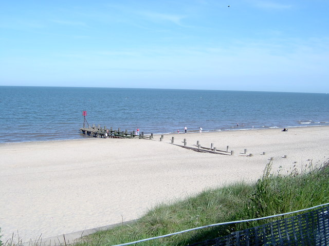
Corton Cliffs, located in Suffolk, England, is a stunning natural formation that stretches along the coastline of the North Sea. These cliffs, also known as Corton Slope, offer breathtaking views and are a popular tourist destination.
Standing at an impressive height of around 20 meters, Corton Cliffs boast a distinctive chalky appearance. The cliffs are formed by the erosion of softer sedimentary rocks over many centuries, leaving behind this striking geological feature. The exposed layers of sediment provide a fascinating glimpse into the area's geological history.
Visitors to Corton Cliffs can enjoy various activities and experiences. The cliff-top offers fantastic vantage points for photographers and nature enthusiasts, who can capture panoramic views of the sea, the surrounding landscape, and even spot passing ships. The beach below the cliffs is a haven for walkers and explorers, with its pebbly shore and rock pools teeming with marine life.
The area is home to a diverse range of flora and fauna, including seabirds, such as gulls and cormorants, which nest in the cliffs. Coastal plants, such as sea kale and thrift, also thrive in this unique habitat.
Corton Cliffs is easily accessible, with a pathway that leads down from the cliff-top to the beach, allowing visitors of all ages to enjoy this natural wonder. The site is well-maintained, with safety barriers in place to protect visitors, and information boards that provide insight into the formation and history of the cliffs.
In conclusion, Corton Cliffs in Suffolk offers a captivating blend of natural beauty, geological significance, and abundant wildlife. Whether it's for leisurely walks, photography, or simply taking in the awe-inspiring views, this remarkable coastal site is a must-visit for nature lovers and those seeking a peaceful retreat.
If you have any feedback on the listing, please let us know in the comments section below.
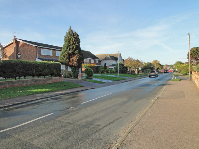
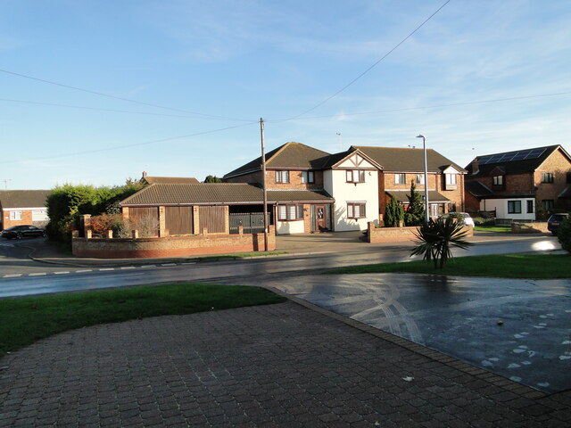
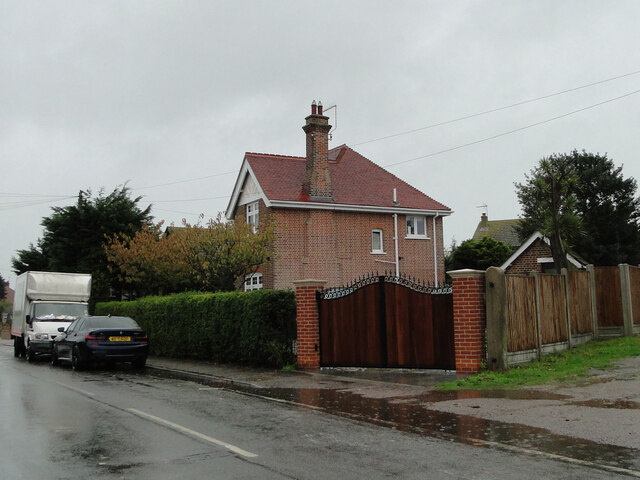
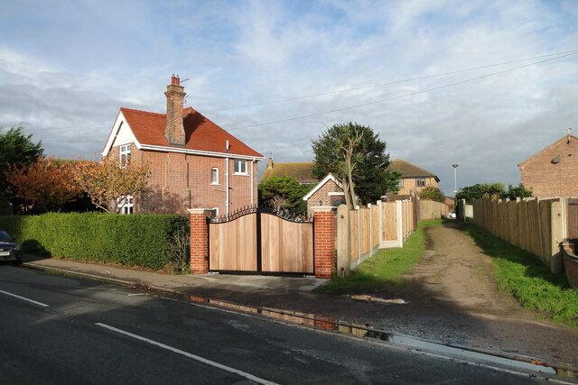
Corton Cliffs Images
Images are sourced within 2km of 52.52902/1.7416773 or Grid Reference TM5398. Thanks to Geograph Open Source API. All images are credited.


Corton Cliffs is located at Grid Ref: TM5398 (Lat: 52.52902, Lng: 1.7416773)
Administrative County: Suffolk
District: East Suffolk
Police Authority: Suffolk
What 3 Words
///wiping.symphonic.stopped. Near Hopton on Sea, Norfolk
Nearby Locations
Related Wikis
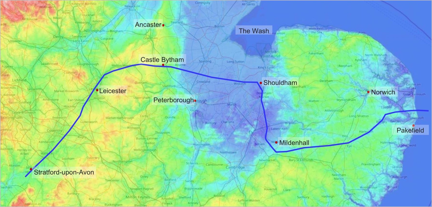
Bytham River
The Bytham River is said to have been one of the great Pleistocene rivers of central and eastern England until it was destroyed by the advancing ice sheets...

Newton, Norfolk
Newton was a village on the north-east coast of the English county of Suffolk. The village, which since 1974 would have been in Norfolk, is now lost to...
Potters Resorts
Potters Resorts is a short breaks holiday company in the United Kingdom, operating two five-star resorts in Norfolk and Essex. The company has been privately...
Hopton-on-Sea
Hopton-on-Sea is a village, civil parish and seaside resort on the coast of East Anglia in the county of Norfolk. The village is 4 miles (6.4 km) south...
Nearby Amenities
Located within 500m of 52.52902,1.7416773Have you been to Corton Cliffs?
Leave your review of Corton Cliffs below (or comments, questions and feedback).