South Cliff
Cliff, Slope in Yorkshire
England
South Cliff

The requested URL returned error: 429 Too Many Requests
If you have any feedback on the listing, please let us know in the comments section below.
South Cliff Images
Images are sourced within 2km of 53.718877/0.046783682 or Grid Reference TA3526. Thanks to Geograph Open Source API. All images are credited.


South Cliff is located at Grid Ref: TA3526 (Lat: 53.718877, Lng: 0.046783682)
Division: East Riding
Unitary Authority: East Riding of Yorkshire
Police Authority: Humberside
What 3 Words
///climbing.accordion.mistress. Near Withernsea, East Yorkshire
Nearby Locations
Related Wikis
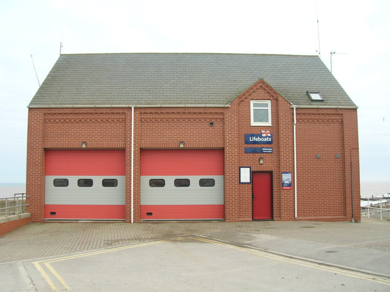
Withernsea Lifeboat Station
Withernsea Lifeboat Station is a Royal National Lifeboat Institution (RNLI) lifeboat station located in the town of Withernsea, East Riding of Yorkshire...
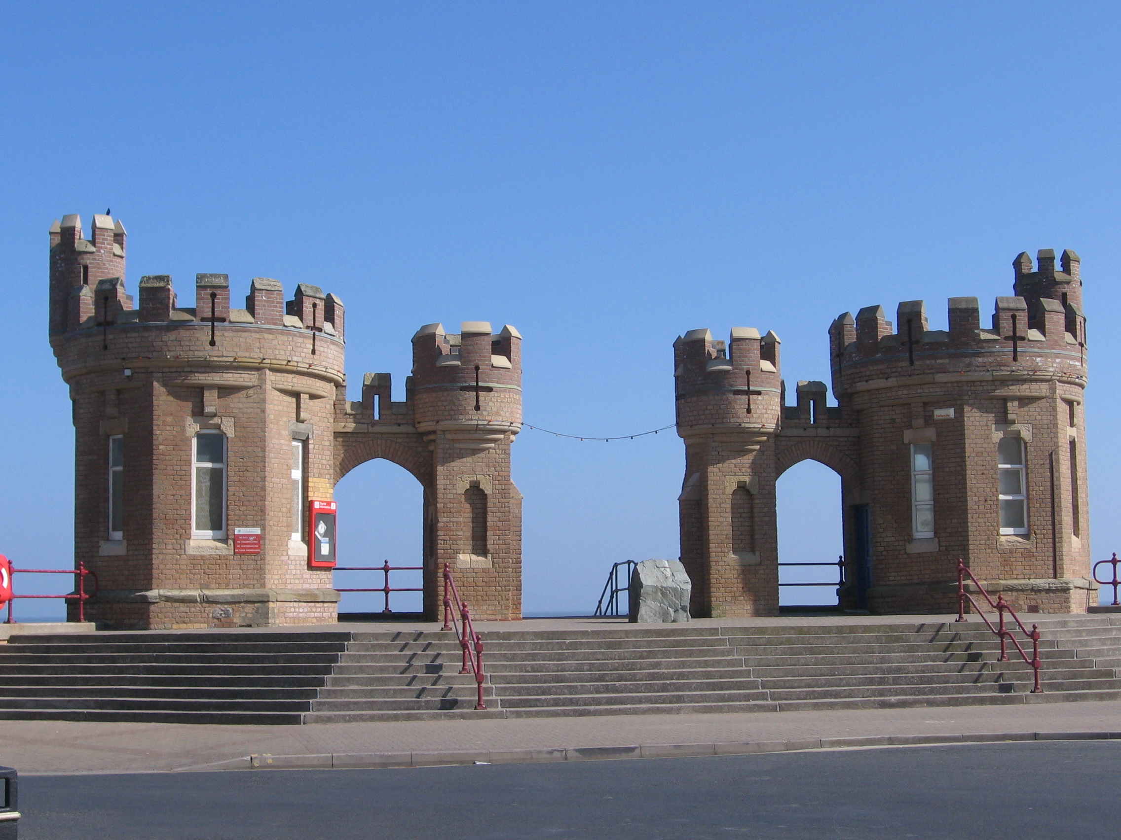
Withernsea
Withernsea is a seaside resort town and civil parish in Holderness, East Riding of Yorkshire, England. Its white inland lighthouse, rising around 127...
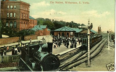
Withernsea railway station
Withernsea railway station is a disused railway station that was the terminus of the North Eastern Railway's Hull and Holderness Railway in Withernsea...

Withernsea Community Hospital
Withernsea Community Hospital is a health facility in Queen Street, Withernsea, East Riding of Yorkshire, England. It is managed by Humber Teaching NHS...
Nearby Amenities
Located within 500m of 53.718877,0.046783682Have you been to South Cliff?
Leave your review of South Cliff below (or comments, questions and feedback).