Gronant

Settlement in Flintshire

Wales

Gronant

WWII defences of North Wales: Gwespyr Royal Naval Radar Station  (1) Overlooking the approaches to the mouths of the Dee and Mersey estuaries, the station was primarily used in a surface and coastal watching role, plotting ship movements, and keeping a close watch for enemy submarines. The station was one of only four other stations, all of which were in northern Scotland, and was only operational for a short time between December 1942 and October 1944. It was equipped with a type T273 Coastal Defence centimetric radar using a rotating parabolic dish antenna. Some of the buildings associated with the station still survive, albeit as ruins. The base of what was the guard picket post can be seen here in the foreground at the entrance to the site.

<a href="https://www.geograph.org.uk/photo/6943912">SJ1083 : WWII defences of North Wales: Gwespyr Royal Naval Radar Station  (2)</a>
WWII defences of North Wales: Gwespyr Royal Naval Radar Station (1) Credit: Mike Searle

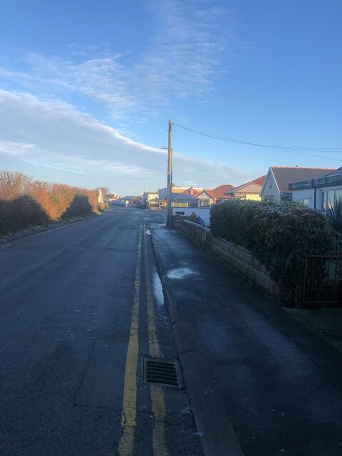
Gronant is a small village located in the county of Flintshire, in the northeastern part of Wales, United Kingdom. Situated on the coast of the Irish Sea, it is positioned between Prestatyn and Talacre, and is part of the community of Ffynnongroyw.

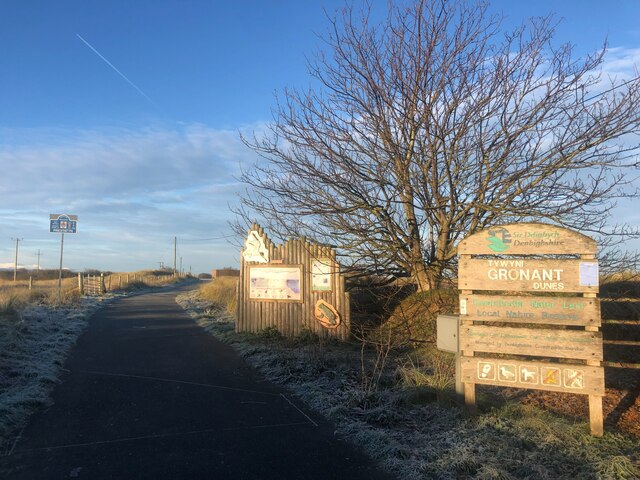
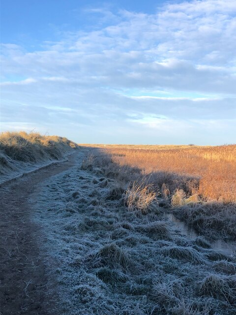
The village of Gronant is known for its beautiful sandy beach, Gronant Dunes, which stretches for miles along the coastline. This area is a designated Site of Special Scientific Interest (SSSI) and is managed by the North Wales Wildlife Trust. The dunes provide a unique habitat for a variety of flora and fauna, including rare orchids and the natterjack toad.

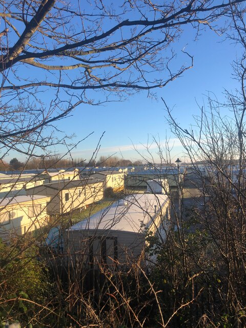
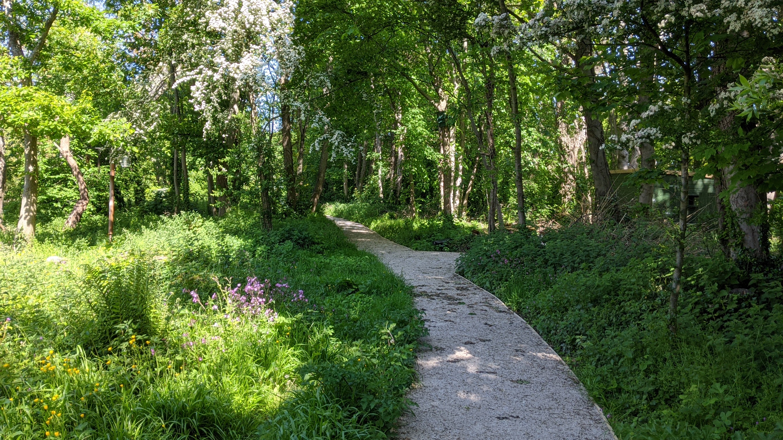
Gronant is a popular destination for nature enthusiasts and beachgoers, offering scenic walks, birdwatching opportunities, and a peaceful setting for relaxation. The nearby Gronant Marsh, located inland, is another important nature reserve known for its wetlands and birdlife.

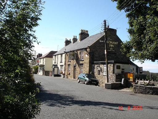
In terms of amenities, the village has a local pub and a small convenience store catering to the needs of its residents and visitors. Gronant is also within easy reach of the larger town of Prestatyn, which offers a wider range of facilities, including shops, supermarkets, and leisure centers.

Transportation options in Gronant include bus services connecting the village to nearby towns and villages, as well as easy access to major road networks such as the A548 and A55.

Overall, Gronant is a charming coastal village with stunning natural surroundings, making it an attractive destination for both locals and tourists seeking a peaceful retreat and an opportunity to connect with nature.

If you have any feedback on the listing, please let us know in the comments section below.
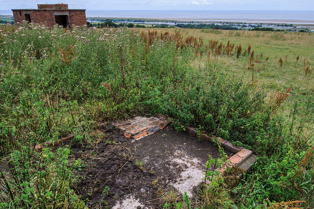
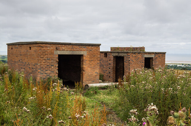
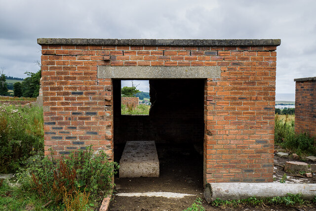
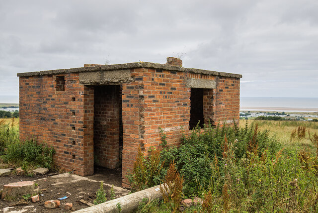
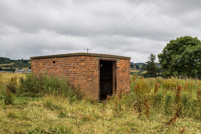
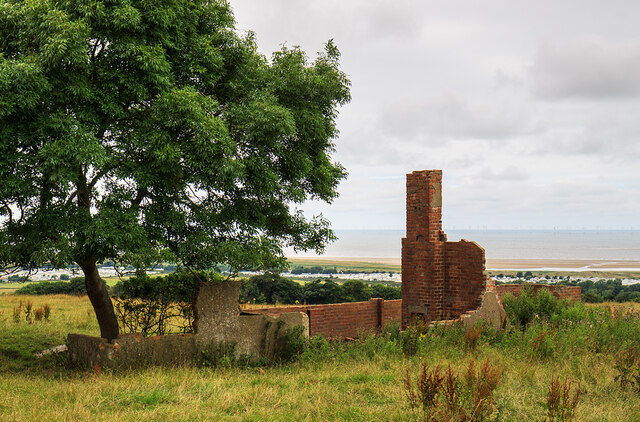
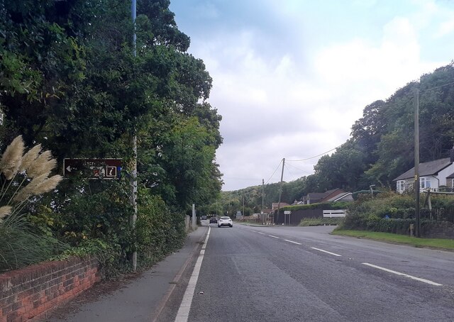
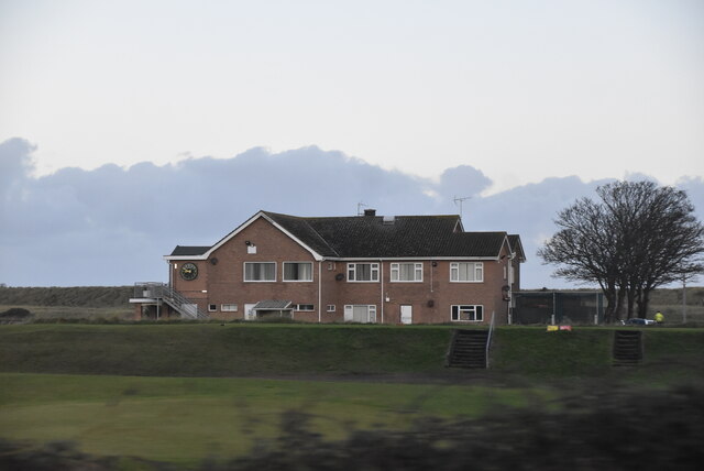
Gronant Images

Images are sourced within 2km of 53.339877/-3.362969 or Grid Reference SJ0983. Thanks to Geograph Open Source API. All images are credited.

WWII defences of North Wales: Gwespyr Royal Naval Radar Station  (1) Overlooking the approaches to the mouths of the Dee and Mersey estuaries, the station was primarily used in a surface and coastal watching role, plotting ship movements, and keeping a close watch for enemy submarines. The station was one of only four other stations, all of which were in northern Scotland, and was only operational for a short time between December 1942 and October 1944. It was equipped with a type T273 Coastal Defence centimetric radar using a rotating parabolic dish antenna. Some of the buildings associated with the station still survive, albeit as ruins. The base of what was the guard picket post can be seen here in the foreground at the entrance to the site.

<a href="https://www.geograph.org.uk/photo/6943912">SJ1083 : WWII defences of North Wales: Gwespyr Royal Naval Radar Station  (2)</a>
WWII defences of North Wales: Gwespyr Royal Naval Radar Station (1)
Overlooking the approaches to the mouths of the Dee and Mersey estuaries, the station was primarily used in a surface and coastal watching role, plotting ship movements, and keeping a close watch for enemy submarines. The station was one of only four other stations, all of which were in northern Scotland, and was only operational for a short time between December 1942 and October 1944. It was equipped with a type T273 Coastal Defence centimetric radar using a rotating parabolic dish antenna. Some of the buildings associated with the station still survive, albeit as ruins. The base of what was the guard picket post can be seen here in the foreground at the entrance to the site. SJ1083 : WWII defences of North Wales: Gwespyr Royal Naval Radar Station (2)
WWII defences of North Wales: Gwespyr Royal Naval Radar Station  (2) Two buildings, the one on the left housed the T273 naval CD transmitter/receiver equipment, and on the right, the radar plinth that contained turning gear for a rotating antenna on the roof within the circular brick parapet.

<a href="https://www.geograph.org.uk/photo/6943914">SJ1083 : WWII defences of North Wales: Gwespyr Royal Naval Radar Station  (3)</a>
WWII defences of North Wales: Gwespyr Royal Naval Radar Station (2)
Two buildings, the one on the left housed the T273 naval CD transmitter/receiver equipment, and on the right, the radar plinth that contained turning gear for a rotating antenna on the roof within the circular brick parapet. SJ1083 : WWII defences of North Wales: Gwespyr Royal Naval Radar Station (3)
WWII defences of North Wales: Gwespyr Royal Naval Radar Station  (3) The Tx/Rx building.

<a href="https://www.geograph.org.uk/photo/6943943">SJ1083 : WWII defences of North Wales: Gwespyr Royal Naval Radar Station  (4)</a>
WWII defences of North Wales: Gwespyr Royal Naval Radar Station (3)
WWII defences of North Wales: Gwespyr Royal Naval Radar Station  (4) Radar plinth, the building that housed the turning gear for a roof mounted parabolic antenna.

<a href="https://www.geograph.org.uk/photo/6943957">SJ1083 : WWII defences of North Wales: Gwespyr Royal Naval Radar Station  (5)</a>
WWII defences of North Wales: Gwespyr Royal Naval Radar Station (4)
Radar plinth, the building that housed the turning gear for a roof mounted parabolic antenna. SJ1083 : WWII defences of North Wales: Gwespyr Royal Naval Radar Station (5)
WWII defences of North Wales: Gwespyr Royal Naval Radar Station  (5) Standby power generator building.

<a href="https://www.geograph.org.uk/photo/6943958">SJ1083 : WWII defences of North Wales: Gwespyr Royal Naval Radar Station  (6)</a>
WWII defences of North Wales: Gwespyr Royal Naval Radar Station (5)
WWII defences of North Wales: Gwespyr Royal Naval Radar Station  (6) Remains of the Army guard accommodation.

START: <a href="https://www.geograph.org.uk/photo/6943910">SJ1083 : WWII defences of North Wales: Gwespyr Royal Naval Radar Station  (1)</a>
WWII defences of North Wales: Gwespyr Royal Naval Radar Station (6)
A548 north of Gwespyr
Study of a Gasoline Station Esso, Gwespyr.

 This photograph is part of a series taken in homage to the American artist Ed Ruscha's 1963 publication of 'Twentysix Gasoline Stations'.
 More properly known as filling stations in the UK, I am attempting to photograph as many as possible to mark the sixty year anniversary.
Study of a Gasoline Station
Esso, Gwespyr. This photograph is part of a series taken in homage to the American artist Ed Ruscha's 1963 publication of 'Twentysix Gasoline Stations'. More properly known as filling stations in the UK, I am attempting to photograph as many as possible to mark the sixty year anniversary.
Clubhouse, Prestatyn Golf Club
Shore Road, Gronant Looking north, heading for Presthaven Holiday Camp and the beach
Shore Road, Gronant
Looking north, heading for Presthaven Holiday Camp and the beach
Static caravans at Presthaven Beach resort There are thousands of statics along the coast between Gronant and Talacre
Static caravans at Presthaven Beach resort
There are thousands of statics along the coast between Gronant and Talacre
Path into Gronant Dunes Nature Reserve The dunes have been designated a SSSI as they provide an important habitat for a variety of important plant and animal life. Marine flora found here includes sea holly, marram grass and rare dune fescue.  Also here are natterjack toads, lizards and North Wales’ only breeding colony of little terns.
Path into Gronant Dunes Nature Reserve
The dunes have been designated a SSSI as they provide an important habitat for a variety of important plant and animal life. Marine flora found here includes sea holly, marram grass and rare dune fescue. Also here are natterjack toads, lizards and North Wales’ only breeding colony of little terns.
View over Gronant Nature Reserve Snow-capped Eryri plainly visible on a beautiful January morning
View over Gronant Nature Reserve
Snow-capped Eryri plainly visible on a beautiful January morning
Path through Gronant Dunes After a hard night's frost, the grass in the shade is still frozen hard
Path through Gronant Dunes
After a hard night's frost, the grass in the shade is still frozen hard
Dunes near Tyn-y-Morfa
Path through Gronant Dunes This path leads through Gronant Dunes towards Presthaven Sands Holiday Park.

Gronant <span class="nowrap"><a title="http://www.deeestuary.co.uk/swshore.htm#gronant" rel="nofollow ugc noopener" href="http://www.deeestuary.co.uk/swshore.htm#gronant">Link</a><img style="margin-left:2px;" alt="External link" title="External link - shift click to open in new window" src="https://s1.geograph.org.uk/img/external.png" width="10" height="10"/></span>
Path through Gronant Dunes
This path leads through Gronant Dunes towards Presthaven Sands Holiday Park. Gronant LinkExternal link
Steps to Gronant Dunes Gronant <span class="nowrap"><a title="http://www.deeestuary.co.uk/swshore.htm#gronant" rel="nofollow ugc noopener" href="http://www.deeestuary.co.uk/swshore.htm#gronant">Link</a><img style="margin-left:2px;" alt="External link" title="External link - shift click to open in new window" src="https://s1.geograph.org.uk/img/external.png" width="10" height="10"/></span>
Steps to Gronant Dunes
Gronant LinkExternal link
Path through Gronant Dunes The path leads through the dunes and nature reserve towards Presthaven Sands Holiday Park.

Gronant <span class="nowrap"><a title="http://www.deeestuary.co.uk/swshore.htm#gronant" rel="nofollow ugc noopener" href="http://www.deeestuary.co.uk/swshore.htm#gronant">Link</a><img style="margin-left:2px;" alt="External link" title="External link - shift click to open in new window" src="https://s1.geograph.org.uk/img/external.png" width="10" height="10"/></span>
Path through Gronant Dunes
The path leads through the dunes and nature reserve towards Presthaven Sands Holiday Park. Gronant LinkExternal link
Show me another place!

Gronant is located at Grid Ref: SJ0983 (Lat: 53.339877, Lng: -3.362969)

Unitary Authority: Flintshire

Police Authority: North Wales

What 3 Words

///chefs.speak.intensely. Near Gronant, Flintshire

Nearby Locations

Gronant Little Pool Wood

Related Wikis

Gronant

Gronant is a village in Flintshire, Wales, about 2 miles east of Prestatyn. The population, as measured by the 2001 census, is 1,595, living in 697 households...
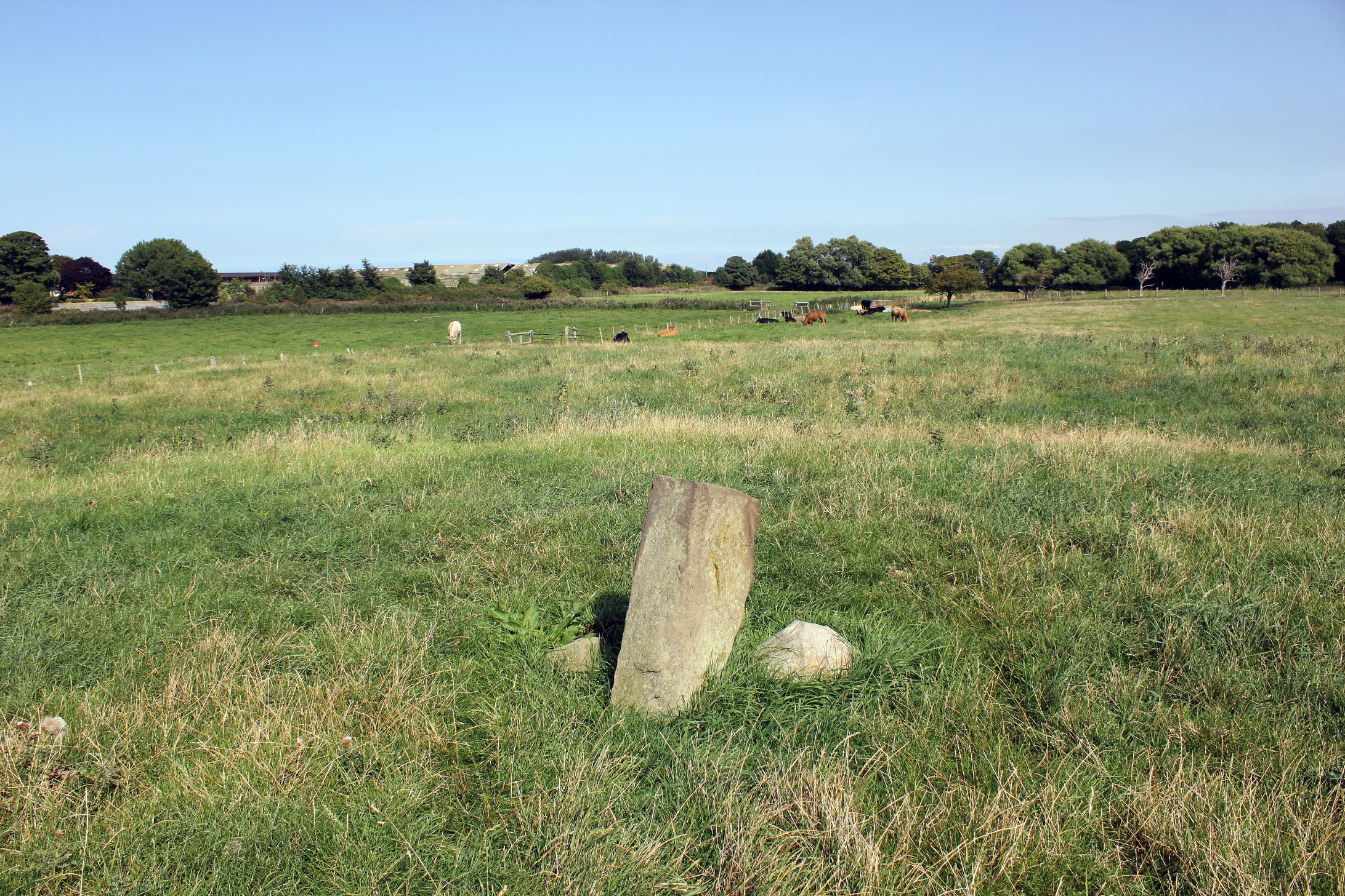
Big Pool Wood

Big Pool Wood is a Nature reserve located near Gronant, Flintshire, Wales. The site is part of the Dee Estuary SSSI & SAC due to the unique wildlife and...

Gwespyr

Gwespyr is a village in Flintshire on the north coast of Wales in the community of Llanasa. Gwespyr had a population of 289 people in the United Kingdom...

Prestatyn Castle

Prestatyn Castle is a motte and bailey castle in Prestatyn, Wales, built in 1157 on land granted to the Norman lord Robert Banastre by King Henry II of...

Nearby Amenities

Located within 500m of 53.339877,-3.362969
Upper Gronant
Place: village
Lat/Long: 53.3368473/-3.365009
Lower Gronant
Name Cy: Lower Gronant
Name En: Lower Gronant
Place: village
Lat/Long: 53.3410162/-3.3658981
Pub
Gronant Inn
Addr Postcode: LL19 9TG
Addr Street: Llanasa Road
Fhrs Id: 610667
Source Addr: FHRS Open Data
Wikidata: Q29502040
Lat/Long: 53.3374331/-3.3632753
Traffic Signals
Lat/Long: 53.3402933/-3.3668316
Post Box
Lat/Long: 53.3374707/-3.3637561
Wayside Stores
Addr Postcode: LL19 9SS
Addr Street: Shore Road
Check Date: 2024-04-13
Fhrs Id: 1039019
Shop: convenience
Source Addr: FHRS Open Data
Lat/Long: 53.3423552/-3.3669314
Grit Bin
Lat/Long: 53.3382552/-3.3601779
Turning Circle
Lat/Long: 53.340501/-3.3660561
Power: pole
Lat/Long: 53.3354784/-3.3622664
Power: pole
Lat/Long: 53.3361534/-3.3624857
Power: pole
Lat/Long: 53.3360758/-3.3637076
Power: pole
Lat/Long: 53.3366486/-3.362649
Power: pole
Lat/Long: 53.3360188/-3.3648548
Power: pole
Lat/Long: 53.3363827/-3.3659979
Power: pole
Lat/Long: 53.3367254/-3.3670145
Parking
Lat/Long: 53.3407504/-3.3595806
Leisure: playground
Lat/Long: 53.338439/-3.3571187
Bus Stop
Gronant, Prestatyn Road / Crossroads
Bus: yes
Naptan AtcoCode: 5120AWF80847
Naptan Bearing: W
Naptan CommonName: Crossroads
Naptan Crossing: Shore Road
Naptan Indicator: W-bound
Naptan LocalityName: Gronant
Naptan NaptanCode: fliatwp
Naptan PlusbusZoneRef: PSTA
Naptan Street: Prestatyn Road
Public Transport: platform
Source: naptan_import
Lat/Long: 53.340207/-3.3669635
Power: pole
Lat/Long: 53.3369521/-3.3677337
Power: pole
Lat/Long: 53.337748/-3.3677123
Power: pole
Lat/Long: 53.3382605/-3.3676774
Power: pole
Lat/Long: 53.3384959/-3.3671034
Power: pole
Lat/Long: 53.3398828/-3.3673958
Power: pole
Lat/Long: 53.3401551/-3.3674494
Power: pole
Lat/Long: 53.3378569/-3.3690587
Power: pole
Lat/Long: 53.3392054/-3.3672871
Power: pole
Lat/Long: 53.3406078/-3.367529
Power: pole
Lat/Long: 53.341531/-3.3677092
Material: wood
Power: pole
Lat/Long: 53.3424708/-3.3679985
Barrier: bollard
Lat/Long: 53.3404404/-3.3661853
Barrier: bollard
Lat/Long: 53.3404449/-3.3660652
Barrier: bollard
Lat/Long: 53.3404877/-3.3659825
Barrier: bollard
Lat/Long: 53.3404418/-3.3661465
Barrier: bollard
Lat/Long: 53.3404433/-3.3661059
Barrier: bollard
Lat/Long: 53.3404591/-3.3660377
Barrier: bollard
Lat/Long: 53.3404734/-3.3660101
Direction: 170
Generator Method: photovoltaic
Generator Output Electricity: yes
Generator Solar Modules: 12
Generator Source: solar
Generator Type: solar_photovoltaic_panel
Location: roof
Power: generator
Lat/Long: 53.3378776/-3.3615182
Direction: 170
Generator Method: photovoltaic
Generator Output Electricity: yes
Generator Solar Modules: 18
Generator Source: solar
Generator Type: solar_photovoltaic_panel
Location: roof
Power: generator
Lat/Long: 53.338094/-3.3618486
Direction: 165
Generator Method: photovoltaic
Generator Output Electricity: yes
Generator Solar Modules: 22
Generator Source: solar
Generator Type: solar_photovoltaic_panel
Location: roof
Power: generator
Lat/Long: 53.340057/-3.3666188
Direction: 170
Generator Method: photovoltaic
Generator Output Electricity: yes
Generator Solar Modules: 10
Generator Source: solar
Generator Type: solar_photovoltaic_panel
Location: roof
Power: generator
Lat/Long: 53.3405757/-3.3650102
Power: pole
Lat/Long: 53.3357968/-3.3650213
Direction: S
Generator Method: photovoltaic
Generator Output Electricity: yes
Generator Solar Modules: 3
Generator Source: solar
Generator Type: solar_photovoltaic_panel
Location: roof
Power: generator
Lat/Long: 53.3360421/-3.3591067
Direction: SSE
Generator Method: photovoltaic
Generator Output Electricity: yes
Generator Solar Modules: 16
Generator Source: solar
Generator Type: solar_photovoltaic_panel
Location: roof
Power: generator
Lat/Long: 53.3379523/-3.360887
Direction: ESE
Generator Method: photovoltaic
Generator Output Electricity: yes
Generator Solar Modules: 16
Generator Source: solar
Generator Type: solar_photovoltaic_panel
Location: roof
Power: generator
Lat/Long: 53.3380164/-3.3644141
Direction: 195
Generator Method: photovoltaic
Generator Output Electricity: yes
Generator Solar Modules: 12
Generator Source: solar
Generator Type: solar_photovoltaic_panel
Location: roof
Power: generator
Lat/Long: 53.3381093/-3.3660382
Information: map
Tourism: information
Lat/Long: 53.3431822/-3.3673246
Bus Stop
Gronant, Mostyn Road / Crossroads
Bus: yes
Naptan AtcoCode: 5120AWF80846
Naptan Bearing: E
Naptan CommonName: Crossroads
Naptan Crossing: Gronant Hill
Naptan Indicator: after
Naptan LocalityName: Gronant
Naptan NaptanCode: fliatwm
Naptan PlusbusZoneRef: PSTA
Naptan Street: Mostyn Road
Public Transport: platform
Source: naptan_import
Lat/Long: 53.3405825/-3.3642487
Waste Basket
Waste: dog_excrement
Lat/Long: 53.3428949/-3.3674968
Waste Basket
Lat/Long: 53.3428797/-3.3674539
The data included in this document is from www.openstreetmap.org. The data is made available under ODbL.

Have you been to Gronant?

Leave your review of Gronant below (or comments, questions and feedback).