Grofield
Settlement in Monmouthshire
Wales
Grofield
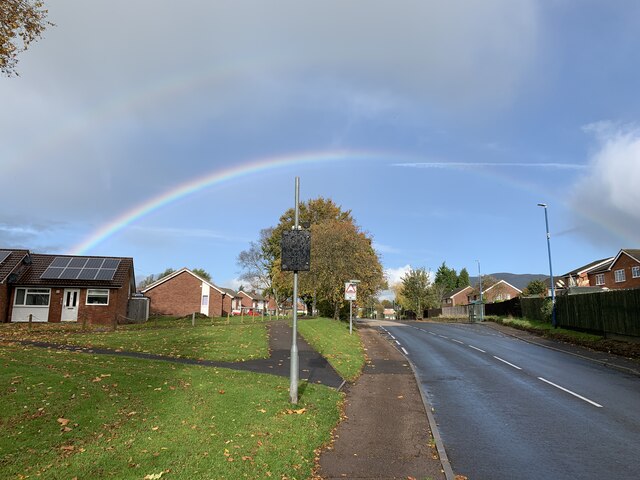
Grofield is a small village located in Monmouthshire, Wales. Situated on the eastern bank of the River Wye, it is surrounded by picturesque countryside and stunning natural landscapes. With a population of approximately 500 residents, Grofield offers a tranquil and tight-knit community atmosphere.
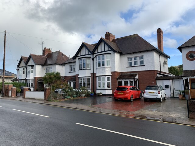
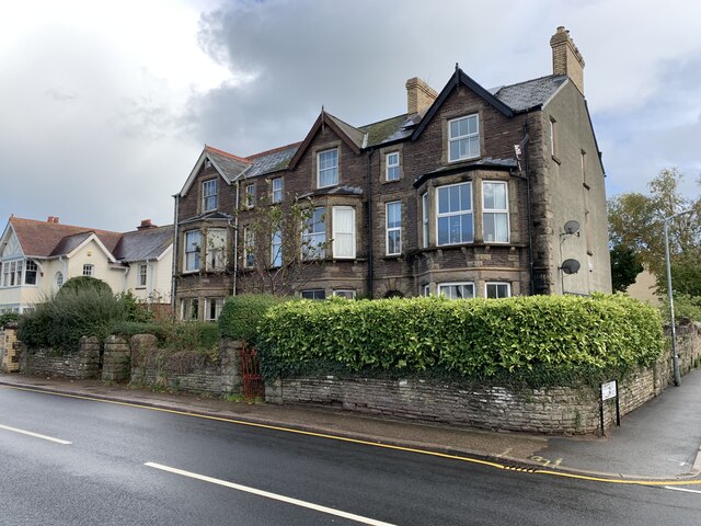
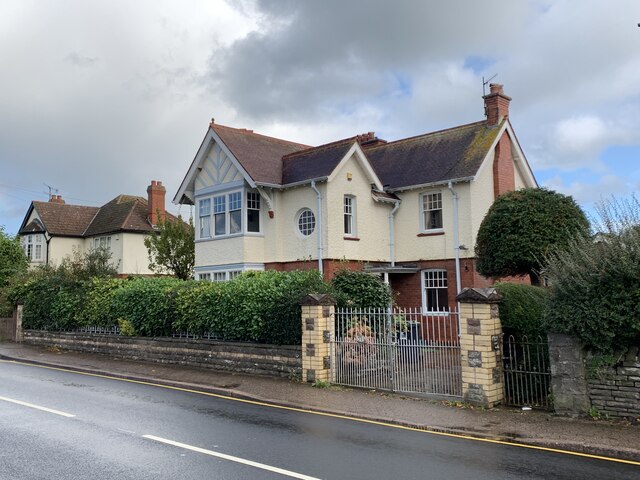
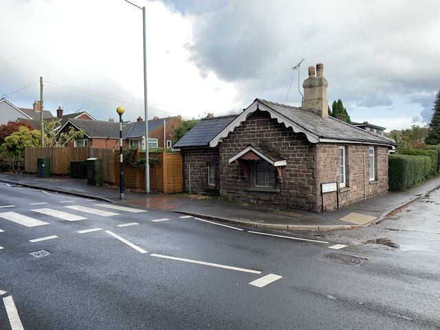
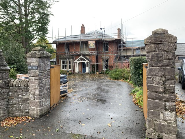
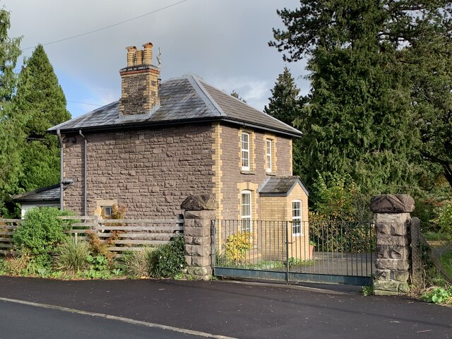
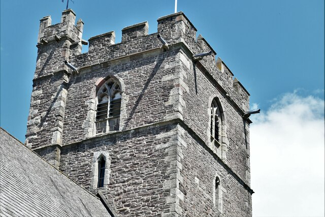
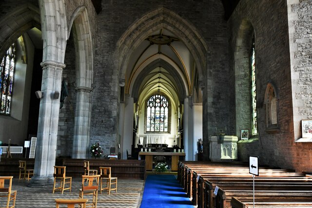
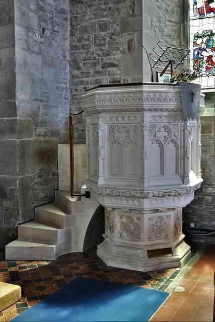
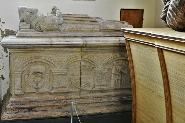
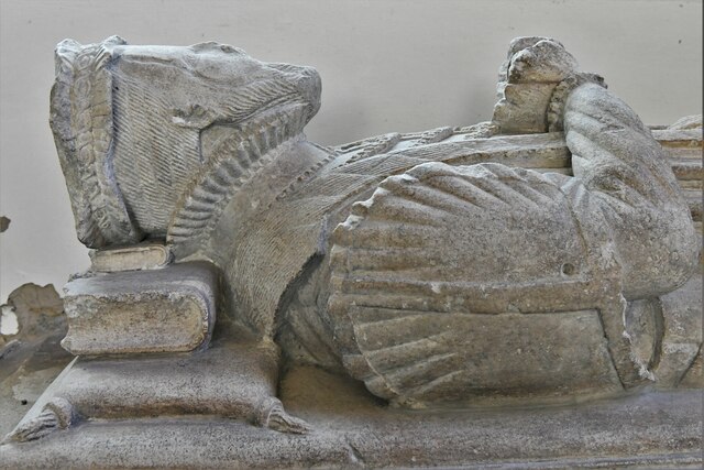
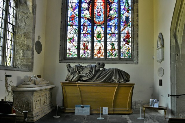
The village dates back to medieval times and is renowned for its historical significance. It features notable landmarks such as St. Nicholas Church, a beautiful 13th-century structure that stands as a testament to the village's rich heritage. Grofield also boasts a number of traditional stone cottages and charming Georgian houses, adding to its quaint and idyllic character.
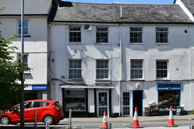
Despite its small size, Grofield offers a range of amenities for its residents. The village is home to a local pub, The Grofield Inn, which is a popular gathering spot for locals and visitors alike. Additionally, there is a community center that hosts various social events and activities throughout the year.
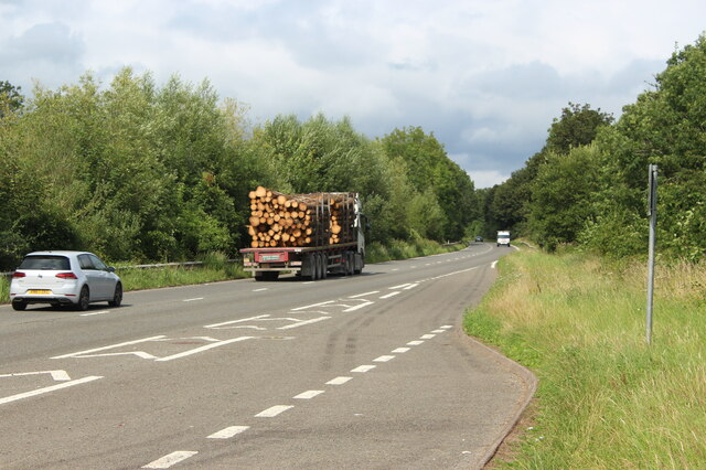
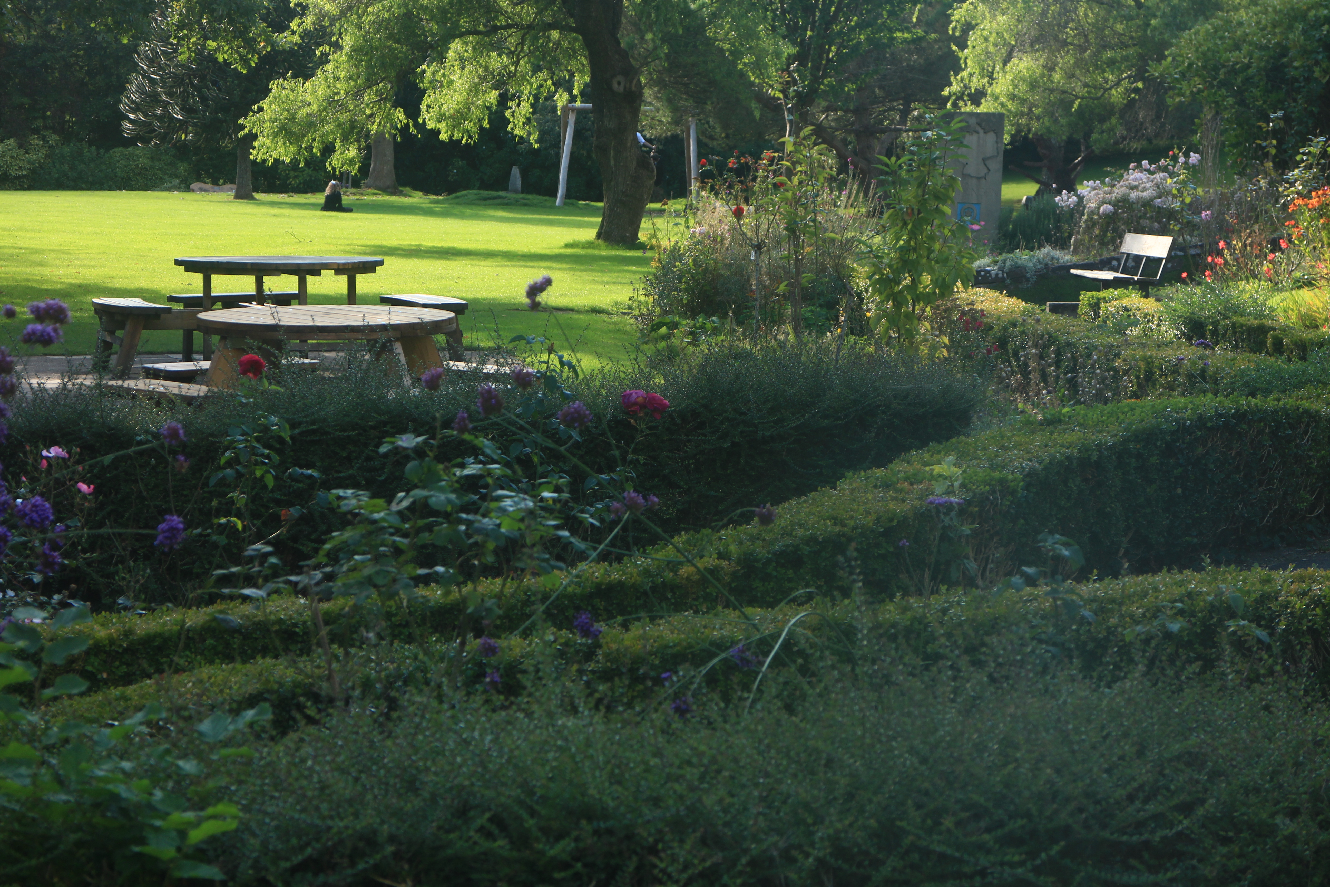
Nature enthusiasts will find plenty to explore in Grofield and its surroundings. The village is located near the renowned Wye Valley Area of Outstanding Natural Beauty, offering opportunities for hiking, cycling, and wildlife spotting. The nearby River Wye also provides a serene setting for fishing and boating enthusiasts.
Grofield benefits from its proximity to larger towns such as Monmouth and Chepstow, which provide additional amenities and services including schools, shops, and healthcare facilities. The village is well-connected by road, with easy access to the A40 and A466, enabling residents to explore the wider Monmouthshire region.
Overall, Grofield offers a charming village experience with its historical buildings, natural beauty, and strong sense of community.
If you have any feedback on the listing, please let us know in the comments section below.
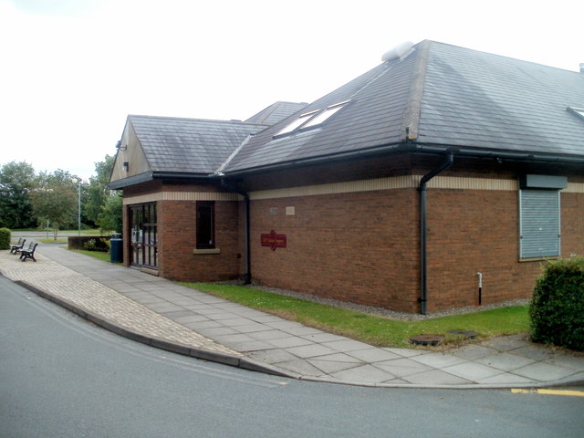
Grofield Images
Images are sourced within 2km of 51.822341/-3.027076 or Grid Reference SO2914. Thanks to Geograph Open Source API. All images are credited.


Grofield is located at Grid Ref: SO2914 (Lat: 51.822341, Lng: -3.027076)
Unitary Authority: Monmouthshire
Police Authority: Gwent
What 3 Words
///nicer.leaps.dislodge. Near Abergavenny, Monmouthshire
Nearby Locations
Related Wikis
Linda Vista Gardens
Linda Vista Gardens is a small urban park in the town of Abergavenny, Monmouthshire Wales. Originally the garden of a private house, the gardens came into...

Abergavenny Bridge
Abergavenny Bridge, (also known as Usk Bridge), crosses the River Usk at the boundary between Abergavenny and Llanfoist. The bridge carries the A4143....
Abergavenny Brecon Road railway station
Abergavenny (Brecon Road) railway station was a station on the London and North Western Railway's Heads of the Valleys line serving the town of Abergavenny...

Baker Street drill hall, Abergavenny
The Baker Street drill hall is a former military installation in Abergavenny in Wales. == History == The building was designed as the headquarters of the...

Nevill Hall Hospital
Nevill Hall Hospital (Welsh: Ysbyty Nevill Hall) is a district general hospital in Abergavenny, north Monmouthshire, Wales. It is managed by the Aneurin...

St John's Church, Abergavenny
St John's Church was the parish church for Abergavenny, Monmouthshire until the Dissolution of the Monasteries when the priory church of St Mary's Priory...
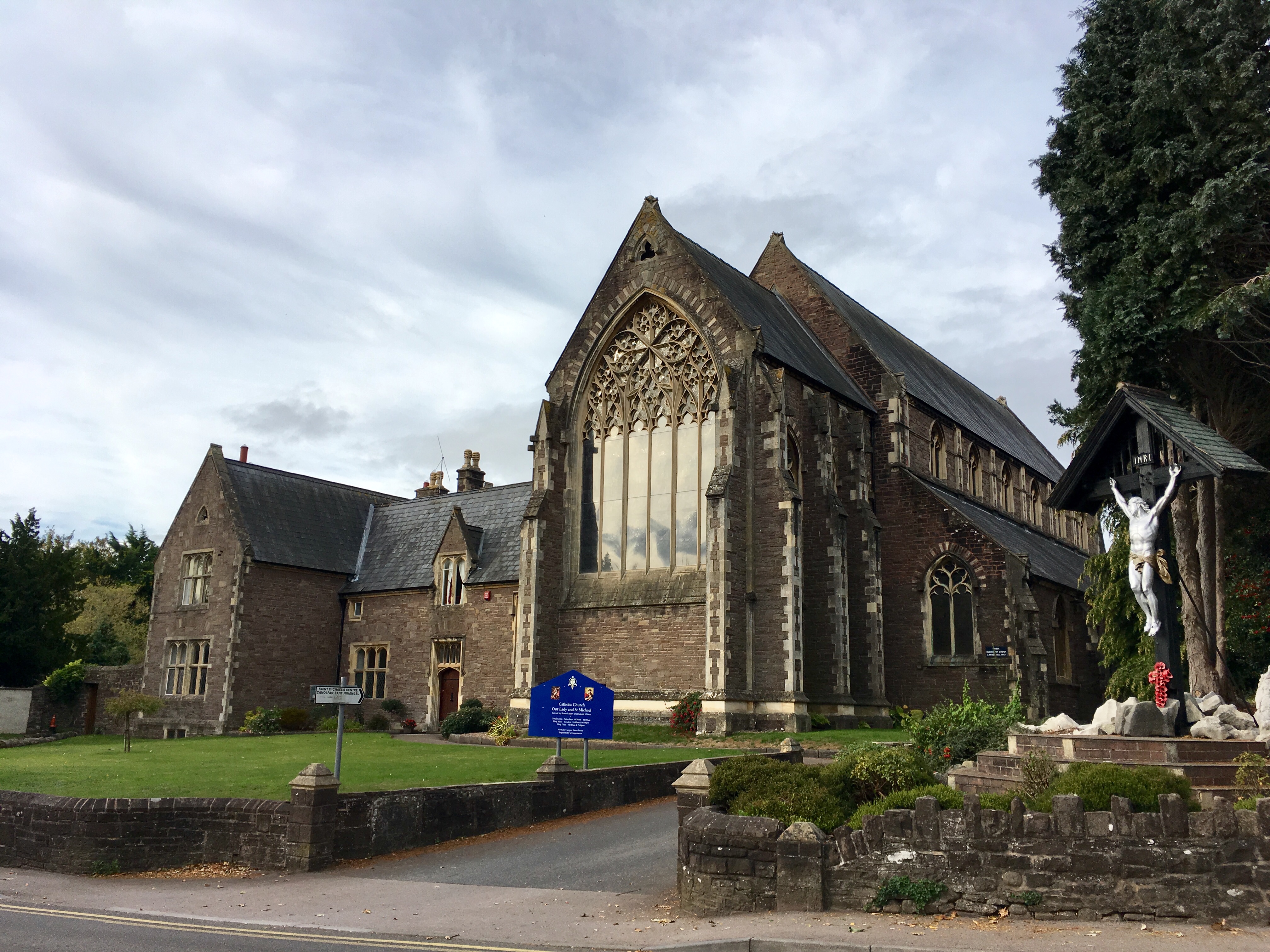
Church of Our Lady and St Michael, Abergavenny
The Church of Our Lady and St Michael in Abergavenny, Monmouthshire, is a Roman Catholic parish church. A Grade II* listed building, it was built between...

Abergavenny town walls
Abergavenny's town walls are a sequence of defensive walls built around the town of Abergavenny in Monmouthshire, Wales. == History == After the Norman...
Nearby Amenities
Located within 500m of 51.822341,-3.027076Have you been to Grofield?
Leave your review of Grofield below (or comments, questions and feedback).