Cross Point
Cliff, Slope in Shetland
Scotland
Cross Point
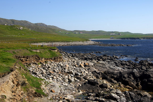
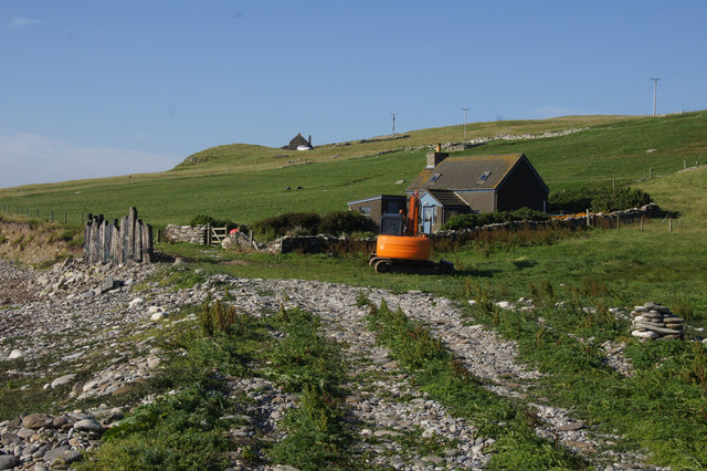
Cross Point is a prominent geographical feature located on the Shetland Islands, an archipelago in Scotland. Situated in the central part of the island of Shetland Mainland, Cross Point is characterized by its impressive cliffs and slopes, making it a popular destination for both locals and tourists alike.
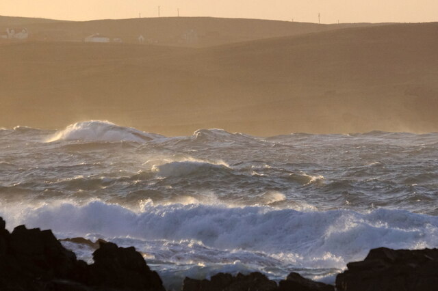
The cliffs at Cross Point are known for their sheer height and dramatic appearance. Rising up to several hundred feet above sea level, these imposing cliffs offer breathtaking panoramic views of the surrounding landscape and the North Sea beyond. The rugged nature of the cliffs adds to their allure, attracting hikers, photographers, and nature enthusiasts.
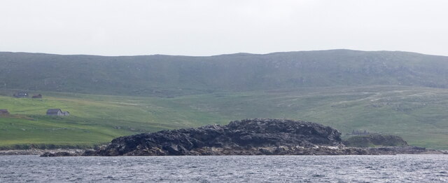
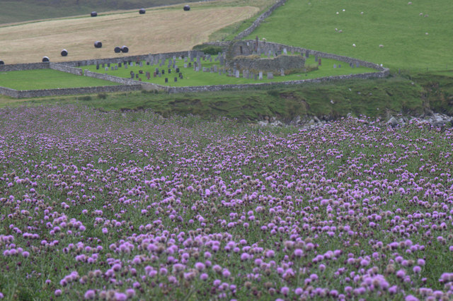
Adjacent to the cliffs, the slopes at Cross Point offer a contrasting landscape. These gentle inclines provide a softer, more accessible terrain for visitors to explore. Covered in an array of vegetation including heather, grasses, and wildflowers, the slopes contribute to the overall scenic beauty of the area.
Cross Point also holds historical and cultural significance. The site is believed to have been inhabited by humans for thousands of years, with archaeological evidence indicating early settlements in the area. In addition, the nearby village of Cross is home to a small community, adding a sense of local charm to the region.
Overall, Cross Point in Shetland offers a captivating blend of natural beauty, historical significance, and cultural heritage. Its towering cliffs, picturesque slopes, and surrounding landscapes make it a must-visit destination for those seeking to immerse themselves in the rugged beauty of the Shetland Islands.
If you have any feedback on the listing, please let us know in the comments section below.
Cross Point Images
Images are sourced within 2km of 60.719627/-0.95515945 or Grid Reference HP5704. Thanks to Geograph Open Source API. All images are credited.


Cross Point is located at Grid Ref: HP5704 (Lat: 60.719627, Lng: -0.95515945)
Unitary Authority: Shetland Islands
Police Authority: Highlands and Islands
What 3 Words
///replaces.defensive.buyers. Near Uyeasound, Shetland Islands
Nearby Locations
Related Wikis

St Olaf's Church, Unst
St Olaf's Church, Unst is a ruined medieval church located on the island of Unst, in Shetland, Scotland, UK. The church was built in the Celtic style,...

Brough Holm
Brough Holm is a small island off Unst, in the North Isles of Shetland. It is off Westing, which as the name implies is on the west coast of Unst. The...

Society of Our Lady of the Isles
The Society of Our Lady of the Isles (SOLI) is a small Anglican religious order for women, founded in the late 20th century. It is located in Shetland...

Cullivoe
Cullivoe (Old Norse: Kollavágr - Bay of Kolli), is a village on Yell in the Shetland Islands. It is in the north east of the island, near Bluemull Sound...

Belmont House, Shetland
Belmont House is a neo classical Georgian Country House Estate on the island of Unst, the most northerly of the Shetland Islands, [United Kingdom] and...

Uyeasound
Uyeasound is a village on the Isle of Unst, the northernmost island of the Shetland Islands, Scotland. It takes its name from the neighbouring strait of...
Belmont, Shetland
Belmont is a settlement and ferry terminal in southern Unst in the Shetland Islands. The ferry crosses from here to Gutcher in Yell and to Hamars Ness...
Mailand, Shetland
Mailand is a hamlet in the Shetland Islands. It is on the island of Unst, the northernmost of the inhabited British Isles, near its southern coast. �...
Nearby Amenities
Located within 500m of 60.719627,-0.95515945Have you been to Cross Point?
Leave your review of Cross Point below (or comments, questions and feedback).