Kirkatafts

Cliff, Slope in Shetland

Scotland

Kirkatafts

Killer Whales (Orcinus orca) passing Gutcher Taken from Belmont on Unst.
Killer Whales (Orcinus orca) passing Gutcher Credit: Mike Pennington

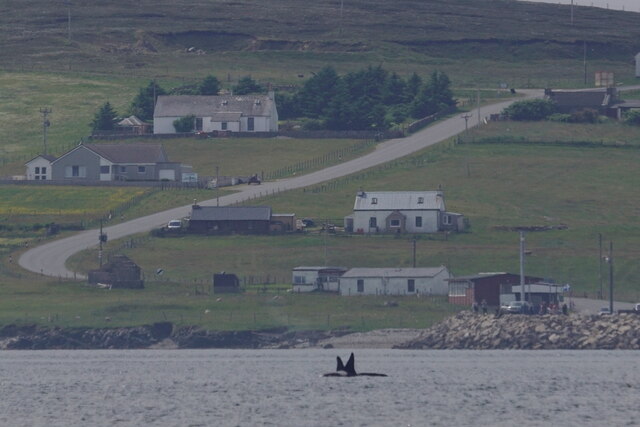
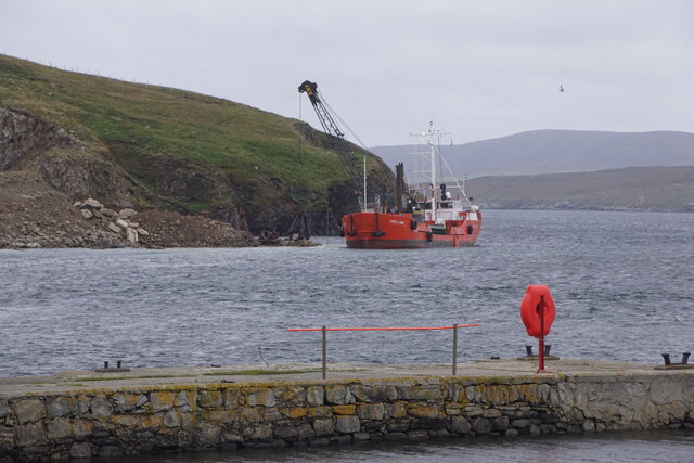
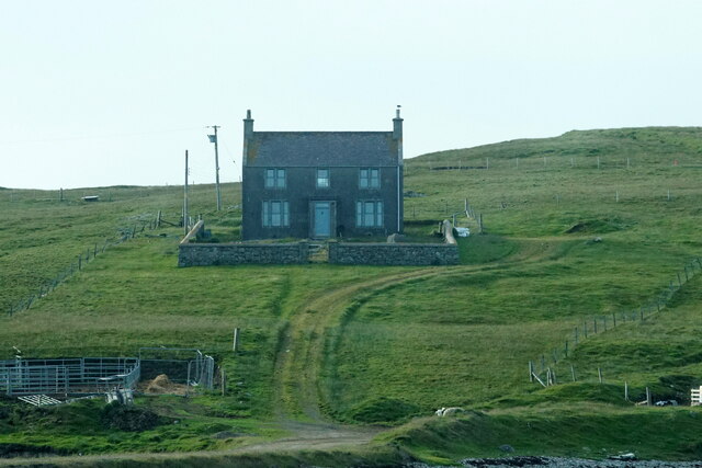
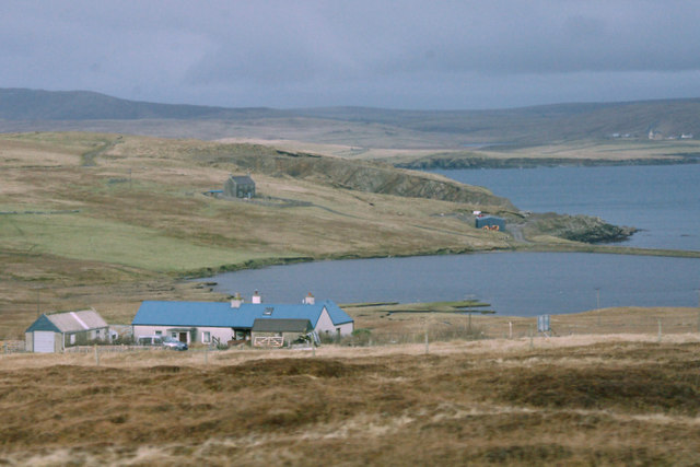
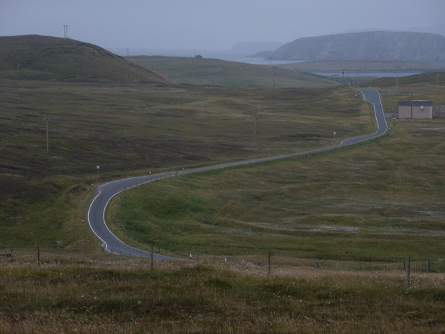
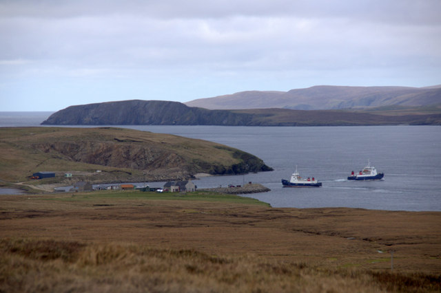
Kirkatafts is a picturesque and remote area located on the island of Shetland, known for its stunning cliffs and slopes. Situated on the western coast of the island, it offers breathtaking views of the North Atlantic Ocean.

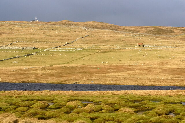
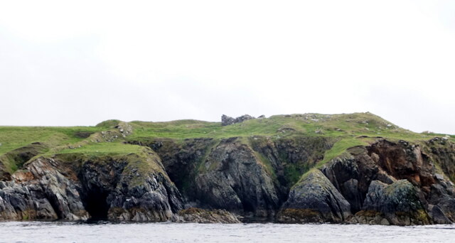
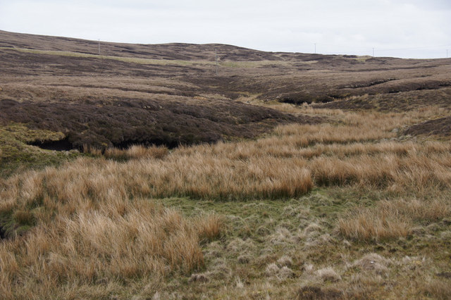
The cliffs in Kirkatafts are renowned for their impressive height and rugged beauty. Rising up to 200 feet above sea level, these cliffs provide a dramatic backdrop to the wild and untamed landscape. The sheer rock faces are often covered in lush vegetation, adding to the area's natural charm.

The slopes in Kirkatafts are equally captivating, with their rolling hills and verdant grasslands. These slopes offer a range of walking and hiking opportunities for outdoor enthusiasts. Visitors can take leisurely strolls along the gentle slopes or embark on more challenging hikes to explore the higher elevations.

The area is also home to a diverse range of wildlife, making it a popular spot for nature lovers and birdwatchers. Puffins, fulmars, and razorbills can often be spotted nesting in the cliffs, while seals and otters can be seen lounging on the rocky shores below.

Kirkatafts is a place of tranquility and natural beauty, far removed from the hustle and bustle of urban life. It offers a perfect escape for those seeking solace in nature or an opportunity to immerse themselves in the rugged wilderness of Shetland.

If you have any feedback on the listing, please let us know in the comments section below.
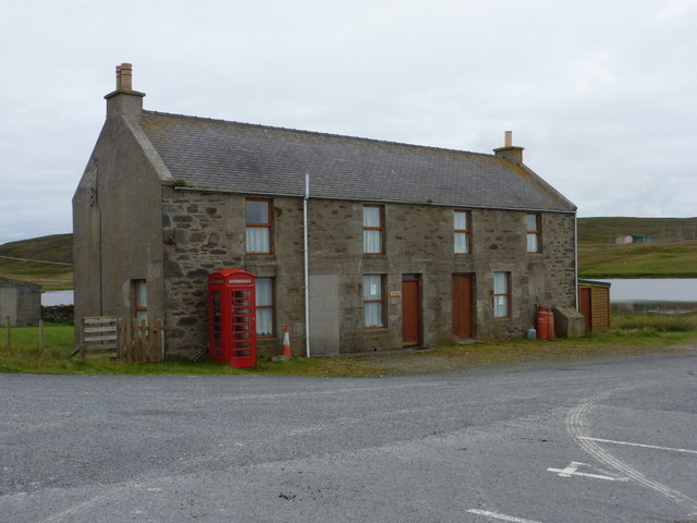
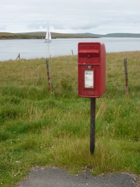
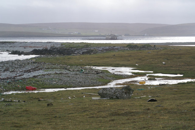
Kirkatafts Images

Images are sourced within 2km of 60.667596/-0.97863989 or Grid Reference HU5598. Thanks to Geograph Open Source API. All images are credited.

Killer Whales (Orcinus orca) passing Gutcher Taken from Belmont on Unst.
Killer Whales (Orcinus orca) passing Gutcher
Taken from Belmont on Unst.
MV Merete Chris at Gutcher quarry The Danish-registered ship, which is apparently a suction dredger, taking on rocks from the Gutcher quarry, using a grab on a crane on a vehicle which has been placed on the deck. There is not quay or pier here, the ship has just come as close inshore as it can.
MV Merete Chris at Gutcher quarry
The Danish-registered ship, which is apparently a suction dredger, taking on rocks from the Gutcher quarry, using a grab on a crane on a vehicle which has been placed on the deck. There is not quay or pier here, the ship has just come as close inshore as it can.
Loch of Heogland and Gallow Hill
Ferncliff House, Gutcher
Gutcher pier, Yell Gutcher ferry terminal, from where the ferry connecting Yell with Unst operates. The Head of Gutcher lies across the Wick of Gutcher. Yell, Shetland
Gutcher pier, Yell
Gutcher ferry terminal, from where the ferry connecting Yell with Unst operates. The Head of Gutcher lies across the Wick of Gutcher. Yell, Shetland
Tidal turbines awaiting installation, Belmont
Hoga Ness Brough, Belmont, from the sea
Smithfield, Gutcher The Loch of Gutcher is behind, with a view across Bluemull Sound to Unst.
Smithfield, Gutcher
The Loch of Gutcher is behind, with a view across Bluemull Sound to Unst.
MV Bigga at Gutcher The Bluemull Sound ferry awaiting its departure.
MV Bigga at Gutcher
The Bluemull Sound ferry awaiting its departure.
Fishing vessel passing the Head of Gutcher A fishing boat, LK 75 Venturous, heading south through Bluemull Sound.
Fishing vessel passing the Head of Gutcher
A fishing boat, LK 75 Venturous, heading south through Bluemull Sound.
Ferry departing Gutcher for Fetlar
Wick of Gutcher
Wick of Gutcher
Gutcher: the old post office The telephone box is a clue but not definite proof that this was once a post office - but it was; see <a href="https://www.geograph.org.uk/photo/628286">HU5499 : Gutcher</a>. The postbox has been moved across the road since the closure of the post office in 2006 (see <a href="https://www.geograph.org.uk/photo/2632515">HU5499 : Gutcher: postbox № ZE2 95</a>).
Gutcher: the old post office
The telephone box is a clue but not definite proof that this was once a post office - but it was; see HU5499 : Gutcher. The postbox has been moved across the road since the closure of the post office in 2006 (see HU5499 : Gutcher: postbox № ZE2 95).
Gutcher: postbox № ZE2 95 This postbox has been moved across the road from <a href="https://www.geograph.org.uk/photo/2632507">HU5499 : Gutcher: the old post office</a> since the closure of the post office. It is emptied at 9:45am daily except Sunday.

See <a href="https://www.geograph.org.uk/photo/628286">HU5499 : Gutcher</a> for a picture of the operational post office with the postbox outside.
Gutcher: postbox № ZE2 95
This postbox has been moved across the road from HU5499 : Gutcher: the old post office since the closure of the post office. It is emptied at 9:45am daily except Sunday. See HU5499 : Gutcher for a picture of the operational post office with the postbox outside.
Gutcher: the B9081 heads towards Cullivoe Looking north from the main A968 at Gutcher, towards Cullivoe along the B9081. The cliffs in the distance belong to the southwest coast of Unst.
Gutcher: the B9081 heads towards Cullivoe
Looking north from the main A968 at Gutcher, towards Cullivoe along the B9081. The cliffs in the distance belong to the southwest coast of Unst.
Narrow strip of land between Loch of Heogland and the sea Looking across towards Yell.
Narrow strip of land between Loch of Heogland and the sea
Looking across towards Yell.
Burns of Gutcher The burn flowing north from near the A road, just before its confluence with the burn flowing south.
Burns of Gutcher
The burn flowing north from near the A road, just before its confluence with the burn flowing south.
Ferries at Gutcher MV Bigga and MV Geira exchanging positions at Gutcher ferry terminal on Yell. In the background is Unst, with the headland of Blue Mull and the ridge of Valla Field.
Ferries at Gutcher
MV Bigga and MV Geira exchanging positions at Gutcher ferry terminal on Yell. In the background is Unst, with the headland of Blue Mull and the ridge of Valla Field.
Show me another place!

Kirkatafts is located at Grid Ref: HU5598 (Lat: 60.667596, Lng: -0.97863989)

Unitary Authority: Shetland Islands

Police Authority: Highlands and Islands

What 3 Words

///inflating.violin.flap. Near Gutcher, Shetland Islands

Related Wikis

Linga, Bluemull Sound

Linga is a very small uninhabited island in the Bluemull Sound, Shetland, Scotland. It is one of many islands in Shetland called Linga. It has an area...
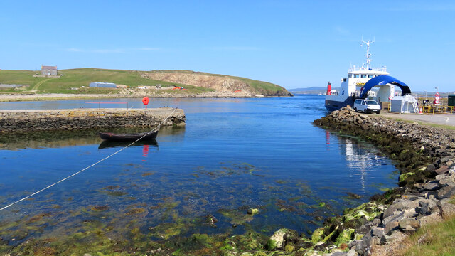
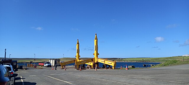
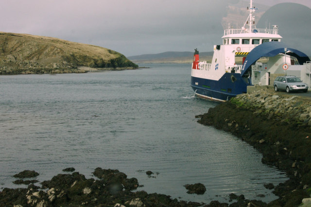
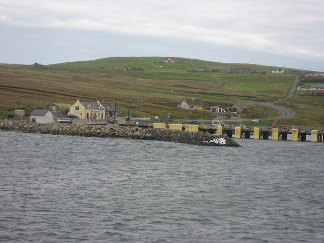
Gutcher

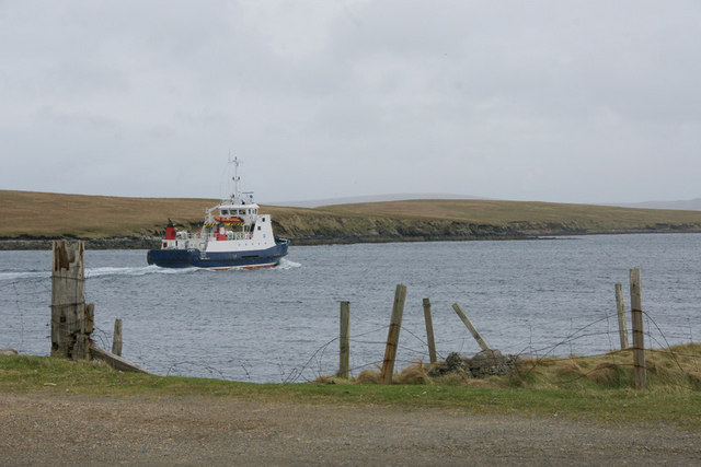
Gutcher is a settlement on the northeast coast of Yell in the Shetland islands. From here, rollon/roll off ferry services to Belmont on Unst and Hamars...

North Isles

The North Isles are the northern islands of the Shetland Islands, Scotland. The main islands in the group are Yell, Unst and Fetlar. Sometimes the islands...

Bluemull Sound

Bluemull Sound is the strait between Unst and Yell in Shetland's North Isles. A ferry service crosses it regularly. Cullivoe is on the Yell side, and the...

Belmont, Shetland

Belmont is a settlement and ferry terminal in southern Unst in the Shetland Islands. The ferry crosses from here to Gutcher in Yell and to Hamars Ness...

Belmont House, Shetland

Belmont House is a neo classical Georgian Country House Estate on the island of Unst, the most northerly of the Shetland Islands, [United Kingdom] and...

Burra Ness Broch

Burra Ness Broch is an iron-age broch located on the east coast of the island of Yell, Shetland, Scotland. == Location == Burra Ness Broch (grid reference...

Sound Gruney

For other islands with similar names, see Gruney (disambiguation) Sound Gruney is one of the Shetland islands. It lies about 1.5 kilometres (0.93 mi)...

Have you been to Kirkatafts?

Leave your review of Kirkatafts below (or comments, questions and feedback).