Birka Lees

Cliff, Slope in Shetland

Scotland

Birka Lees

Whale Firth I am at The Herra (Da Herra), a sheep farming community on the western side of Yell, Shetland, and looking up Whale Firth.
Whale Firth Credit: Carroll Pierce

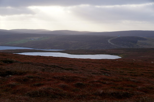
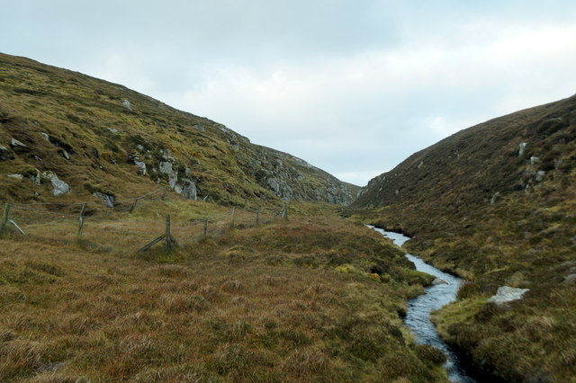
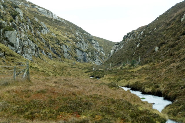
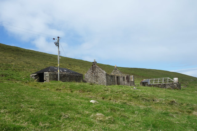
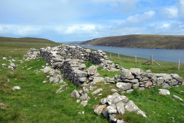
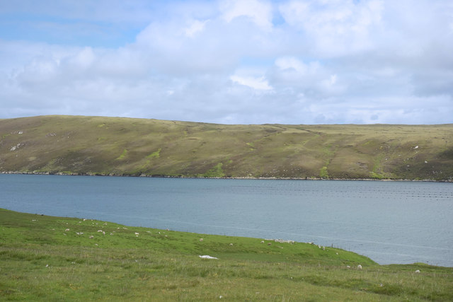
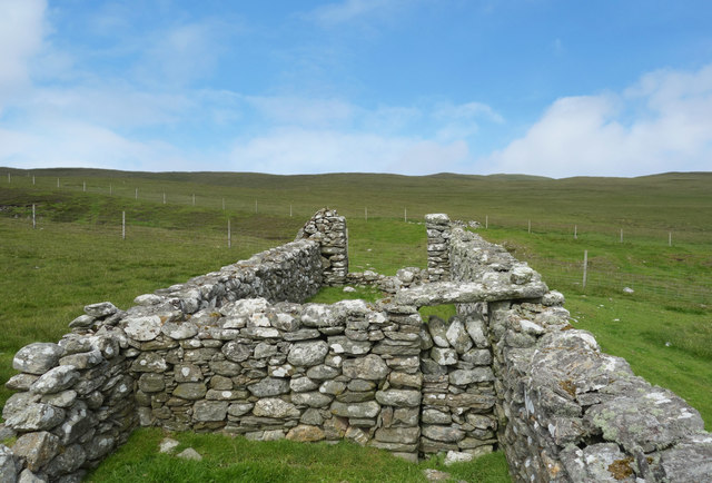
Birka Lees is a prominent cliff and slope located in Shetland, Scotland. Situated on the southwestern coast of the main island, its steep and rugged terrain offers stunning views of the surrounding coastal landscape.

The cliff face of Birka Lees stands tall, reaching heights of up to 200 feet, making it an impressive sight for visitors and locals alike. The layers of sedimentary rock that make up the cliff reveal the geological history of the region, providing a glimpse into the ancient past. Over time, erosion has shaped the cliff, creating unique formations and adding to its distinctive character.

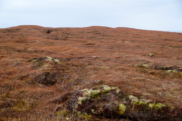
Adjacent to the cliff is a sloping area that gradually descends towards the shoreline. This slope is covered in a variety of vegetation, including grasses, heather, and wildflowers, lending a vibrant and colorful backdrop to the rugged cliff face. The combination of the cliff and slope creates a dynamic landscape, attracting nature enthusiasts, hikers, and photographers.

Birka Lees is not only visually captivating but also serves as an important habitat for various bird species. It is a popular spot for birdwatching, as the cliff provides nesting sites for seabirds such as puffins, guillemots, and razorbills. The surrounding waters are also home to seals, dolphins, and numerous fish species, further enhancing the area's biodiversity.

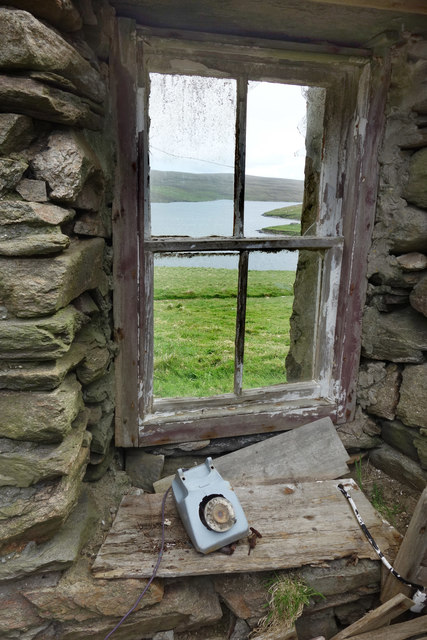
Due to its natural beauty and ecological significance, Birka Lees is often visited by tourists and nature lovers seeking to immerse themselves in the stunning scenery and abundant wildlife. Whether exploring the cliff, hiking along the slope, or observing the diverse birdlife, Birka Lees offers a captivating and enriching experience for all who visit.

If you have any feedback on the listing, please let us know in the comments section below.

Birka Lees Images

Images are sourced within 2km of 60.639224/-1.1538829 or Grid Reference HU4695. Thanks to Geograph Open Source API. All images are credited.

Whale Firth I am at The Herra (Da Herra), a sheep farming community on the western side of Yell, Shetland, and looking up Whale Firth.
Whale Firth
I am at The Herra (Da Herra), a sheep farming community on the western side of Yell, Shetland, and looking up Whale Firth.
Virdi Field and Virdi Water, Graveland peninsula
Loch of Vollister The Herra Hall in the background.
Loch of Vollister
The Herra Hall in the background.
Moorland north of Loch of Vollister Looking across to the Loch of Graveland.
Moorland north of Loch of Vollister
Looking across to the Loch of Graveland.
Moorland south of Lumbister
Moorland in the wilds of Yell A square with no named features on the 1:25000 map, between Vollister and Lumbister.
Moorland in the wilds of Yell
A square with no named features on the 1:25000 map, between Vollister and Lumbister.
Dale of Lumbister
Dale of Lumbister
Dale of Lumbister
Dale of Lumbister
North Grommond, Grimister There is a line of deserted crofts along the side of the valley. Some of the dereliction can be blamed on 19th century landlords, but others kept going a lot longer before finally calling it a day.
This place for example lived to see the arrival of mains electricity.
North Grommond, Grimister
There is a line of deserted crofts along the side of the valley. Some of the dereliction can be blamed on 19th century landlords, but others kept going a lot longer before finally calling it a day. This place for example lived to see the arrival of mains electricity.
Telephone at North Grommond Unlike many of the deserted houses which are now just bare stone walls and empty doorways, this place still contains all sorts of abandoned domestic items and must have been occupied well within living memory.
Telephone at North Grommond
Unlike many of the deserted houses which are now just bare stone walls and empty doorways, this place still contains all sorts of abandoned domestic items and must have been occupied well within living memory.
In the Kitchen at North Grommond What a view, but I guess views don't pay their way. North Grommond has followed its neighbours into ruin, although at a later date than some of the other deserted places along here.
In the Kitchen at North Grommond
What a view, but I guess views don't pay their way. North Grommond has followed its neighbours into ruin, although at a later date than some of the other deserted places along here.
Loch of Graveland
Loch of Graveland
The Remains of North Grommond Unlike many of the deserted houses which are now just bare stone walls and empty doorways, this place still contains all sorts of abandoned domestic items and must have been occupied well within living memory. There was mains electricity. The cables are still in place.
The Remains of North Grommond
Unlike many of the deserted houses which are now just bare stone walls and empty doorways, this place still contains all sorts of abandoned domestic items and must have been occupied well within living memory. There was mains electricity. The cables are still in place.
Daalaskeo, beside Whale Firth This is the most northerly of a line of ruined crofts along the western side of Whale Firth.
Daalaskeo, beside Whale Firth
This is the most northerly of a line of ruined crofts along the western side of Whale Firth.
View over Whale Firth Taken from the deserted croft at Daalaskeo over to the bleak eastern side of Whale Firth. The western side of the firth is not so steep and formerly supported a crofting community. It still has a well fenced field system for sheep grazing. By contrast, the eastern side is moorland.
View over Whale Firth
Taken from the deserted croft at Daalaskeo over to the bleak eastern side of Whale Firth. The western side of the firth is not so steep and formerly supported a crofting community. It still has a well fenced field system for sheep grazing. By contrast, the eastern side is moorland.
Corner Wall at Graveland One of a line of ruined crofts along the west side of Whale Firth. The corner here must have been especially well built to stay standing.
Corner Wall at Graveland
One of a line of ruined crofts along the west side of Whale Firth. The corner here must have been especially well built to stay standing.
Blocked Doorway at Graveland Interior detail at the ruined croft of Graveland.
Blocked Doorway at Graveland
Interior detail at the ruined croft of Graveland.
Show me another place!

Birka Lees is located at Grid Ref: HU4695 (Lat: 60.639224, Lng: -1.1538829)

Unitary Authority: Shetland Islands

Police Authority: Highlands and Islands

What 3 Words

///unless.carting.skinning. Near Gutcher, Shetland Islands

Related Wikis

Ern Stack

Ern Stack is a sea stack off Yell, in Shetland, Scotland. The word "ern" means an eagle (it is a cognate of, for example, Swedish "örn"), and it is said...

Yell, Shetland

Yell is one of the North Isles of Shetland, Scotland. In the 2011 census it had a usually resident population of 966. It is the second largest island in...

Basta, Shetland

Basta is a hamlet on the island of Yell in the Shetland islands of Scotland. It is on the shores of Basta Voe and is in the parish of Yell. == References... ==

Mid Yell

Mid Yell is a coastal settlement on the island of Yell, the second largest of Shetland Islands, Scotland. Mid Yell, the largest settlement on the island...

Have you been to Birka Lees?

Leave your review of Birka Lees below (or comments, questions and feedback).