Banks of the Lees
Cliff, Slope in Shetland
Scotland
Banks of the Lees
The Banks of the Lees is a prominent geological feature located in Shetland, an archipelago in Scotland. It is a cliff or slope formation that stretches along the coastline of the Lees area.
The Banks of the Lees are composed of layers of sedimentary rocks, primarily sandstone and shale. These rocks were formed over millions of years through the accumulation of sand and mud in ancient marine environments. The layers of sediment have since been uplifted and exposed due to geological processes, creating the distinct cliff or slope structure visible today.
The cliffs or slopes of the Banks of the Lees exhibit stunning natural beauty, with their rugged and dramatic appearance. The layers of sedimentary rocks are often highly folded and contorted, showcasing the immense pressure and forces that shaped the area. The colors of the rocks vary, ranging from shades of red and brown to gray and beige, adding to the visual appeal.
The Banks of the Lees also serve as an important habitat for various bird species. Cliff-nesting birds such as fulmars, kittiwakes, and guillemots can be spotted nesting in the crevices and ledges of the cliffs. The area is also home to a diverse range of marine life, including seals, otters, and various fish species.
Visitors to the Banks of the Lees can enjoy breathtaking views of the coastline and the North Sea. The site is popular among nature enthusiasts, hikers, and geology enthusiasts who are fascinated by the unique geological formations and the ecological diversity of the area.
If you have any feedback on the listing, please let us know in the comments section below.
Banks of the Lees Images
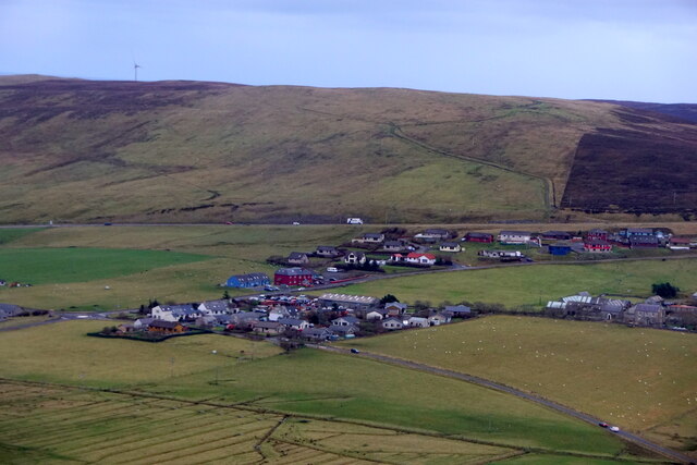
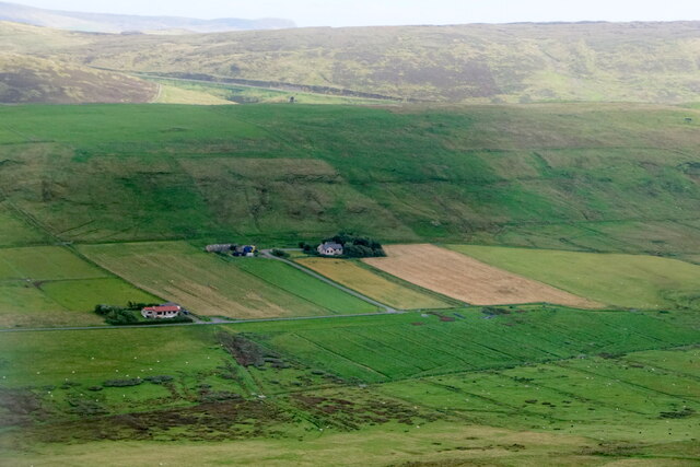
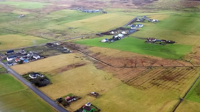
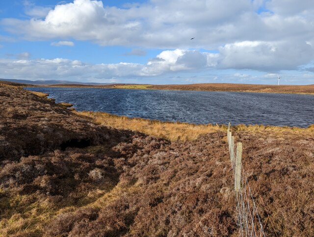
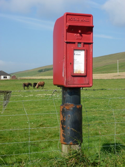
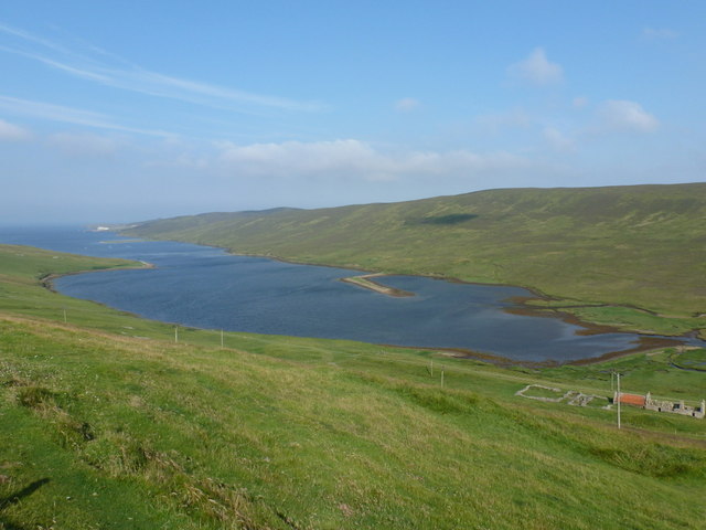
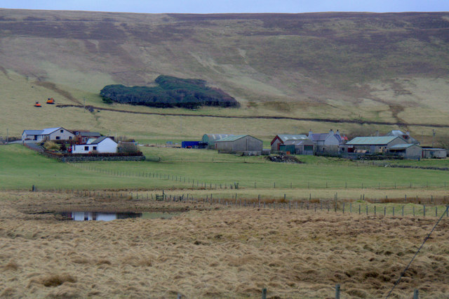
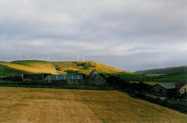
Images are sourced within 2km of 60.178966/-1.2006626 or Grid Reference HU4444. Thanks to Geograph Open Source API. All images are credited.


Banks of the Lees is located at Grid Ref: HU4444 (Lat: 60.178966, Lng: -1.2006626)
Unitary Authority: Shetland Islands
Police Authority: Highlands and Islands
What 3 Words
///improving.amplified.blast. Near Lerwick, Shetland Islands
Nearby Locations
Related Wikis

Veensgarth
Veensgarth (Old Norse: Vikingsgarðr, Viking farm, or Vingarðr, Meadow Farm), is a village in the Tingwall valley west of Lerwick on Mainland in Shetland...
Tingwall, Shetland
Tingwall, (Old Norse: Þingvǫllr = Field of the Thing assembly) is a parish in Shetland, Scotland. Located mostly on the Shetland Mainland, the centre lies...
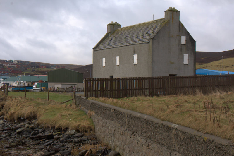
Böd of Gremista
The Böd of Gremista, situated at the north end of Lerwick, Shetland, Scotland, is a typical 18th century Shetland fishing booth (or böd). It is protected...
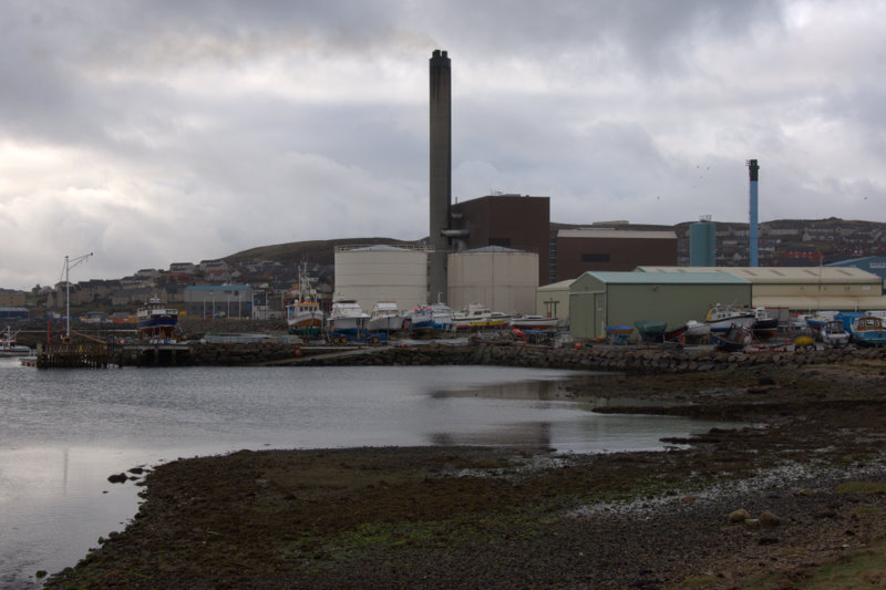
Lerwick Power Station
The main power supply for Shetland is provided by Lerwick Power Station, located in Gremista, 2 kilometres (1.2 mi) northwest of Lerwick town centre. This...
Have you been to Banks of the Lees?
Leave your review of Banks of the Lees below (or comments, questions and feedback).