Foglabanks
Cliff, Slope in Shetland
Scotland
Foglabanks
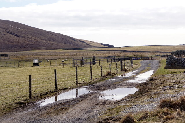
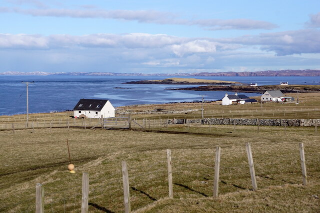
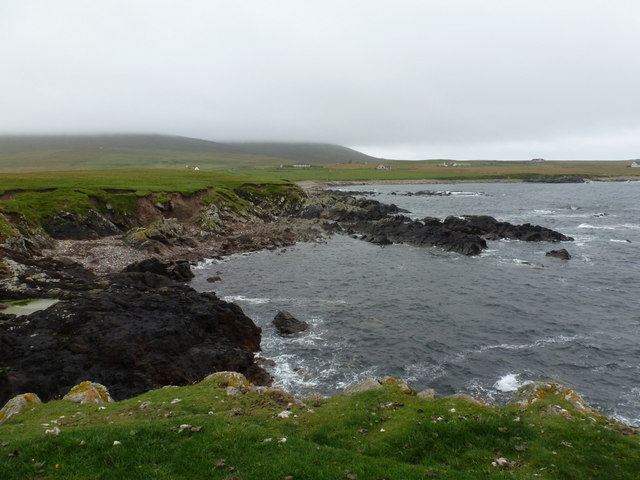
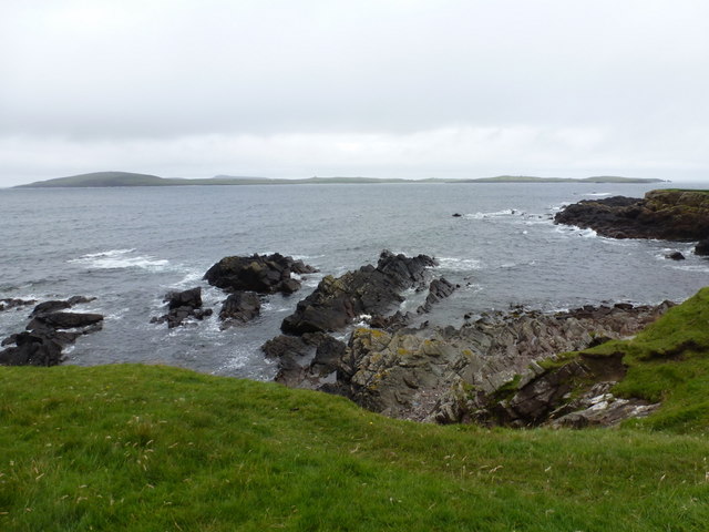
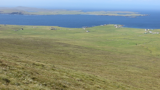
Foglabanks is a prominent cliff and slope located in the Shetland Islands, an archipelago in Scotland. Situated on the western coast of the main island, it is a distinctive geological feature within the region.
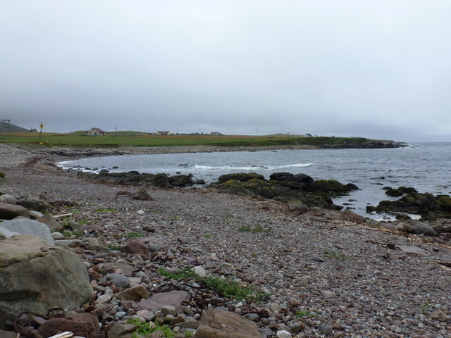
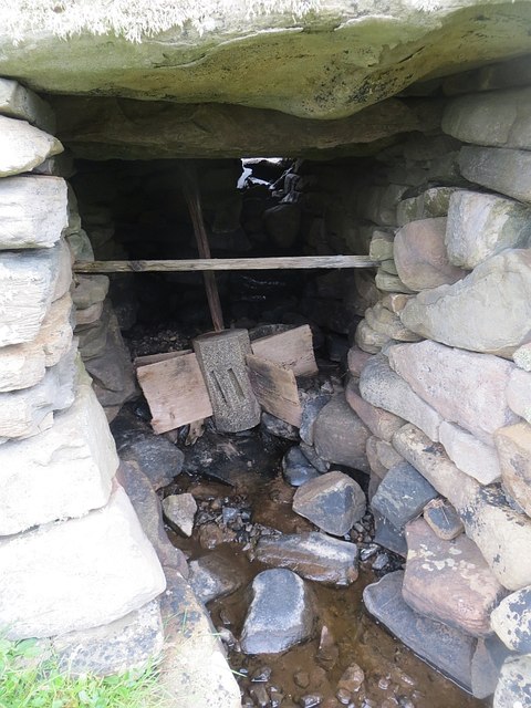
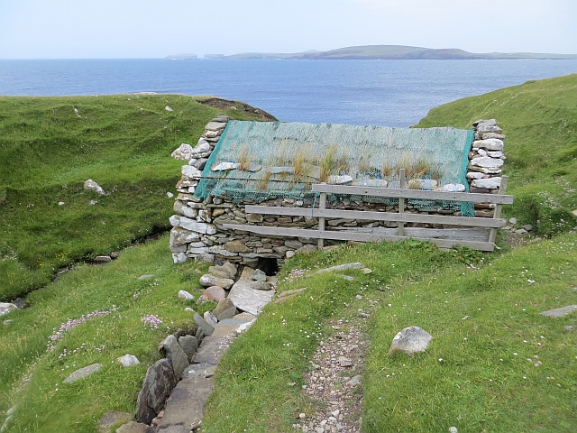
The cliff face of Foglabanks rises steeply from the North Atlantic Ocean, reaching heights of approximately 50 meters (164 feet). Composed mainly of rugged sandstone, the cliff showcases stunning layers of sedimentary rock, providing valuable insight into the island's geological history. The layers reveal the gradual deposition of sediment over millions of years, reflecting the changing environmental conditions that have shaped the area.
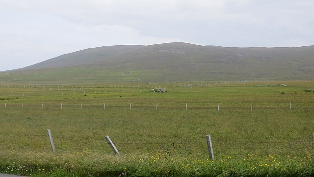
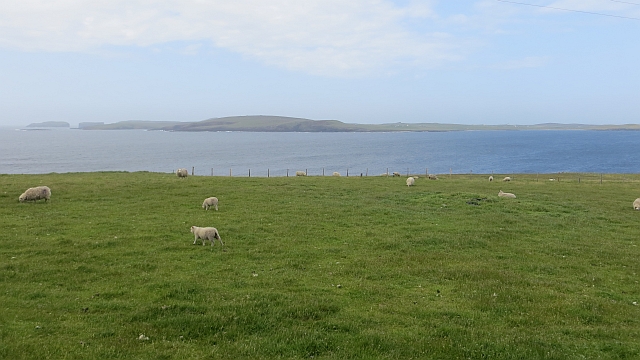
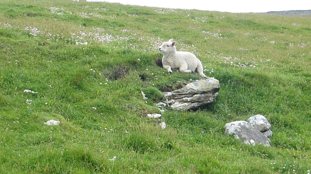
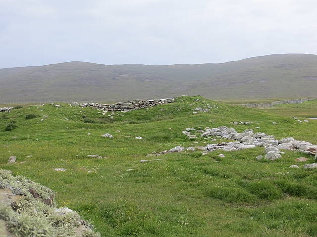
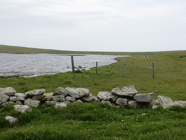
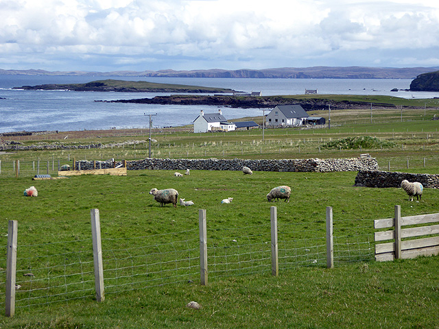
The slope of Foglabanks begins at the base of the cliff and extends inland, forming a gentle gradient. This sloping terrain is covered with a mixture of grasses, heather, and low-lying shrubs, typical of the Shetland landscape. The soil composition on the slope is primarily sandy, allowing for good drainage and supporting a diverse range of vegetation.
Foglabanks is a popular destination for both locals and tourists who enjoy outdoor activities such as hiking, birdwatching, and photography. The cliff offers breathtaking panoramic views of the surrounding coastline and the vast expanse of the Atlantic Ocean. The slope provides a tranquil environment for nature enthusiasts to explore the unique flora and fauna that inhabit the area.
Overall, Foglabanks in Shetland is a remarkable geological formation, showcasing the rugged beauty of the island's landscape. Its cliff and slope offer visitors a chance to appreciate the forces of nature that have shaped this remote and captivating part of Scotland.
If you have any feedback on the listing, please let us know in the comments section below.
Foglabanks Images
Images are sourced within 2km of 60.294257/-1.6958802 or Grid Reference HU1656. Thanks to Geograph Open Source API. All images are credited.


Foglabanks is located at Grid Ref: HU1656 (Lat: 60.294257, Lng: -1.6958802)
Unitary Authority: Shetland Islands
Police Authority: Highlands and Islands
What 3 Words
///kneeled.clutches.ballooned. Near Walls, Shetland Islands
Nearby Locations
Related Wikis

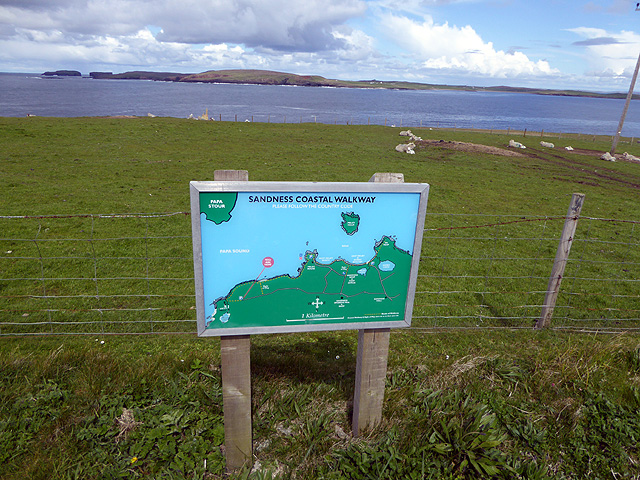
Sandness
Sandness (the "d" is not pronounced locally) is a headland and district in the west of Shetland Mainland, Scotland. Sandness was a civil parish, which...

Papa Stour Airstrip
Papa Stour Airstrip is a small airstrip in the village of Biggings on the island of Papa Stour. Shetland, Scotland. == History == Papa Stour Airstrip opened...

Forewick Holm
Forewick Holm is a 1-hectare (2.5-acre) island in the Sound of Papa in the Shetland islands, Scotland. Located between Papa Stour and the Sandness peninsula...

Biggings
Biggings is a village on the island of Papa Stour, in Shetland, Scotland. Papa Stour's church is situated at the south of Biggings. A homestead of Duke...
Brei Holm
Brei Holm is a tiny tidal islet in the western Shetland Islands. It is due east of Papa Stour, to which it is connected at low tide, just outside Housa...
Papa Stour
Papa Stour (Scots: Papa Stour) is one of the Shetland Islands in Scotland, with a population of under fifteen people, some of whom immigrated after an...
Maiden Stack
The Maiden Stack or Frau Stack is a tiny stack in the western Shetland Islands to the north of Brei Holm and east of Housa Voe in Papa Stour. It is so...

Bousta
Bousta is a settlement on Mainland, in Shetland, Scotland. Bousta is situated in the parish of Walls and Sandness.Scott's Hawkweed is native to the pastures...
Have you been to Foglabanks?
Leave your review of Foglabanks below (or comments, questions and feedback).