Ravens Tor

Cliff, Slope in Staffordshire Staffordshire Moorlands

England

Ravens Tor

The start of a footpath to Alstonefield A narrow flight of steps leads off a narrow back lane at the start of a footpath, which climbs steeply out of Milldale towards Alstonefield.
The start of a footpath to Alstonefield Credit: Ian Calderwood

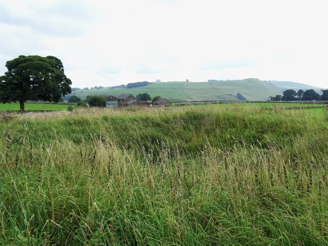
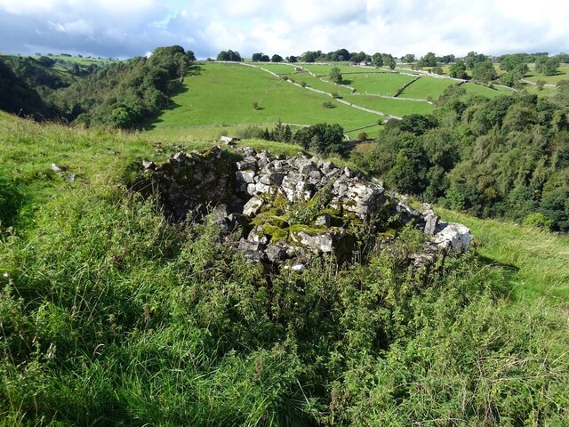
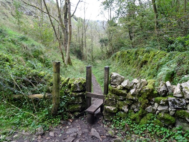
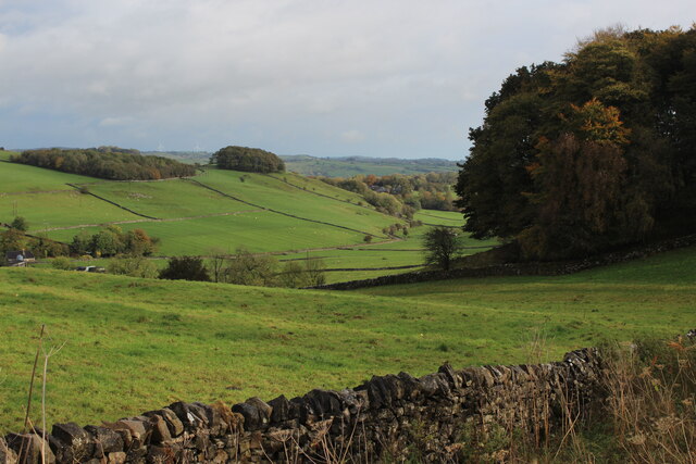
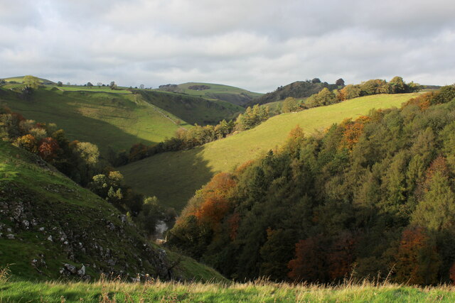
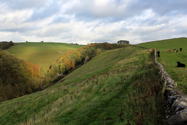
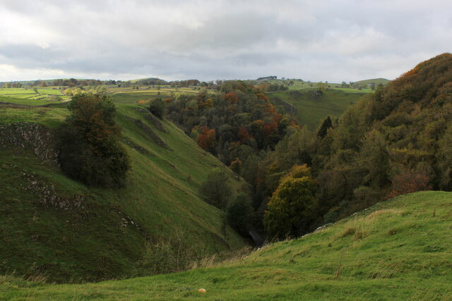
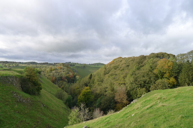
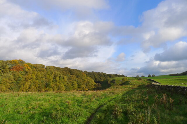
Ravens Tor is a prominent cliff formation located in Staffordshire, England. This natural feature is situated near the village of Ilam and overlooks the picturesque valley of the River Manifold. The tor is characterized by its steep slope and towering limestone cliffs, which provide a stunning backdrop to the surrounding landscape.

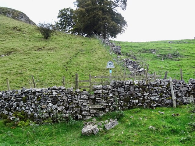
Ravens Tor is a popular destination for hikers, climbers, and nature enthusiasts. The tor offers a variety of climbing routes, catering to both novice and experienced climbers. The challenging ascent to the summit provides panoramic views of the Staffordshire countryside, making it a favorite spot for photographers and sightseers.

The site is also known for its diverse flora and fauna. The cliffs provide a habitat for various bird species, including ravens, peregrine falcons, and kestrels. Rare plants such as the rock whitebeam can be found clinging to the limestone crags, adding to the tor's ecological significance.

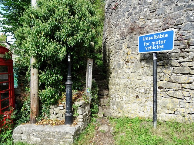
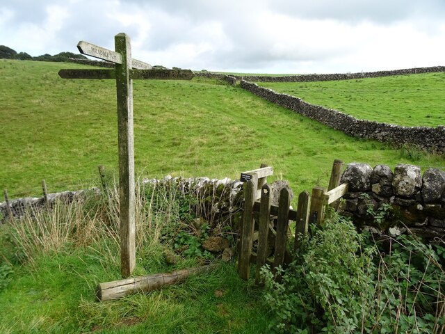
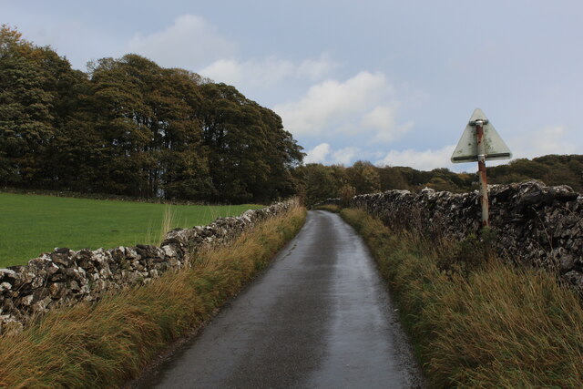
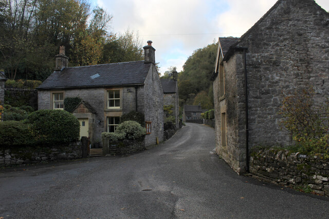
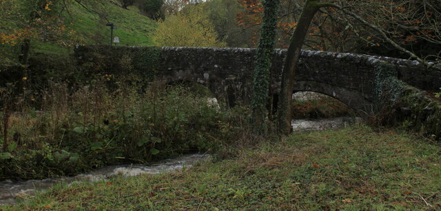
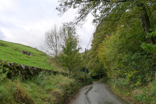
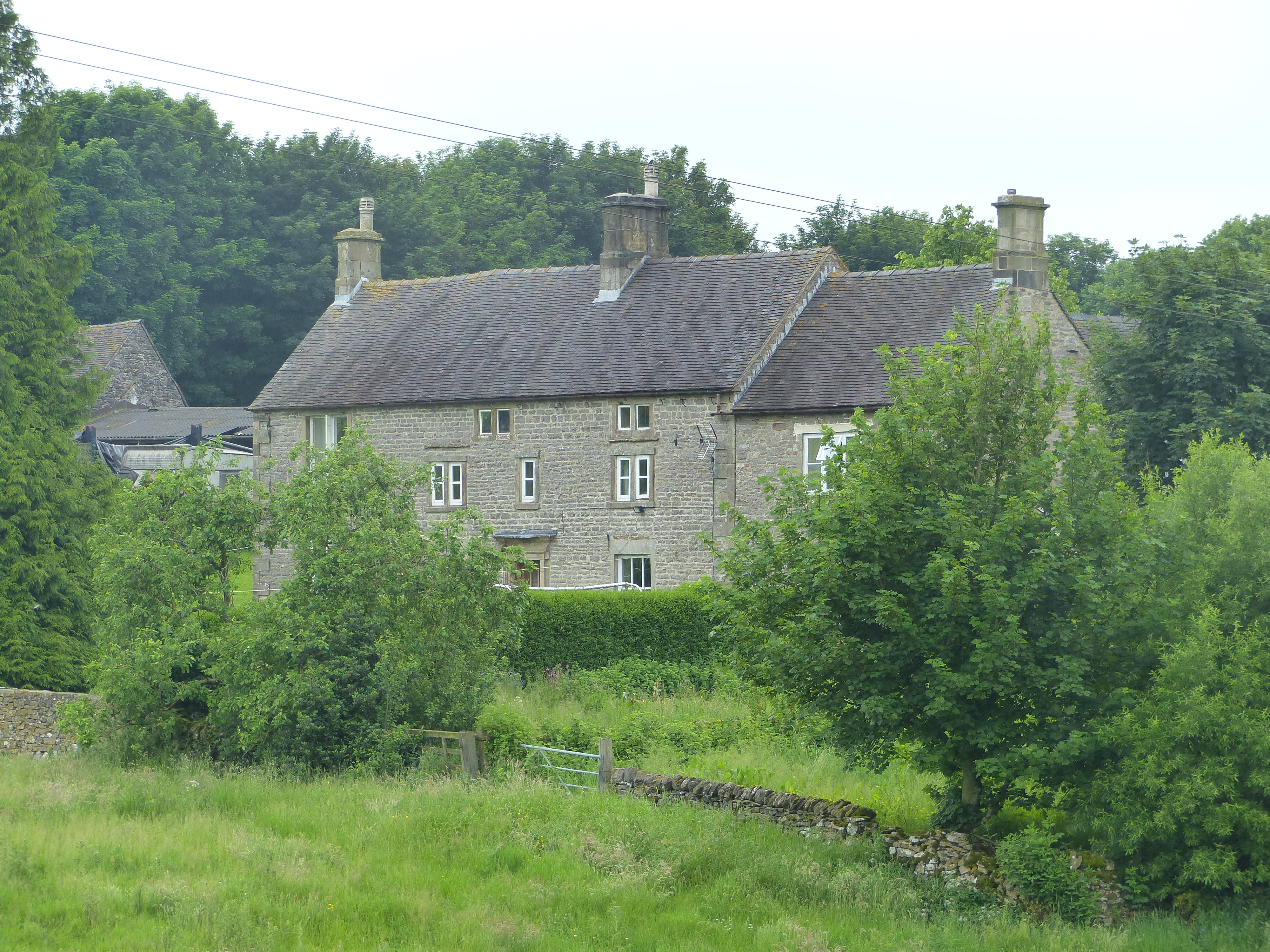
Visitors to Ravens Tor can access the site through a well-marked trail, which starts from the village of Ilam. The tor is situated within the Peak District National Park, offering visitors the opportunity to explore the surrounding area, including nearby walking trails and historic landmarks.

Overall, Ravens Tor in Staffordshire is a remarkable natural formation, offering a combination of scenic beauty, outdoor activities, and ecological importance. Whether it's climbing the cliffs, enjoying the panoramic views, or immersing oneself in the natural surroundings, Ravens Tor provides a captivating experience for all who visit.

If you have any feedback on the listing, please let us know in the comments section below.

Ravens Tor Images

Images are sourced within 2km of 53.081518/-1.7908852 or Grid Reference SK1453. Thanks to Geograph Open Source API. All images are credited.

The start of a footpath to Alstonefield A narrow flight of steps leads off a narrow back lane at the start of a footpath, which climbs steeply out of Milldale towards Alstonefield.
The start of a footpath to Alstonefield
A narrow flight of steps leads off a narrow back lane at the start of a footpath, which climbs steeply out of Milldale towards Alstonefield.
Old dew pond by Millway Lane A neglected dew pond sits dry, neglected and overgrown at the edge of Alstonefield.
Old dew pond by Millway Lane
A neglected dew pond sits dry, neglected and overgrown at the edge of Alstonefield.
A ruin above Mill Dale The remains of some kind of small building, pen or fold, marked on old OS maps as a plain, unlabelled rectangle.
A ruin above Mill Dale
The remains of some kind of small building, pen or fold, marked on old OS maps as a plain, unlabelled rectangle.
Footpath crossroads According to the finger post, this is where the footpath from Milldale to Alsop Station crosses the footpath from Lode Mill to Tissington.
Footpath crossroads
According to the finger post, this is where the footpath from Milldale to Alsop Station crosses the footpath from Lode Mill to Tissington.
Stile in Hall Dale
Stile in Hall Dale
Step stile and sign at Allen's Bank in Hall Dale
Footpath to Pasture Lane The footpath from Hall Dale enters Stanshope via Pasture Lane.
Footpath to Pasture Lane
The footpath from Hall Dale enters Stanshope via Pasture Lane.
Countryside near Alsop en le Dale As seen from the Tissington Trail beside Stonepit Plantation
Countryside near Alsop en le Dale
As seen from the Tissington Trail beside Stonepit Plantation
Oxclose Lane Climbing out of the trench of Dovedale towards the A515
Oxclose Lane
Climbing out of the trench of Dovedale towards the A515
View from Above Shining Tor Overlooks the deep trench that is Dovedale
View from Above Shining Tor
Overlooks the deep trench that is Dovedale
Footpath High above Milldale The public footpath follows the wall, with ground falling away sharply to the left towards Milldale
Footpath High above Milldale
The public footpath follows the wall, with ground falling away sharply to the left towards Milldale
Looking over Mill Dale
Milldale (1) Small village comprising several stone buildings, squeezed deep in the narrow valley of Dovedale - so narrow that sunshine finds difficulty in reaching the community.
Milldale (1)
Small village comprising several stone buildings, squeezed deep in the narrow valley of Dovedale - so narrow that sunshine finds difficulty in reaching the community.
Milldale (2) Delightful small village squeezed tightly between the valley sides of Dovedale - so tightly, that sunshine is at a premium.
A popular walk stretches south from here, running beside the River Dove to the stepping stones near Thorpe.
Milldale (2)
Delightful small village squeezed tightly between the valley sides of Dovedale - so tightly, that sunshine is at a premium. A popular walk stretches south from here, running beside the River Dove to the stepping stones near Thorpe.
Viator's Bridge Ancient packhorse bridge, which has been in use since medieval times. Izaak Walton wrote about this bridge in "The Compleat Angler" - referring to himself as Viator (Latin for traveller), which accounts for the structure's name.
Viator's Bridge
Ancient packhorse bridge, which has been in use since medieval times. Izaak Walton wrote about this bridge in "The Compleat Angler" - referring to himself as Viator (Latin for traveller), which accounts for the structure's name.
The road down to Mill Dale Aptly named 'The Pinch'
The road down to Mill Dale
Aptly named 'The Pinch'
Mill Dale
Mill Dale
The path above Mill Dale After a steep climb up from the village of Milldale, the path here is running east on more level ground towards the A515 and the Tissington Trail
The path above Mill Dale
After a steep climb up from the village of Milldale, the path here is running east on more level ground towards the A515 and the Tissington Trail
Show me another place!

Ravens Tor is located at Grid Ref: SK1453 (Lat: 53.081518, Lng: -1.7908852)

Administrative County: Staffordshire

District: Staffordshire Moorlands

Police Authority: Staffordshire

What 3 Words

///thundered.shelters.measuring. Near Newhaven, Derbyshire

Related Wikis

St Peter's Church, Alstonefield

The Church of St Peter in Alstonefield, Staffordshire Moorlands, England is a grade I listed Anglican parish church. The oldest parts are 12th century...

Alsop en le Dale railway station

Alsop en le Dale railway station was opened in 1899 near Alsop en le Dale and Alstonefield, villages in Derbyshire southeast of Buxton. It was on the...

Long Low, Wetton

Long Low is a Neolithic and Bronze Age site in the English county of Staffordshire. It is about 2 km SE of Wetton (grid reference SK122539).It consists...

Tissington Trail

The Tissington Trail is a bridleway, footpath and cycleway in Derbyshire, England, along part of the trackbed of the former railway line connecting Ashbourne...

Alstonefield

Alstonefield (alternative spelling: Alstonfield) is a village and civil parish in the Peak District National Park and the Staffordshire Moorlands district...

Newton Grange, Derbyshire

Newton Grange is a civil parish in the Derbyshire Dales district of central Derbyshire. For administrative purposes it shares a parish council with the...

St Michael and All Angels' Church, Alsop-en-le-Dale

St Michael and all Angels' Church, Alsop en le Dale is a Grade II listed parish church in the Church of England in Alsop en le Dale, Derbyshire. ��2�...

Alsop en le Dale

Alsop en le Dale is a village in Derbyshire, England about 5 miles (8.0 km) north of Ashbourne close to the Staffordshire border, and a mile from Dovedale...

Nearby Amenities

Located within 500m of 53.081518,-1.7908852
Dove Holes
Natural: cave_entrance
Note: small caves
Lat/Long: 53.0790091/-1.7885583
Barrier: stile
Foot: yes
Lat/Long: 53.0817249/-1.7848806
Barrier: stile
Foot: yes
Material: stone
Stile: squeezer
Lat/Long: 53.0779025/-1.7914126
Barrier: stile
Foot: yes
Material: stone
Source: survey;bing
Step Count: 2
Stile: stepover
Lat/Long: 53.0782897/-1.7950908
Barrier: stile
Foot: yes
Lat/Long: 53.0819853/-1.7897221
Stanshope Pasture
Place: locality
Source: OS_OpenData_StreetView
Lat/Long: 53.0832603/-1.7966419
Baley Hill
Natural: peak
Source: OS_OpenData_StreetView
Lat/Long: 53.0827092/-1.7852702
Ravens Tor
Natural: peak
Source: OS_OpenData_StreetView
Lat/Long: 53.0815714/-1.7916725
Barrier: stile
Material: wood
Source: survey;gps
Stile: stepover
Lat/Long: 53.0790631/-1.7856608
The data included in this document is from www.openstreetmap.org. The data is made available under ODbL.

Have you been to Ravens Tor?

Leave your review of Ravens Tor below (or comments, questions and feedback).