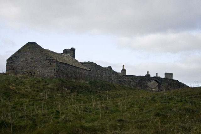
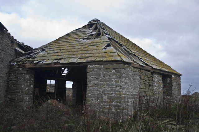
Kirk Banks

Cliff, Slope in Orkney

Scotland

Kirk Banks

Over Tresness, Isle of Sanday. The Bay of Newark is in the lower left of this aerial photograph, with Cata Sand and the Bay of Tresness on the other side of the spit of land.
Over Tresness, Isle of Sanday. Credit: Mark Crook

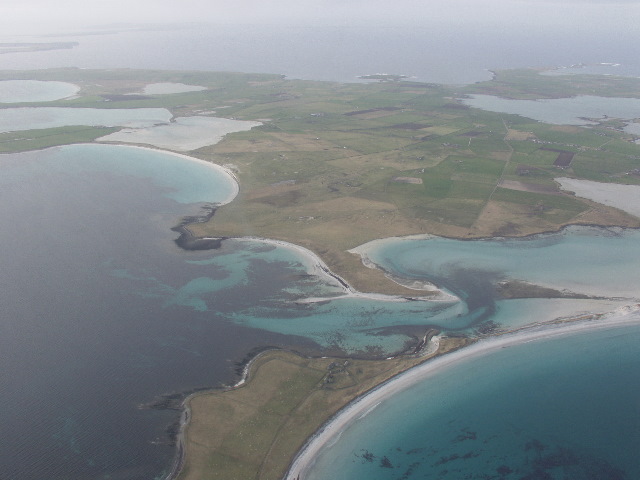
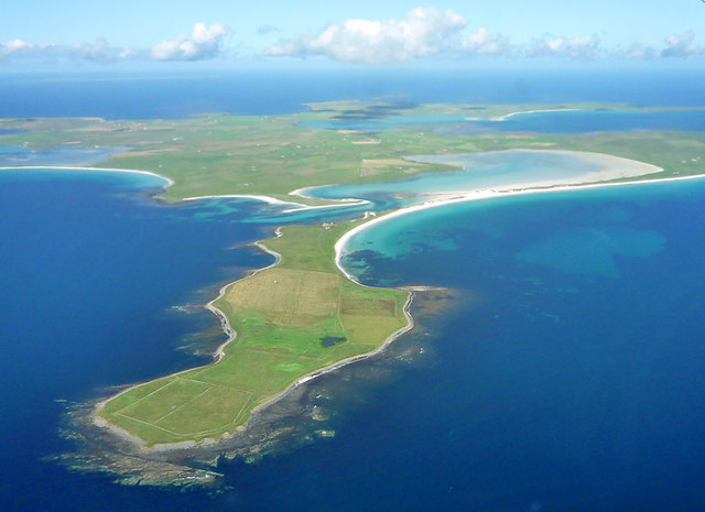
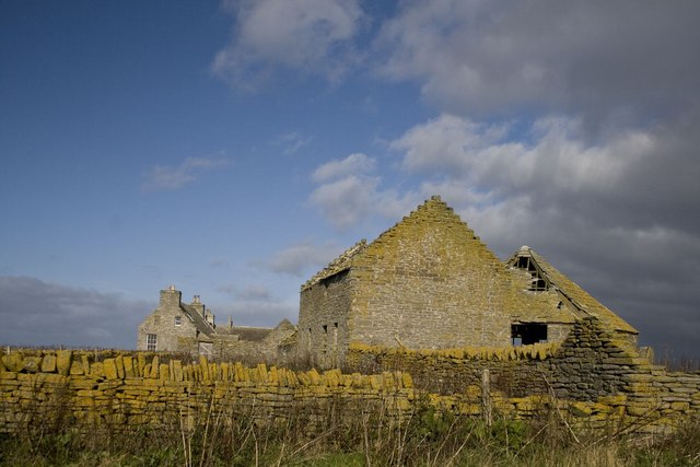
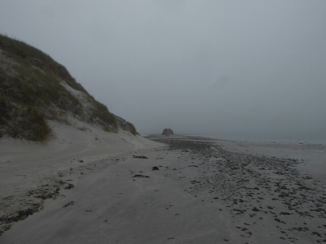
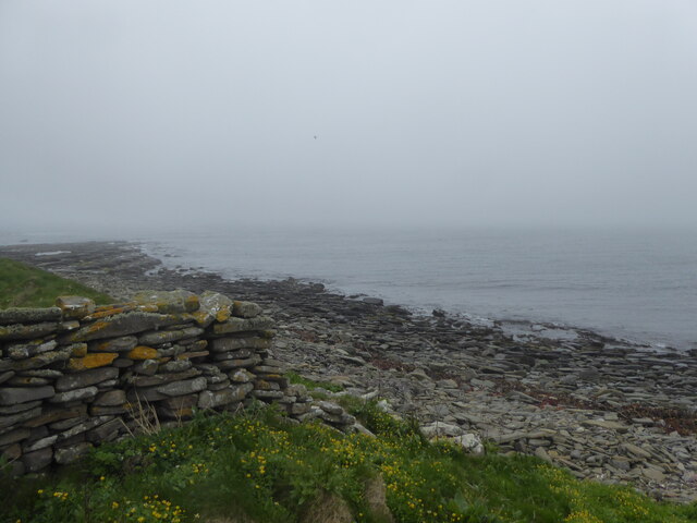
Kirk Banks, Orkney, is a picturesque cliff located on the island of Orkney, Scotland. It is situated on the eastern coast, offering breathtaking views of the North Sea. The cliff stands tall and impressive, measuring approximately 100 meters in height.

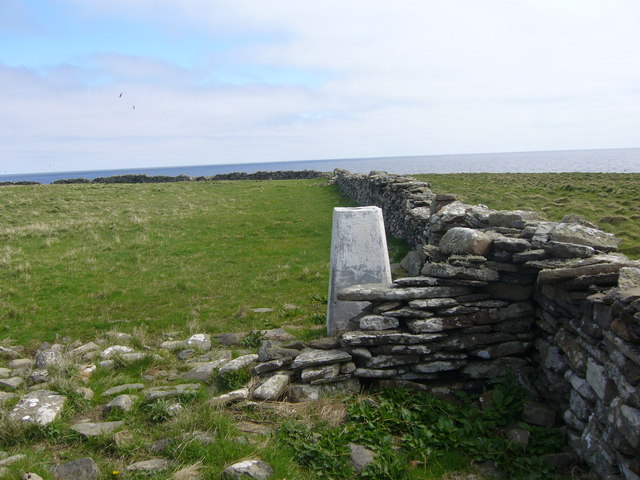
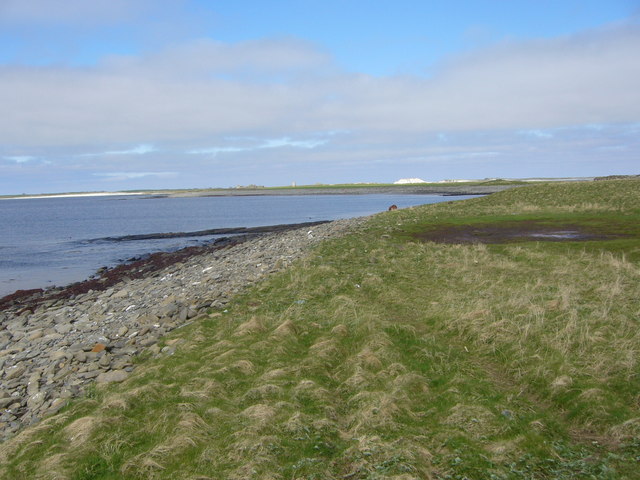
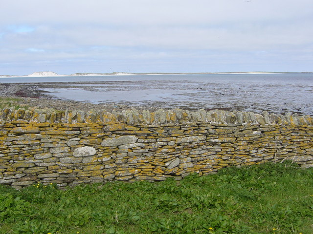
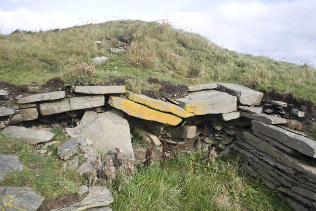
The rugged and dramatic landscape of Kirk Banks is characterized by steep slopes, sheer cliffs, and jagged rock formations. The cliff face is composed of layers of sandstone, giving it a unique and striking appearance. Over the years, erosion has sculpted the rock, creating distinctive shapes and patterns.

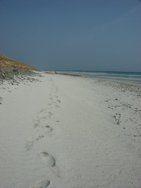
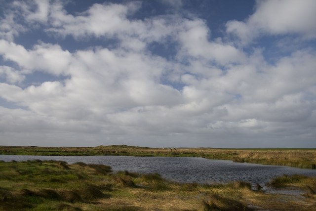
Kirk Banks is a popular destination for nature enthusiasts, hikers, and photographers. The cliff offers stunning vistas of the surrounding coastline and the vast expanse of the sea. Visitors can witness the power and beauty of the crashing waves against the rocks, providing a mesmerizing spectacle.

The area surrounding Kirk Banks is rich in biodiversity, with various seabirds nesting on the cliff ledges. These include species such as fulmars, guillemots, and puffins, making it a haven for birdwatchers. The vibrant green vegetation clinging to the cliff adds to its charm and provides a habitat for several plant species.

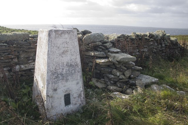
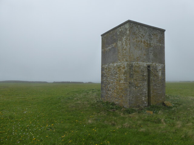
Access to Kirk Banks is relatively easy, with a well-maintained footpath leading to the cliff edge. However, caution is advised as the terrain can be steep and slippery. Visitors are advised to wear appropriate footwear and adhere to safety guidelines.

Overall, Kirk Banks, Orkney, is a natural wonder that showcases the raw beauty of Scotland's coastal landscape. Its stunning cliffs, breathtaking views, and diverse wildlife make it a must-visit destination for anyone exploring the Orkney Islands.

If you have any feedback on the listing, please let us know in the comments section below.
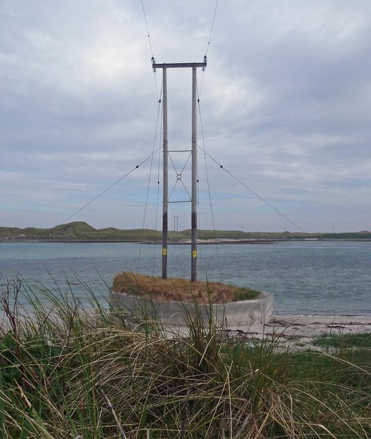
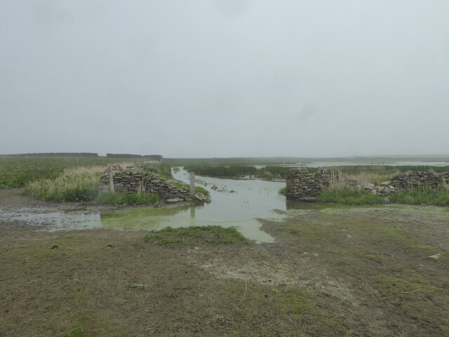
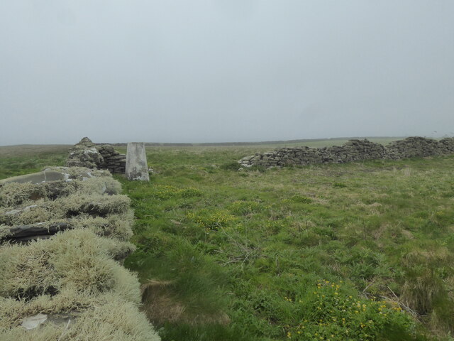
Kirk Banks Images

Images are sourced within 2km of 59.234343/-2.5228954 or Grid Reference HY7038. Thanks to Geograph Open Source API. All images are credited.

Over Tresness, Isle of Sanday. The Bay of Newark is in the lower left of this aerial photograph, with Cata Sand and the Bay of Tresness on the other side of the spit of land.
Over Tresness, Isle of Sanday.
The Bay of Newark is in the lower left of this aerial photograph, with Cata Sand and the Bay of Tresness on the other side of the spit of land.
Tres Ness trig on Sanday
Tres Ness on Sanday
Tres Ness on Sanday
Cruis Taing at Tres Ness on Sanday
Cata Sand Dunes and Beach Looking NNE along almost 3km of pristine sand. This is the seaward side of the Cata Sand dune complex.
Cata Sand Dunes and Beach
Looking NNE along almost 3km of pristine sand. This is the seaward side of the Cata Sand dune complex.
Aerial view of Tress Ness Sanday is laid out behind the promontory of Tress Ness. The sea is partially covering Cata Sand which is split by a narrow strip of land from the Bay of Newark. The view was taken from the morning flight from Kirkwall on the Mainland of Orkney to Sumburgh at the south tip of Mainland Shetland.
Aerial view of Tress Ness
Sanday is laid out behind the promontory of Tress Ness. The sea is partially covering Cata Sand which is split by a narrow strip of land from the Bay of Newark. The view was taken from the morning flight from Kirkwall on the Mainland of Orkney to Sumburgh at the south tip of Mainland Shetland.
Tresness, Sanday, Orkney There's supposed to be a visitor attraction here - The Engine House, but we couldn't find it!
Tresness, Sanday, Orkney
There's supposed to be a visitor attraction here - The Engine House, but we couldn't find it!
The Engine House, Tresness, Sanday, Orkney Orknet tourism page <span class="nowrap"><a title="http://www.orknet.co.uk/tourism/sanday.htm" rel="nofollow ugc noopener" href="http://www.orknet.co.uk/tourism/sanday.htm">Link</a><img style="margin-left:2px;" alt="External link" title="External link - shift click to open in new window" src="https://s1.geograph.org.uk/img/external.png" width="10" height="10"/></span> says "The old farm steading at Tressness has an octagonal roofed horse engine house. The horse powered device was used to turn a threshing machine in the barn next door." The octagonal roof is clearly visible on satellite photos. CANMORE (The Royal Commission on the Ancient and Historical Monuments of Scotland) <span class="nowrap"><a title="http://canmore.rcahms.gov.uk/en/site/3562/details/sanday+tresness+house/" rel="nofollow ugc noopener" href="http://canmore.rcahms.gov.uk/en/site/3562/details/sanday+tresness+house/">Link</a><img style="margin-left:2px;" alt="External link" title="External link - shift click to open in new window" src="https://s1.geograph.org.uk/img/external.png" width="10" height="10"/></span> has a site record with further details and more photos.
The Engine House, Tresness, Sanday, Orkney
Orknet tourism page LinkExternal link says "The old farm steading at Tressness has an octagonal roofed horse engine house. The horse powered device was used to turn a threshing machine in the barn next door." The octagonal roof is clearly visible on satellite photos. CANMORE (The Royal Commission on the Ancient and Historical Monuments of Scotland) LinkExternal link has a site record with further details and more photos.
Tresness, The Engine House, Sanday, Orkney We weren't exactly sure where the Engine House was, as we expected a visitor attraction, but the house was in a spectacular location, nevertheless.
Tresness, The Engine House, Sanday, Orkney
We weren't exactly sure where the Engine House was, as we expected a visitor attraction, but the house was in a spectacular location, nevertheless.
Lochan near Hangie Head, Sanday, Orkney Another wonderful Orkney name!
Lochan near Hangie Head, Sanday, Orkney
Another wonderful Orkney name!
Tresness Trig, Sanday, Orkney
Chambered Cairn, Tresness, Sanday, Orkney Had to perch precariously at the edge of the impressive 9 m high cliff to get this photo!
Chambered Cairn, Tresness, Sanday, Orkney
Had to perch precariously at the edge of the impressive 9 m high cliff to get this photo!
Power lines, Sanday, Orkney The photo shows the power lines crossing The Clogg to serve the properties on the Tres Ness peninsula.
Power lines, Sanday, Orkney
The photo shows the power lines crossing The Clogg to serve the properties on the Tres Ness peninsula.
Shoreline by Cata Sand, Sanday
Flooded track at Tresness, Sanday
Trig point at Tresness, Sanday
Wall by the shore at Tres Ness, Sanday
Old building at Tresness, Sanday This may have been a tank used to store water for the surrounding farm.
Old building at Tresness, Sanday
This may have been a tank used to store water for the surrounding farm.
Show me another place!

Kirk Banks is located at Grid Ref: HY7038 (Lat: 59.234343, Lng: -2.5228954)

Unitary Authority: Orkney Islands

Police Authority: Highlands and Islands

What 3 Words

///restore.thundered.store. Near Kettletoft, Orkney Islands

Related Wikis

Sanday, Orkney

Sanday (, Scots: Sandee) is one of the inhabited islands of Orkney that lies off the north coast of mainland Scotland. With an area of 50.43 km2 (19.5...

Sanday Airport

Sanday Airport (IATA: NDY, ICAO: EGES) is located 20 NM (37 km; 23 mi) north northeast of Kirkwall Airport on Sanday, Orkney Islands, Scotland. Sanday...

East Sanday Coast

The East Sanday Coast is a protected wetland area on and around the island of Sanday, the third-largest of the Orkney islands off the north coast of Scotland...

Kettletoft

Kettletoft is a settlement on the island of Sanday in Orkney, Scotland. The B9068 road runs from Kettletoft to Scar and the B9069 from Kettletoft to Northwall...

Nearby Amenities

Located within 500m of 59.234343,-2.5228954
Created By: almien_coastlines mod
Lat/Long: 59.234464/-2.523189
Created By: almien_coastlines mod
Lat/Long: 59.235356/-2.521928
Bay of Tresness
Natural: bay
Lat/Long: 59.2325824/-2.5292802
Power: pole
Lat/Long: 59.2350772/-2.5210728
Power: pole
Lat/Long: 59.2361345/-2.5207945
Power: pole
Lat/Long: 59.2373797/-2.522113
Power: pole
Lat/Long: 59.2381053/-2.5251149
Power: pole
Lat/Long: 59.2382186/-2.5268388
The data included in this document is from www.openstreetmap.org. The data is made available under ODbL.

Have you been to Kirk Banks?

Leave your review of Kirk Banks below (or comments, questions and feedback).