Sedbury Cliffs
Cliff, Slope in Gloucestershire Forest of Dean
England
Sedbury Cliffs
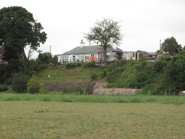
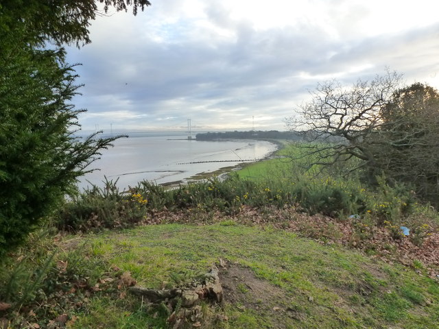
Sedbury Cliffs, located in Gloucestershire, England, is a prominent geological feature that stretches along the River Severn. These cliffs are situated on the western bank of the river, near the village of Sedbury. The cliffs are formed by the erosion of sedimentary rock layers and are composed primarily of red sandstone and shale.
Standing at an impressive height of around 60 meters (200 feet), Sedbury Cliffs offer breathtaking panoramic views of the surrounding areas. The cliffs exhibit a steep slope, creating a dramatic landscape that attracts both locals and tourists alike. The sheer face of the cliffs showcases the natural beauty of the region and provides a unique vantage point to observe the River Severn flowing below.
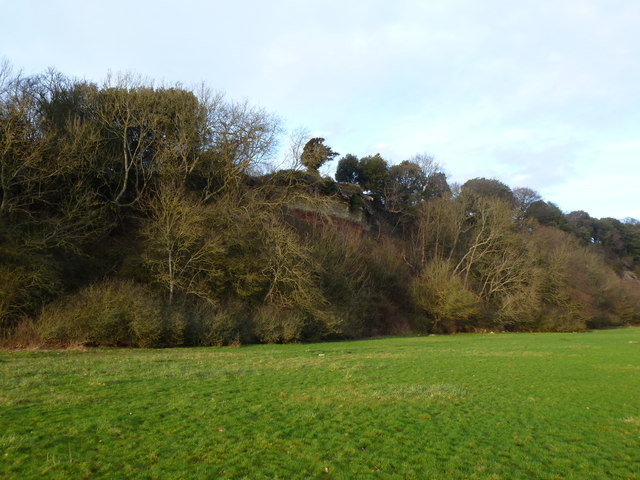
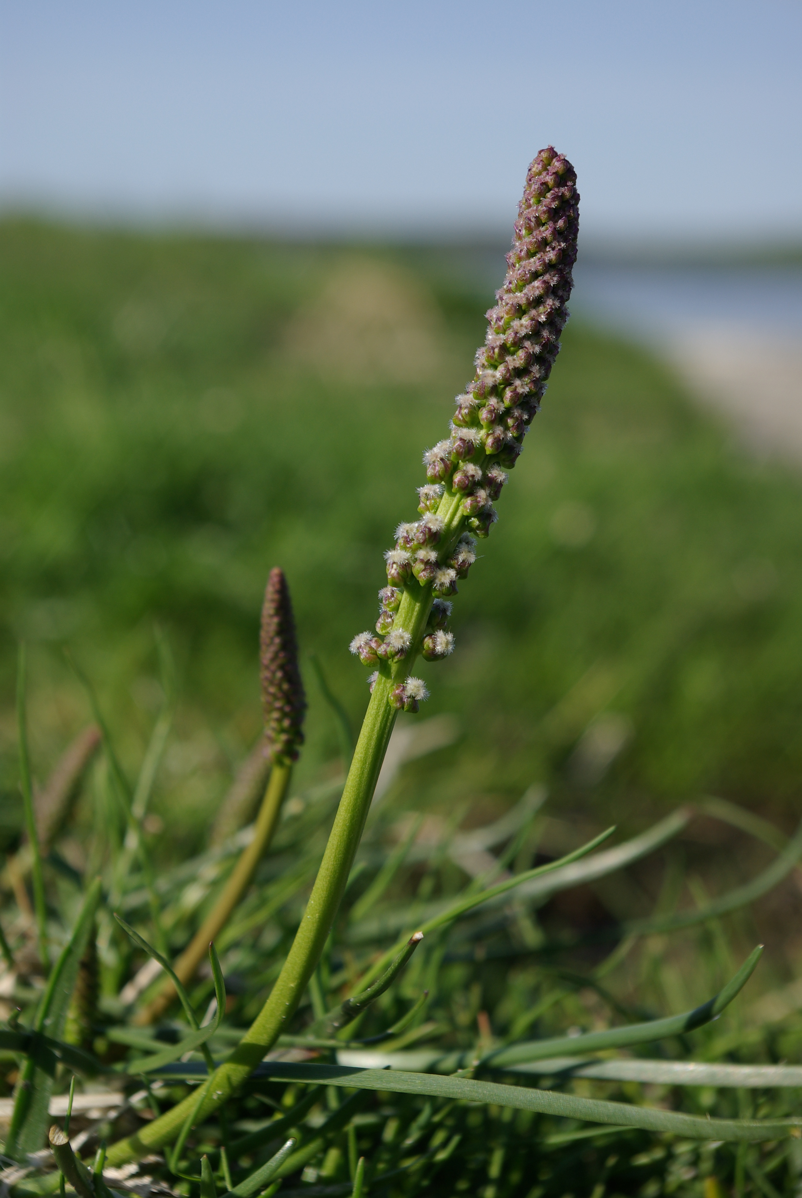
The cliffs are also home to a diverse range of flora and fauna, with various plant species clinging to the rock faces. This creates pockets of greenery amidst the rugged terrain. The area is especially known for its abundance of wildflowers, including yellow rattle, orchids, and thrift, which add vibrant colors to the landscape during the spring and summer months.
Sedbury Cliffs offer an ideal spot for outdoor enthusiasts, such as hikers and nature lovers, who can explore the surrounding area and take in the stunning views. The cliffs are also popular among birdwatchers, as they provide an excellent vantage point for observing various bird species that inhabit the riverbanks and surrounding woodlands.
Overall, Sedbury Cliffs in Gloucestershire are a natural wonder, combining impressive geological formations, scenic beauty, and diverse biodiversity, making them a must-visit destination for anyone seeking to immerse themselves in the wonders of nature.
If you have any feedback on the listing, please let us know in the comments section below.
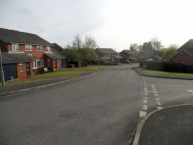
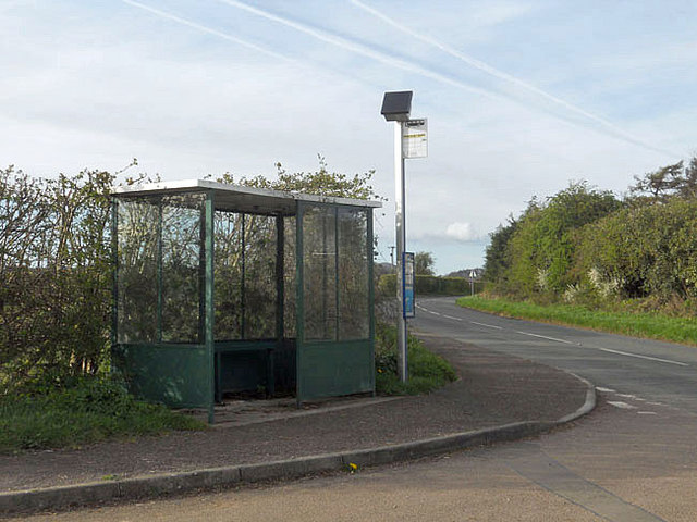
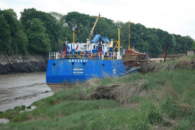
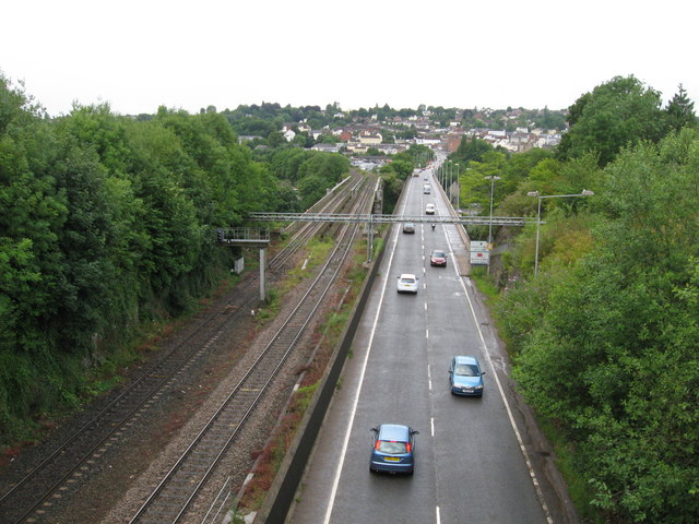
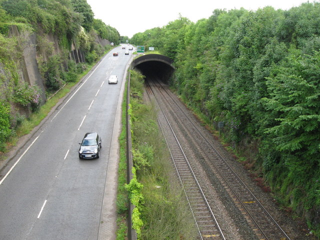
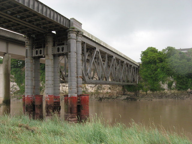
Sedbury Cliffs Images
Images are sourced within 2km of 51.637558/-2.6402645 or Grid Reference ST5593. Thanks to Geograph Open Source API. All images are credited.


Sedbury Cliffs is located at Grid Ref: ST5593 (Lat: 51.637558, Lng: -2.6402645)
Administrative County: Gloucestershire
District: Forest of Dean
Police Authority: Gloucestershire
What 3 Words
///chip.bibs.curly. Near Chepstow, Monmouthshire
Nearby Locations
Related Wikis

Fossil Beach (Sedbury Cliffs)
Fossil Beach, at Sedbury, Gloucestershire, England, is beneath the Sedbury Cliffs by the River Severn and is known as a rich source of easily discovered...

Sedbury
Sedbury is a village in the Forest of Dean district of west Gloucestershire, England. It is located on the eastern bank of the River Wye, facing the town...

Wyedean School
Wyedean School and Sixth Form Centre is a secondary school with academy status in Sedbury, Gloucestershire, England, just across the border from Chepstow...
Pennsylvania Fields, Sedbury
Pennsylvania Fields, Sedbury (grid reference ST542929) is a 27.03-hectare (66.8-acre) biological Site of Special Scientific Interest in Gloucestershire...

Tutshill for Beachley Halt railway station
Tutshill for Beachley Halt was a request stop on the South Wales Railway (now known as the Gloucester to Newport Line) and Wye Valley Railway. It was opened...
Chepstow East railway station
Chepstow East railway station was a temporary station on the South Wales Railway (now the Gloucester to Newport Line). It was on the opposite bank of the...
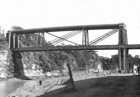
Chepstow Railway Bridge
Chepstow Railway Bridge was built to the instructions of Isambard Kingdom Brunel in 1852. The "Great Tubular Bridge" over the River Wye at Chepstow, which...

National Diving and Activity Centre
The National Diving and Activity Centre (NDAC) was a facility located at a large flooded quarry at Tidenham, Gloucestershire, England, near to the border...
Nearby Amenities
Located within 500m of 51.637558,-2.6402645Have you been to Sedbury Cliffs?
Leave your review of Sedbury Cliffs below (or comments, questions and feedback).