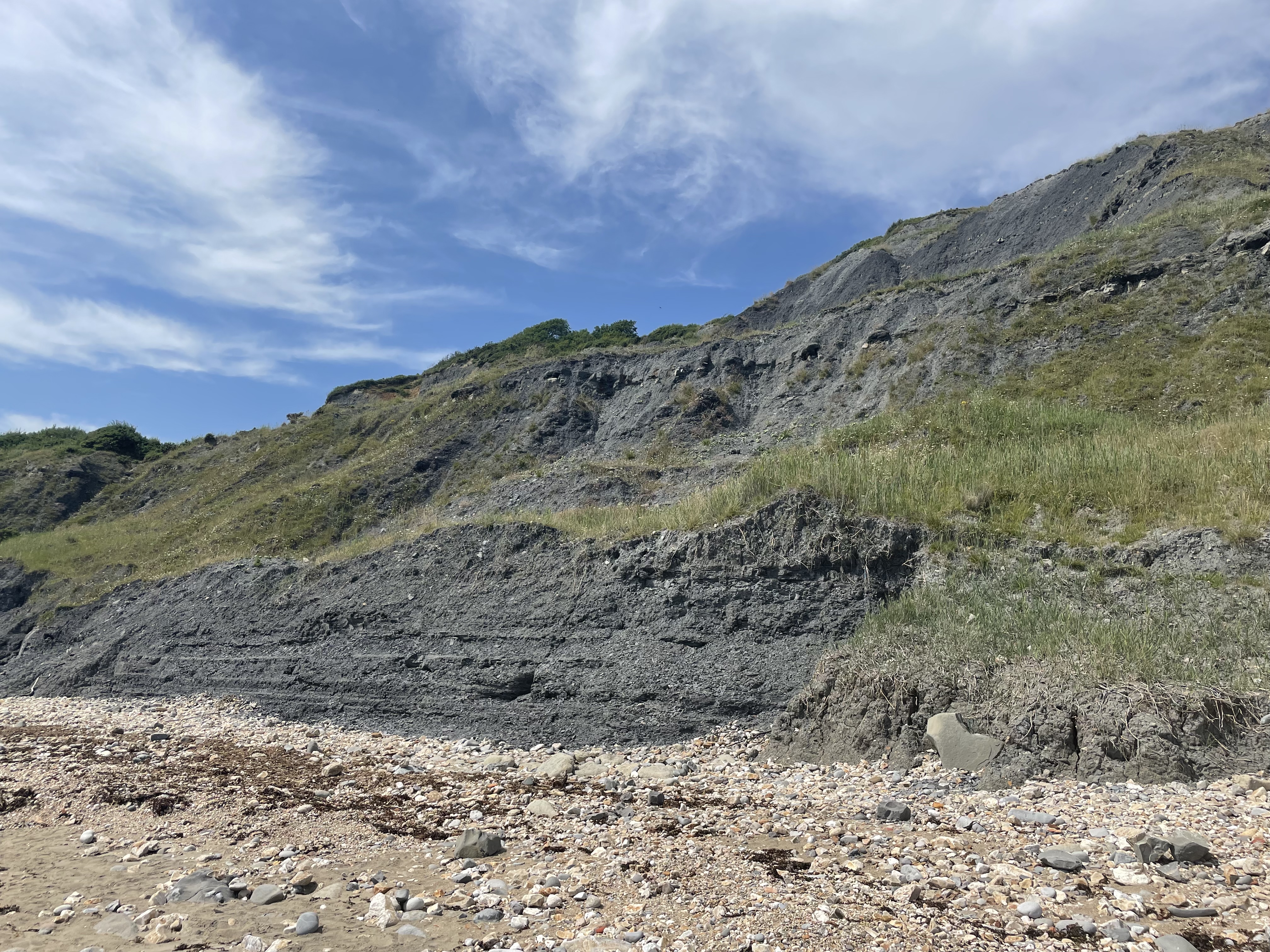
The Spittles
Cliff, Slope in Dorset
England
The Spittles

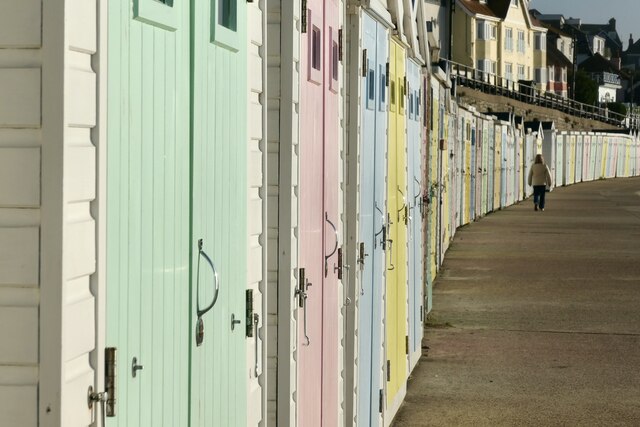
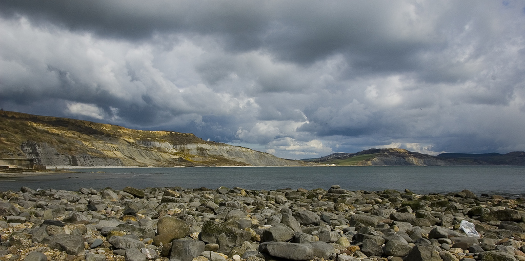
The Spittles, located in Dorset, England, is a picturesque cliff and slope area that is renowned for its natural beauty and stunning views. Situated along the Jurassic Coast, a UNESCO World Heritage site, this geological marvel attracts tourists, nature enthusiasts, and geologists alike.
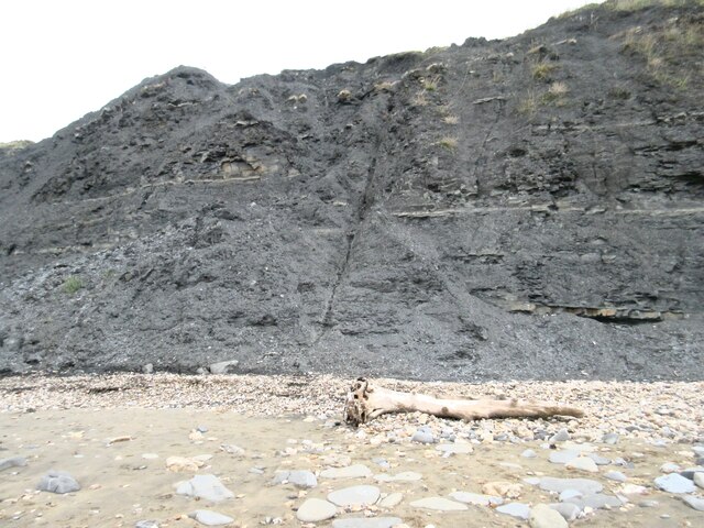
The cliff face at The Spittles is composed of layers of sedimentary rock, which provide valuable insights into the Earth's history. Fossilized remains, including ammonites and belemnites, can often be found embedded within the rocks, offering a glimpse into the prehistoric world. As erosion continues to shape the cliffs, new discoveries are regularly unearthed.
The slope at The Spittles is covered in lush vegetation, creating a vibrant and diverse ecosystem. Various plant species, such as wildflowers and grasses, flourish here, providing a habitat for numerous insects, birds, and small mammals. The colorful display of flora, particularly during the spring and summer months, adds to the area's charm and allure.
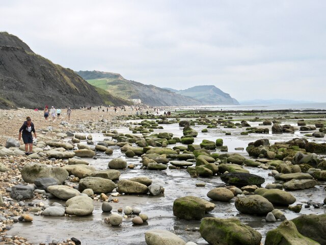
Visitors to The Spittles can enjoy breathtaking panoramic views of the English Channel and the surrounding countryside. The cliff's elevated position allows for unobstructed vistas, making it an ideal spot for photographers, hikers, and those seeking a peaceful retreat.
Access to The Spittles is generally safe, but caution should be exercised when exploring the cliff and slope areas due to potential hazards such as loose rocks and steep inclines. Visitors are advised to adhere to any safety guidelines and respect the natural environment.
In summary, The Spittles in Dorset offers a captivating blend of geological wonders, rich biodiversity, and awe-inspiring landscapes, making it a must-visit destination for nature lovers and geology enthusiasts.
If you have any feedback on the listing, please let us know in the comments section below.
The Spittles Images
Images are sourced within 2km of 50.732521/-2.9225149 or Grid Reference SY3492. Thanks to Geograph Open Source API. All images are credited.


The Spittles is located at Grid Ref: SY3492 (Lat: 50.732521, Lng: -2.9225149)
Unitary Authority: Dorset
Police Authority: Dorset
What 3 Words
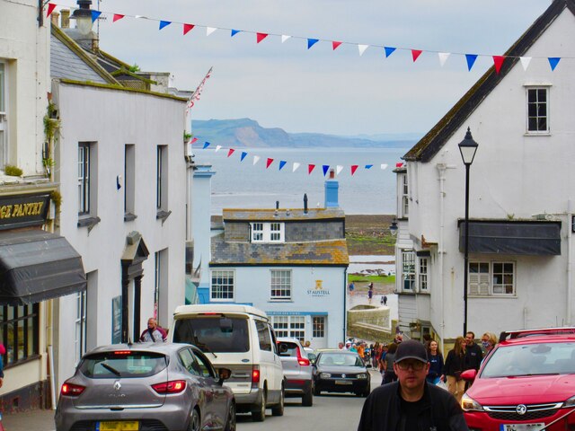
///elevates.bandage.petted. Near Lyme Regis, Dorset
Nearby Locations
Related Wikis
The Spittles
The Spittles is an area of coastal cliff in the county of Dorset on the south coast of England. It is situated between the settlements of Lyme Regis to...

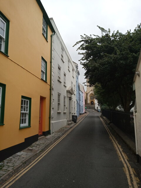
Lyme Regis Cemetery
Lyme Regis Cemetery is the principal cemetery in the English town of Lyme Regis, Dorset. Estimates for the number of burials in the cemetery range from...
Black Ven
Black Ven is a cliff in Dorset, England between the towns of Charmouth and Lyme Regis. The cliffs reach a height of 130 metres (430 ft). It is part of...
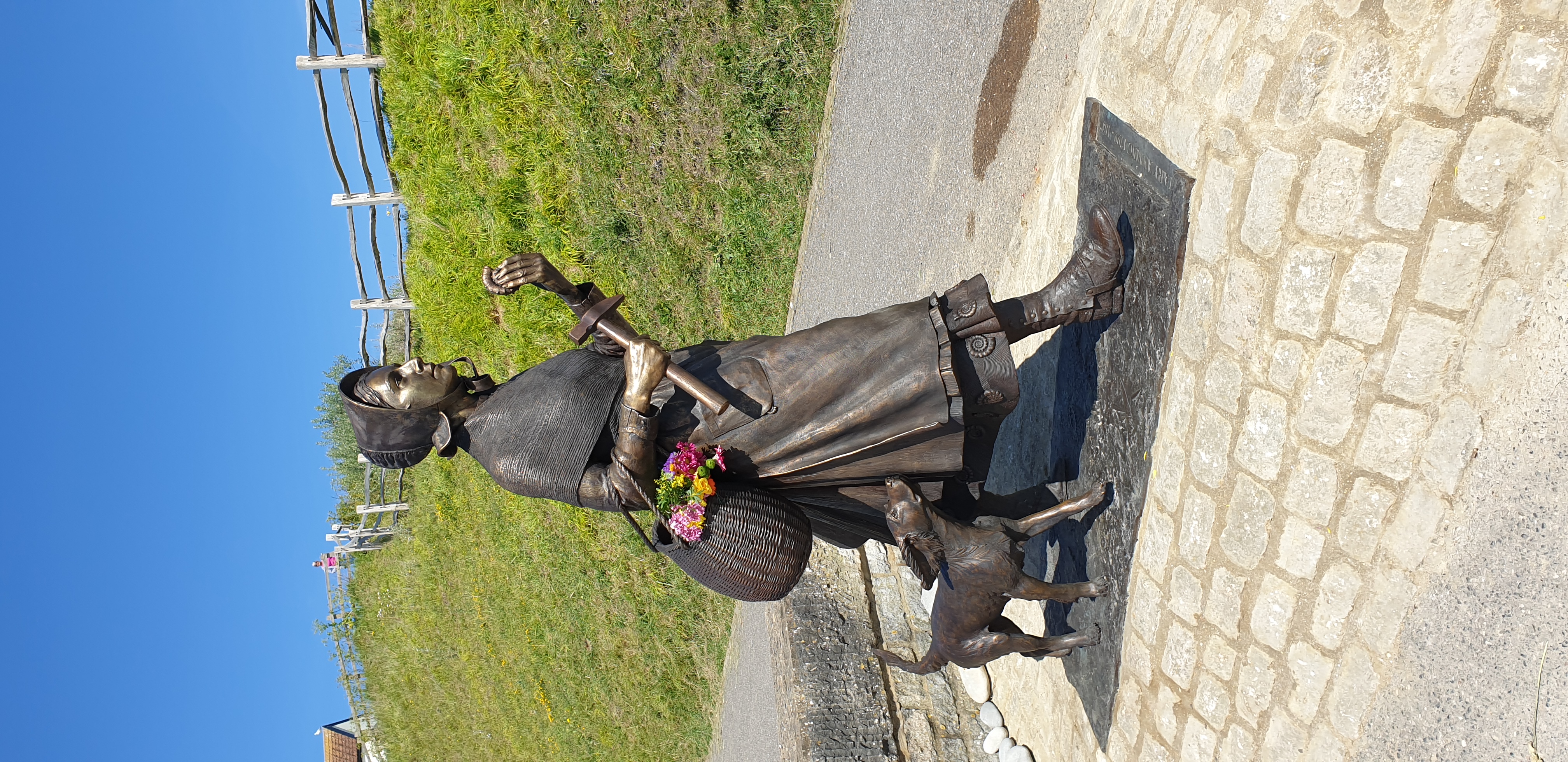
Statue of Mary Anning
The Statue of Mary Anning is a bronze sculpture of the paleontologist Mary Anning in Lyme Regis. == Inception and campaign == In August 2018, a campaign...
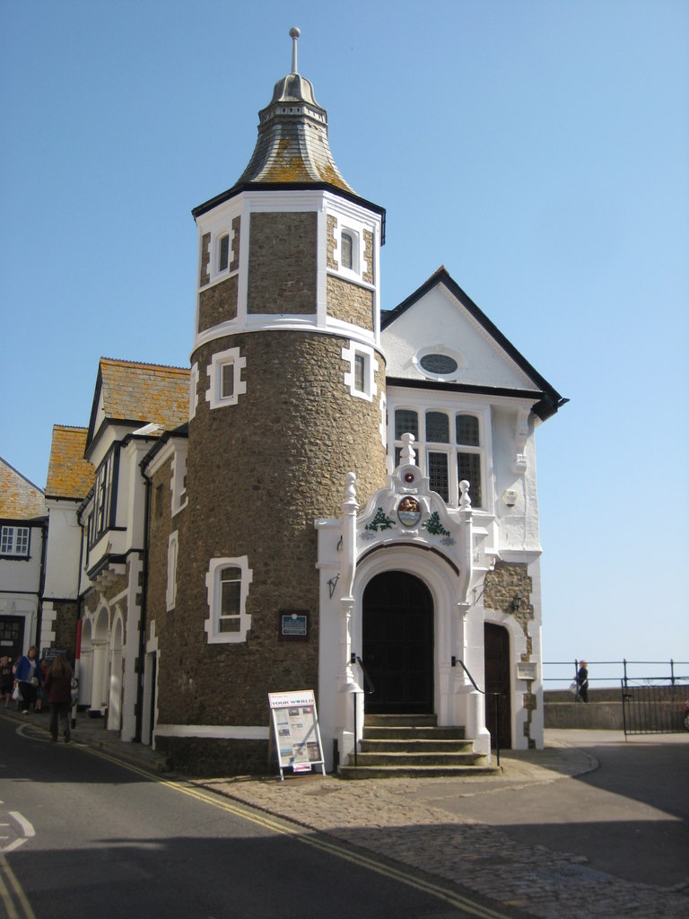
Lyme Regis Guildhall
Lyme Regis Guildhall is a municipal building in Bridge Street, Lyme Regis, Dorset, England. The building, which serves as the meeting place of Lyme Regis...

Dinosaurland Fossil Museum
Dinosaurland Fossil Museum (aka Dinosaurland) is a privately owned fossil museum in Lyme Regis, on the Jurassic Coast in Dorset, England. The museum is...
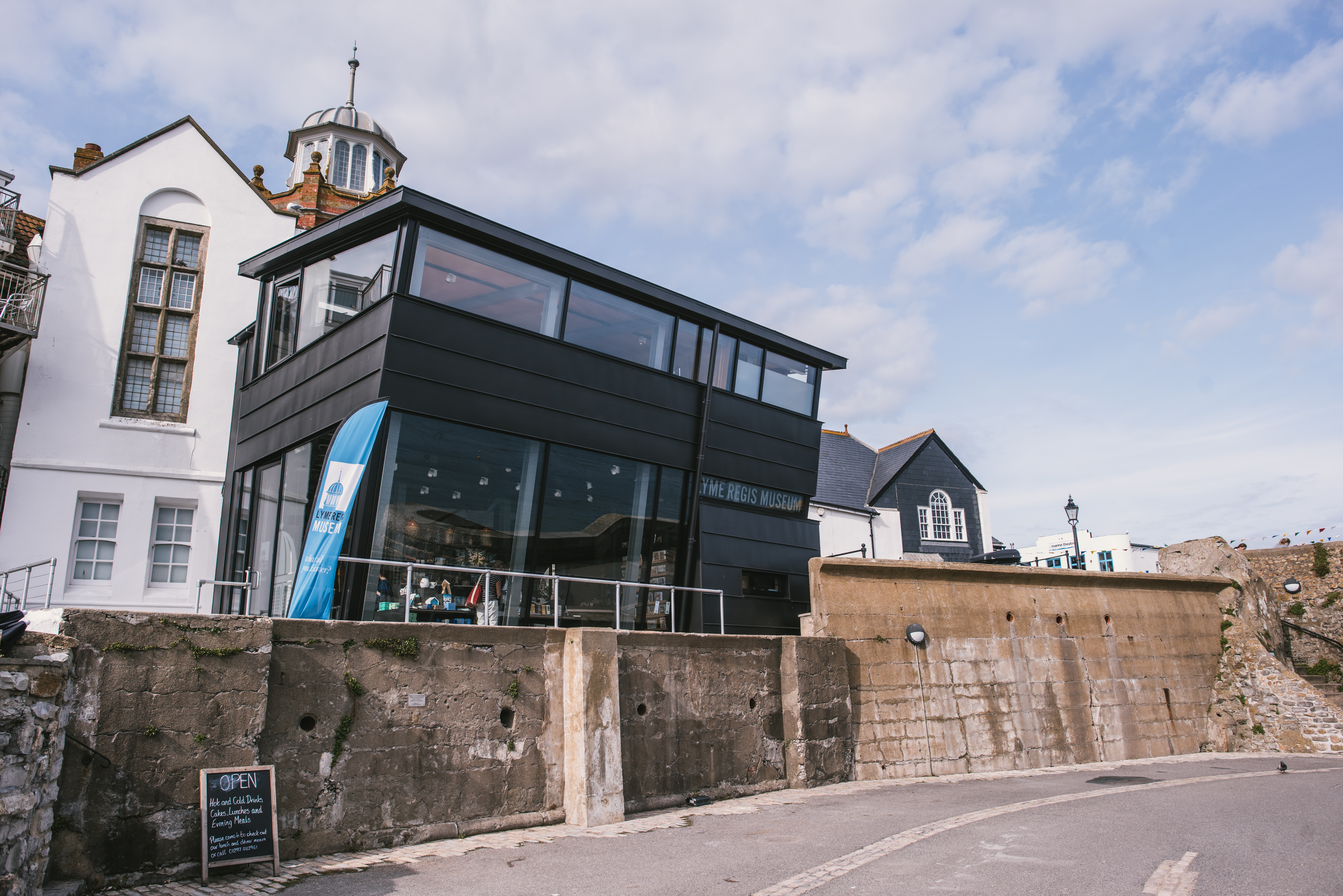
Lyme Regis Museum
Lyme Regis Philpot Museum is situated in the town of Lyme Regis on the Jurassic Coast in Dorset, England. It is a registered charity under English law...
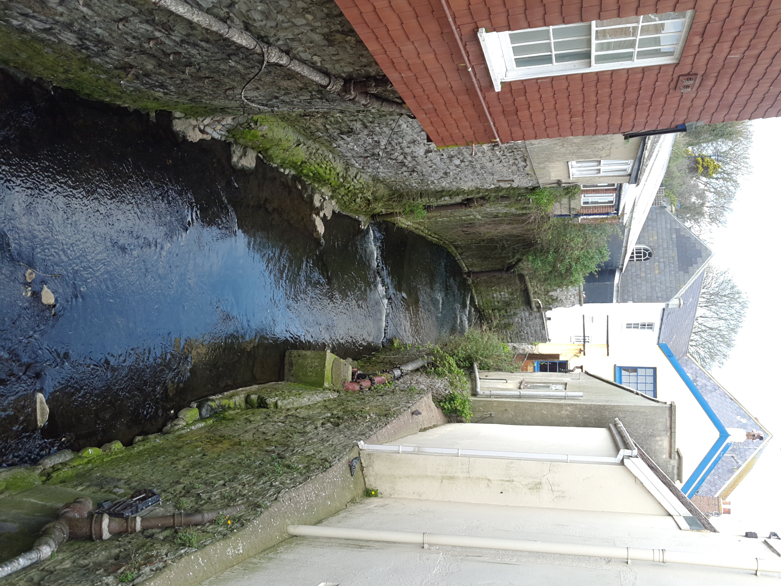
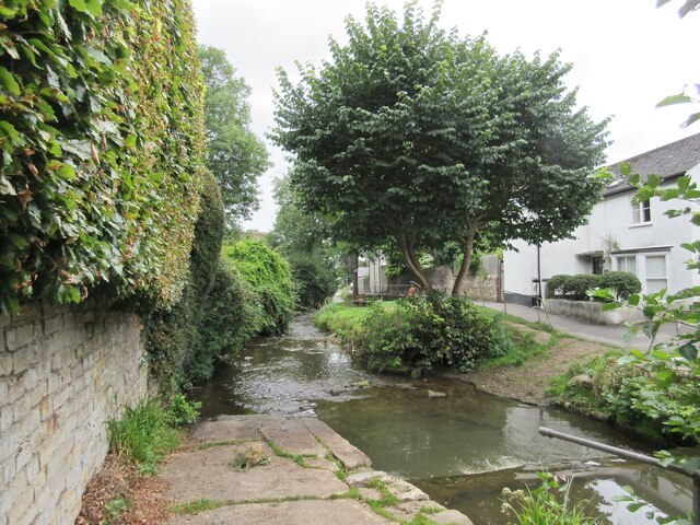
River Lym
The River Lym or River Lim is a short river, some 5 km (3.1 mi) in length, that flows through the Devon-Dorset border. It rises from multiple springs at...
Nearby Amenities
Located within 500m of 50.732521,-2.9225149Have you been to The Spittles?
Leave your review of The Spittles below (or comments, questions and feedback).