Barker Scar

Cliff, Slope in Lancashire South Lakeland

England

Barker Scar

Leven Viaduct from Canal Foot The Leven Viaduct carries the Cumbrian Coast Line from the Cartmel Peninsula to the Furness Peninsula. It is to be closed for maintenance for 3 months in 2006, entailing a 15-mile diversion for passengers on coaches.
Leven Viaduct from Canal Foot Credit: Ben Stafford

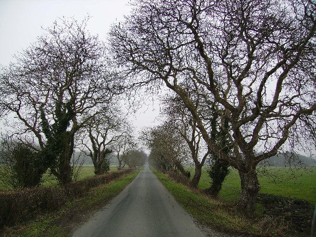
Barker Scar is a prominent geological feature located in Lancashire, England. Situated on the edge of the Forest of Bowland, it is a cliff and slope formation that provides stunning views of the surrounding countryside.

The scar is composed of layers of sedimentary rock, primarily sandstone, which were deposited during the Carboniferous period, approximately 300 million years ago. These layers have been exposed through erosion over time, creating the distinctive cliff face and sloping terrain.

Barker Scar is a popular destination for outdoor enthusiasts, offering opportunities for hiking, rock climbing, and birdwatching. The cliff face provides a challenging terrain for climbers, with various routes catering to different skill levels. The slopes surrounding the scar are home to a diverse range of flora and fauna, attracting nature lovers and birdwatchers.

The scar's location within the Forest of Bowland Area of Outstanding Natural Beauty ensures its preservation and protection. The area is known for its exceptional landscapes and unique wildlife, making Barker Scar an important part of the region's natural heritage.

Visitors to Barker Scar can enjoy panoramic views of the surrounding countryside, including the picturesque valleys and rolling hills of Lancashire. The scar is especially scenic during the autumn months when the foliage transforms into a vibrant display of colors.

In summary, Barker Scar is a geological marvel in Lancashire, offering breathtaking views, challenging terrain for outdoor activities, and a haven for nature enthusiasts.

If you have any feedback on the listing, please let us know in the comments section below.

Barker Scar Images

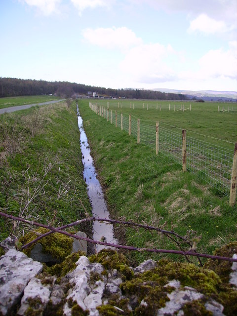
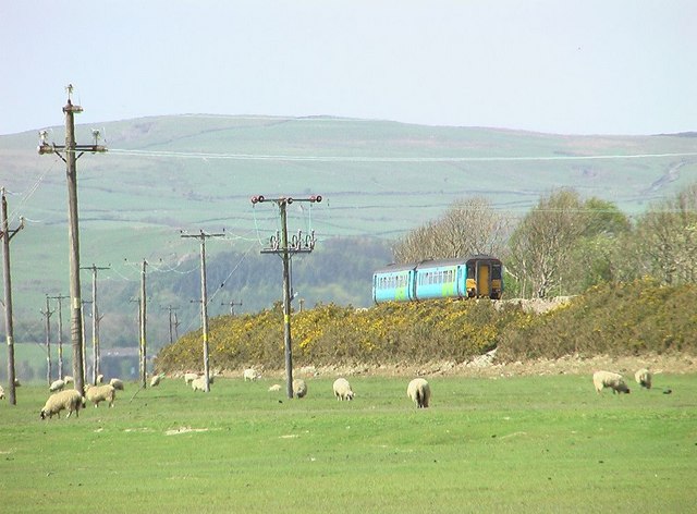
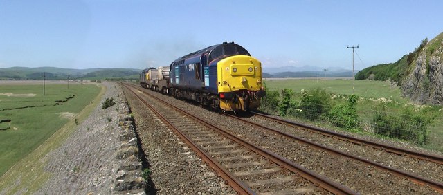
Images are sourced within 2km of 54.196483/-3.024316 or Grid Reference SD3378. Thanks to Geograph Open Source API. All images are credited.

Leven Viaduct from Canal Foot The Leven Viaduct carries the Cumbrian Coast Line from the Cartmel Peninsula to the Furness Peninsula. It is to be closed for maintenance for 3 months in 2006, entailing a 15-mile diversion for passengers on coaches.
Leven Viaduct from Canal Foot
The Leven Viaduct carries the Cumbrian Coast Line from the Cartmel Peninsula to the Furness Peninsula. It is to be closed for maintenance for 3 months in 2006, entailing a 15-mile diversion for passengers on coaches.
Road to Old Park Great avenue of trees near Holker
Road to Old Park
Great avenue of trees near Holker
Ditch Old Park Old park Wood in view
Ditch Old Park
Old park Wood in view
Park Head Looking across the foreshore towards the Coniston Fells
Park Head
Looking across the foreshore towards the Coniston Fells
Limestone Low Frith On the shore a small limestone cliff
Limestone Low Frith
On the shore a small limestone cliff
Road to Frith Hall On the estuary of the River Leven. The fells are calling.
Road to Frith Hall
On the estuary of the River Leven. The fells are calling.
Plumpton Bight Leven Viaduct in view across the Bight
Plumpton Bight
Leven Viaduct in view across the Bight
Plumpton Hall Almost on the shore by the Leven estuary
Plumpton Hall
Almost on the shore by the Leven estuary
A driver's view A driver's view of the Leven Viaduct from one of the older style diesel units.
A driver's view
A driver's view of the Leven Viaduct from one of the older style diesel units.
Hammerside Point Taken from Plumpton Hall looking across cartmel sands and Morecambe bay.
Hammerside Point
Taken from Plumpton Hall looking across cartmel sands and Morecambe bay.
Capeshead Embankment A Lancaster to Barrow train
Capeshead Embankment
A Lancaster to Barrow train
Capeshead Embankment A Sellafield to Heysham flask train passes the rocky promentry of Capes Head on the right
Capeshead Embankment
A Sellafield to Heysham flask train passes the rocky promentry of Capes Head on the right
Capeshead Embankment A view from Capes Head of a Barrow to Manchester train crossing Capeshead Embankment with the Levens Estuary and the "replica" Eddystone Lighthouse on Hoad hill above Ulverston in the background.
Capeshead Embankment
A view from Capes Head of a Barrow to Manchester train crossing Capeshead Embankment with the Levens Estuary and the "replica" Eddystone Lighthouse on Hoad hill above Ulverston in the background.
Plumpton Junction The site of the junction for the branch to Lakeside (now truncated from Haverthwaite) and also a further branch to the Glaxo Works and Conishead Priory which ran across the fields to the left.
Plumpton Junction
The site of the junction for the branch to Lakeside (now truncated from Haverthwaite) and also a further branch to the Glaxo Works and Conishead Priory which ran across the fields to the left.
Train crossing the Leven viaduct The picture shows just the start of the viaduct which has 48 piers supporting it across the estuary. The picture was taken at high tide.
Train crossing the Leven viaduct
The picture shows just the start of the viaduct which has 48 piers supporting it across the estuary. The picture was taken at high tide.
The banks of the river Leven At high tide, as shown here, this river increases massively in size.
The banks of the river Leven
At high tide, as shown here, this river increases massively in size.
Plumpton Bight at high tide Looking towards the Leven viaduct this picture shows the extent of this estuary when the tide is high.
Plumpton Bight at high tide
Looking towards the Leven viaduct this picture shows the extent of this estuary when the tide is high.
Low cliffs on the river Leven Gorse covers these low cliffs above the high water level of the Leven estuary.
Low cliffs on the river Leven
Gorse covers these low cliffs above the high water level of the Leven estuary.
Show me another place!

Barker Scar is located at Grid Ref: SD3378 (Lat: 54.196483, Lng: -3.024316)

Administrative County: Cumbria

District: South Lakeland

Police Authority: Cumbria

What 3 Words

///princes.tinned.eliminate. Near Flookburgh, Cumbria

Nearby Locations

Park Head Barker Scar

Related Wikis

Canal Foot

Canal Foot is an industrial village in Cumbria, England, on the Leven estuary. It is located 1.7 miles (2.7 km) by road to the east of the centre of Ulverston...
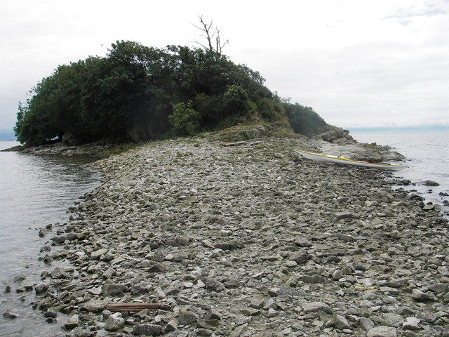
Chapel Island

Chapel Island is a limestone outcrop that lies in the Leven estuary of Morecambe Bay in England, less than one mile (1.6 km) from the shoreline at Bardsea...
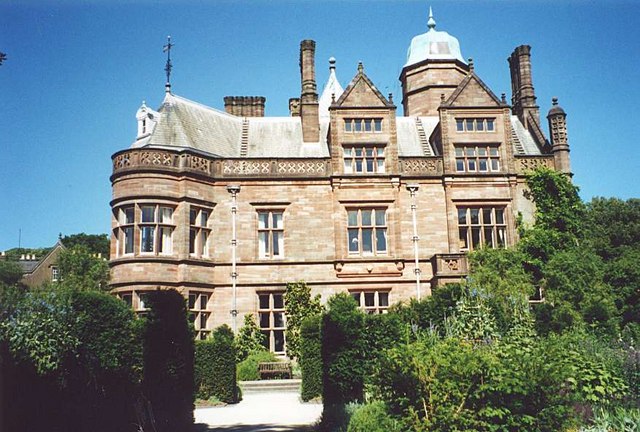
Holker Hall

Holker Hall (pronounced Hooker by some) is a privately owned country house located about 2 km to the southwest of the village of Cartmel in the ceremonial...
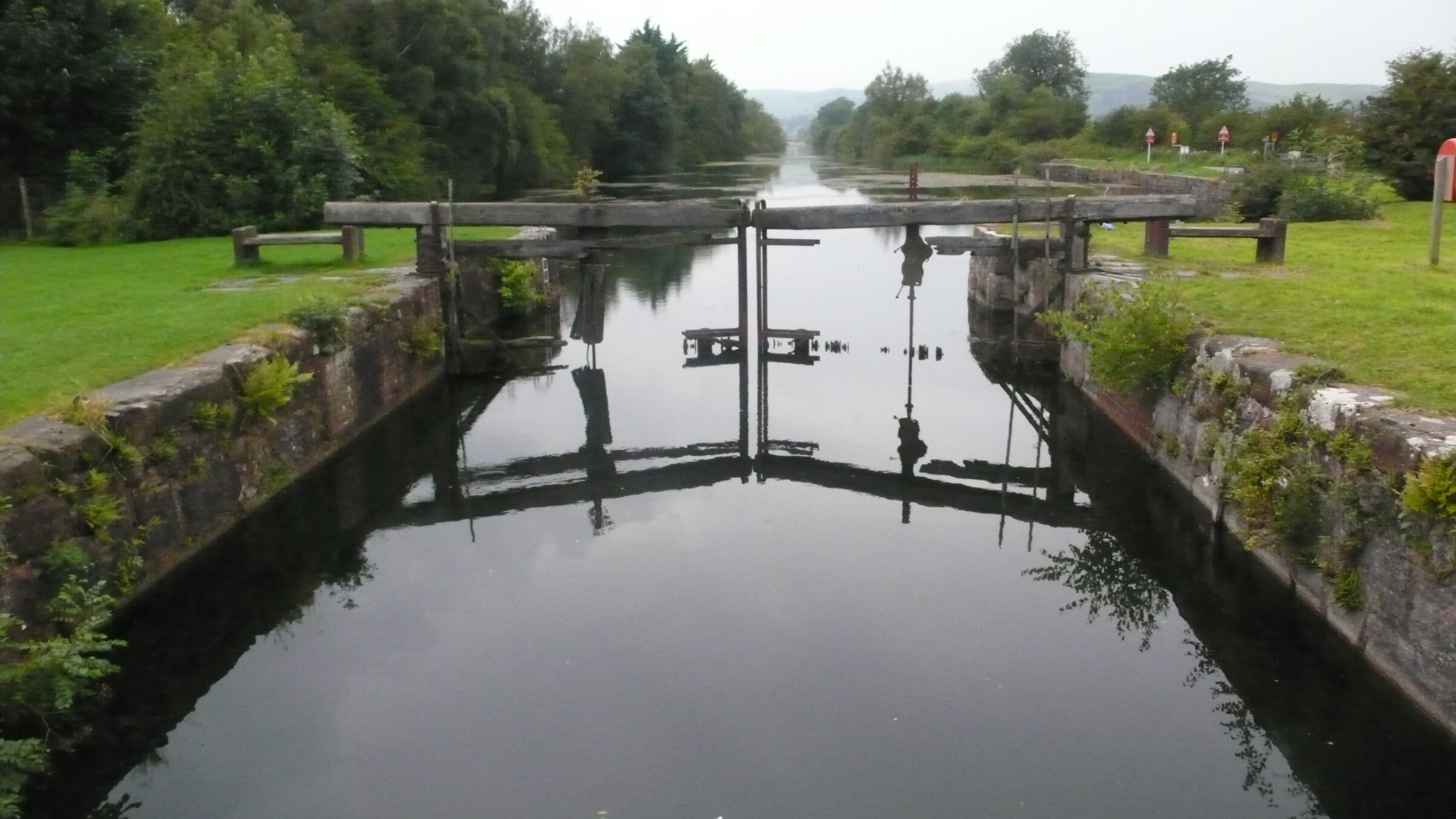
Ulverston Canal

The Ulverston Canal is a 1.25 miles (2 km) ship canal that connects the town of Ulverston, Cumbria, England with Morecambe Bay. The waterway, which is...

Nearby Amenities

Located within 500m of 54.196483,-3.024316
Source: PGS
Lat/Long: 54.2006835/-3.0231698
Source: PGS
Lat/Long: 54.20039/-3.0235033
Source: PGS
Lat/Long: 54.2001815/-3.0239317
Source: PGS
Lat/Long: 54.199846/-3.0241636
Source: PGS
Lat/Long: 54.19957/-3.0242747
Source: PGS
Lat/Long: 54.1991595/-3.0244649
Source: PGS
Lat/Long: 54.198847/-3.0246167
Source: PGS
Lat/Long: 54.1983704/-3.0247891
Source: PGS
Lat/Long: 54.1976796/-3.0254457
Source: PGS
Lat/Long: 54.1975559/-3.0260337
Source: PGS
Lat/Long: 54.1975736/-3.0269692
Source: PGS
Lat/Long: 54.1974994/-3.0276236
Source: PGS
Lat/Long: 54.1974136/-3.0281996
Source: PGS
Lat/Long: 54.1972353/-3.0290856
Source: PGS
Lat/Long: 54.196974/-3.0306847
Source: PGS
Lat/Long: 54.196909/-3.0311474
Source: PGS
Lat/Long: 54.1968481/-3.0316442
Power: pole
Lat/Long: 54.1955515/-3.0209224
Power: pole
Lat/Long: 54.1952095/-3.0220597
Power: pole
Lat/Long: 54.1949686/-3.0228777
Location Transition: yes
Power: pole
Lat/Long: 54.1933374/-3.0282113
Power: pole
Lat/Long: 54.1928494/-3.0270875
Power: pole
Lat/Long: 54.1944908/-3.0246332
Power: pole
Lat/Long: 54.1936779/-3.0241638
Power: pole
Lat/Long: 54.1928525/-3.0237481
Power: pole
Lat/Long: 54.1923425/-3.0259556
The data included in this document is from www.openstreetmap.org. The data is made available under ODbL.

Have you been to Barker Scar?

Leave your review of Barker Scar below (or comments, questions and feedback).