Culver Cliff
Cliff, Slope in Somerset Somerset West and Taunton
England
Culver Cliff

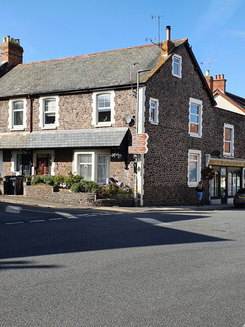
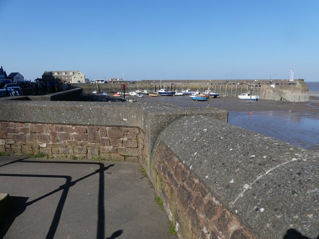
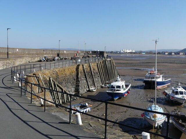
Culver Cliff is a prominent geological feature located in Somerset, England. It is a steep and rugged cliff that stretches along the coastal area of Culver Bay, near the village of Sandbay. The cliff is famous for its picturesque views and is a popular destination for tourists and locals alike.
Rising to a height of approximately 100 meters, Culver Cliff offers breathtaking panoramic vistas of the Bristol Channel and the surrounding countryside. The cliff is primarily composed of sedimentary rocks, mainly limestone and sandstone, which have been gradually eroded over millions of years by the powerful forces of wind and water.
The slope of Culver Cliff is characterized by its steepness and instability. Due to constant erosion, the cliff face is prone to occasional landslides and rockfalls, making it important for visitors to exercise caution while exploring the area. The unstable nature of the slope also presents a challenge for geologists and environmental researchers who are studying the processes of erosion and the effects of climate change on coastal landscapes.
Culver Cliff is not only a geological wonder but also serves as a habitat for various plant and animal species. The cliff supports a diverse range of vegetation, including grasses, shrubs, and wildflowers, which have adapted to the harsh coastal conditions. Peregrine falcons, kestrels, and other bird species can often be spotted nesting and hunting around the cliff face.
In conclusion, Culver Cliff is a magnificent natural formation in Somerset, offering stunning views, geological significance, and a unique ecosystem. It stands as a testament to the ever-changing and dynamic nature of our planet's landscapes.
If you have any feedback on the listing, please let us know in the comments section below.
Culver Cliff Images
Images are sourced within 2km of 51.219882/-3.4885713 or Grid Reference SS9647. Thanks to Geograph Open Source API. All images are credited.


Culver Cliff is located at Grid Ref: SS9647 (Lat: 51.219882, Lng: -3.4885713)
Administrative County: Somerset
District: Somerset West and Taunton
Police Authority: Avon and Somerset
What 3 Words
///spires.planting.witless. Near Minehead, Somerset
Nearby Locations
Related Wikis
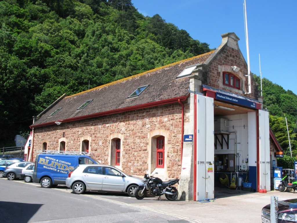
Minehead Lifeboat Station
Minehead Lifeboat Station is the base for Royal National Lifeboat Institution (RNLI) search and rescue operations at Minehead, Somerset in England. The...

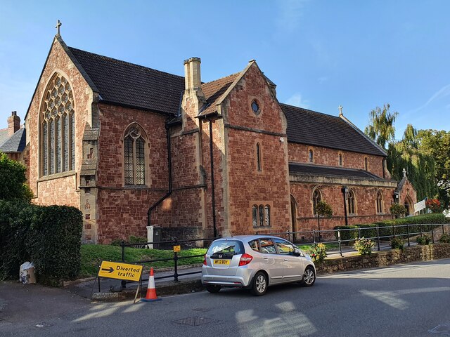
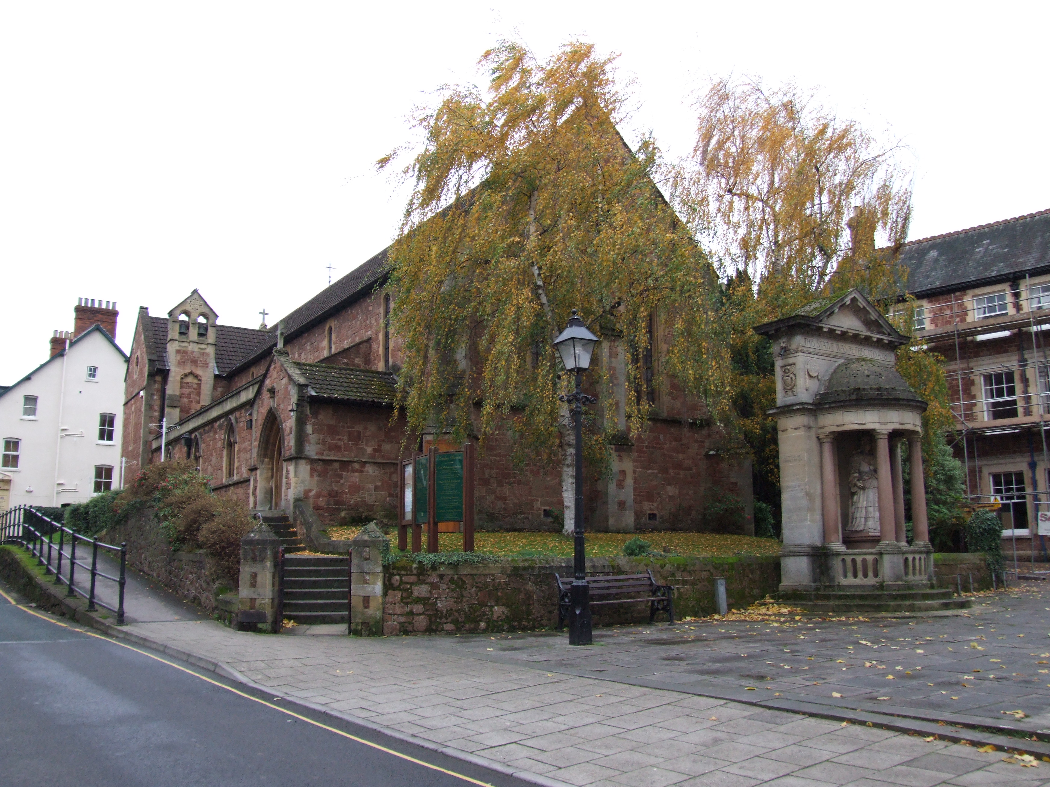
Church of St Michael, Minehead
The Anglican Church of St Michael in Minehead, Somerset, England was built in the 15th century. It is a Grade II* listed building. == History == The church...

South West Coast Path
The South West Coast Path is England's longest waymarked long-distance footpath and a National Trail. It stretches for 630 miles (1,014 km), running from...
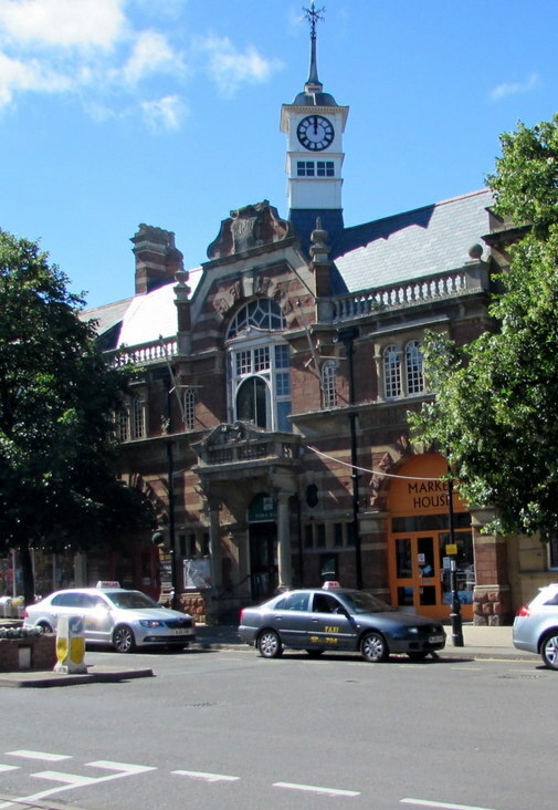
Minehead Town Hall
Minehead Town Hall is a municipal building in The Parade, Minehead, Somerset, England. The structure, which is the meeting place of Minehead Town Council...

Statue of Queen Anne, Minehead
The Statue of Queen Anne in Minehead, Somerset, England was built in 1719. It is a Grade II* listed building. == History == The statue depicts Queen Anne...
St Andrew's Church, Minehead
St Andrew's Church is a Church of England church in Minehead, Somerset, England. Designed by George Edmund Street, it was built in 1877–80 and has been...

Queen's Hall, Minehead
The Queen's Hall in Minehead, Somerset, England, was built in 1914 on the sea front of Minehead as a theatre for films and live performances. It was designed...

Minehead A.F.C.
Minehead Association Football Club is a football club based in Minehead, Somerset, England. The club are currently members of the Somerset County League...
Nearby Amenities
Located within 500m of 51.219882,-3.4885713Have you been to Culver Cliff?
Leave your review of Culver Cliff below (or comments, questions and feedback).