Boretree Heugh
Cliff, Slope in Kirkcudbrightshire
Scotland
Boretree Heugh
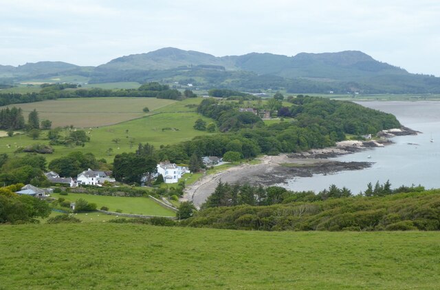
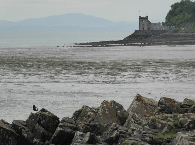
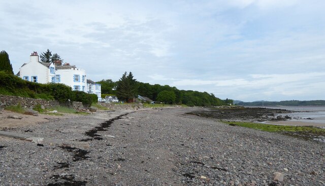
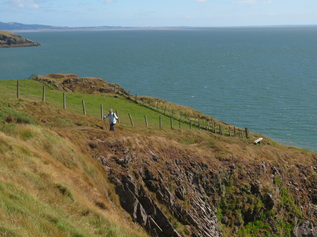
Boretree Heugh is a prominent cliff located in Kirkcudbrightshire, Scotland. Situated in close proximity to the town of Gatehouse of Fleet, this geological feature attracts locals and visitors alike due to its stunning natural beauty and historical significance.
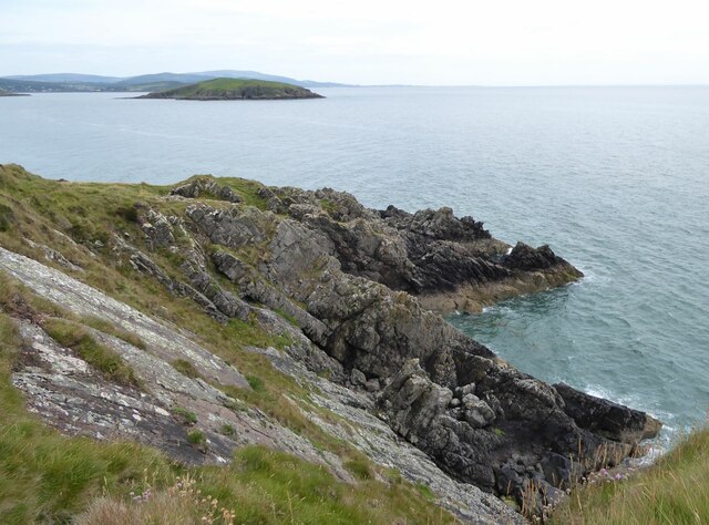
Rising approximately 60 meters above sea level, Boretree Heugh offers breathtaking panoramic views of the surrounding landscape. The cliff is composed of layers of sedimentary rock, primarily sandstone and shale, formed millions of years ago during the Devonian period. These layers provide valuable insights into the area's geological history.
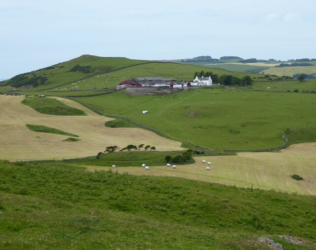
The cliff face is characterized by its steep slope, which makes it an ideal location for rock climbers and hikers seeking a challenge. The rugged terrain and exposed rock formations add to the allure of Boretree Heugh, attracting outdoor enthusiasts looking for an adrenaline rush.
In addition to its geological and recreational value, Boretree Heugh holds historical significance. It is believed that the cliff was once used as a lookout point during battles and conflicts in the region. Remnants of fortifications and defensive structures can still be seen, offering a glimpse into the area's past.
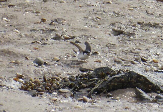
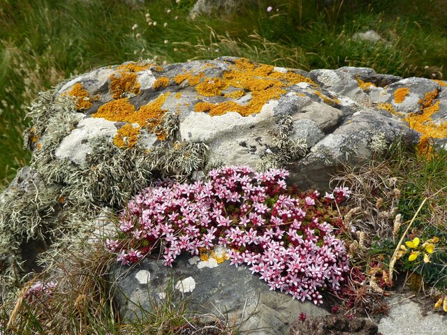
Boretree Heugh is also home to a variety of flora and fauna, with nesting seabirds such as fulmars and kittiwakes making their homes on the cliff face. The surrounding area boasts a rich biodiversity, with heather, gorse, and various wildflowers dotting the landscape.
Overall, Boretree Heugh is a captivating natural feature, offering a combination of geological, recreational, and historical significance. It is a must-visit site for those exploring the beauty of Kirkcudbrightshire.
If you have any feedback on the listing, please let us know in the comments section below.
Boretree Heugh Images
Images are sourced within 2km of 54.833523/-3.8107957 or Grid Reference NX8350. Thanks to Geograph Open Source API. All images are credited.


Boretree Heugh is located at Grid Ref: NX8350 (Lat: 54.833523, Lng: -3.8107957)
Unitary Authority: Dumfries and Galloway
Police Authority: Dumfries and Galloway
What 3 Words
///organist.aimless.ahead. Near Dalbeattie, Dumfries & Galloway
Nearby Locations
Related Wikis

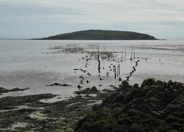
Hestan Island
Hestan Island is a small coastal island at the southern foot of the River Urr estuary in the Solway Firth, in the historical county of Kirkcudbrightshire...

Urr Water
Urr Water or River Urr (arc. River Orr) is a river in which flows through the counties of Dumfriesshire and Kirkcudbrightshire in southwest Scotland....

Rough Island, Scotland
"Rough Island" is also used as a translation of "Garbh Eilean", a common Scottish name for islandsRough Island is a 20-acre (8 ha) uninhabited tidal island...

Rough Firth
Rough Firth is an inlet on the northern coast of the Solway Firth in the Stewartry area of Dumfries and Galloway, Scotland. The firth lies between Almorness...

Orchardton Castle
Orchardton Castle overlooks the Solway Coast. Built in the 1880s, this is a Grade B listed property formerly known as Orchardton House. Built around a...

Auchencairn
Auchencairn ([ɔxən'kʰɛ:(r)n]) is a village in the historical county of Kirkcudbrightshire in the Dumfries and Galloway region of Scotland. It is located...
Rockcliffe, Dumfries and Galloway
Rockcliffe is a small, coastal village in Kirkcudbrightshire, Dumfries and Galloway in Scotland, with a view of Rough Island, Hestan Island, the Solway...

Kippford
Kippford (/ˈkɪpfəd/; otherwise Scaur) is a small village along the Solway coast, in the historic county of Kirkcudbrightshire in Dumfries and Galloway...
Nearby Amenities
Located within 500m of 54.833523,-3.8107957Have you been to Boretree Heugh?
Leave your review of Boretree Heugh below (or comments, questions and feedback).