Grimsthorpe

Settlement in Lincolnshire South Kesteven

England

Grimsthorpe

Grimsthorpe Castle Looking down North Avenue
Grimsthorpe Castle Credit: Tim Heaton

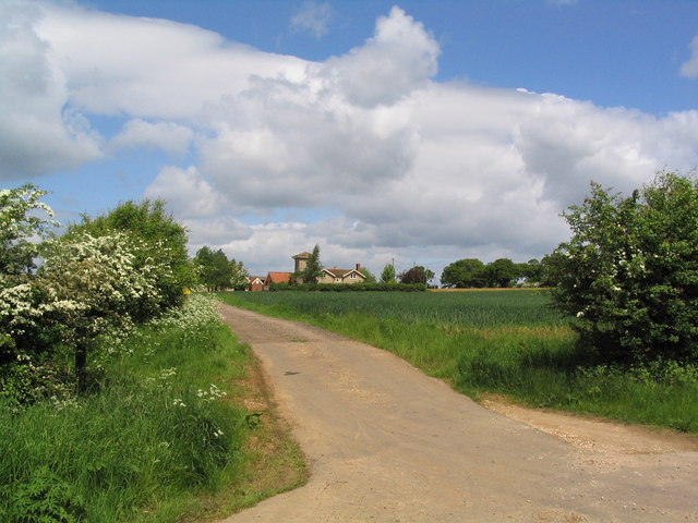
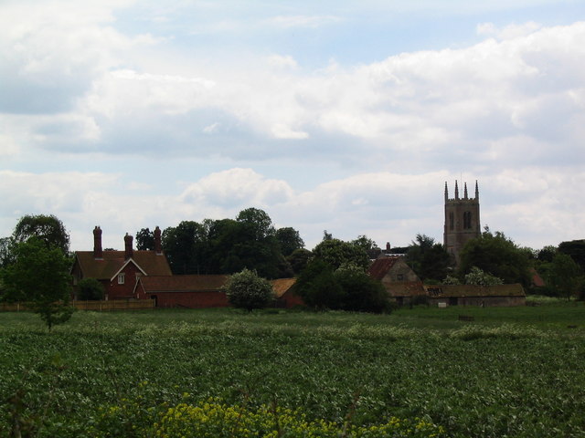
Grimsthorpe is a small village located in the county of Lincolnshire, England. Situated approximately 12 miles south-west of the town of Bourne, it is nestled within the picturesque countryside of the Lincolnshire Fens. The village is part of the district of South Kesteven and falls under the civil parish of Edenham.

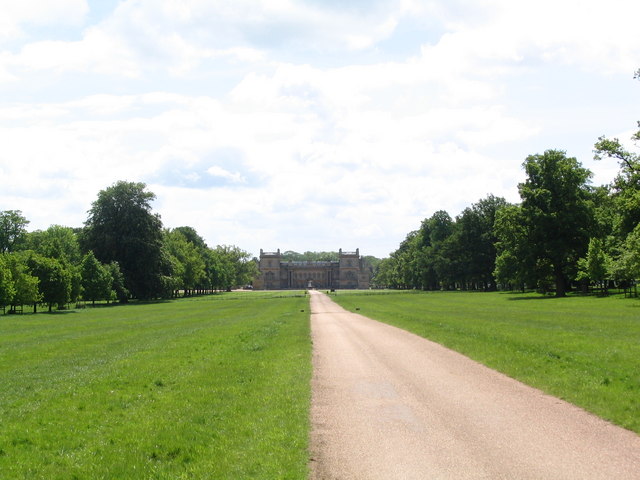
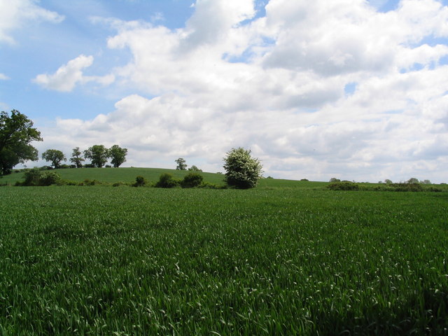
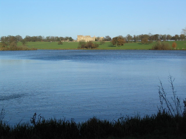
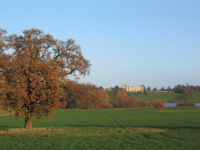
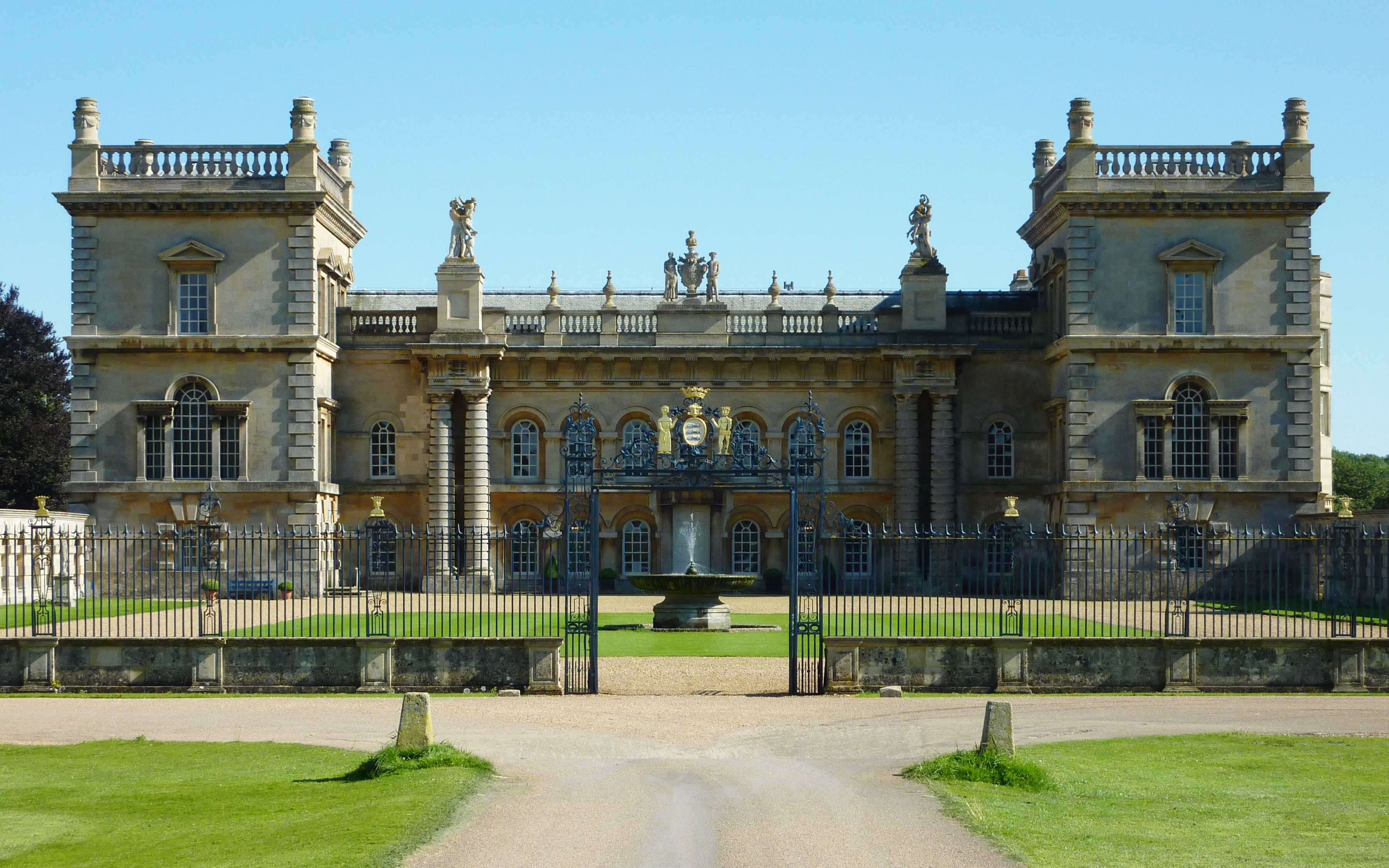
Grimsthorpe is best known for its historic castle, Grimsthorpe Castle, which dates back to the 13th century. The castle, which is privately owned, is set within a vast estate that covers over 3,000 acres of parkland, gardens, and woodlands. The parkland around the castle is home to a diverse range of wildlife, including deer, and is a popular spot for leisurely walks and picnics.

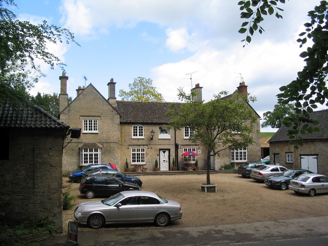
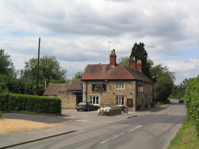
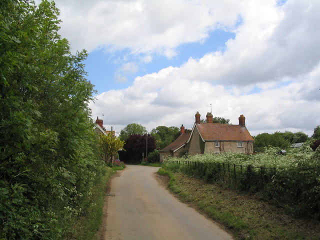
The village itself is small and tranquil, with a population of around 200 residents. It boasts a charming mix of traditional stone cottages and more modern houses. Although the village does not have many amenities, it has a local pub, The Green Man, which serves as a gathering place for locals and visitors alike.

Grimsthorpe also holds an annual village fete, where residents come together to celebrate their community spirit and enjoy various activities, such as games, stalls, and live music. Additionally, the village is surrounded by beautiful countryside, making it an ideal location for outdoor enthusiasts who enjoy activities such as hiking, cycling, and fishing.

Overall, Grimsthorpe offers a peaceful retreat for those seeking a rural escape and a glimpse into the rich history of Lincolnshire.

If you have any feedback on the listing, please let us know in the comments section below.
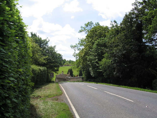
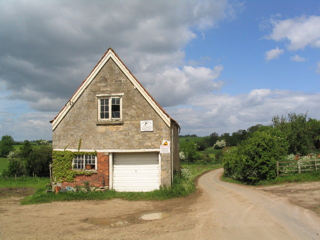
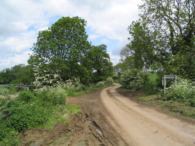
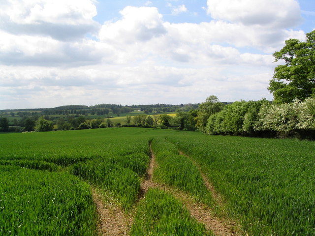
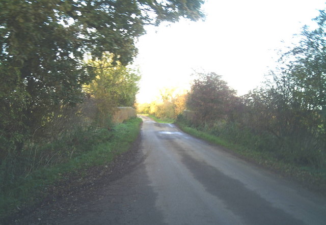
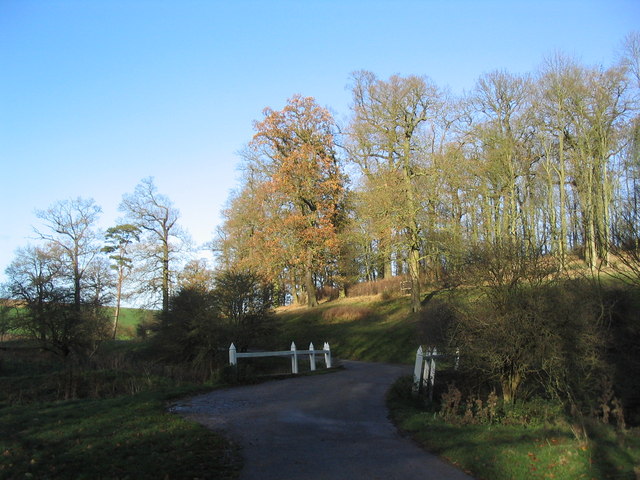
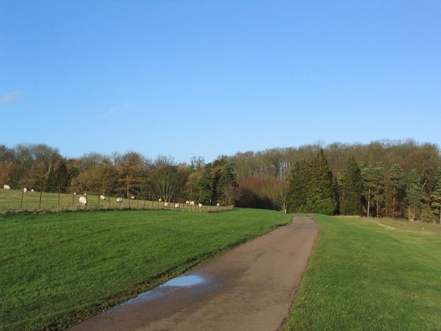
Grimsthorpe Images

Images are sourced within 2km of 52.794371/-0.447181 or Grid Reference TF0423. Thanks to Geograph Open Source API. All images are credited.

Grimsthorpe Castle Looking down North Avenue
Grimsthorpe Castle
Looking down North Avenue
Poultry units near Home Farm Breache's Wood in distance
Poultry units near Home Farm
Breache's Wood in distance
Track to Tower Farm
Track to Tower Farm
The Black Horse, Grimsthorpe Now open for business again
The Black Horse, Grimsthorpe
Now open for business again
Entering Grimsthorpe
Entering Elsthorpe from Grimsthorpe A hamlet of half a dozen houses
Entering Elsthorpe from Grimsthorpe
A hamlet of half a dozen houses
Part of Brook Farm, Elsthorpe
Leaving Elsthorpe on the road to Bulby The bridge on the left crosses the East Glen River
Leaving Elsthorpe on the road to Bulby
The bridge on the left crosses the East Glen River
View west from Gunboro Wood Looking towards the valley of the East Glen river (with Grimsthorpe Castle on horizon)
View west from Gunboro Wood
Looking towards the valley of the East Glen river (with Grimsthorpe Castle on horizon)
Barley fields north of Edenham
Edenham from the north
The Five Bells at Edenham
Shetland ponies in a paddock Shetland ponies.
Shetland ponies in a paddock
Shetland ponies.
Brick road bridge over the River Glen near Elsthorpe Hump-back brick-built bridge over the River Glen, near Elsthorpe.
Brick road bridge over the River Glen near Elsthorpe
Hump-back brick-built bridge over the River Glen, near Elsthorpe.
Bridge leading to 'The Vaudey', Grimsthorpe Park The stream leaving from the lake south of Grimsthorpe Castle runs through a valley named 'Vallis Dei' (Valley of God, now 'Vaudey') by Cistercian monks who founded an abbey here in the 12th century.
Bridge leading to 'The Vaudey', Grimsthorpe Park
The stream leaving from the lake south of Grimsthorpe Castle runs through a valley named 'Vallis Dei' (Valley of God, now 'Vaudey') by Cistercian monks who founded an abbey here in the 12th century.
Grimsthorpe Park
Grimsthorpe Park
Grimsthorpe Lake The southern end of the lake, with Grimsthorpe Castle in the distance
Grimsthorpe Lake
The southern end of the lake, with Grimsthorpe Castle in the distance
Grimsthorpe Park; view to the Castle from the south-west
Show me another place!

Grimsthorpe is located at Grid Ref: TF0423 (Lat: 52.794371, Lng: -0.447181)

Division: Parts of Kesteven

Administrative County: Lincolnshire

District: South Kesteven

Police Authority: Lincolnshire

What 3 Words

///variously.blackouts.heckler. Near Corby Glen, Lincolnshire

Nearby Locations

Hurn Wood Grimsthorpe

Related Wikis

Grimsthorpe

Grimsthorpe is a hamlet in the South Kesteven district of Lincolnshire, England. It is situated on the A151 road, and 3 miles (5 km) north-west from Bourne...

Grimsthorpe Castle

Grimsthorpe Castle is a country house in Lincolnshire, England 4 miles (6.4 km) north-west of Bourne on the A151. It lies within a 3,000 acre (12 km2)...

Edenham railway station

Edenham railway station was a station in Edenham, Lincolnshire. It was the terminus of a four-mile branch line from the Great Northern Railway at Little...

Elsthorpe

Elsthorpe is a hamlet in the South Kesteven district of Lincolnshire, England. It is situated 5 miles (8 km) north-west from the town of Bourne, and in...

Nearby Amenities

Located within 500m of 52.794371,-0.447181
Grimsthorpe
Place: village
Wikidata: Q743687
Wikipedia: en:Grimsthorpe
Lat/Long: 52.7943866/-0.4497444
Bus Stop
The Black Horse Inn
Naptan AtcoCode: 270000010068
Naptan Bearing: W
Naptan CommonName: The Black Horse Inn
Naptan Indicator: opp
Naptan Landmark: The Black Horse Inn
Naptan NaptanCode: linjgtdm
Naptan Street: A151
Naptan Verified: no
Source: naptan_import
Lat/Long: 52.7945491/-0.4492717
Bus Stop
The Black Horse Inn
Bus: yes
Naptan AtcoCode: 2700LGBHP544
Naptan Bearing: E
Naptan CommonName: The Black Horse Inn
Naptan Indicator: o/s
Naptan Landmark: The Black Horse Inn
Naptan Street: A151
Naptan Verified: no
Public Transport: platform
Source: naptan_import
Lat/Long: 52.7945992/-0.4490621
Pub
The Blackhorse
Operator: Batemans
Source: View from road
Wikidata: Q26316150
Lat/Long: 52.7949215/-0.4494181
Power: tower
Lat/Long: 52.7921587/-0.4407092
Power: tower
Lat/Long: 52.7947496/-0.4415769
Power: tower
Lat/Long: 52.7969827/-0.445142
Featherwell Spring
Place: locality
Source: Bing
Lat/Long: 52.7958591/-0.4411157
Featherwell Farm
Place: farm
Source: Bing
Lat/Long: 52.7979467/-0.4437194
Featherwell Row
Place: locality
Source: Bing
Lat/Long: 52.7944324/-0.4448476
Telephone
Booth: K6
Covered: booth
Listed Status: Grade II
Operator: BT
Phone: +44 1778 591244
Lat/Long: 52.7938892/-0.4457534
Charging Station
Brand: PodPoint
Operator: Pod Point
Operator Wikidata: Q42888154
Lat/Long: 52.7962118/-0.4518921
Shop: ticket
Lat/Long: 52.795113/-0.4530781
The data included in this document is from www.openstreetmap.org. The data is made available under ODbL.

Have you been to Grimsthorpe?

Leave your review of Grimsthorpe below (or comments, questions and feedback).