Black Ball Cliff
Cliff, Slope in Cornwall
England
Black Ball Cliff

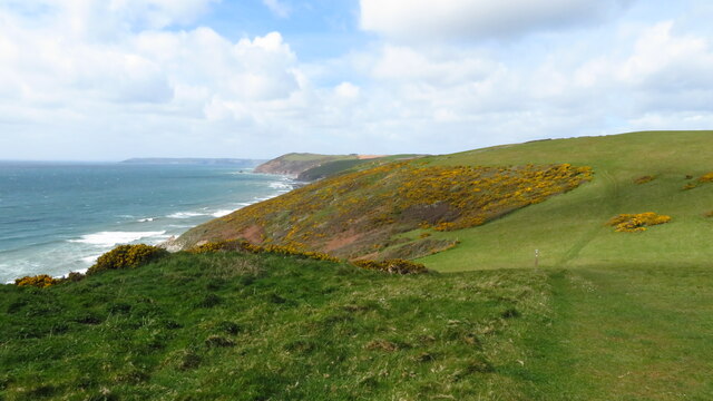
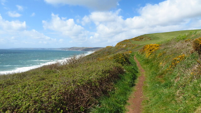
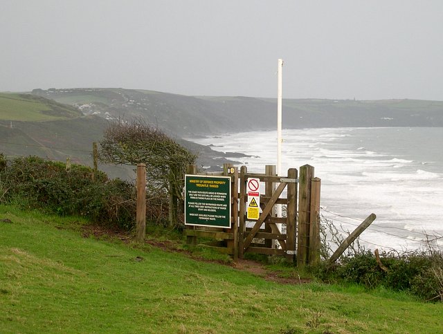
Black Ball Cliff is a prominent geological feature located along the coastline of Cornwall, England. This striking cliff is situated near the town of Perranporth, specifically on the northwestern edge of Perran Sands beach. Standing at an impressive height of approximately 200 feet (60 meters), it offers breathtaking views of the Atlantic Ocean.
The cliff derives its name from the black-colored rocks that form its composition. These rocks are predominantly made of basalt, a volcanic rock that was formed millions of years ago during ancient volcanic activity. Over time, erosion and weathering have shaped the cliff into its current dramatic form, exposing unique geological formations and layers.
Black Ball Cliff is renowned for its steep slope, making it a popular spot for thrill-seeking adventurers, rock climbers, and hikers. However, due to its challenging terrain and unstable nature, caution is advised when exploring the area. The cliff is best experienced from a safe distance, where visitors can admire its beauty and marvel at the forces of nature that have shaped it.
Aside from its geological significance, the cliff also holds historical importance. It is believed to have been a prominent landmark for sailors and fishermen navigating the treacherous waters off the coast of Cornwall. Its towering presence and distinctive features have made it a subject of fascination for locals and tourists alike.
Overall, Black Ball Cliff in Cornwall stands as a remarkable testament to the power of natural forces and serves as a stunning reminder of the region's geological and historical heritage.
If you have any feedback on the listing, please let us know in the comments section below.
Black Ball Cliff Images
Images are sourced within 2km of 50.359393/-4.2915261 or Grid Reference SX3753. Thanks to Geograph Open Source API. All images are credited.


Black Ball Cliff is located at Grid Ref: SX3753 (Lat: 50.359393, Lng: -4.2915261)
Unitary Authority: Cornwall
Police Authority: Devon and Cornwall
What 3 Words
///dream.rotations.sunbeam. Near Millbrook, Cornwall
Nearby Locations
Related Wikis

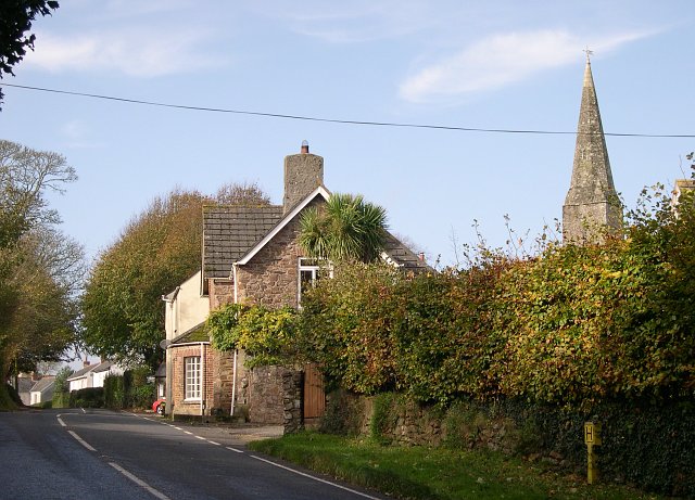
Crafthole
Crafthole is a village in the parish of Sheviock, in southeast Cornwall, England, UK. The village has a pub (Finnygook Inn), Post Office, shop, Methodist...
Portwrinkle
Portwrinkle (Cornish: Porthwykkel) is a small coastal village in south-east Cornwall, England, United Kingdom. It is at the western end of Whitsand Bay...

Sheviock
Sheviock (Cornish: Seviek, meaning strawberry bed) is a coastal civil parish and a hamlet in south-east Cornwall, England, United Kingdom. The parish is...

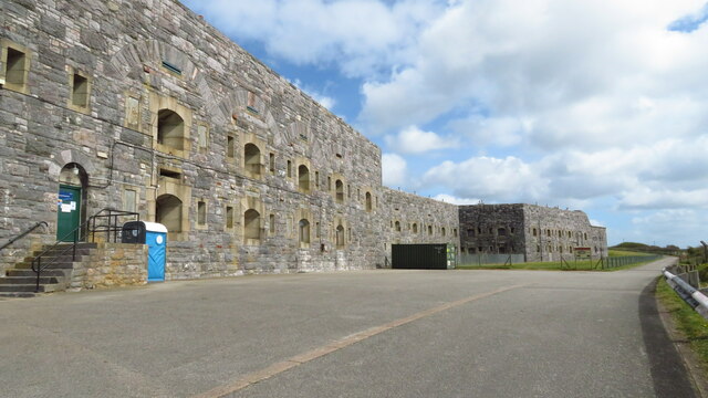
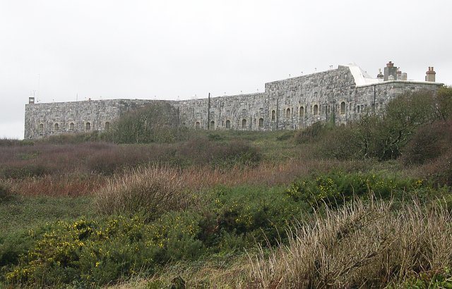
Tregantle Fort
Tregantle Fort in south east Cornwall is one of several forts surrounding Plymouth that were built as a result of a decision in Lord Palmerston's premiership...
Nearby Amenities
Located within 500m of 50.359393,-4.2915261Have you been to Black Ball Cliff?
Leave your review of Black Ball Cliff below (or comments, questions and feedback).