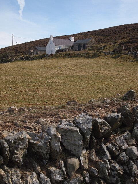
Braich Anelog
Cliff, Slope in Caernarfonshire
Wales
Braich Anelog
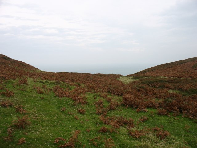
Braich Anelog is a prominent cliff and slope located in the county of Caernarfonshire, Wales. It is situated on the westernmost point of the Llŷn Peninsula, overlooking the Irish Sea. The name "Braich Anelog" translates to "Anelog Arm" in English, derived from the Welsh word "braich" meaning arm or promontory, and "Anelog" being the name of the nearby village.
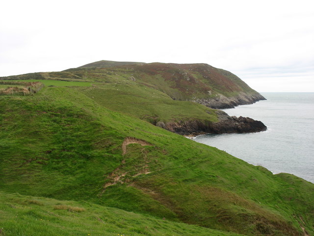
This natural formation boasts breathtaking views and is a popular destination for nature enthusiasts, hikers, and photographers. The cliff stands tall, reaching an approximate height of 150 meters (492 feet) above sea level. The rugged and steep slope of Braich Anelog provides a stark contrast against the surrounding landscape, adding to its allure.
The area surrounding Braich Anelog is known for its diverse flora and fauna. The cliff is home to various bird species, including choughs, peregrine falcons, and kestrels. Wildflowers, such as thrift and sea campion, add vibrant splashes of color to the rugged terrain.
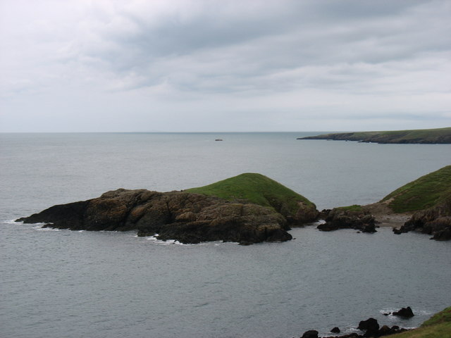
Visitors can enjoy breathtaking panoramic views of the Irish Sea, the St Tudwal's Islands, and the beautiful coastline. On clear days, the view extends as far as the mountains of Snowdonia National Park in the distance.
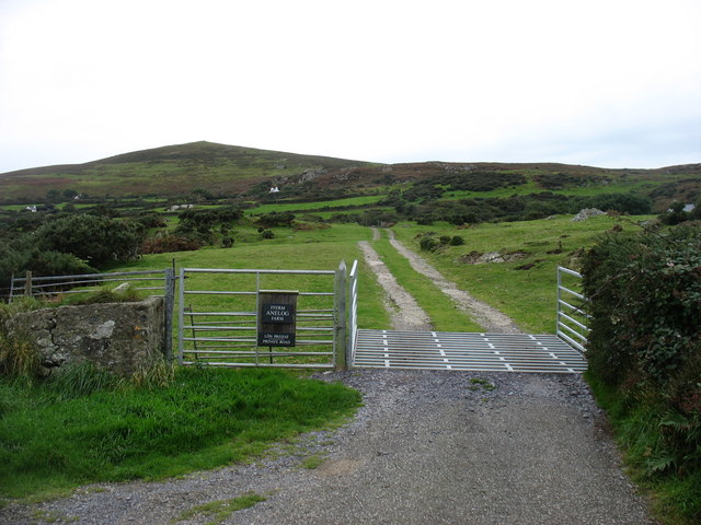
Braich Anelog offers a peaceful and serene environment, providing an excellent opportunity to connect with nature and escape from the hustle and bustle of everyday life. Whether it's taking leisurely walks along the cliff edge or simply admiring the dramatic scenery, Braich Anelog is a must-visit destination for anyone exploring the stunning Welsh coastline.
If you have any feedback on the listing, please let us know in the comments section below.
Braich Anelog Images
Images are sourced within 2km of 52.81535/-4.7511118 or Grid Reference SH1427. Thanks to Geograph Open Source API. All images are credited.


Braich Anelog is located at Grid Ref: SH1427 (Lat: 52.81535, Lng: -4.7511118)
Unitary Authority: Gwynedd
Police Authority: North Wales
What 3 Words
///enabling.storming.basic. Near Nefyn, Gwynedd
Nearby Locations
Related Wikis

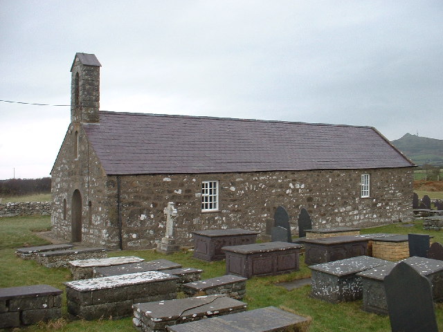
Aberdaron
Aberdaron (Welsh pronunciation: [abɛrˈdarɔn]) is a community, electoral ward and former fishing village at the western tip of the Llŷn Peninsula in the...

St Hywyn's Church, Aberdaron
The Church of St Hywyn, Aberdaron, Gwynedd, Wales, is a parish church dating from the 12th century. Its origins are earlier, as a clas church from the...

Bodferin
Bodferin is a former civil parish in the Welsh county of Gwynedd. It was abolished in 1934, and incorporated into Aberdaron. == References ==
Llanfaelrhys
Llanfaelrhys is a village and former civil parish in the Welsh county of Gwynedd, located on the Llŷn Peninsula. The parish was abolished in 1934 and...
Nearby Amenities
Located within 500m of 52.81535,-4.7511118Have you been to Braich Anelog?
Leave your review of Braich Anelog below (or comments, questions and feedback).