South Cliff
Cliff, Slope in Pembrokeshire
Wales
South Cliff

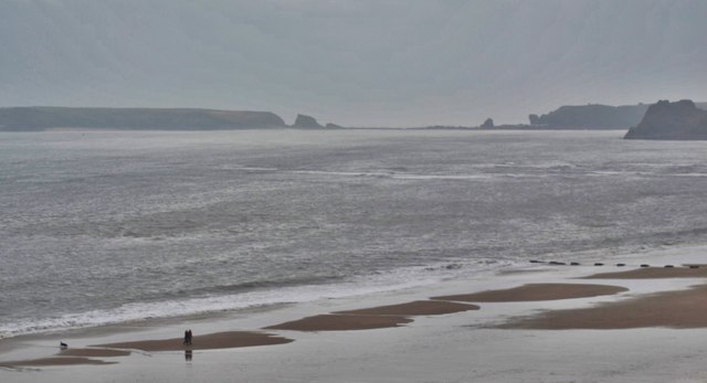
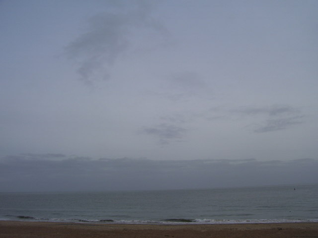
South Cliff is a prominent geographic feature located in the county of Pembrokeshire, Wales. It stretches along the southern coastline of the county, offering breathtaking views of the Irish Sea. This majestic cliff, with its sheer face and rugged terrain, is a popular destination for nature enthusiasts and hikers alike.
Standing at an impressive height, the South Cliff provides a stunning backdrop to the surrounding landscape. Its steep slope is covered in lush green vegetation, adding to its natural beauty. The cliff is composed of sedimentary rocks, which have been shaped by years of erosion from the crashing waves below. This erosion has created caves, arches, and other unique geological formations that attract visitors from far and wide.
The South Cliff is not only visually captivating, but it is also home to a diverse range of wildlife. Peregrine falcons, fulmars, and other seabirds can often be spotted nesting among the cliff's crevices. The coastal waters nearby are teeming with marine life, including seals, dolphins, and various species of fish.
For those seeking adventure, the South Cliff offers opportunities for rock climbing and abseiling. There are designated paths and trails that allow visitors to explore the cliff safely, providing an exhilarating experience for outdoor enthusiasts.
South Cliff, Pembrokeshire, is a natural wonder that showcases the raw beauty of Wales' coastline. Its dramatic cliffs, stunning vistas, and abundant wildlife make it a must-visit destination for anyone seeking to immerse themselves in nature's grandeur.
If you have any feedback on the listing, please let us know in the comments section below.
South Cliff Images
Images are sourced within 2km of 51.669735/-4.6987809 or Grid Reference SN1300. Thanks to Geograph Open Source API. All images are credited.


South Cliff is located at Grid Ref: SN1300 (Lat: 51.669735, Lng: -4.6987809)
Unitary Authority: Pembrokeshire
Police Authority: Dyfed Powys
What 3 Words
///spending.strange.pixel. Near Tenby, Pembrokeshire
Related Wikis
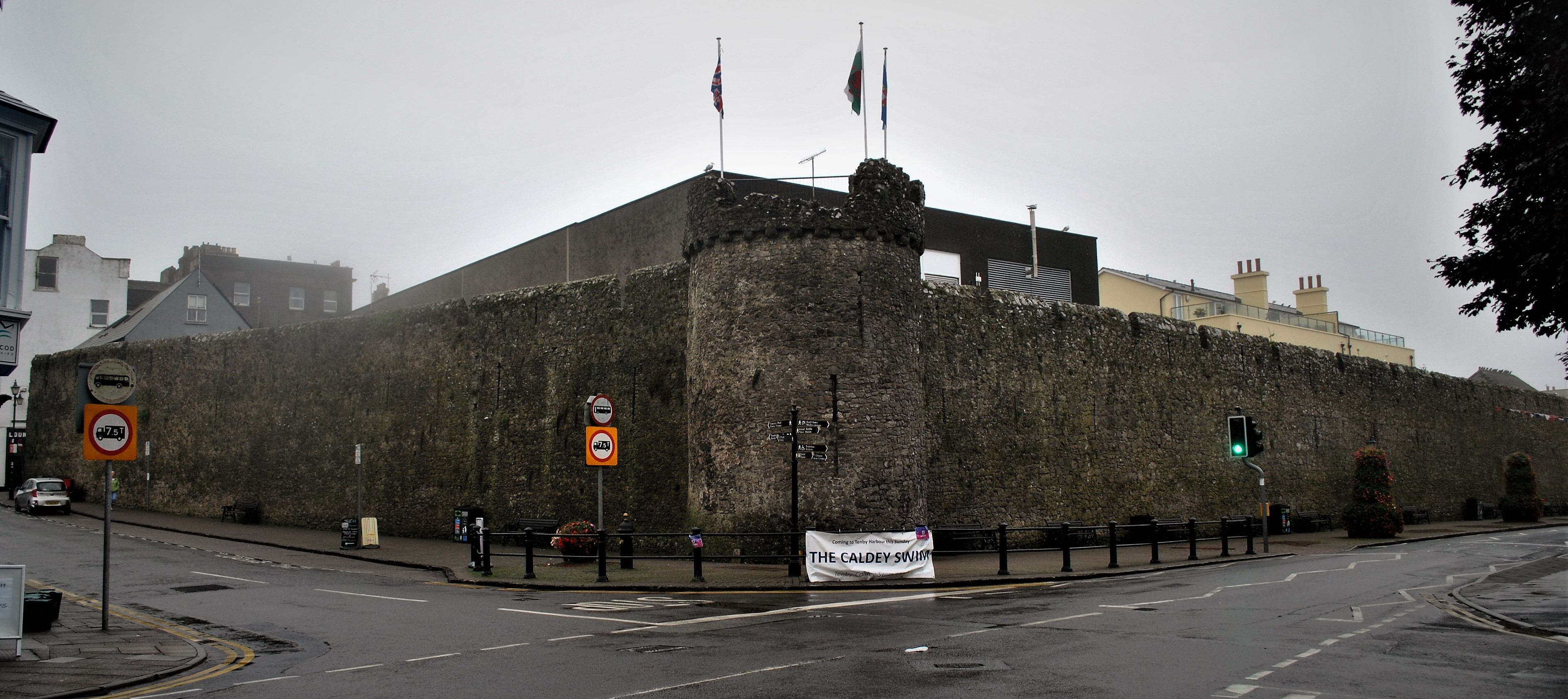
Tenby town walls
The Tenby town walls are Grade I-listed medieval defensive structures around the town of Tenby in Pembrokeshire. They are assessed as one of the most important...
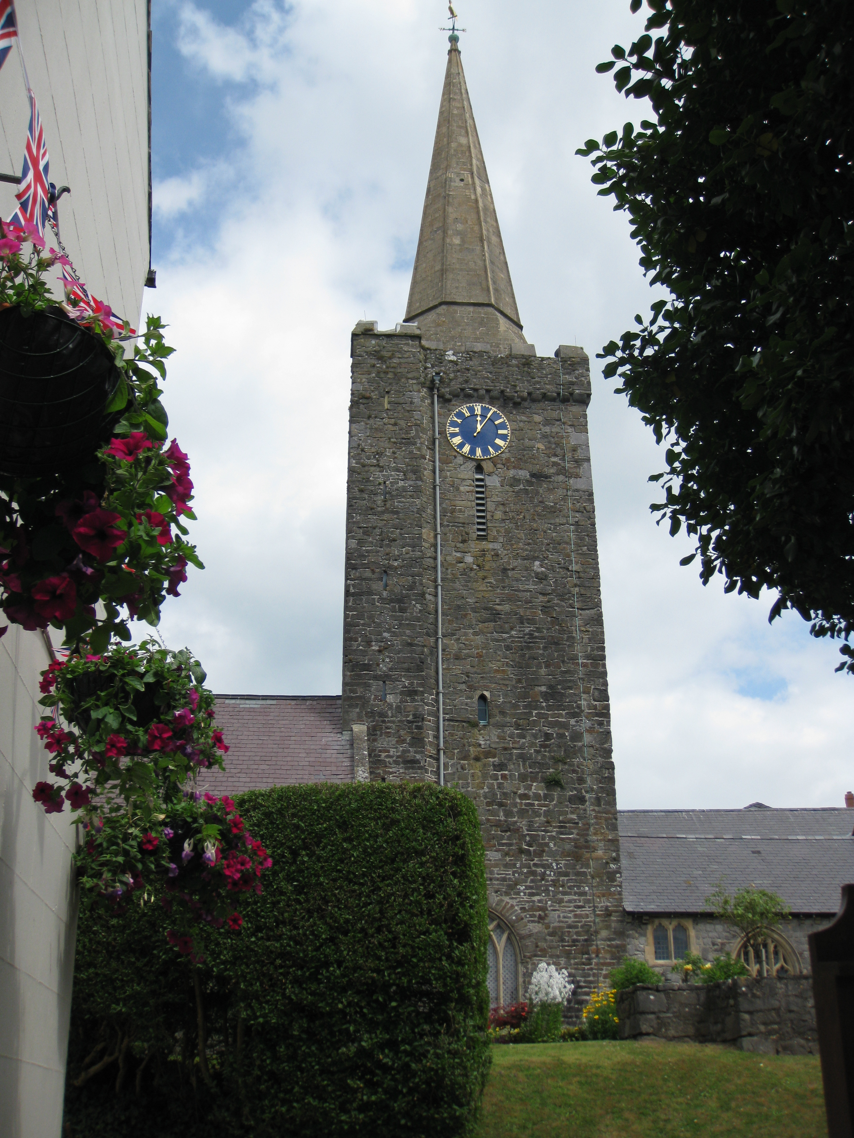
St Mary's Church, Tenby
St Mary's Church, Tenby is a church located in the centre of the town of Tenby in Pembrokeshire, western Wales. The church is in the Diocese of Saint David...

Cobourg Hotel
Cobourg Hotel was a hotel in Tenby, Pembrokeshire, Wales, situated at the northwest of the High Street, where it joins Crackwell Street. Though an inn...
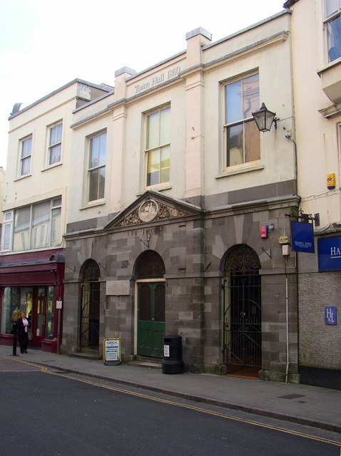
Tenby Town Hall
Tenby Town Hall (Welsh: Neuadd y Dref Dinbych-y-pysgod) is a municipal building in the High Street, Tenby, Pembrokeshire, Wales. The structure, which is...
Nearby Amenities
Located within 500m of 51.669735,-4.6987809Have you been to South Cliff?
Leave your review of South Cliff below (or comments, questions and feedback).