Lower Cliff
Cliff, Slope in Pembrokeshire
Wales
Lower Cliff
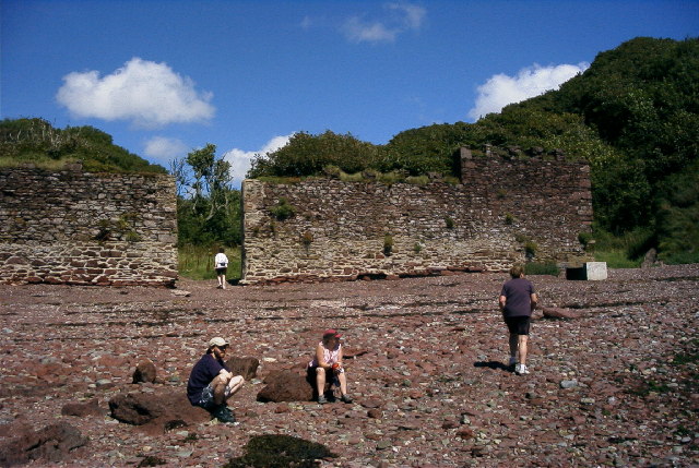
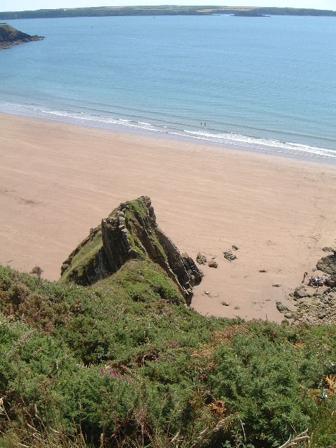
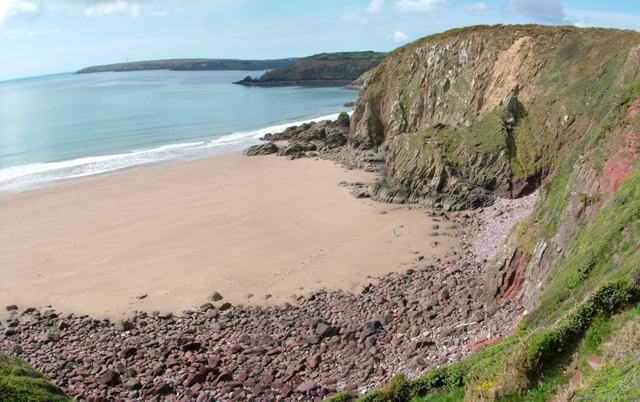
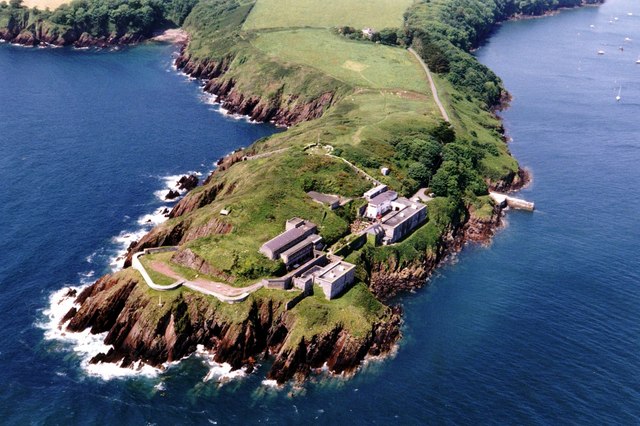
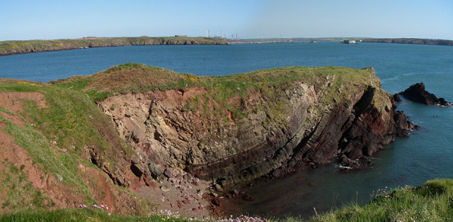
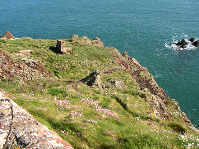
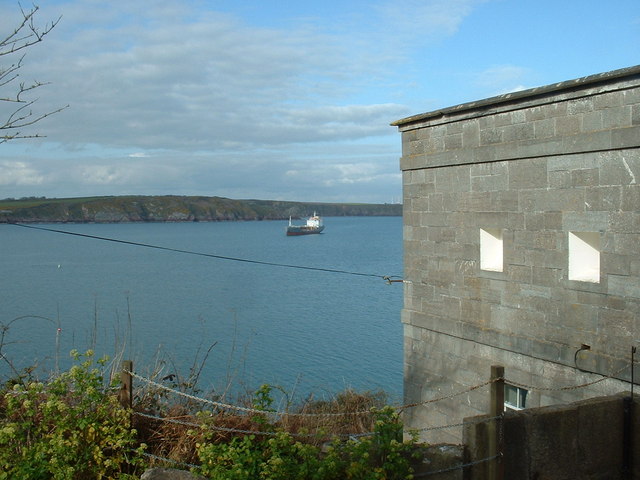
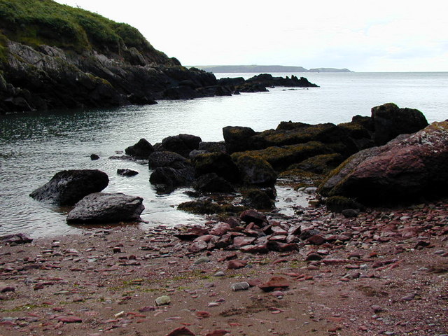
Lower Cliff is a prominent geographical feature located in Pembrokeshire, a county in southwestern Wales. It is a rugged and dramatic cliff that stretches along the coastline, offering breathtaking views of the surrounding area. The cliff is composed of various rock formations, including sandstone and shale, which have been shaped by millions of years of erosion by the powerful waves of the Atlantic Ocean.
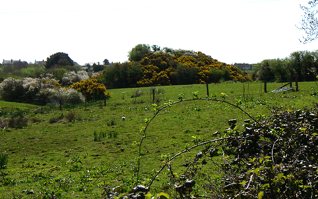
The lower section of the cliff is characterized by a steep slope that descends towards the sea. This slope is covered in lush vegetation, such as grasses, heather, and wildflowers, providing a beautiful contrast against the ruggedness of the cliff face. The slope is also home to a diverse range of wildlife, including seabirds, nesting in the crevices, and occasionally seals and dolphins can be spotted offshore.
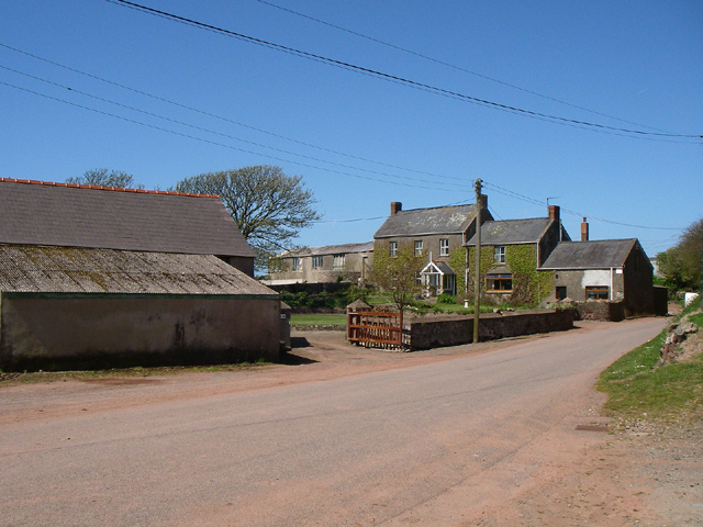
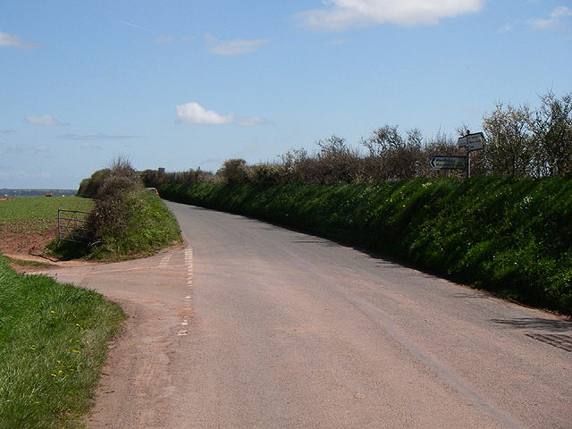
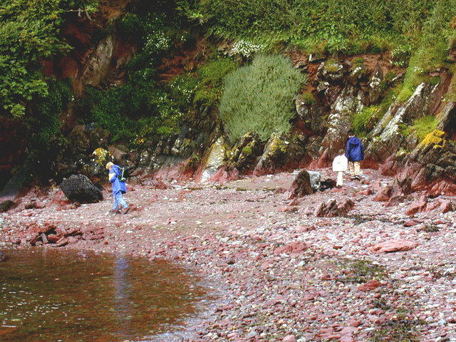
The Lower Cliff is a popular destination for nature enthusiasts, hikers, and photographers due to its stunning natural beauty and the opportunities it offers for outdoor activities. There are several walking trails that wind along the cliff, providing visitors with the chance to explore the area while enjoying panoramic views of the sea and the coastline.
It is important to note that the Lower Cliff can be dangerous, particularly during stormy weather or high tides, as powerful waves can crash against the rocks and make certain areas inaccessible or hazardous. Visitors are advised to exercise caution and stay within designated safe areas.
Overall, Lower Cliff is a captivating natural landmark that showcases the raw beauty of Pembrokeshire's coastline and provides a unique experience for those who visit.
If you have any feedback on the listing, please let us know in the comments section below.
Lower Cliff Images
Images are sourced within 2km of 51.716977/-5.1285759 or Grid Reference SM8306. Thanks to Geograph Open Source API. All images are credited.


Lower Cliff is located at Grid Ref: SM8306 (Lat: 51.716977, Lng: -5.1285759)
Unitary Authority: Pembrokeshire
Police Authority: Dyfed Powys
What 3 Words
///surprised.suggested.flash. Near Herbrandston, Pembrokeshire
Nearby Locations
Related Wikis

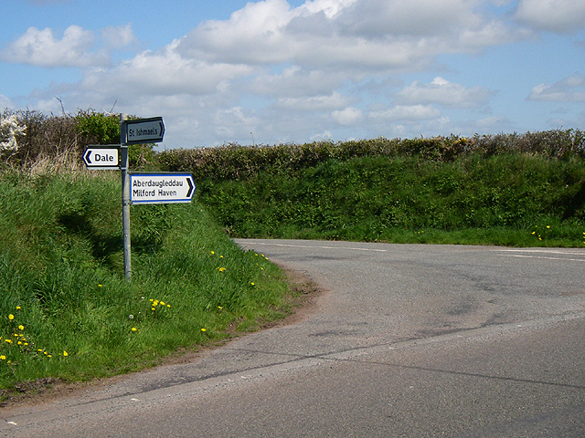
St Ishmaels
St Ishmaels or St Ishmael's (Welsh: Llanismel) is a village, parish and community close to the Milford Haven Waterway in Pembrokeshire, Wales. The community...

Milford Haven Waterway
Milford Haven Waterway (Welsh: Dyfrffordd Aberdaugleddau) is a natural harbour in Pembrokeshire, Wales. It is a ria or drowned valley which was flooded...

Dale Fort
Dale Fort is a mid-19th-century coastal artillery fort at Dale Head, a rocky promontory near Dale, Pembrokeshire, west of Milford Haven in Wales. It is...

Hasguard
Hasguard is a parish northwest of the town of Milford Haven in Pembrokeshire, Wales. The name applies to several other locations: Upper and Middle Hasguard...
Nearby Amenities
Located within 500m of 51.716977,-5.1285759Have you been to Lower Cliff?
Leave your review of Lower Cliff below (or comments, questions and feedback).