Creag na h-Iolaire
Cliff, Slope in Ross-shire
Scotland
Creag na h-Iolaire

Creag na h-Iolaire, located in Ross-shire, Scotland, is a prominent cliff or slope that offers breathtaking views and holds historical significance. The name "Creag na h-Iolaire" translates to "Rock of the Eagle," which reflects the area's natural beauty and wildlife.
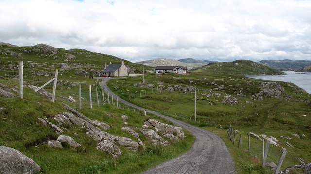
Rising majestically from the surrounding landscape, Creag na h-Iolaire is made up of rugged rock formations and steep slopes. It stands as a prominent landmark in the region, attracting both hikers and nature enthusiasts. The cliff offers a challenging terrain for experienced climbers, presenting opportunities for thrilling adventures.
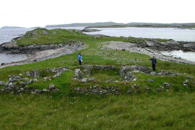
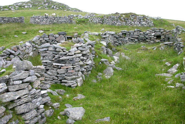
The site is known not only for its awe-inspiring natural beauty but also for its historical significance. Creag na h-Iolaire played a crucial role during World War I, specifically on New Year's Day in 1919. The ship HMS Iolaire, carrying sailors who had survived the war, tragically sank near the cliff, resulting in the loss of more than 200 lives. To this day, the site serves as a memorial to commemorate the lives lost in this devastating event.
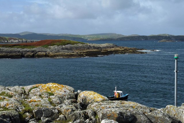
Visitors to Creag na h-Iolaire can enjoy panoramic views of the surrounding Scottish Highlands, with its rolling hills and shimmering lochs. The area is home to a diverse range of flora and fauna, including various bird species, such as eagles and falcons, which can often be seen soaring above the cliffs.
Overall, Creag na h-Iolaire offers a unique combination of natural beauty and historical significance, making it a must-visit destination for those seeking both outdoor adventure and a glimpse into Scotland's past.
If you have any feedback on the listing, please let us know in the comments section below.
Creag na h-Iolaire Images
Images are sourced within 2km of 58.208095/-6.8956759 or Grid Reference NB1234. Thanks to Geograph Open Source API. All images are credited.


![Riof [Reef], west Lewis. Looking across the inner reaches of Loch Rog towards the island of Flodday and the hills of west Lewis.](https://s3.geograph.org.uk/photos/50/67/506799_d8968d32.jpg)


Creag na h-Iolaire is located at Grid Ref: NB1234 (Lat: 58.208095, Lng: -6.8956759)
Unitary Authority: Na h-Eileanan an Iar
Police Authority: Highlands and Islands
What 3 Words
///delusions.posts.suits. Near Carloway, Na h-Eileanan Siar
Nearby Locations
Related Wikis

Fuaigh Mòr
Fuaigh Mòr (sometimes anglicised as Vuia Mor) is an island in the Outer Hebrides of Scotland. It is off the west coast of Lewis near Great Bernera in...
Loch Ròg
Loch Ròg or Loch Roag is a large sea loch on the west coast of Lewis, Outer Hebrides. It is broadly divided into East Loch Roag and West Loch Roag with...
Fuaigh Beag
Fuaigh Beag or Vuia Be(a)g is an island in the Outer Hebrides. It is off the west coast of Lewis near Great Bernera in Loch Roag. Its name means "little...

Loch na Berie
Loch Na Berie is a broch in the Outer Hebrides of Scotland, located approximately 400 yards from the shore, and is thought to have been located on an island...

Vacsay
Vacsay (Scottish Gaelic: Bhacsaigh from Old Norse "bakkiey" meaning "peat bank island") is one of the Outer Hebrides. It is off the west coast of Lewis...
Flodaigh, Lewis
Flodaigh is a small island in Loch Roag on the west coast of Lewis in the Outer Hebrides of Scotland. It is about 33 hectares (82 acres) in extent and...

Dun Bharabhat, Great Bernera
Dun Bharabhat (or Dun Baravat) is an Iron Age galleried dun or "semi-broch" situated on the island of Great Bernera near Lewis in Scotland (grid reference...

Kneep
Kneep (Scottish Gaelic: Cnìp) is a village on the Isle of Lewis, in the Outer Hebrides, Scotland. Kneep is within the parish of Uig.Various archaeological...
Have you been to Creag na h-Iolaire?
Leave your review of Creag na h-Iolaire below (or comments, questions and feedback).