Silver Carn

Cliff, Slope in Cornwall

England

Silver Carn

Plum Island Tresco View Across New Grimsby Harbour to Plum island  with the island of Bryher in the background and King Henry's Castle on the extreme right.
Plum Island Tresco Credit: Nigel Mykura

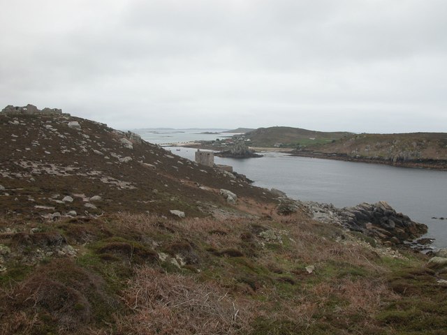
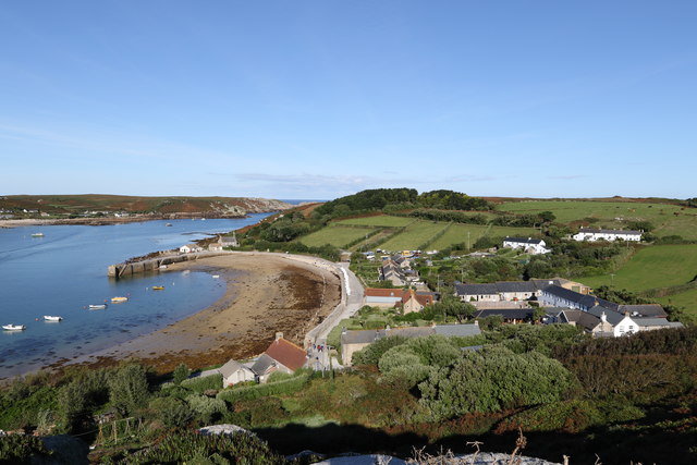
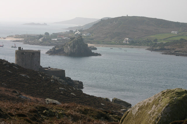
Silver Carn is a prominent cliff and slope located in Cornwall, England. Situated on the rugged coastline of the Atlantic Ocean, it offers breathtaking views and is known for its natural beauty. The cliff is part of the larger Carn Brea range and stands at an impressive height, commanding attention from both land and sea.

Silver Carn is characterized by its distinct silver-gray color, which is a result of the unique composition of the rock formations found in the area. The cliff is composed primarily of slate and shale, giving it a striking appearance that is further enhanced by the interplay of light and shadow.

The slope of Silver Carn is known to be steep and challenging, attracting outdoor enthusiasts and adventure seekers alike. It offers an exhilarating experience for hikers and climbers, who can test their skills while enjoying the stunning scenery. However, it is important to exercise caution as the terrain can be unpredictable and slippery, particularly during wet weather.

Aside from its natural allure, Silver Carn is home to a variety of wildlife and plant species. Visitors might spot seabirds soaring above the cliff, including gulls and cormorants, while seals and dolphins can sometimes be seen frolicking in the waters below. The surrounding area is also abundant in heathland and coastal flora, adding to the overall beauty of the landscape.

Overall, Silver Carn in Cornwall is a remarkable destination that offers a unique combination of natural beauty, adventure, and wildlife. Whether one chooses to admire it from afar or explore its slopes, it promises an unforgettable experience for nature lovers and outdoor enthusiasts.

If you have any feedback on the listing, please let us know in the comments section below.
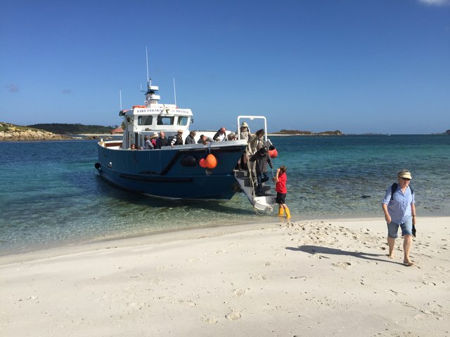
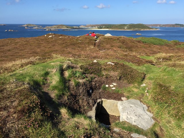
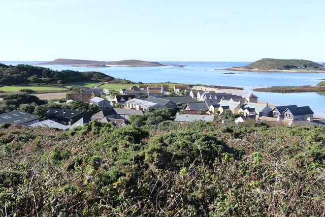
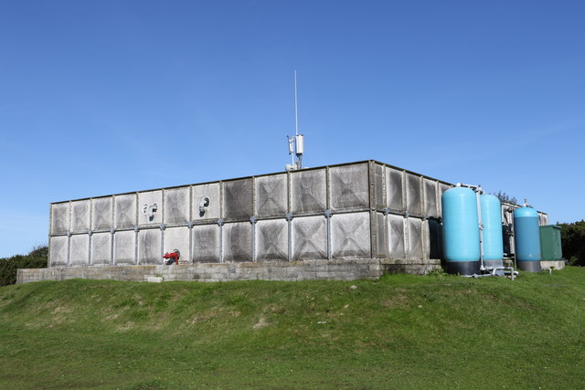
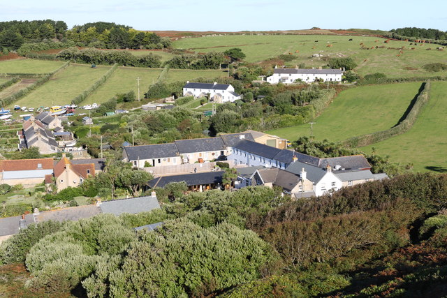
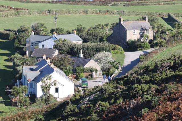
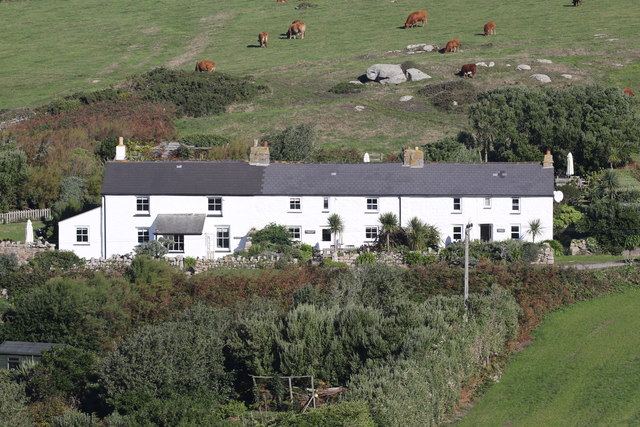
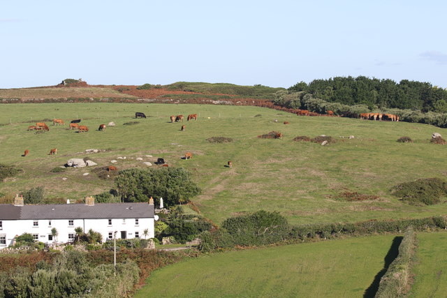
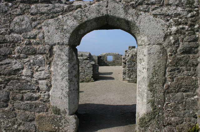
Silver Carn Images

Images are sourced within 2km of 49.951231/-6.3621804 or Grid Reference SV8714. Thanks to Geograph Open Source API. All images are credited.

Plum Island Tresco View Across New Grimsby Harbour to Plum island  with the island of Bryher in the background and King Henry's Castle on the extreme right.
Plum Island Tresco
View Across New Grimsby Harbour to Plum island with the island of Bryher in the background and King Henry's Castle on the extreme right.
A misty day on Bryher Not such a good day, weather wise as the mist was down over the island most of the day. This dull view is looking towards Hell Bay Hotel.
A misty day on Bryher
Not such a good day, weather wise as the mist was down over the island most of the day. This dull view is looking towards Hell Bay Hotel.
Shore , North Tresco Taken during a walk around northern part of Tresco
Shore , North Tresco
Taken during a walk around northern part of Tresco
Alighting on Samson Firethorn dropping off visitors to Samson.
Alighting on Samson
Firethorn dropping off visitors to Samson.
Cairns on North Hill Burial chambers on North Hill, Samson
Cairns on North Hill
Burial chambers on North Hill, Samson
Rainbow between Tresco and Bryher Looking north towards Plumb Island
Rainbow between Tresco and Bryher
Looking north towards Plumb Island
Bracken above the Flying Boat Club On Tresco
Bracken above the Flying Boat Club
On Tresco
Water tanks Providing most of the fresh water for Tresco
Water tanks
Providing most of the fresh water for Tresco
New Grimsby Harbour From the hill overlooking the harbour
New Grimsby Harbour
From the hill overlooking the harbour
The New Inn and New Grimsby On the west side of Tresco
The New Inn and New Grimsby
On the west side of Tresco
Firethorn of Tresco Boat Services Collecting passengers for a trip to the Northern Rocks and St Agnes
Firethorn of Tresco Boat Services
Collecting passengers for a trip to the Northern Rocks and St Agnes
Townshill cottages Properties on the top of Townshill
Townshill cottages
Properties on the top of Townshill
Three cottages painted white as a daymark Dial Rocks, Coastguards and North End cottages
Three cottages painted white as a daymark
Dial Rocks, Coastguards and North End cottages
Osprey in front of Merrick Island In the channel between Tresco and Bryher
Osprey in front of Merrick Island
In the channel between Tresco and Bryher
Tresco Beef Cattle grazing in the fields above New Grimsby
Tresco Beef
Cattle grazing in the fields above New Grimsby
Grazing by the pool A horse grazing by the Great Pool on Tresco
Grazing by the pool
A horse grazing by the Great Pool on Tresco
Cromwell's Tower and Bryher A view of Cromwell's Tower looking into the sun, hence the washed out appearance of the image.
Cromwell's Tower and Bryher
A view of Cromwell's Tower looking into the sun, hence the washed out appearance of the image.
Door and window view A view through Cromwell's Castle.
Door and window view
A view through Cromwell's Castle.
Show me another place!

Silver Carn is located at Grid Ref: SV8714 (Lat: 49.951231, Lng: -6.3621804)

Division: Isles of Scilly

Unitary Authority: Isles of Scilly

Police Authority: Devon and Cornwall

What 3 Words

///clattered.hurtles.fine. Near Bryher, Isles of Scilly

Related Wikis

Bryher

Bryher (Cornish: Breyer, lit. 'place of hills') is one of the smallest inhabited islands of the Isles of Scilly, with a population of 84 in 2011, spread...

Gweal, Isles of Scilly

Gweal ( GWEEL; Cornish: Gwydhyel, lit. 'place of trees') is one of the Isles of Scilly. It is the largest of the seven Norrard Rocks due west of Bryher...

Norrard Rocks

The Norrard (Northern) Rocks are a group of small uninhabited granite rocks in the north–western part of the Isles of Scilly, to the west of Bryher and...

All Saints' Church, Bryher

All Saints' Church is a Grade II listed parish church in the Church of England located in Bryher, Isles of Scilly. == History == Bryher is the most westerly...

Nearby Amenities

Located within 500m of 49.951231,-6.3621804
Source: PGS
Lat/Long: 49.9507418/-6.3582623
Source: PGS
Lat/Long: 49.9502663/-6.3594427
Source: PGS
Lat/Long: 49.9516781/-6.3609096
Source: PGS
Lat/Long: 49.9505645/-6.3596076
Source: PGS
Lat/Long: 49.9496055/-6.3564328
Source: PGS
Lat/Long: 49.9504502/-6.3582811
Source: PGS
Lat/Long: 49.9505874/-6.3588484
Source: PGS
Lat/Long: 49.9545748/-6.3588966
Source: PGS
Lat/Long: 49.953743/-6.3588309
Source: PGS
Lat/Long: 49.9551253/-6.3591528
Hell Bay Hotel
Tourism: hotel
Website: https://www.hellbay.co.uk/
Lat/Long: 49.9516201/-6.3574089
Source: PGS
Lat/Long: 49.9496149/-6.3562436
Source: PGS
Lat/Long: 49.9503259/-6.3568993
Popplestone Neck
Natural: bay
Lat/Long: 49.9542642/-6.3622783
Great Porth
Natural: bay
Lat/Long: 49.9492944/-6.3581168
Wether's Carn
Place: locality
Lat/Long: 49.9508534/-6.3630635
Stoneship Porth
Natural: bay
Lat/Long: 49.9476225/-6.3621398
Gweal Hill
Natural: peak
Lat/Long: 49.9527041/-6.3631547
The data included in this document is from www.openstreetmap.org. The data is made available under ODbL.

Have you been to Silver Carn?

Leave your review of Silver Carn below (or comments, questions and feedback).