Gore Point

Coastal Feature, Headland, Point in Norfolk King's Lynn and West Norfolk

England

Gore Point

Horse riders approaching Holmes Dunes
Horse riders approaching Holmes Dunes Credit: Basher Eyre

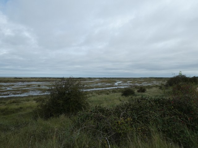
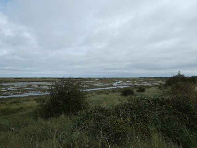
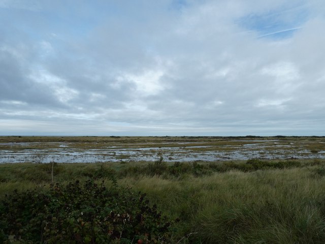
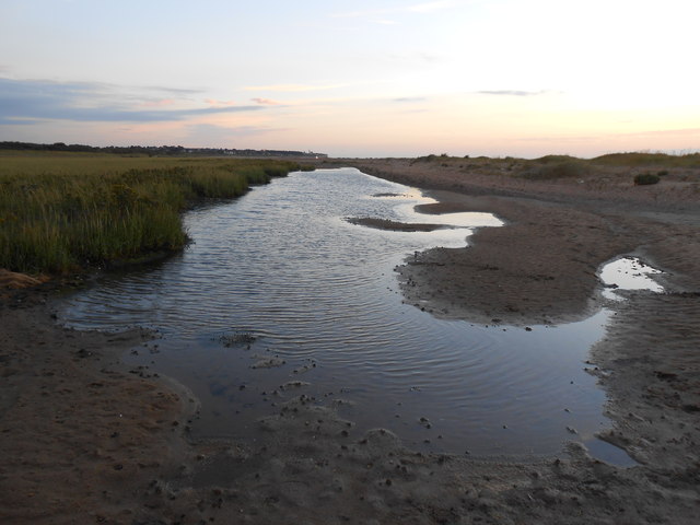
Gore Point is a prominent headland located in Norfolk, England. Situated on the country's east coast, it forms part of the larger Norfolk Coast Area of Outstanding Natural Beauty. The point juts out into the North Sea, offering stunning views of the surrounding coastline and the open waters beyond.

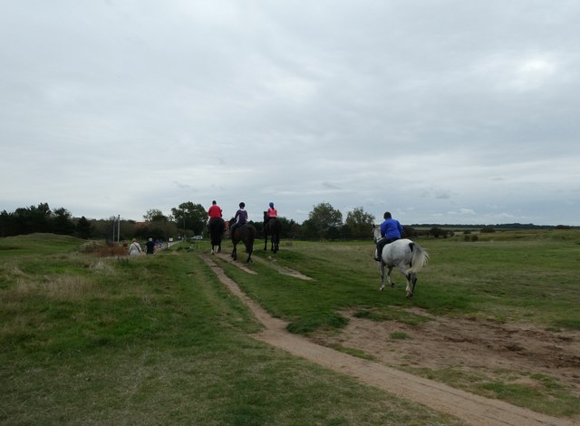
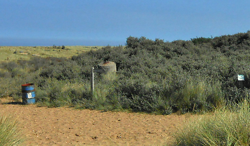
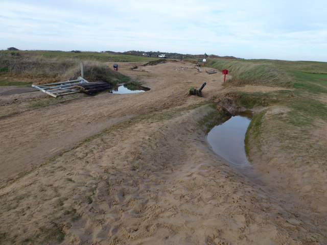
Characterized by its rugged cliffs and rocky shoreline, Gore Point is a popular destination for nature enthusiasts and hikers. The headland is known for its diverse flora and fauna, with various species of seabirds, such as gulls and cormorants, frequently nesting on the cliffs. Visitors can often spot seals basking on the nearby sandbanks and occasionally dolphins swimming in the distance.

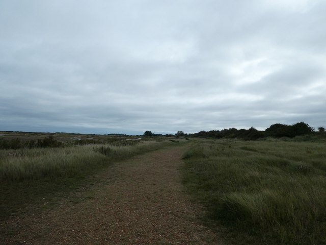
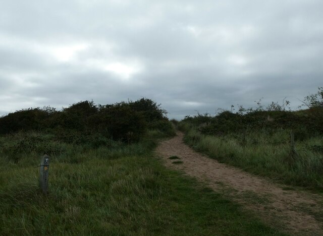
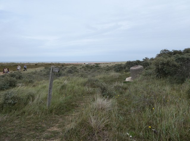
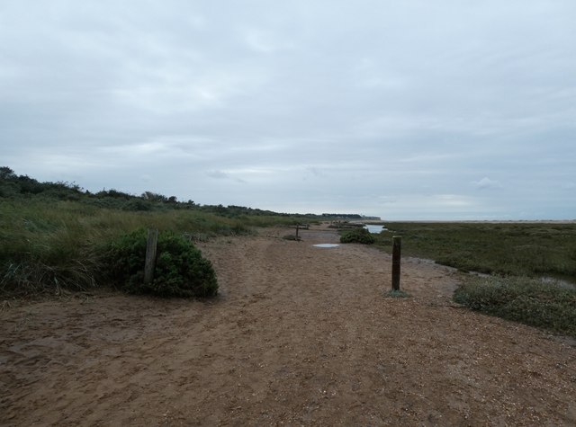
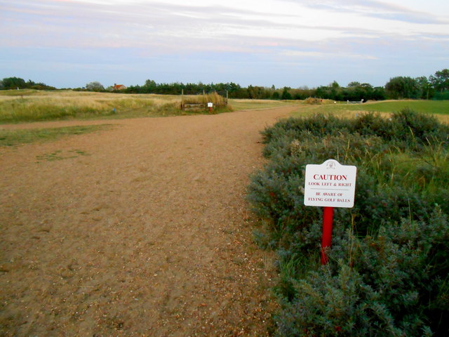
Access to Gore Point is relatively easy, as there are well-maintained footpaths leading from nearby coastal villages. The headland also features a small car park for those who prefer to drive. The area is particularly renowned for its coastal walks, which provide breathtaking views of the rugged coastline and the vast expanse of the North Sea.

In addition to its natural beauty, Gore Point has historical significance. The headland was once a strategic location for coastal defenses during World War II, with remnants of military structures still visible today. This adds an extra layer of interest for history enthusiasts and those interested in wartime heritage.

Overall, Gore Point is a picturesque and historically significant headland in Norfolk, offering visitors a unique opportunity to experience the beauty of the Norfolk Coast and immerse themselves in its natural and cultural heritage.

If you have any feedback on the listing, please let us know in the comments section below.
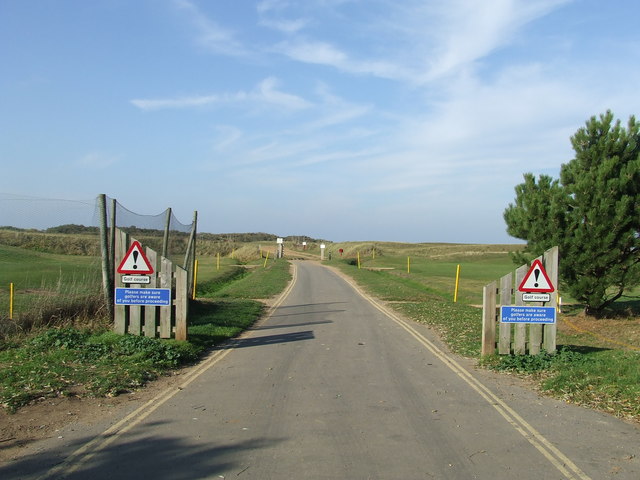
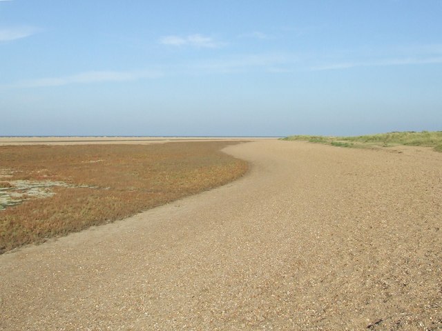
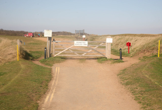
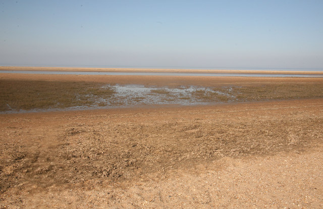
Gore Point Images

Images are sourced within 2km of 52.973558/0.53667198 or Grid Reference TF7044. Thanks to Geograph Open Source API. All images are credited.

Horse riders approaching Holmes Dunes
The foreshore seen from the Norfolk Coast Path Holme Dunes <span class="nowrap"><a title="https://www.norfolkwildlifetrust.org.uk/wildlife-in-norfolk/nature-reserves/reserves/holme-dunes" rel="nofollow ugc noopener" href="https://www.norfolkwildlifetrust.org.uk/wildlife-in-norfolk/nature-reserves/reserves/holme-dunes">Link</a><img style="margin-left:2px;" alt="External link" title="External link - shift click to open in new window" src="https://s1.geograph.org.uk/img/external.png" width="10" height="10"/></span>
The foreshore seen from the Norfolk Coast Path
Holme Dunes LinkExternal link
Norfolk Coast Path: Flaxley to Brancaster (1) And we're off
Norfolk Coast Path: Flaxley to Brancaster (1)
And we're off
Norfolk Coast Path: Flaxley to Brancaster (2) Heading from the car park to the foreshore
Norfolk Coast Path: Flaxley to Brancaster (2)
Heading from the car park to the foreshore
Norfolk Coast Path: Flaxley to Brancaster (3) The foreshore at Flaxley
Norfolk Coast Path: Flaxley to Brancaster (3)
The foreshore at Flaxley
Norfolk Coast Path: Flaxley to Brancaster (4) Looking out into The Wash <span class="nowrap"><a title="https://en.wikipedia.org/wiki/The_Wash" rel="nofollow ugc noopener" href="https://en.wikipedia.org/wiki/The_Wash">Link</a><img style="margin-left:2px;" alt="External link" title="External link - shift click to open in new window" src="https://s1.geograph.org.uk/img/external.png" width="10" height="10"/></span>
Norfolk Coast Path: Flaxley to Brancaster (4)
Looking out into The Wash LinkExternal link
Spigot mortar emplacement, Holme Beach
Holme Beach: late September 2023
Groynes on Holme Beach
Caution Golf Course Warning signs for footpath users of flying golf balls near to Holme Next The Sea, Norfolk.
Caution Golf Course
Warning signs for footpath users of flying golf balls near to Holme Next The Sea, Norfolk.
Lots Of Sand The beach at Holme Next The Sea, Norfolk.
Lots Of Sand
The beach at Holme Next The Sea, Norfolk.
End of the Road Beach road ends here one has to walk over part of the Golf Course to reach the coast.
End of the Road
Beach road ends here one has to walk over part of the Golf Course to reach the coast.
Looking out towards the sea
Holme-next-the-Sea, Hunstanton Golf Course: strange war relic? View NE on beach - past Golf Course. It seems to be an object left from World War Two defences - what is it?
Holme-next-the-Sea, Hunstanton Golf Course: strange war relic?
View NE on beach - past Golf Course. It seems to be an object left from World War Two defences - what is it?
Flying Golf Balls At this point close to the seaside sand dunes part of The Pedlars Way long distance path crosses the local golf course fairway and there is a sign that reads
CAUTION
LOOK LEFT & RIGHT
BE AWARE OF FLYING GOLF BALLS

At the top of the sign is the coat of arms and name of Hunstanton.
Flying Golf Balls
At this point close to the seaside sand dunes part of The Pedlars Way long distance path crosses the local golf course fairway and there is a sign that reads CAUTION LOOK LEFT & RIGHT BE AWARE OF FLYING GOLF BALLS At the top of the sign is the coat of arms and name of Hunstanton.
Tidal Pool The sand dunes on this coast are deposited by currents flowing westward round the north Norfolk Coast. This results in the dunes having a long linear structure parallel to the coast and tidal pools sometimes form in between the linear ridges. The coast appears to be growing in size as the sand is deposited. In the far distance can be seen the town of Hunstanton.
Tidal Pool
The sand dunes on this coast are deposited by currents flowing westward round the north Norfolk Coast. This results in the dunes having a long linear structure parallel to the coast and tidal pools sometimes form in between the linear ridges. The coast appears to be growing in size as the sand is deposited. In the far distance can be seen the town of Hunstanton.
Sand and Shell Sculpture Earlier in the day a very patient unknown person had carefully built a circle of shells that took the appearance of a neolithic stone circle. They has constructed it from old razor shells and the wind had blown away all trace of hand or footprints and softened the outline.
Sand and Shell Sculpture
Earlier in the day a very patient unknown person had carefully built a circle of shells that took the appearance of a neolithic stone circle. They has constructed it from old razor shells and the wind had blown away all trace of hand or footprints and softened the outline.
Flood damage at Hunstanton Golf Course The entire Norfolk coast was battered by a 1 in 60 year tidal surge on the night of Thursday 5th December 2013. A combination of a spring tide, 60 mph winds and a North Sea tidal surge caused the highest tides in over 60 years. The sand dune bank in this area was breached allowing the sea water to flood the golf course and wash away the road and public footpath over the course. It used to look like this <a title="https://www.geograph.org.uk/photo/2847729" href="https://www.geograph.org.uk/photo/2847729">Link</a>
Flood damage at Hunstanton Golf Course
The entire Norfolk coast was battered by a 1 in 60 year tidal surge on the night of Thursday 5th December 2013. A combination of a spring tide, 60 mph winds and a North Sea tidal surge caused the highest tides in over 60 years. The sand dune bank in this area was breached allowing the sea water to flood the golf course and wash away the road and public footpath over the course. It used to look like this Link
Show me another place!

Gore Point is located at Grid Ref: TF7044 (Lat: 52.973558, Lng: 0.53667198)

Administrative County: Norfolk

District: King's Lynn and West Norfolk

Police Authority: Norfolk

What 3 Words

///affair.grudges.treetop. Near Hunstanton, Norfolk

Nearby Locations

West Sands Gore Point

Related Wikis

Holme Dunes

Holme Dunes is a 192-hectare (470-acre) nature reserve near Holme-next-the-Sea in Norfolk. It is managed by the Norfolk Wildlife Trust, and is a National...

Seahenge

Seahenge, also known as Holme I, was a prehistoric monument located in the village of Holme-next-the-Sea, near Old Hunstanton in the English county of...

St Mary's Church, Holme-next-the-Sea

St Mary's Church is the parish church of Holme-next-the-Sea in the English county of Norfolk. It is dedicated to the Virgin Mary. The church is partly...

Holme-next-the-Sea

Holme-next-the-Sea is a small village and civil parish in the English county of Norfolk. It is situated on the north Norfolk coast some 5 km north-east...

Nearby Amenities

Located within 500m of 52.973558,0.53667198
Source: PGS
Lat/Long: 52.9718186/0.5341117
Source: PGS
Lat/Long: 52.9714806/0.5329732
Source: PGS
Lat/Long: 52.9712199/0.5321723
Source: PGS
Lat/Long: 52.970753/0.5311597
Fixme: Where does FP 1 go from here?
Lat/Long: 52.9713024/0.5380199
Source: Bing
Lat/Long: 52.9737066/0.5327372
Source: Bing
Lat/Long: 52.9752855/0.5430699
Source: Bing
Lat/Long: 52.9707837/0.5358136
Source: Bing
Lat/Long: 52.9748058/0.5385343
Source: Bing
Lat/Long: 52.9706043/0.5360797
Source: Bing
Lat/Long: 52.9699861/0.5336045
Source: Bing
Lat/Long: 52.9741264/0.5343709
Source: Bing
Lat/Long: 52.9705057/0.5356666
Source: Bing
Lat/Long: 52.9710683/0.5360915
Source: Bing
Lat/Long: 52.9731059/0.5310101
Source: Bing
Lat/Long: 52.9714014/0.5363538
Source: Bing
Lat/Long: 52.9753157/0.5435343
Source: Bing
Lat/Long: 52.9749201/0.5396471
Source: Bing
Lat/Long: 52.9740222/0.5339215
Source: Bing
Lat/Long: 52.9751456/0.5416369
Parking
Capacity: 7
Lat/Long: 52.969448/0.5354581
Waste Basket
Waste: dog_excrement
Lat/Long: 52.9694904/0.535377
The data included in this document is from www.openstreetmap.org. The data is made available under ODbL.

Have you been to Gore Point?

Leave your review of Gore Point below (or comments, questions and feedback).