Hollow Head

Landscape Feature in Huntingdonshire Huntingdonshire

England

Hollow Head

Puddock Road passes Red Tile Farm
Puddock Road passes Red Tile Farm Credit: Andrew Tatlow

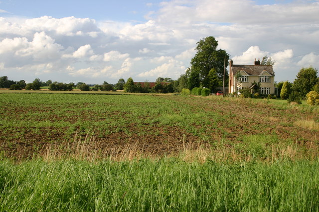
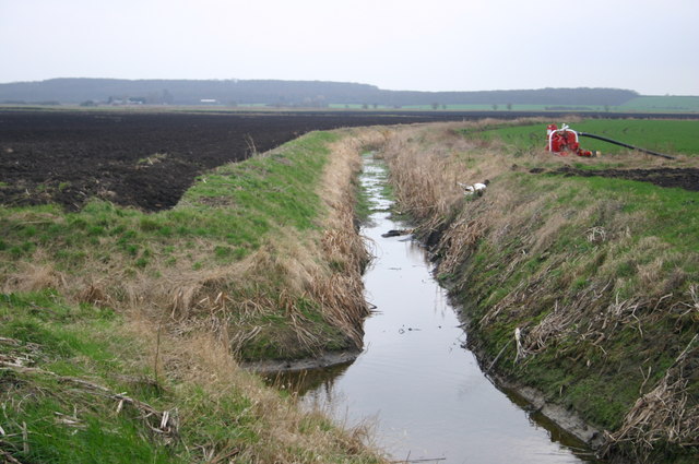
Hollow Head is a prominent landscape feature located in Huntingdonshire, a historic county in the East of England. It is a large depression in the ground that is believed to have been formed during the last Ice Age, approximately 10,000 years ago. The depression is thought to have been created by the melting of glaciers and the subsequent movement of water, resulting in the formation of a hollow, or "head."

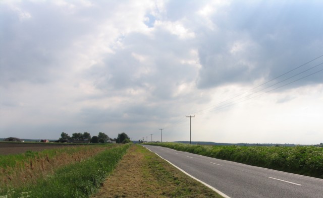
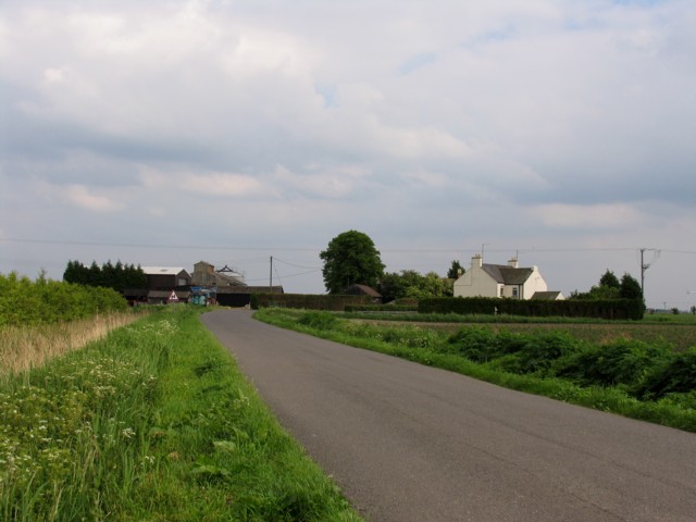
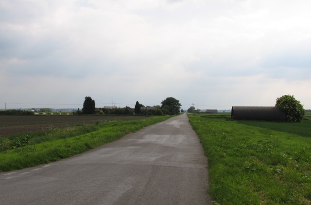
Hollow Head is surrounded by rolling hills and lush greenery, making it a picturesque and tranquil spot in the countryside. The area is popular among hikers and nature enthusiasts, who come to admire the unique geological formation and enjoy the peaceful surroundings. The site is also of interest to geologists and researchers studying the effects of glaciation on the landscape.

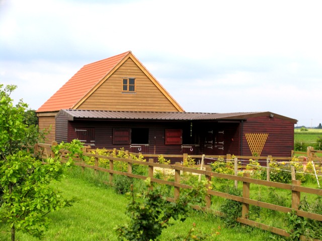
In addition to its natural beauty, Hollow Head is also home to a variety of wildlife, including birds, insects, and small mammals. The area is protected and managed by local conservation groups to ensure the preservation of its ecological significance. Overall, Hollow Head is a fascinating and scenic landscape feature that offers visitors a glimpse into the geological history of the region.

If you have any feedback on the listing, please let us know in the comments section below.

Hollow Head Images

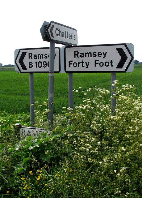
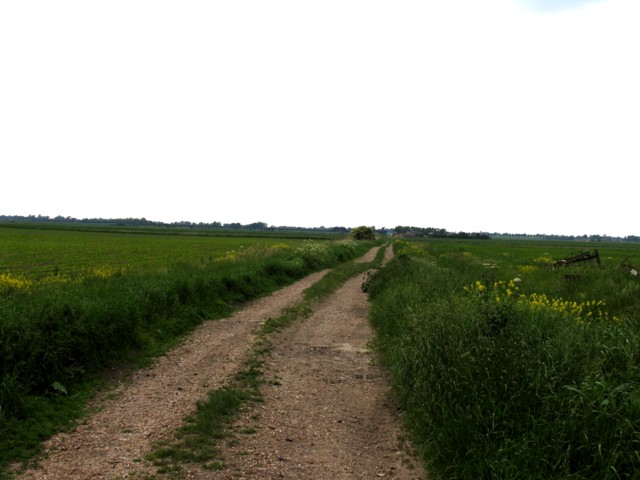
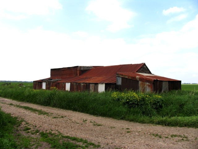
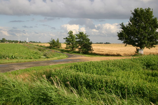
Images are sourced within 2km of 52.449585/-0.070127463 or Grid Reference TL3185. Thanks to Geograph Open Source API. All images are credited.

Puddock Road passes Red Tile Farm
Toll Farm
Toll Farm
Stable block
Stable block
Ramsey Hollow Drove
Ramsey Hollow Drove
A mistake, surely? The B1096 is a few miles away across the fens!
A mistake, surely?
The B1096 is a few miles away across the fens!
Fenland track
Fenland track
Corrugated iron building
Footpath up to Hollow Heap farm Footpath up to Hollow Heap farm
Footpath up to Hollow Heap farm
Road over to Dovehouse Farm off Hollow Lane
Hollowhead Farm on Hollow Lane
Track to Worlick Farm This lovely avenue of mature trees lines the track.
Track to Worlick Farm
This lovely avenue of mature trees lines the track.
Trees near Worlick Farm These trees and hedgerow line the northern side of the track to Worlick Farm.
Trees near Worlick Farm
These trees and hedgerow line the northern side of the track to Worlick Farm.
Farmland near Worlick Farm These fields are situated north of the track leading to Worlick Farm.
Farmland near Worlick Farm
These fields are situated north of the track leading to Worlick Farm.
Ramsey Hollow Ramsey Hollow is an area of Fenland, east of the village of Ramsey, that is below sea level. Amazingly, there are a number of houses along Ramsey Hollow Drove that will be the first to succumb if the defences are ever breached. This is one of the many drains intersecting the area that are designed to keep the farmland dry.
Ramsey Hollow
Ramsey Hollow is an area of Fenland, east of the village of Ramsey, that is below sea level. Amazingly, there are a number of houses along Ramsey Hollow Drove that will be the first to succumb if the defences are ever breached. This is one of the many drains intersecting the area that are designed to keep the farmland dry.
Lane up to Park Farm Lane and footpath up to Park Farm
Lane up to Park Farm
Lane and footpath up to Park Farm
Crooked Drain Crooked Drain South of Long Drove
Crooked Drain
Crooked Drain South of Long Drove
Across the fens View towards Worlick Farm from Ramsey Hollow.
With thanks for access to the land owner.
Across the fens
View towards Worlick Farm from Ramsey Hollow. With thanks for access to the land owner.
Cropmarks near Poplar Tree Farm, Tick Fen, east of Ramsey: aerial 2020 Mostly the tracks of former creeks.
Cropmarks near Poplar Tree Farm, Tick Fen, east of Ramsey: aerial 2020
Mostly the tracks of former creeks.
Show me another place!

Hollow Head is located at Grid Ref: TL3185 (Lat: 52.449585, Lng: -0.070127463)

Administrative County: Cambridgeshire

District: Huntingdonshire

Police Authority: Cambridgeshire

What 3 Words

///recliner.diverts.jubilant. Near Ramsey, Cambridgeshire

Nearby Locations

Hollow Head

Related Wikis

Abbey College, Ramsey

Abbey College is a secondary school located in Ramsey, Cambridgeshire, England. The school is around 10 miles from Huntingdon and Peterborough and offers...

Ramsey Abbey

Ramsey Abbey was a Benedictine abbey in Ramsey, Huntingdonshire (now part of Cambridgeshire), England. It was founded about AD 969 and dissolved in 1539...

Church of St Thomas à Becket, Ramsey

The Church of St Thomas à Becket, Ramsey is the Church of England parish church of Ramsey, Cambridgeshire (formerly Huntingdonshire). The parish is part...

Ramsey Abbey Gatehouse

Ramsey Abbey Gatehouse was the gatehouse to the Benedictine Ramsey Abbey in Ramsey, Huntingdonshire (now part of Cambridgeshire), England. The gatehouse...

Related Videos

A walk around Ramsey - Walks Around Britain Shorts

A quick look at a super walk around the town of Ramsey on the Isle of Man and up to the Albert Tower. To see the map along with ...

WEEKEND CAMP - Rivermill touring site #shorts

camping #cambridgeshire #ramsey #weekendaway #retreat #summer.

Ramsey Rural Museum

Classic weekend 'A journey through time' event at the Ramsey Rural Museum. My son Jack was helping on a stall for the Royal ...

View from the air - Ramsey and Bury!

A flight from October over Ramsey and Bury.....re edited a previous video where the sound wasn't right! Quite a strong Southerly ...

Nearby Amenities

Located within 500m of 52.449585,-0.070127463
Hollow Heap Farm
Landuse: farm
Note Retag: CS #48756035
Lat/Long: 52.4519985/-0.0659777
Stone Farm
Landuse: farm
Note Retag: CS #48756035
Lat/Long: 52.4457182/-0.0666925
Power: pole
Lat/Long: 52.4454513/-0.0718323
Power: pole
Lat/Long: 52.4456589/-0.0681553
Power: pole
Lat/Long: 52.4455477/-0.069228
Power: pole
Lat/Long: 52.4454252/-0.0704268
Power: pole
Lat/Long: 52.4518807/-0.067227
Power: transformer
Lat/Long: 52.4522598/-0.0698742
Power: pole
Lat/Long: 52.4513053/-0.0639224
Power: pole
Lat/Long: 52.4520653/-0.0685465
Power: pole
Lat/Long: 52.4515734/-0.0650355
Power: pole
Lat/Long: 52.4506956/-0.0630453
Power: pole
Lat/Long: 52.4517286/-0.0661031
Power: pole
Lat/Long: 52.4456556/-0.0678332
Power: pole
Lat/Long: 52.4490118/-0.0647191
Power: pole
Lat/Long: 52.4523498/-0.0705128
Power: pole
Lat/Long: 52.4498585/-0.0638796
Power: pole
Lat/Long: 52.4481649/-0.065572
Power: pole
Lat/Long: 52.4462678/-0.0672444
Power: pole
Lat/Long: 52.4521373/-0.0723497
Power: pole
Lat/Long: 52.4473157/-0.0664142
Power: pole
Lat/Long: 52.4522795/-0.0711484
Power: pole
Lat/Long: 52.4522092/-0.0717518
Power: pole
Lat/Long: 52.446482/-0.0672619
The data included in this document is from www.openstreetmap.org. The data is made available under ODbL.

Have you been to Hollow Head?

Leave your review of Hollow Head below (or comments, questions and feedback).