Gunner Point
Coastal Feature, Headland, Point in Hampshire Havant
England
Gunner Point
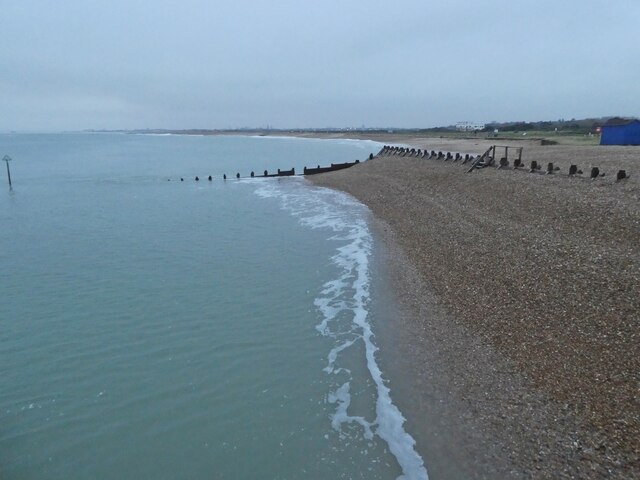
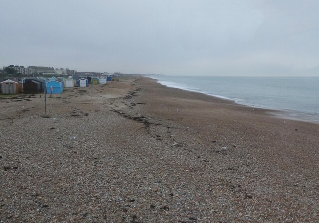
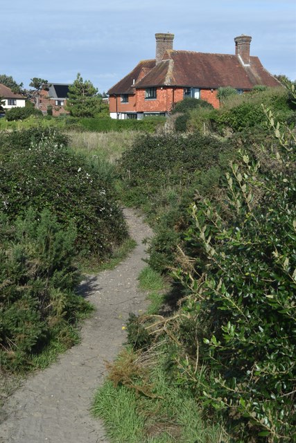
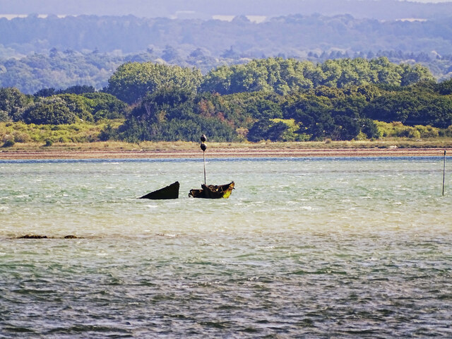
Gunner Point is a prominent coastal feature located in Hampshire, England. It is classified as a headland and point, extending into the English Channel. Situated on the eastern side of the Solent, Gunner Point offers stunning panoramic views of the surrounding landscape.
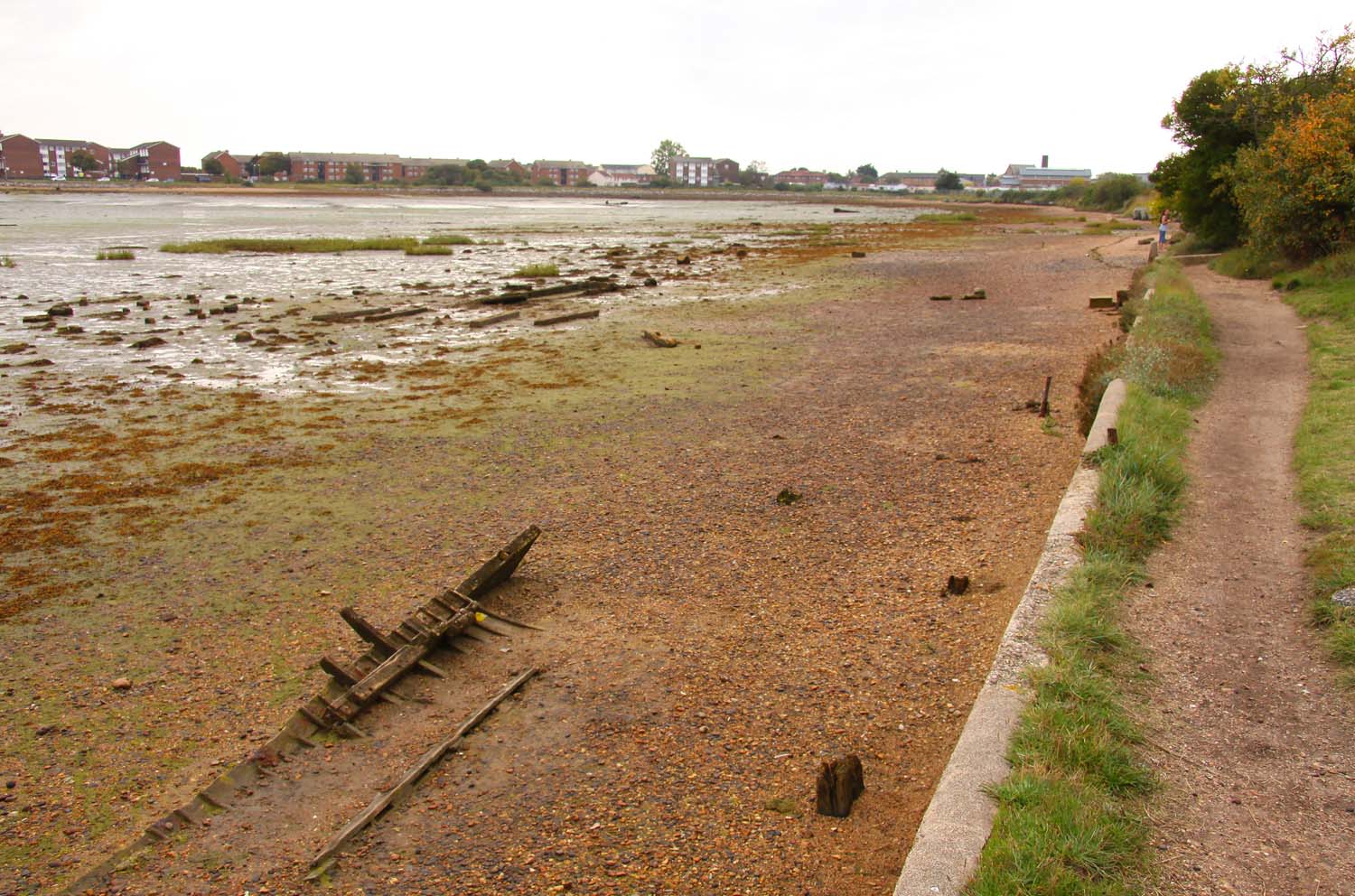
The headland is characterized by its rugged cliffs, which provide a natural barrier against the powerful waves of the channel. These cliffs are composed mainly of chalk and flint, creating a contrasting pattern of white and dark grey. The geological formation of the area has been shaped by erosion and weathering over millions of years.
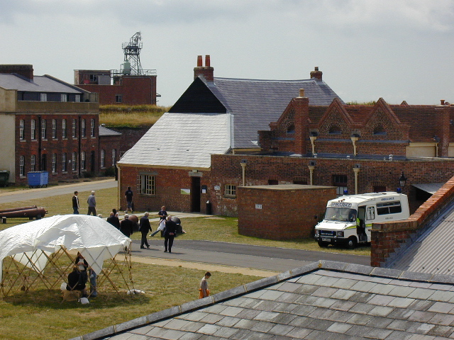
Aside from its geological significance, Gunner Point is also of historical importance. During World War II, the headland served as a strategic military outpost, with gun emplacements and fortifications built to defend against potential enemy attacks. The remnants of these structures can still be seen today, adding to the area's historical charm.
Gunner Point is a popular destination for outdoor enthusiasts and nature lovers. The headland offers numerous walking trails that allow visitors to explore its natural beauty and observe the diverse wildlife that inhabits the area. Birdwatching is particularly popular, as Gunner Point is a haven for a variety of seabirds, including gulls, cormorants, and oystercatchers.
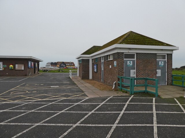
The coastal feature is easily accessible by road and has parking facilities nearby, making it a convenient spot for day trips. Whether it's the dramatic cliffs, the historical significance, or the abundant wildlife, Gunner Point is a must-visit destination for anyone seeking to experience the beauty and heritage of Hampshire's coastline.
If you have any feedback on the listing, please let us know in the comments section below.
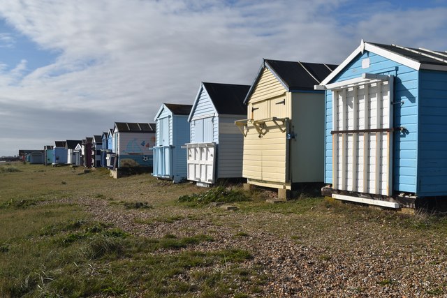
Gunner Point Images
Images are sourced within 2km of 50.787075/-1.0211939 or Grid Reference SZ6999. Thanks to Geograph Open Source API. All images are credited.


Gunner Point is located at Grid Ref: SZ6999 (Lat: 50.787075, Lng: -1.0211939)
Administrative County: Hampshire
District: Havant
Police Authority: Hampshire
What 3 Words
///universally.moth.rising. Near South Hayling, Hampshire
Nearby Locations
Related Wikis

Sinah, Hayling Island
Sinah is the area at the southwestern end of Hayling Island. It incorporates the Ferrypoint, Sinah Beach, The Kench, Sinah Warren, and Sinah Common. It...

The Kench, Hayling Island
The Kench, Hayling Island is a 6-hectare (15-acre) Local Nature Reserve on Hayling Island in Hampshire. It is owned by Hampshire County Council and managed...

Sinah Common
Sinah Common is a 243-hectare (600-acre) biological Site of Special Scientific Interest on Hayling Island in Hampshire, England.This coastal site has maritime...
Fort Cumberland (England)
Fort Cumberland is a pentagonal artillery fortification erected to guard the entrance to Langstone Harbour, east of the Dockyard of Portsmouth on the south...
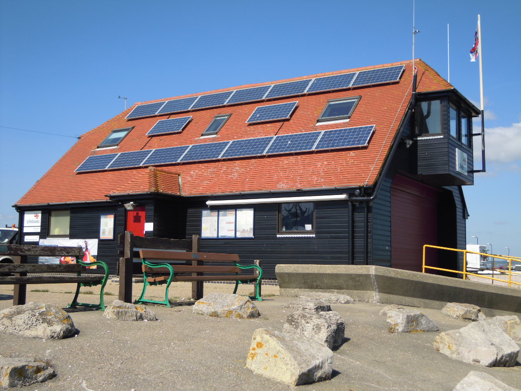
Portsmouth Lifeboat Station
Portsmouth Lifeboat Station is located on Eastney Point near Southsea, in the English county of Hampshire. The station is owned and operated by the RNLI...
Milton Locks
Milton Locks is a 1-hectare (2.5-acre) nature reserve in Milton in Hampshire. It is managed by the Hampshire and Isle of Wight Wildlife Trust.This site...
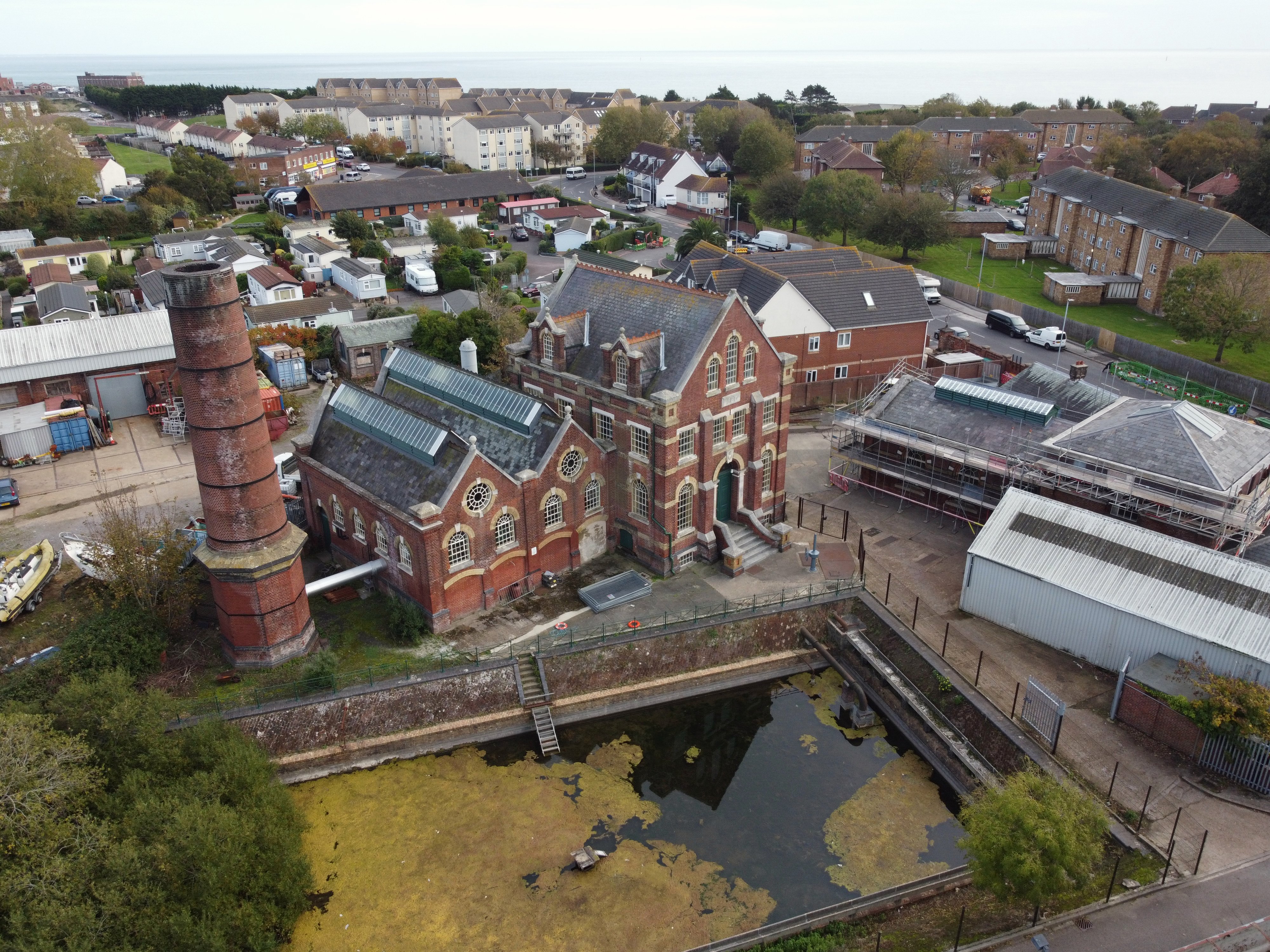
Eastney Beam Engine House
Eastney Beam Engine House is a Grade II -listed Victorian engine house in Portsmouth, Hampshire, England. Dating from 1887, it contains two 150 hp James...
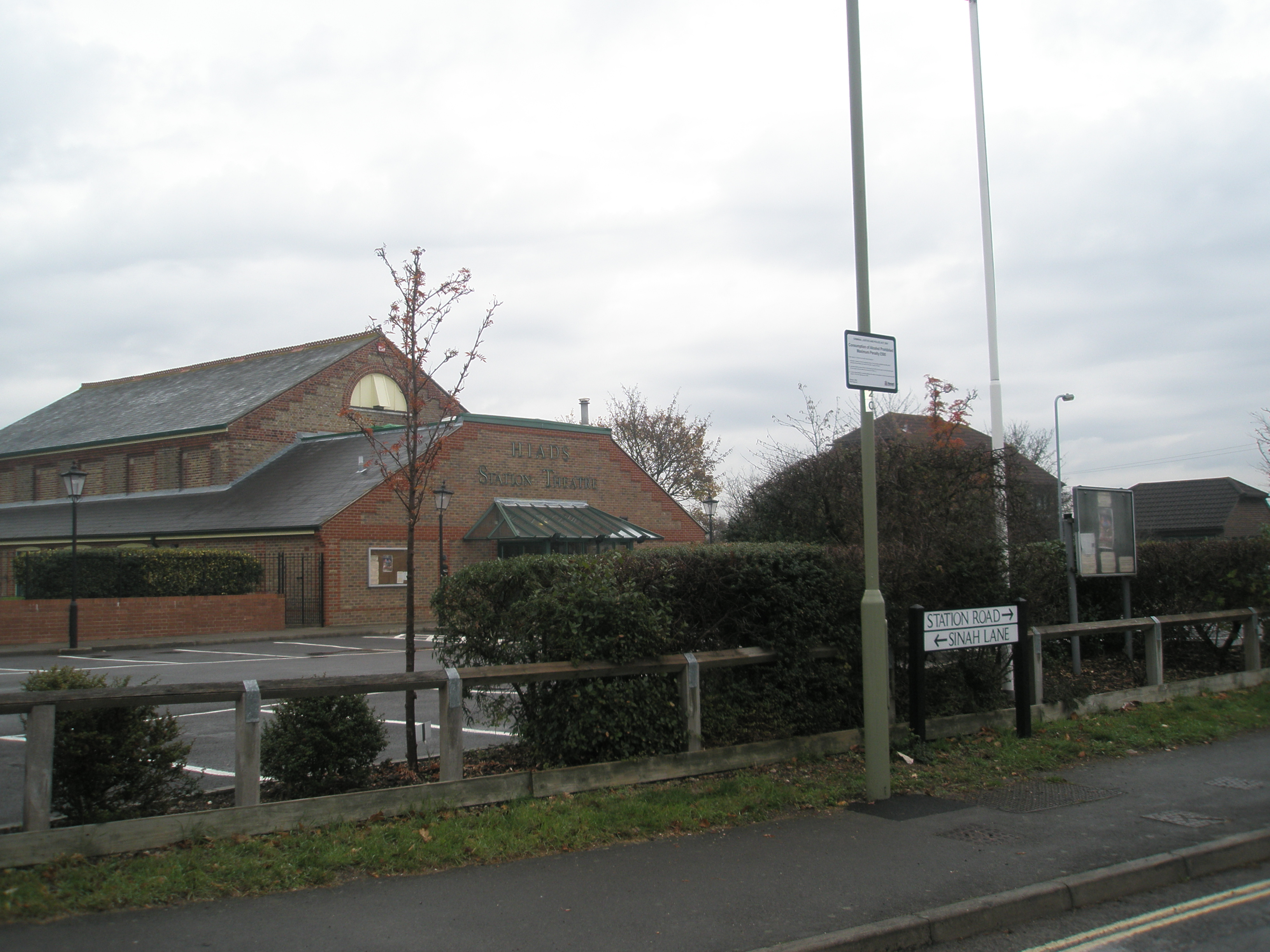
Hayling Island railway station
Hayling Island (called South Hayling until 1892) was a station on Hayling Island in southeastern Hampshire, England. It was opened for passengers in 1867...
Nearby Amenities
Located within 500m of 50.787075,-1.0211939Have you been to Gunner Point?
Leave your review of Gunner Point below (or comments, questions and feedback).