Hartlepool Point

Coastal Feature, Headland, Point in Durham

England

Hartlepool Point

On the beach in the mist Starting as a dark line on the horizon, within minutes a sea mist came billowing in turning a bright sunny morning into hazy gloom.
On the beach in the mist Credit: Des Blenkinsopp

Hartlepool Point is a prominent headland located in the town of Hartlepool, County Durham, England. Situated on the North Sea coast, it serves as a natural landmark and coastal feature in the region.

The headland is characterized by its distinctive cliffs, which rise dramatically from the sea and offer breathtaking views of the surrounding coastline. These cliffs are composed of layers of sedimentary rock, primarily sandstone and limestone, which have been shaped over millions of years by the erosive forces of wind and waves.

Hartlepool Point is a popular destination for both locals and tourists alike, drawing visitors with its striking beauty and the opportunity for outdoor activities. The headland is known for its scenic walking trails that meander along the cliff tops, providing panoramic vistas of the North Sea and the nearby coastline. These trails also offer access to secluded coves and beaches, perfect for relaxing or exploring the diverse marine life in rock pools.

The area surrounding Hartlepool Point is rich in history and cultural significance. The headland is home to the prominent Hartlepool Lighthouse, an iconic landmark dating back to the early 19th century. The lighthouse served as an important navigational aid for ships entering the harbor and continues to guide maritime traffic to this day.

Overall, Hartlepool Point is an outstanding coastal feature, boasting stunning natural beauty, recreational opportunities, and historical significance. Its striking cliffs, scenic walking trails, and cultural landmarks make it a must-visit destination for anyone exploring the Durham coastline.

If you have any feedback on the listing, please let us know in the comments section below.

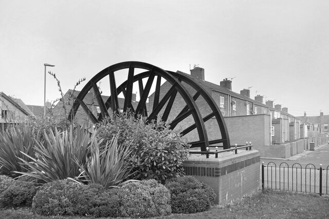
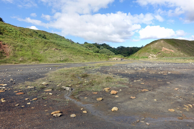
Hartlepool Point Images

Images are sourced within 2km of 54.759621/-1.2949371 or Grid Reference NZ4540. Thanks to Geograph Open Source API. All images are credited.

On the beach in the mist Starting as a dark line on the horizon, within minutes a sea mist came billowing in turning a bright sunny morning into hazy gloom.
On the beach in the mist
Starting as a dark line on the horizon, within minutes a sea mist came billowing in turning a bright sunny morning into hazy gloom.
Mine Wheel Memorial, Blackhall Colliery One of several similar monuments in this area commemorating the former mining industry.
A sea mist has blown in making colour photography rather unrewarding, but this looks ok in B&W.
Mine Wheel Memorial, Blackhall Colliery
One of several similar monuments in this area commemorating the former mining industry. A sea mist has blown in making colour photography rather unrewarding, but this looks ok in B&W.
Eighth Street, Blackhall Colliery Making it easy for the postman, a group of adjacent streets are named from First to Eleventh. I think that's right. I can't see any more on the map.
Eighth Street, Blackhall Colliery
Making it easy for the postman, a group of adjacent streets are named from First to Eleventh. I think that's right. I can't see any more on the map.
Middle Street, Blackhall Colliery A town with very logical street naming. This is Middle Street, the main road, with East and West Streets running parallel. In between are First to Eleventh Streets. Easy.
Further along, it's poets.
Middle Street, Blackhall Colliery
A town with very logical street naming. This is Middle Street, the main road, with East and West Streets running parallel. In between are First to Eleventh Streets. Easy. Further along, it's poets.
Hardwicke Hall Manor Hotel car park Shared with Manor Motors and hopefully the car stock does not get mixed up.
Hardwicke Hall Manor Hotel car park
Shared with Manor Motors and hopefully the car stock does not get mixed up.
Drive to Hardwicke Hall Manor Hotel Passing the entrance to Wood Cottage, screened by trees
Drive to Hardwicke Hall Manor Hotel
Passing the entrance to Wood Cottage, screened by trees
Train at Horden train station A northern (Northern Trains Limited) class 156 train at Horden train station
Train at Horden train station
A northern (Northern Trains Limited) class 156 train at Horden train station
A Low Black Cliff When there were coal mines working nearby they would dump old waste mining rubble onto the beaches along this bit of coast.
Old pictures show it covering a large area but a lot of it has been cleared or washed away. Some still remains and makes a line of low cliffs around a metre high which collapse into the sea at intervals. Large lumps of coal can still be found in the mixture.
A Low Black Cliff
When there were coal mines working nearby they would dump old waste mining rubble onto the beaches along this bit of coast. Old pictures show it covering a large area but a lot of it has been cleared or washed away. Some still remains and makes a line of low cliffs around a metre high which collapse into the sea at intervals. Large lumps of coal can still be found in the mixture.
Mining Waste by the Sea Looking back inland from the edge of the  area shown here <a href="https://www.geograph.org.uk/photo/7273671">NZ4442 : A Low Black Cliff</a> where coal mining debris was dumped onto the beach. Much of it is still bare and inhospitable and naturalists are watching with interest to see what types of plant will gradually start growing here.
Mining Waste by the Sea
Looking back inland from the edge of the area shown here NZ4442 : A Low Black Cliff where coal mining debris was dumped onto the beach. Much of it is still bare and inhospitable and naturalists are watching with interest to see what types of plant will gradually start growing here.
Mine Water Treatment Pond As has been found in many former mining districts, you can't just close a deep mine and forget about it. Once the pumps that drained the workings are turned off, groundwater comes back in and gets polluted. 
The limestone aquifer here supplies clean water to a large area and cannot be allowed to become contaminated.
These ponds contain polluted mine water and are part of the cleaning up process.
Mine Water Treatment Pond
As has been found in many former mining districts, you can't just close a deep mine and forget about it. Once the pumps that drained the workings are turned off, groundwater comes back in and gets polluted. The limestone aquifer here supplies clean water to a large area and cannot be allowed to become contaminated. These ponds contain polluted mine water and are part of the cleaning up process.
Treatment Pond for Mine Water Another picture of one of the ponds which are part of the treatment process for polluted water from a former coal mine.
Treatment Pond for Mine Water
Another picture of one of the ponds which are part of the treatment process for polluted water from a former coal mine.
Explaining the Treatment Ponds An information panel by the ponds where polluted water coming from an old coal mine is treated.
Explaining the Treatment Ponds
An information panel by the ponds where polluted water coming from an old coal mine is treated.
Stone Wall and Seat A stone built windbreak and bench facing out to sea along the coast path.
Stone Wall and Seat
A stone built windbreak and bench facing out to sea along the coast path.
Coast Path, Warren House Gill A short distance inland from the strange desolate beach still covered in old mining waste, the coast path is in a green valley beside a small stream.
Coast Path, Warren House Gill
A short distance inland from the strange desolate beach still covered in old mining waste, the coast path is in a green valley beside a small stream.
Horden Colliery Memorial Marking the site of a former coal mine. The site has been extensively landscaped and redeveloped but these old wheels have been set up as a memorial.
Horden Colliery Memorial
Marking the site of a former coal mine. The site has been extensively landscaped and redeveloped but these old wheels have been set up as a memorial.
Business Premises on Kilburn Drive Part of the Sea View Industrial Estate.
Business Premises on Kilburn Drive
Part of the Sea View Industrial Estate.
Co-operative Buildings, Cotsford Lane Presumably all a co-op store at one time, but now only partly retained as a co-op funeral parlour at the far end.
Co-operative Buildings, Cotsford Lane
Presumably all a co-op store at one time, but now only partly retained as a co-op funeral parlour at the far end.
Fourth Street, Horden A very short street leading to a green. In between the much longer Third and Fifth Streets.
Fourth Street, Horden
A very short street leading to a green. In between the much longer Third and Fifth Streets.
Show me another place!

Hartlepool Point is located at Grid Ref: NZ4540 (Lat: 54.759621, Lng: -1.2949371)

Unitary Authority: County Durham

Police Authority: Durham

What 3 Words

///quench.thanks.retire. Near Peterlee, Co. Durham

Nearby Locations

Hartlepool Point

Related Wikis

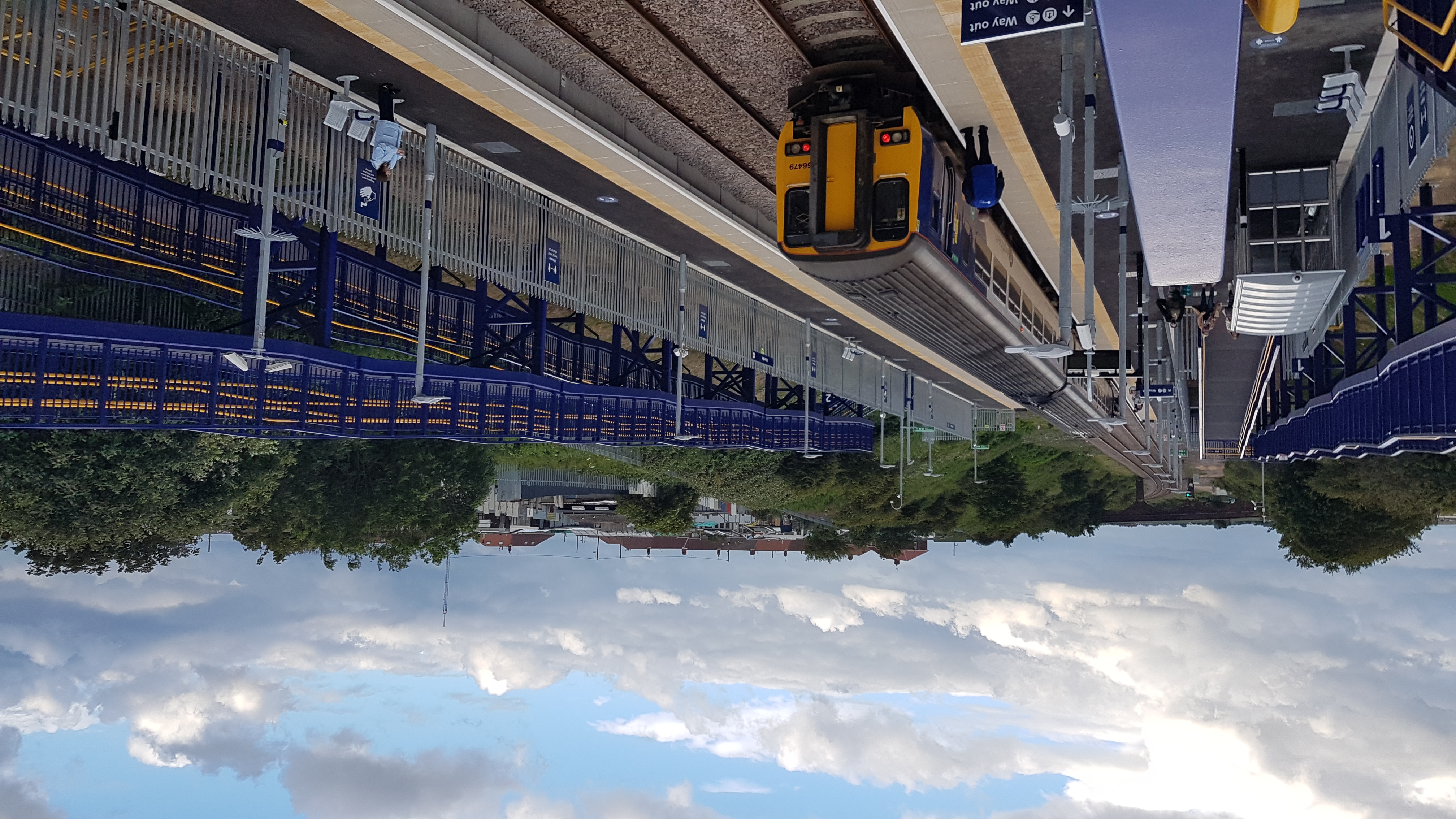
Horden railway station

Horden (also known as Horden Peterlee during the planning stage) is a railway station on the Durham Coast Line, which runs between Newcastle and Middlesbrough...

Blackhall Colliery railway station

Blackhall Colliery railway station served the village of Blackhall Colliery in County Durham, North East England. It was located on the Durham Coast Line...

Horden

Horden is a village and electoral ward in County Durham, England. It is situated on the North Sea coast, to the east of Peterlee, approximately 12 miles...

Dene Academy

Dene Academy (formerly Dene Community School) is a coeducational secondary school located in Peterlee, County Durham, England.Established in 1962, in November...

Horden Community Welfare F.C.

Horden Community Welfare Football Club is a football club based in Horden, County Durham, England. The club was formed as Horden Athletic in 1907, changing...

Darlington Town F.C.

Darlington Town is a football club based in Darlington, in County Durham, England. The club was formed in 2018, taking the place in the Wearside League...

Blackhall Colliery

Blackhall Colliery is a village on the North Sea coast of County Durham, in England. It is situated on the A1086 between Horden and Hartlepool. To the...

Horden Colliery

Horden Colliery was a coal mine situated in Horden, near Peterlee in County Durham. == History == It opened in 1900 and was closed on 28 February 1987...

Related Videos

Sit, watch and relax

relaxing #nature #dog.

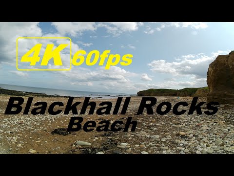
Blackhall Rocks Beach Walk 2023

blackhall #beach #hartlepool #uk #england, #walking, #walk, #travel, #4k Walking in Blackhall Roks Beach Park. Donate for a ...

Dalton Park and Peterlee 2023

peterlee #daltonpark #uk #walk #walking #4k #travel Dalton Park Look like Dalton Park is moust popular place for shopping in the ...

Having A Fresh Air , Relaxation , walking by the Sea Side with a Beautiful Weather

Song: AWN - We Know Music provided by Vlog No Copyright Music. Creative Commons - Attribution-ShareAlike 3.0 Unported ...

Nearby Amenities

Located within 500m of 54.759621,-1.2949371
Barrier: kissing_gate
Bicycle: no
Foot: yes
Lat/Long: 54.7592811/-1.2938721
Barrier: bollard
Foot: yes
Lat/Long: 54.7604001/-1.294536
Power: pole
Lat/Long: 54.7557152/-1.2963492
Barrier: kissing_gate
Bicycle: no
Foot: yes
Lat/Long: 54.7577211/-1.2931171
The data included in this document is from www.openstreetmap.org. The data is made available under ODbL.

Have you been to Hartlepool Point?

Leave your review of Hartlepool Point below (or comments, questions and feedback).