Craggs Head

Landscape Feature in Yorkshire Harrogate

England

Craggs Head

Swinsty Reservoir A view of the lakeside picnic area at Swinsty, taken looking North west.
Swinsty Reservoir Credit: Mick Melvin

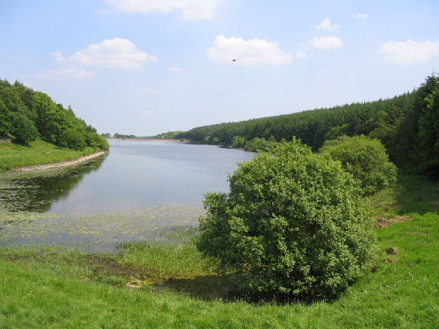
Craggs Head is a prominent landscape feature located in the county of Yorkshire, England. Situated in the rugged and picturesque countryside, it is a notable rocky outcrop that stands prominently above the surrounding landscape. The name "Craggs Head" derives from the Old Norse word "crag," meaning steep or rugged cliff, and "head," which refers to the highest point or summit.

Rising to an elevation of approximately 500 feet, Craggs Head offers breathtaking panoramic views of the surrounding countryside. Its strategic location provides visitors with an ideal vantage point to appreciate the beauty of the Yorkshire Dales National Park. On clear days, one can see rolling hills, lush green valleys, and picturesque villages dotting the landscape.

The geological composition of Craggs Head is primarily limestone, which has been eroded over millions of years by natural forces, resulting in the distinctive rocky formations seen today. The rugged cliffs and crags offer a unique habitat for various plant and animal species, some of which are rare and protected. The site is particularly popular among hikers, rock climbers, and nature enthusiasts for its challenging terrain and diverse flora and fauna.

Craggs Head also has historical significance, as it is believed to have served as a lookout point during medieval times. Its commanding position allowed for surveillance of the surrounding areas, making it an essential strategic location during various conflicts throughout Yorkshire's rich history.

In conclusion, Craggs Head is a striking and historically significant landscape feature in Yorkshire, offering visitors stunning views, challenging outdoor activities, and a glimpse into the region's geological and cultural heritage.

If you have any feedback on the listing, please let us know in the comments section below.
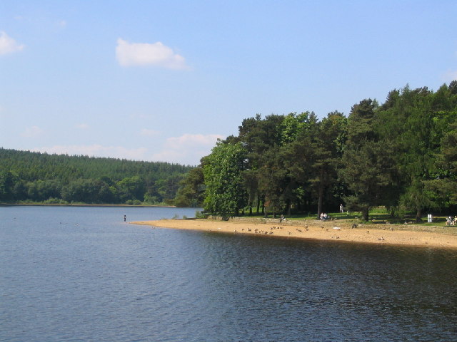
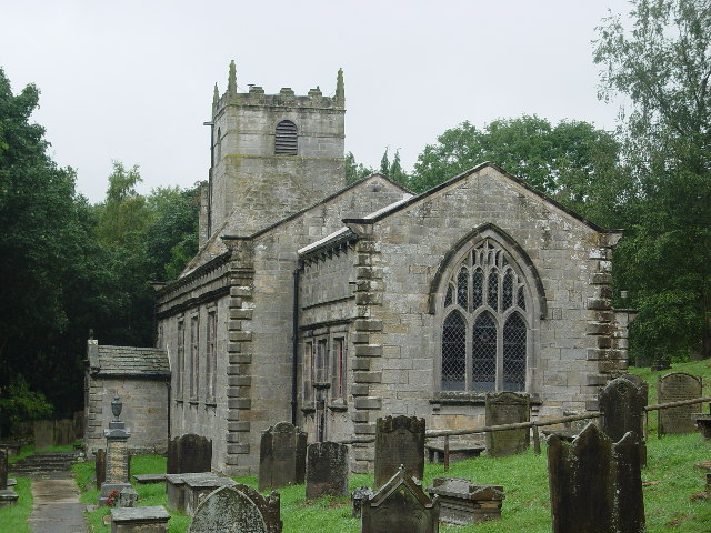
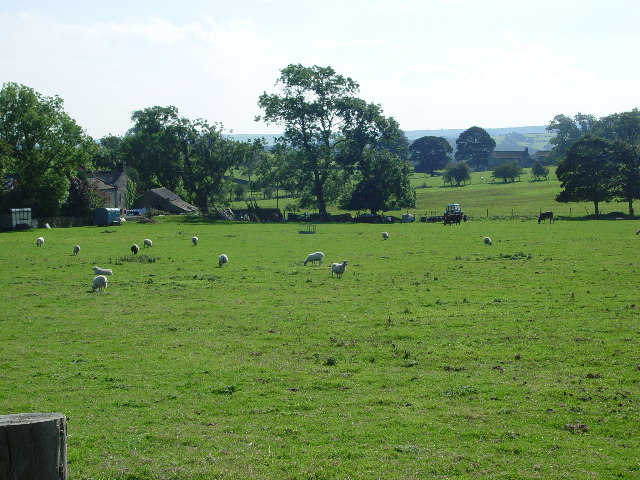
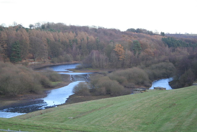
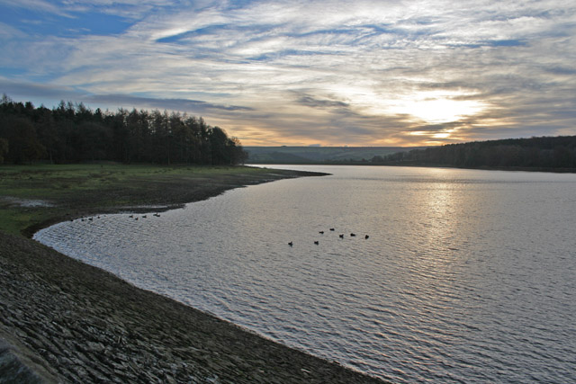
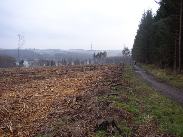
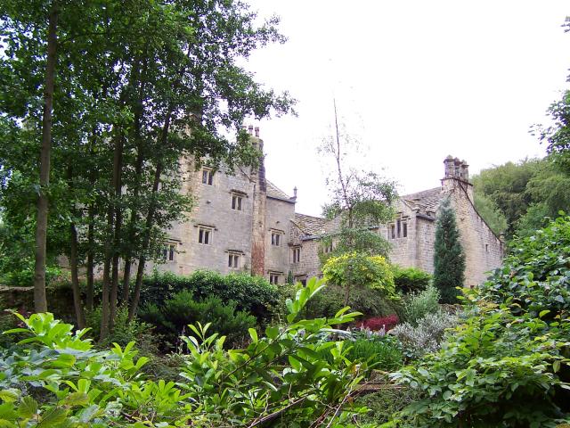
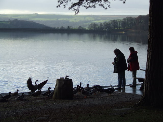
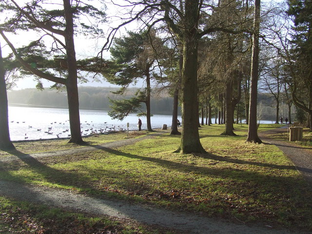
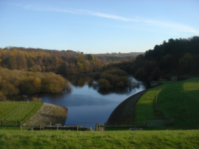
Craggs Head Images

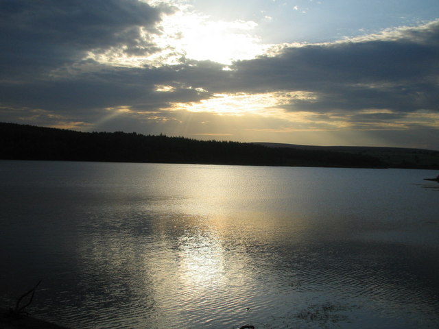
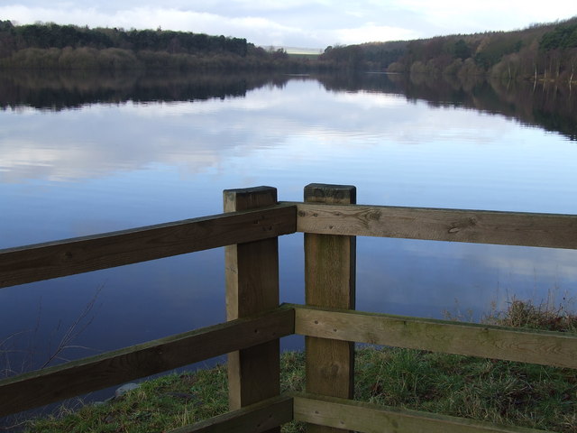
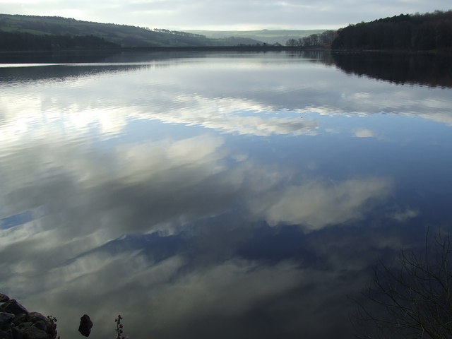
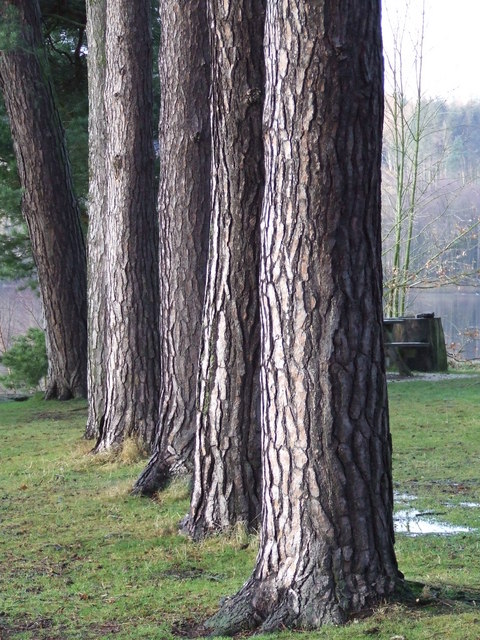
Images are sourced within 2km of 53.989627/-1.689125 or Grid Reference SE2054. Thanks to Geograph Open Source API. All images are credited.

Swinsty Reservoir A view of the lakeside picnic area at Swinsty, taken looking North west.
Swinsty Reservoir
A view of the lakeside picnic area at Swinsty, taken looking North west.
Fewston Church Dedicated to St Michael and St Lawrence
Fewston Church
Dedicated to St Michael and St Lawrence
Prospect House Farm and Farmland
Prospect House
Farm and Farmland
Roman Road This part of the A59 is noted on the maps as a Roman Road. I hope they had good brakes on their chariots and strong horses! Drive it in a car and it's like the dips on a rollercoaster.
Roman Road
This part of the A59 is noted on the maps as a Roman Road. I hope they had good brakes on their chariots and strong horses! Drive it in a car and it's like the dips on a rollercoaster.
Fewston Cemetery Opened in 1911. When the burials ceased in the churchyard they opened up a new cemetery here, but it's about 2 miles by road from the village and church at SE194541.
Fewston Cemetery
Opened in 1911. When the burials ceased in the churchyard they opened up a new cemetery here, but it's about 2 miles by road from the village and church at SE194541.
Swinsty Reservoir from Fewston Embankment The out fall from Fewston Reservoir feeds immediately into Swinsty Reservoir. The grass bank and the trees in the foreground are in <a href="https://www.geograph.org.uk/gridref/SE1854">SE1854</a>, the island at the centre of the photograph and the far bank are in <a href="https://www.geograph.org.uk/gridref/SE1954">SE1954</a>
Swinsty Reservoir from Fewston Embankment
The out fall from Fewston Reservoir feeds immediately into Swinsty Reservoir. The grass bank and the trees in the foreground are in SE1854, the island at the centre of the photograph and the far bank are in SE1954
Swinsty Reservoir, Washburn Valley One of four large reservoirs in the Washburn Valley, Swinsty holds 866 million gallons and was completed in 1876. This was taken looking SW about 3.00 pm on a cold December afternoon.
Swinsty Reservoir, Washburn Valley
One of four large reservoirs in the Washburn Valley, Swinsty holds 866 million gallons and was completed in 1876. This was taken looking SW about 3.00 pm on a cold December afternoon.
Path and Stumps, Little Timble, North Yorkshire The path is the main footpath around the south-west side of Swinsty Reservoir, seen in the distance.  The stumps are in a clear-felled area of conifer plantation.
Path and Stumps, Little Timble, North Yorkshire
The path is the main footpath around the south-west side of Swinsty Reservoir, seen in the distance. The stumps are in a clear-felled area of conifer plantation.
Swinsty Hall
Swinsty Hall
Typical Memorial Seat around the perimeter of Swinsty Reservoir
Swinsty Reservoir from Swinsty Embankment
Long Slack Farm Facing the enormous Memwith Hill RAF station "golf balls", the local farmer runs a farm meat shop.
Long Slack Farm
Facing the enormous Memwith Hill RAF station "golf balls", the local farmer runs a farm meat shop.
The northern section of Swinsty Reservoir from Stack Point This is the North-westerly view across Swinsty Reservoir from Stack Point. In the middle distance is the dam (Fewston Embankment) which separates Fewston Reservoir from Swinsty.
The northern section of Swinsty Reservoir from Stack Point
This is the North-westerly view across Swinsty Reservoir from Stack Point. In the middle distance is the dam (Fewston Embankment) which separates Fewston Reservoir from Swinsty.
Swinsty Reservoir from Stack Point This shows the southern part of Swinsty Reservoir looking towards Swinsty Embankment (dam). The reservoir was completed in 1876 and has a surface area of 156 acres.
Swinsty Reservoir from Stack Point
This shows the southern part of Swinsty Reservoir looking towards Swinsty Embankment (dam). The reservoir was completed in 1876 and has a surface area of 156 acres.
Conifer tree trunks at Stack Point
Picnic (and bird feeding) Area at Stack Point (Swinsty Reservoir)
Stack Point Stack Point is a very popular car parking area and picnic site on the eastern shore of Swinsty Reservoir.
Stack Point
Stack Point is a very popular car parking area and picnic site on the eastern shore of Swinsty Reservoir.
Autumn glory by Swinsty reservoir
Show me another place!

Craggs Head is located at Grid Ref: SE2054 (Lat: 53.989627, Lng: -1.689125)

Division: West Riding

Administrative County: North Yorkshire

District: Harrogate

Police Authority: North Yorkshire

What 3 Words

///delight.discusses.include. Near Stainburn, North Yorkshire

Nearby Locations

Craggs Head

Related Wikis

Menwith Hill Elementary/High School

Menwith Hill Elementary/High School was an American facility located at RAF Menwith Hill in North Yorkshire, England. It closed in 2015. == Academics... ==

John O'Gaunt's Castle

John O'Gaunt's Castle was a royal hunting lodge in the West Riding of Yorkshire in England. == History == John of Gaunt's Castle is situated near Harrogate...

Swinsty Reservoir

Swinsty Reservoir is a reservoir in the Washburn valley north of Otley and west of Harrogate in Yorkshire, England. Construction began in 1871 and was...

Beaver Dyke Reservoirs

Beaver Dyke Reservoirs were two water supply reservoirs (one of which is still extant), 5 miles (8 km) west of Harrogate in North Yorkshire, England. The...

Nearby Amenities

Located within 500m of 53.989627,-1.689125
Beck Farm
Place: farm
Source: NLS-OS-1st_Series
Lat/Long: 53.9858584/-1.6850945
Worstall Crags
Fixme: identify actual crags and move nameto there.
Place: locality
Source: NLS-OS-1st_Series
Lat/Long: 53.9885085/-1.6920028
Observatory
Fixme: Shown on old OS 25K, anything still at tis location?
Source: NLS-OS-1st_Series
Lat/Long: 53.9878518/-1.6835495
Craggs Farm
Building: yes
Source: NLS-OS-1st_Series
Lat/Long: 53.9907534/-1.6963565
The data included in this document is from www.openstreetmap.org. The data is made available under ODbL.

Have you been to Craggs Head?

Leave your review of Craggs Head below (or comments, questions and feedback).