Aire Head
Landscape Feature in Yorkshire Craven
England
Aire Head
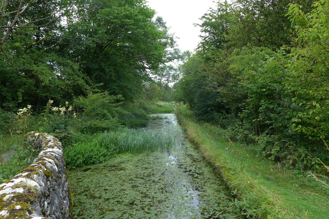
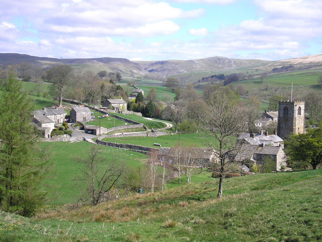
Aire Head is a prominent landscape feature located in the county of Yorkshire, England. Situated in the Yorkshire Dales National Park, it is a significant geological formation that attracts both locals and visitors alike.
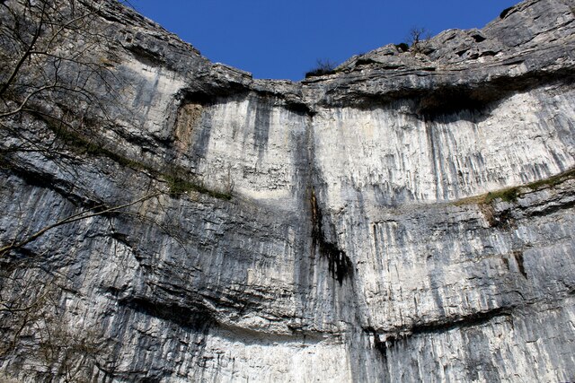
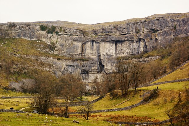
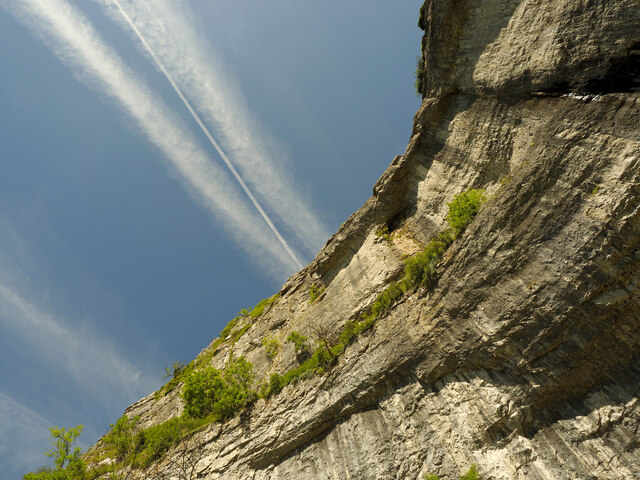
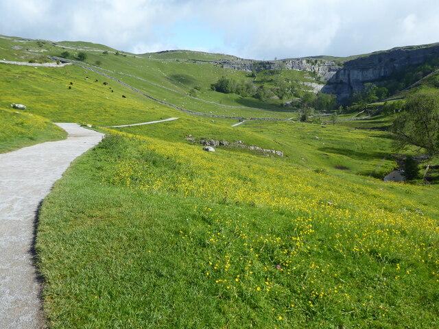
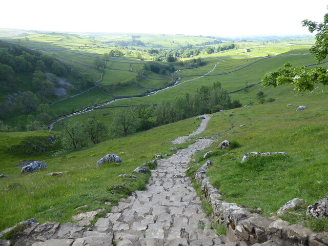
At its core, Aire Head is a limestone karst feature, formed over millions of years through the process of erosion. The area is characterized by its impressive underground cave systems, natural sinkholes, and underground rivers. These underground waterways contribute to the formation of the River Aire, which is a major watercourse in the region.
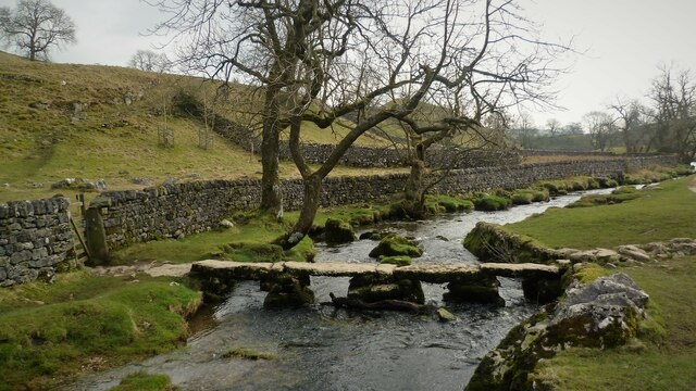
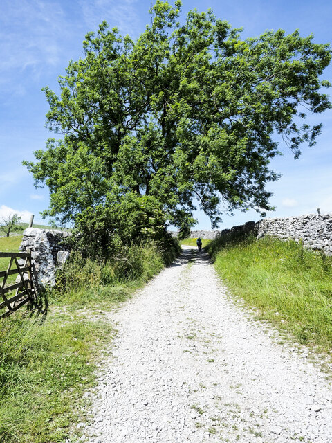
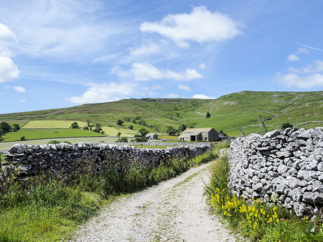
The landscape surrounding Aire Head is breathtaking, with rolling hills and lush greenery. The area is home to a diverse range of plant and animal species, making it an important ecological site. It is not uncommon to spot various bird species, including peregrine falcons and ravens, soaring through the skies above Aire Head.
Aire Head also holds historical significance, with evidence of human activity dating back thousands of years. Archaeological discoveries in the area have included ancient tools and artifacts, providing insights into the lives of past civilizations.
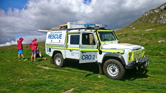
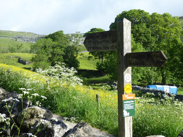
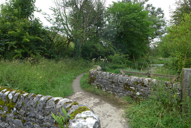
For outdoor enthusiasts, Aire Head offers a multitude of recreational activities. Hiking and walking trails provide opportunities to explore the natural beauty of the landscape, while rock climbing and caving are popular among thrill-seekers. The area is also a favored spot for picnicking and camping.
In conclusion, Aire Head is a remarkable landscape feature in Yorkshire, offering a captivating blend of geological, ecological, and historical significance. Its natural beauty and recreational opportunities make it a must-visit destination for those exploring the Yorkshire Dales National Park.
If you have any feedback on the listing, please let us know in the comments section below.
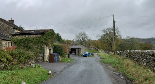
Aire Head Images
Images are sourced within 2km of 54.055425/-2.1518333 or Grid Reference SD9062. Thanks to Geograph Open Source API. All images are credited.
Aire Head is located at Grid Ref: SD9062 (Lat: 54.055425, Lng: -2.1518333)
Division: West Riding
Administrative County: North Yorkshire
District: Craven
Police Authority: North Yorkshire
What 3 Words
///monorail.mankind.meal. Near Hellifield, North Yorkshire
Nearby Locations
Related Wikis

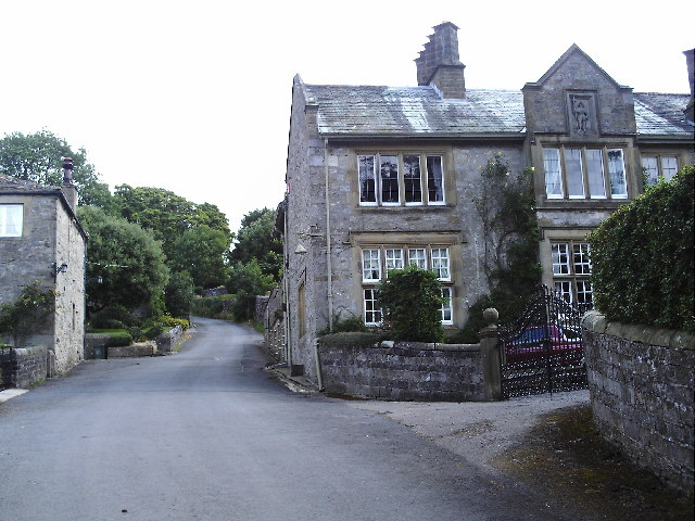
Malham
Malham is a village and civil parish in the Craven district of North Yorkshire, England. Before 20th century boundary changes, the village was part of...

Friar Garth Farmhouse
Friar Garth Farmhouse is a Grade II listed building in Malham, North Yorkshire, England. It was listed as an historic site by English Heritage on 13 September...
Hanlith
Hanlith is a small village and civil parish in the Craven district of North Yorkshire, England. It is situated near Kirkby Malham and the tourist attraction...

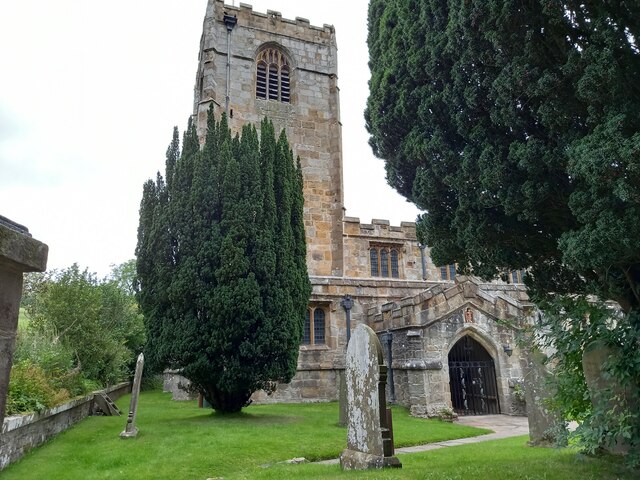
St Michael's Church, Kirkby Malham
St Michael's Church is in the village of Kirkby Malham, North Yorkshire, England. It is an active Anglican parish church in the deanery of Bowland and...

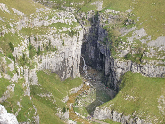
Malham Cove
Malham Cove is a large curved limestone formation 0.6 miles (1 km) north of the village of Malham, North Yorkshire, England. It was formed by a waterfall...
Gordale Scar
Gordale Scar is a limestone ravine 1 mile (1.6 km) north-east of Malham, North Yorkshire, England. It contains two waterfalls and has overhanging limestone...
Kirkby Malham
Kirkby Malham is a small village and civil parish in the Craven district of North Yorkshire, England. Situated in the Yorkshire Dales it lies 5 miles...

Scosthrop
Scosthrop is a civil parish in the Craven district of North Yorkshire, England. The population as taken at the 2011 Census was less than 100. Details are...
Nearby Amenities
Located within 500m of 54.055425,-2.1518333Have you been to Aire Head?
Leave your review of Aire Head below (or comments, questions and feedback).