Bowderdale Head
Landscape Feature in Westmorland Eden
England
Bowderdale Head

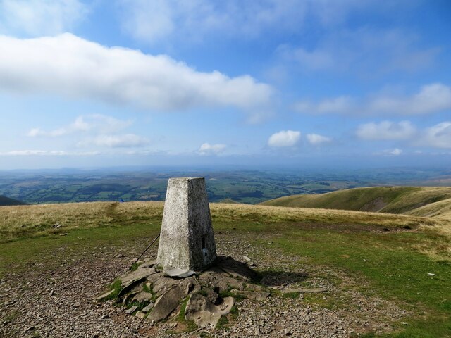
Bowderdale Head is a stunning landscape feature located in the district of Westmorland, in the county of Cumbria, England. Situated within the Yorkshire Dales National Park, it is a remote and rugged area of natural beauty.
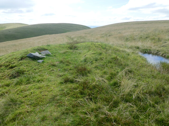
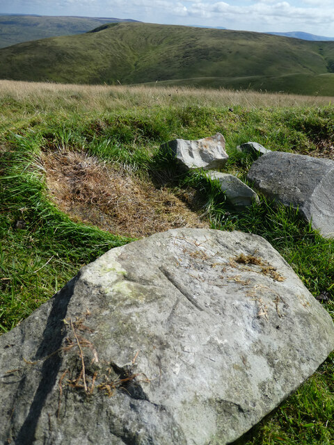
At an elevation of approximately 600 meters (1,970 feet), Bowderdale Head is nestled in the upper reaches of the Bowderdale Valley. The landscape is characterized by its dramatic and steep slopes, with rocky outcrops and crags dominating the skyline. The head of the valley is flanked by imposing fells, such as the iconic Wild Boar Fell and Swarth Fell.
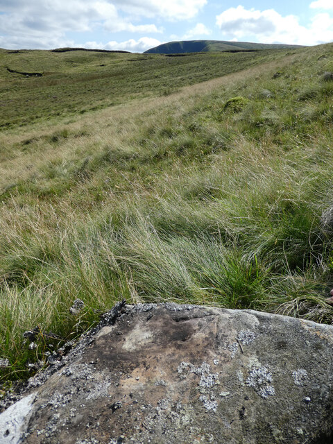
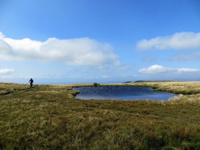
The terrain of Bowderdale Head is wild and untamed, primarily consisting of open moorland and heather-clad hillsides. It is intersected by several streams and becks, which converge to form the picturesque Bowderdale Beck that meanders its way down the valley. These watercourses, along with the surrounding verdant vegetation, add to the area's natural charm and provide a habitat for various wildlife species.
Bowderdale Head is a haven for outdoor enthusiasts and nature lovers alike. Its remote location ensures a sense of tranquility and seclusion, making it an ideal destination for hikers, walkers, and photographers seeking solitude in the breathtaking surroundings. The area offers numerous walking routes, including the scenic Bowderdale Horseshoe, which circumnavigates the valley and provides panoramic views across the Dales.
In conclusion, Bowderdale Head is a captivating landscape feature in Westmorland, showcasing the beauty and ruggedness of the Yorkshire Dales National Park. With its steep slopes, rocky outcrops, and unspoiled moorland, it offers an idyllic escape for those seeking solitude and a connection with nature.
If you have any feedback on the listing, please let us know in the comments section below.
Bowderdale Head Images
Images are sourced within 2km of 54.37764/-2.4894629 or Grid Reference SD6898. Thanks to Geograph Open Source API. All images are credited.


Bowderdale Head is located at Grid Ref: SD6898 (Lat: 54.37764, Lng: -2.4894629)
Administrative County: Cumbria
District: Eden
Police Authority: Cumbria
What 3 Words
///hurray.stability.declares. Near Sedbergh, Cumbria
Nearby Locations
Related Wikis

Yarlside
Yarlside is a hill in the Howgill Fells, Cumbria (historically Westmorland), England. This fell is not to be confused with the Yarlside area near Barrow...

Randygill Top
Randygill Top is a mountain located in the Howgill Fells, Cumbria (historically Westmorland), England. == References ==

The Calf
The Calf, at 676 m, is the highest top in the Howgill Fells, an area of high ground in the north-west of the Yorkshire Dales in the county of Cumbria...

Calders (Yorkshire Dales)
Calders is a summit of 2,211 feet (674 m) in the Howgill Fells, Cumbria, England. It lies about 2⁄3 mile (1 km) south east of the summit of The Calf and...
Howgill Fells
The Howgill Fells are uplands in Northern England between the Lake District and the Yorkshire Dales, lying roughly within a triangle formed by the town...

Weasdale
Weasdale is a small hamlet in Cumbria, England, 850 feet (260 m) above sea-level on the northern flanks of the Howgill Fells. It is located approximately...

Holy Trinity Church, Howgill
Holy Trinity Church stands in a country lane near the hamlet of Howgill, between Sedbergh and Tebay, Cumbria, England. It is an active Anglican church...

Clough River
The Clough River is a river in Cumbria, England. A tributary of the River Rawthey, it flows for 21.8 kilometres (13.5 mi) primarily through the Garsdale...
Related Videos

Yarlside
Set off up on to Yarlside, camera didn't like the cold so didn't get much footage so I had to do this sort of slideshow. Full winter ...

Cautley Spout
A quick womble up in the Howgills to Cautley Spout. I had intended heading over to The Calf also but got so enthralled in ...

flight up cautley spout England's highest waterfall 😁🌞
flight up cautley spout England's highest waterfall.

Green Bell
An amazing womble into the Howgills, this time up on to Green Bell from Ravenstonedale.
Nearby Amenities
Located within 500m of 54.37764,-2.4894629Have you been to Bowderdale Head?
Leave your review of Bowderdale Head below (or comments, questions and feedback).