Broad Head
Landscape Feature in Yorkshire Ribble Valley
England
Broad Head
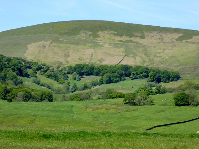
Broad Head is a prominent landscape feature located in the county of Yorkshire, England. It is situated in the northern part of the county, near the town of Keighley. This distinctive landform is part of the Pennine Hills, a range of rugged uplands that run through the region.
Rising to an elevation of approximately 450 meters (1476 feet), Broad Head offers breathtaking panoramic views of the surrounding countryside. The feature is characterized by its gently sloping sides, which are covered in a patchwork of green fields and heather moorland. The area is known for its diverse wildlife, including birds of prey, such as kestrels and peregrine falcons, and rare species of flora and fauna.
Broad Head is a popular destination for hikers, nature enthusiasts, and photographers, who flock to the area to explore its natural beauty. Numerous walking trails crisscross the landscape, allowing visitors to fully immerse themselves in the picturesque surroundings. Additionally, the nearby village of Haworth, famous as the home of the Brontë sisters, adds to the area's cultural appeal.
The landscape of Broad Head is influenced by its location within the Pennines, which experiences a typically cool and wet climate. Rainfall is relatively high throughout the year, contributing to the lush vegetation and peat bogs found in the area. The weather can be changeable, with mist and fog often descending upon the hills, adding an air of mystery to the landscape.
In conclusion, Broad Head is a captivating landscape feature in Yorkshire, offering a stunning blend of rugged terrain, natural beauty, and cultural significance. It is a must-visit destination for those seeking a true taste of the Yorkshire countryside.
If you have any feedback on the listing, please let us know in the comments section below.
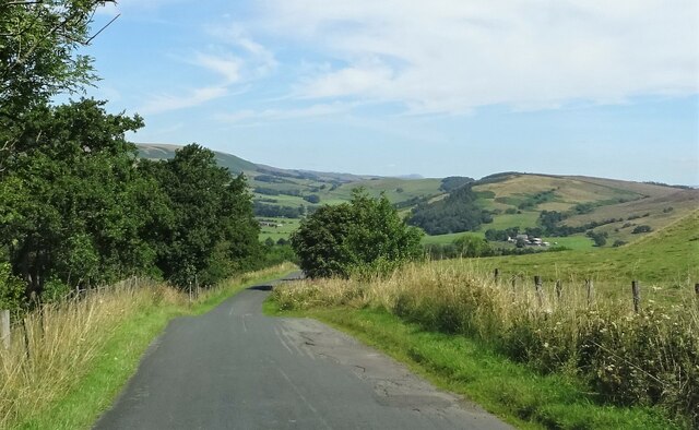
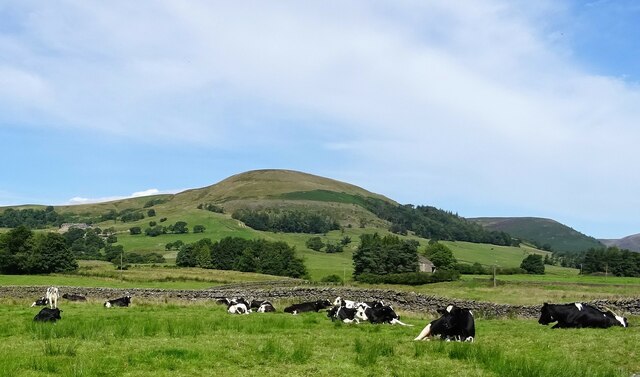
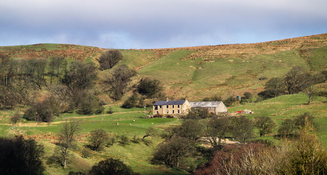
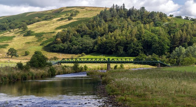
Broad Head Images
Images are sourced within 2km of 53.932502/-2.5526528 or Grid Reference SD6348. Thanks to Geograph Open Source API. All images are credited.


Broad Head is located at Grid Ref: SD6348 (Lat: 53.932502, Lng: -2.5526528)
Division: West Riding
Administrative County: Lancashire
District: Ribble Valley
Police Authority: Lancashire
What 3 Words
///loudness.broccoli.eggplants. Near Waddington, Lancashire
Nearby Locations
Related Wikis

Sykes Smelt Mill
Sykes Smelt Mill was a mediaeval mill located between Sykes and Hareden in Bowland Forest High, Lancashire, England. It stood on the banks of Langden Brook...

Langden Brook
Langden Brook is a watercourse in the Trough of Bowland, Lancashire, England. A tributary of the River Hodder, its source is near the summit of Hawthornthwaite...

Bowland Forest High milestone
The Bowland Forest High milestone is an historic milestone marker in the English parish of Bowland Forest High, in the Trough of Bowland, Lancashire. A...

Dunsop Bridge (structure)
Dunsop Bridge is a bridge in the English village of the same name. The structure, which dates to the early 19th century, crosses the River Dunsop. A Grade...
Nearby Amenities
Located within 500m of 53.932502,-2.5526528Have you been to Broad Head?
Leave your review of Broad Head below (or comments, questions and feedback).