Ivymoor Head
Landscape Feature in Gloucestershire Forest of Dean
England
Ivymoor Head
Ivymoor Head is a prominent landscape feature located in the county of Gloucestershire, England. Situated in the heart of the Cotswolds, it is part of a range of rolling hills that characterize the area. The hill is approximately 230 meters (750 feet) high, offering breathtaking panoramic views of the surrounding countryside.
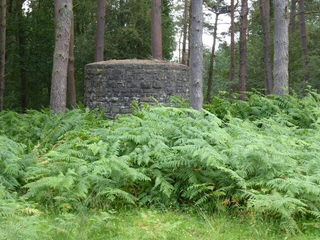
Covered in lush greenery, Ivymoor Head is known for its dense vegetation, which includes an abundance of ivy, hence its name. The hill is predominantly composed of limestone, a common rock formation in the Cotswolds, and features a gentle slope that gradually ascends to its peak. This gradual incline makes it a popular spot for hikers and nature enthusiasts looking to explore the area.
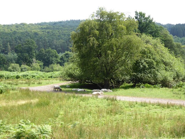
At the summit of Ivymoor Head, visitors are rewarded with sweeping vistas of the picturesque Cotswold landscape. The rolling hills and meandering streams create a quintessential English countryside scene, dotted with charming villages and historic buildings.
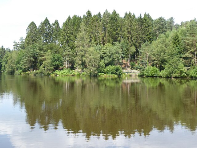
The area surrounding Ivymoor Head is also rich in wildlife, offering a habitat for various species of birds, mammals, and insects. The hill is part of a larger designated Area of Outstanding Natural Beauty, ensuring its preservation and protection.
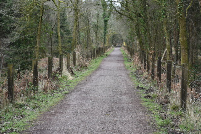
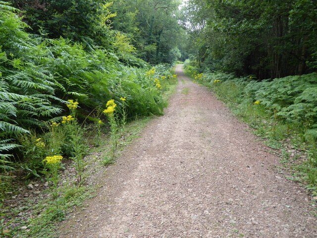
Ivymoor Head is easily accessible, with several footpaths and trails leading to its summit. Nature lovers and photographers are drawn to this landscape feature, particularly during the spring and summer months when the surrounding fields burst with colorful wildflowers. Whether exploring the hill on foot or simply admiring its beauty from afar, Ivymoor Head is a captivating and idyllic destination within the Gloucestershire countryside.
If you have any feedback on the listing, please let us know in the comments section below.
Ivymoor Head Images
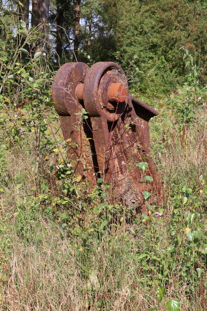
Images are sourced within 2km of 51.773505/-2.5461985 or Grid Reference SO6208. Thanks to Geograph Open Source API. All images are credited.


Ivymoor Head is located at Grid Ref: SO6208 (Lat: 51.773505, Lng: -2.5461985)
Administrative County: Gloucestershire
District: Forest of Dean
Police Authority: Gloucestershire
What 3 Words
///punks.reputable.archives. Near Bream, Gloucestershire
Nearby Locations
Related Wikis

Parkend Ironworks
Parkend Ironworks, also known as Parkend Furnace, in the village of Parkend, in the Forest of Dean, Gloucestershire, England, was a coke-fired furnace...

Parkend
Parkend is a village, located at the foot of the Cannop Valley, in the Royal Forest of Dean, West Gloucestershire, England, and has a history dating back...

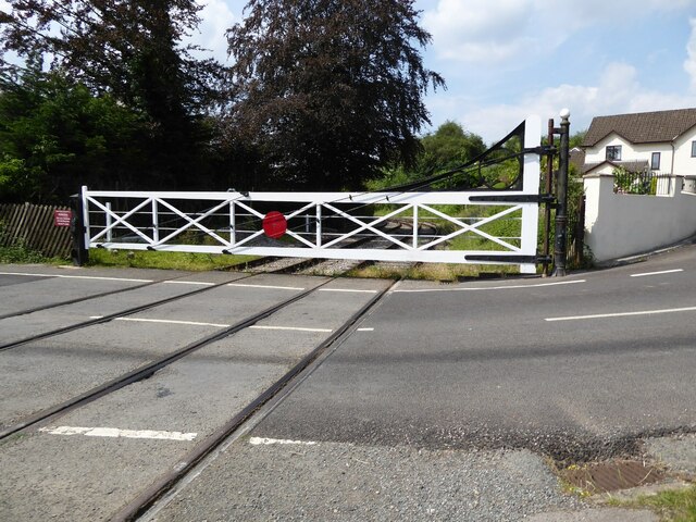
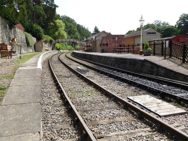
Parkend railway station
Parkend railway station is located in the village of Parkend, in the Forest of Dean, Gloucestershire. It is currently the northern terminus of the Dean...

Forest of Dean District
Forest of Dean is a local government district in west Gloucestershire, England, named after the Forest of Dean. Its council is based in Coleford. Other...
Nearby Amenities
Located within 500m of 51.773505,-2.5461985Have you been to Ivymoor Head?
Leave your review of Ivymoor Head below (or comments, questions and feedback).