Greenwich
Settlement in Suffolk Ipswich
England
Greenwich
Greenwich is a charming village located in Suffolk, a county in East Anglia, England. Situated about 5 miles southwest of the market town of Sudbury, Greenwich is known for its picturesque countryside, historic buildings, and tranquil atmosphere.
The village is set amidst rolling hills and lush green fields, creating a stunning backdrop for its quaint houses and cottages. One of the notable landmarks in Greenwich is the 15th-century St. Mary's Church, a beautiful medieval building with a tall tower that can be seen from far and wide. The church is renowned for its impressive stained glass windows and intricate stone carvings.
Greenwich offers a range of amenities for its residents and visitors. The village has a local pub, The Old Plough, where visitors can enjoy traditional pub food and ales, as well as a friendly atmosphere. There is also a village hall that hosts various community events and gatherings throughout the year.
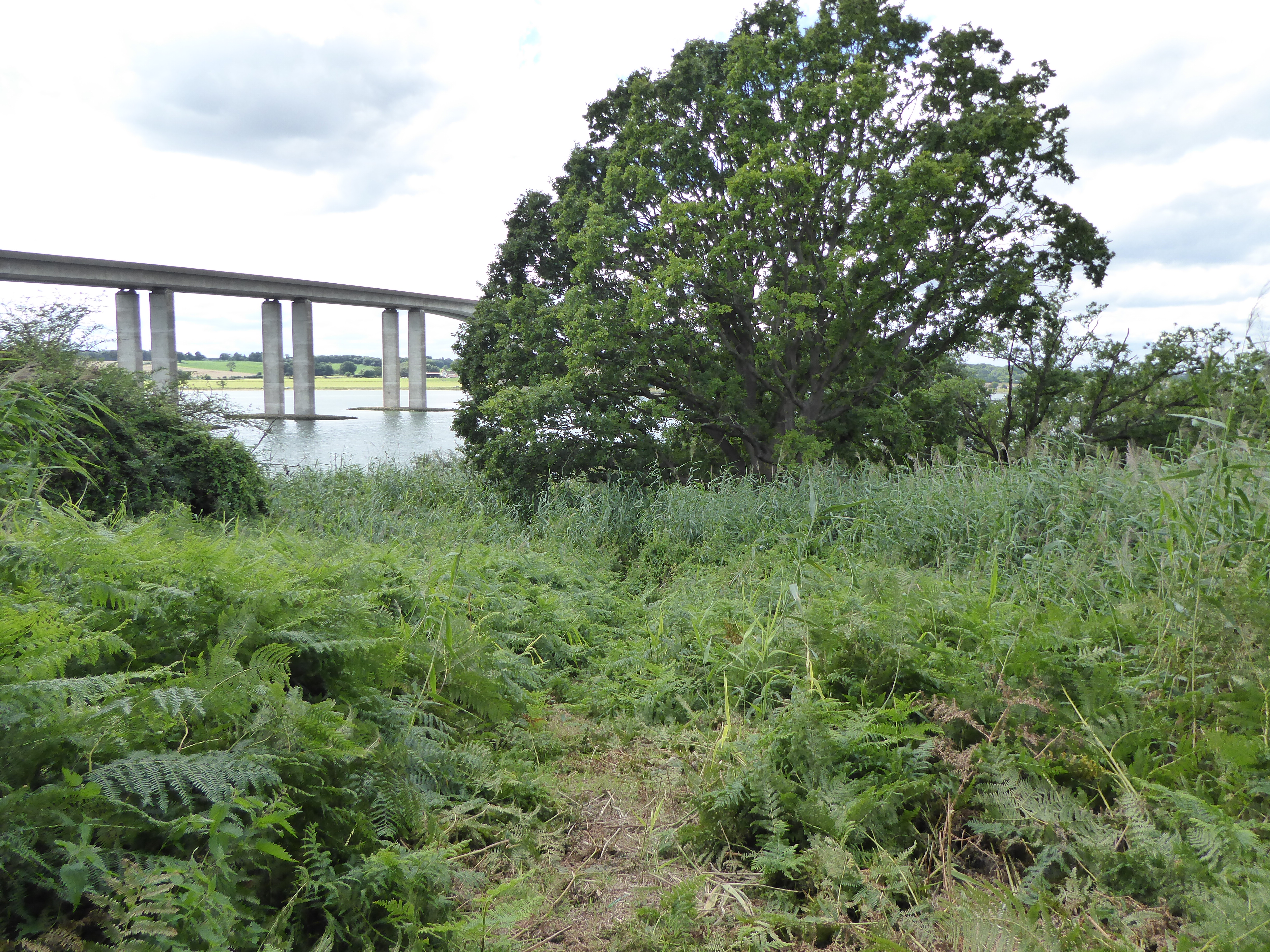
Nature enthusiasts will appreciate the surrounding countryside, which is ideal for walking, cycling, and exploring. The nearby River Stour provides opportunities for boating and fishing, while the surrounding woodlands are perfect for picnics and wildlife spotting.
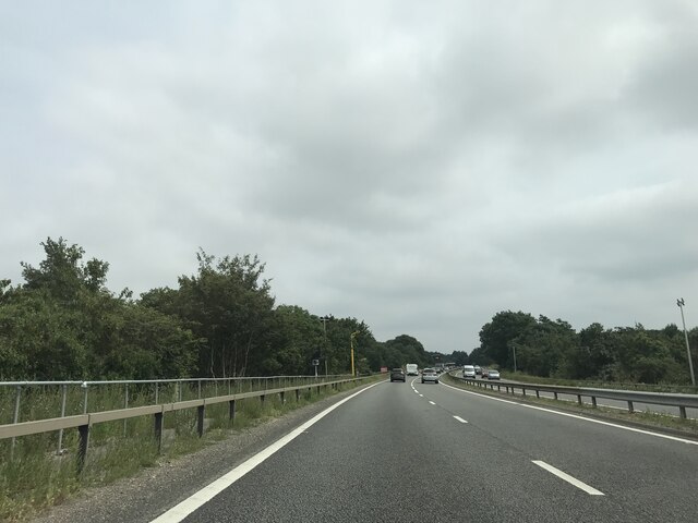
Despite its rural setting, Greenwich is well-connected to larger towns and cities. The A131 road runs nearby, providing easy access to Sudbury and other neighboring towns. Additionally, the village is served by several bus routes, making it convenient for those who prefer public transportation.
In summary, Greenwich is a charming village in Suffolk, offering a peaceful retreat in a beautiful countryside setting. With its historic buildings, idyllic landscapes, and warm community spirit, Greenwich is a delightful place to visit or call home.
If you have any feedback on the listing, please let us know in the comments section below.
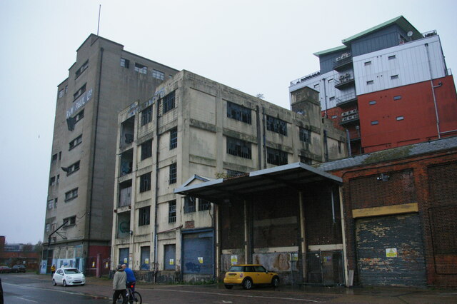
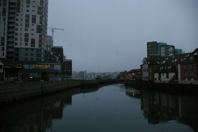
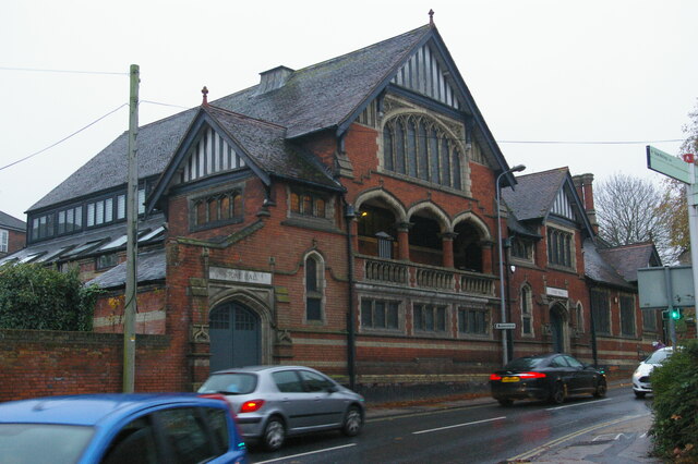
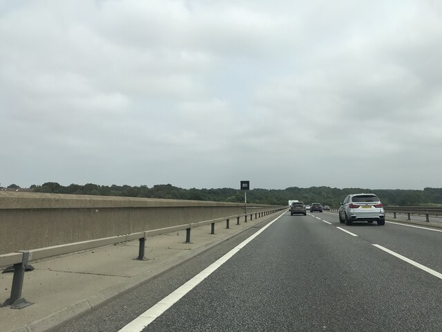
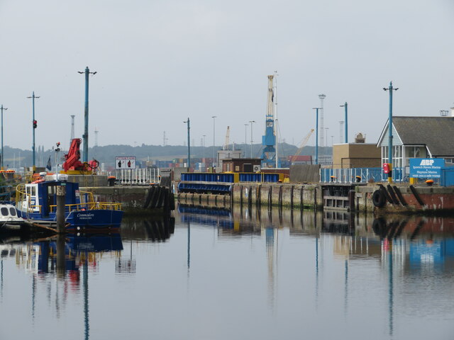
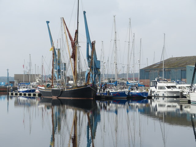
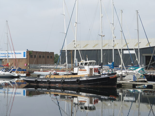
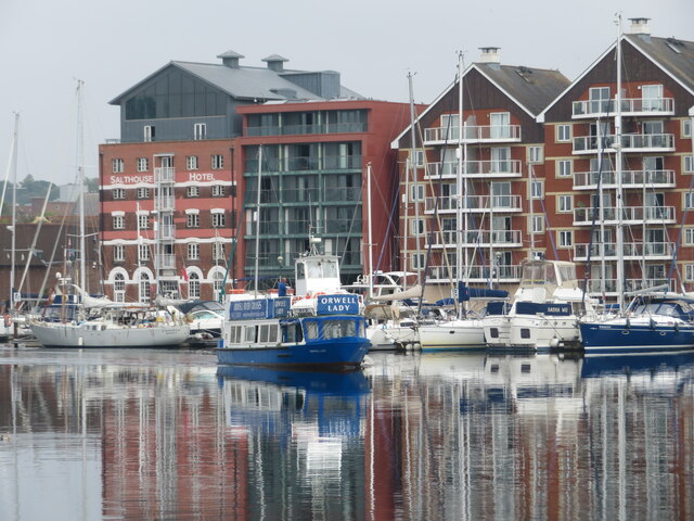
Greenwich Images
Images are sourced within 2km of 52.037201/1.1688314 or Grid Reference TM1742. Thanks to Geograph Open Source API. All images are credited.


Greenwich is located at Grid Ref: TM1742 (Lat: 52.037201, Lng: 1.1688314)
Administrative County: Suffolk
District: Ipswich
Police Authority: Suffolk
What 3 Words
///impressed.oppose.orchestra. Near Ipswich, Suffolk
Nearby Locations
Related Wikis

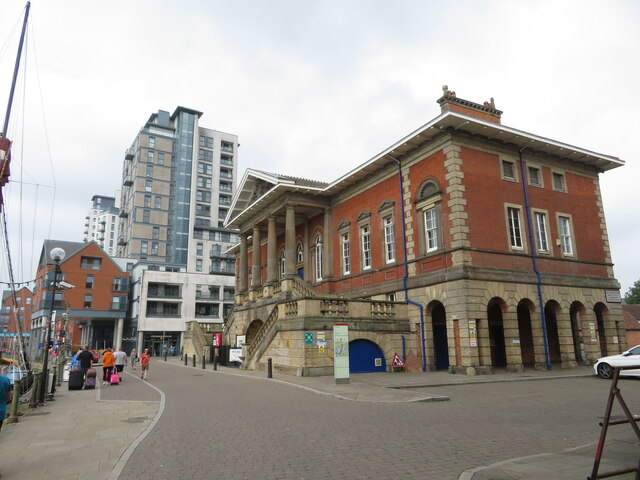
Greenwich, Ipswich
Greenwich is a suburban area of Ipswich, in the Ipswich district, in the county of Suffolk, England. For many years it was a hamlet included in the parish...
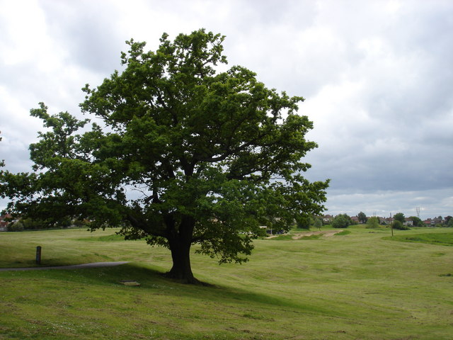
Landseer Park
Landseer Park is a large open green space north of Landseer Road, in the eastern suburbs of Ipswich, Suffolk, England. It is home to the Ipswich BMX Club...
South East Area, Ipswich
The South East Area, Ipswich is one of five administrative areas in Ipswich, through which Ipswich Borough Council divides its spending and enables feedback...
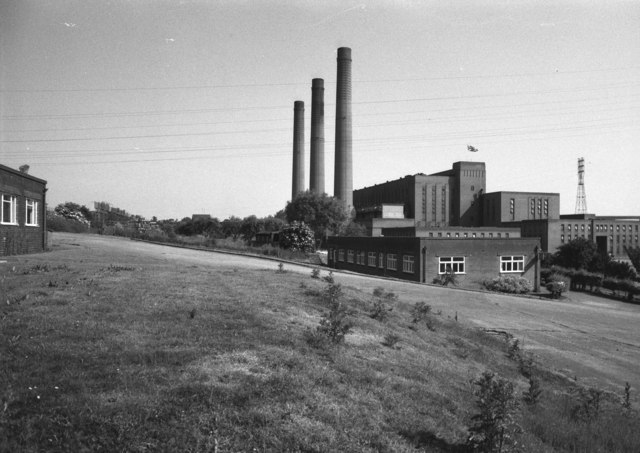
Cliff Quay Power Station
Cliff Quay Power Station was a coal-fired power station situated to the south of Ipswich, Suffolk in the East of England. The station was designed by Sir...

Gainsborough, Ipswich
Gainsborough is an area of Ipswich, in the Ipswich district, in the county of Suffolk, England. It was named after the artist Thomas Gainsborough of Sudbury...

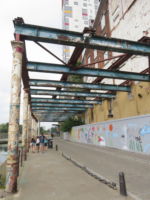
Cliff Brewery
The Cliff Brewery is a Grade II listed former brewery in Ipswich, England. The building dates to 1896 and was designed by William Bradford. == Location... ==

The Margaret Catchpole, Ipswich
The Margaret Catchpole is a pub in Cliff Lane, Ipswich in Suffolk, England. It is named after Margaret Catchpole, a servant of Elizabeth and John Cobbold...
Pipers Vale
Pipers Vale is a 19.7 hectare Local Nature Reserve on the southern outskirts of Ipswich in Suffolk. It is owned and managed by Ipswich Borough Council...
Nearby Amenities
Located within 500m of 52.037201,1.1688314Have you been to Greenwich?
Leave your review of Greenwich below (or comments, questions and feedback).