Den Head
Landscape Feature in Aberdeenshire
Scotland
Den Head
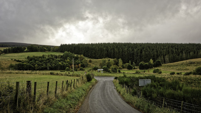
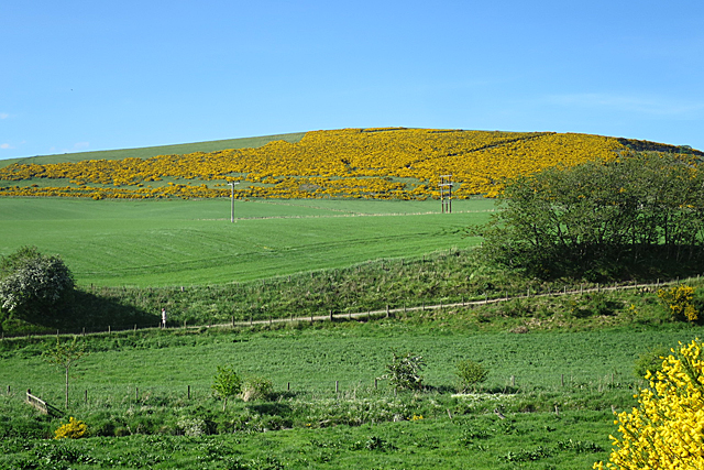
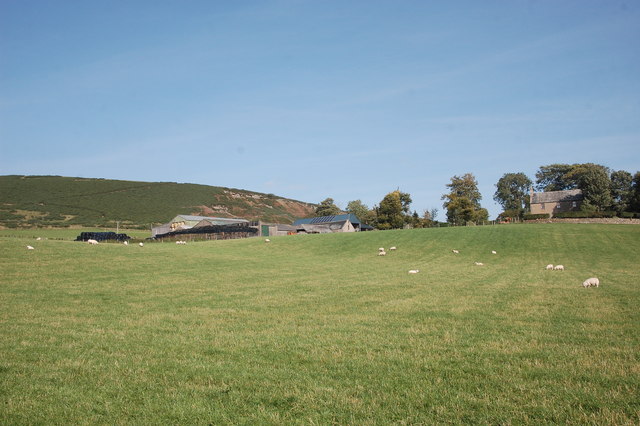
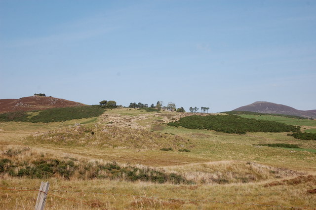
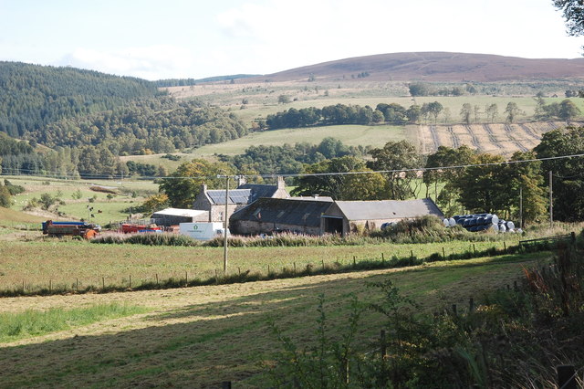
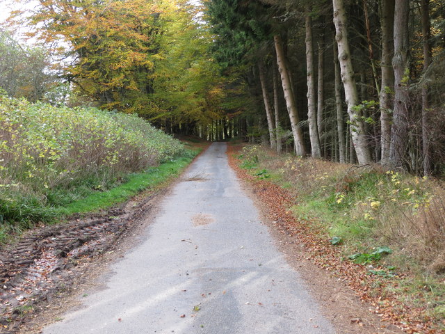
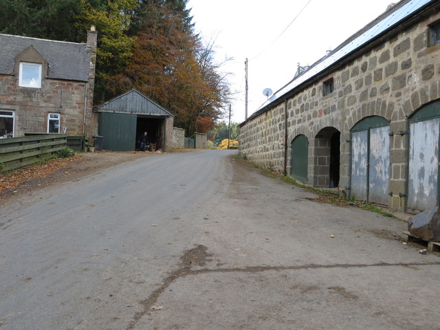
Den Head is a prominent landscape feature located in Aberdeenshire, Scotland. Situated near the village of New Deer, it is a small hill with a distinctive shape that stands out in the surrounding countryside. Rising to a height of approximately 150 meters, Den Head offers panoramic views of the surrounding area, making it a popular destination for locals and visitors alike.
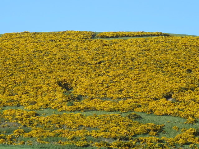
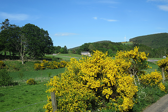
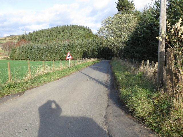
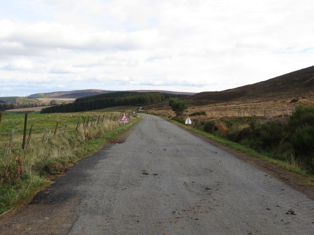
The hill is characterized by its gently sloping sides, which are covered in a mix of grasses and heather. The summit of Den Head is relatively flat, providing a perfect spot for picnics and taking in the breathtaking scenery that stretches as far as the eye can see. On a clear day, one can see the rolling hills and farmland that make up the rural landscape of Aberdeenshire, with occasional glimpses of the North Sea on the horizon.
Den Head is often frequented by hikers and nature enthusiasts, who enjoy exploring the various walking trails that wind their way around the hill. The area is also home to a diverse range of wildlife, including birds of prey, deer, and various species of wildflowers.
In addition to its natural beauty, Den Head also holds historical significance. It is believed to have been an important landmark during ancient times and may have played a role in local folklore and legends.
Overall, Den Head is a picturesque landscape feature that offers a tranquil retreat from the hustle and bustle of daily life. Its natural beauty and historical importance make it a must-visit destination for those exploring Aberdeenshire.
If you have any feedback on the listing, please let us know in the comments section below.
Den Head Images
Images are sourced within 2km of 57.309281/-2.8811362 or Grid Reference NJ4724. Thanks to Geograph Open Source API. All images are credited.

Den Head is located at Grid Ref: NJ4724 (Lat: 57.309281, Lng: -2.8811362)
Unitary Authority: Aberdeenshire
Police Authority: North East
What 3 Words
///passing.itself.messaging. Near Alford, Aberdeenshire
Related Wikis
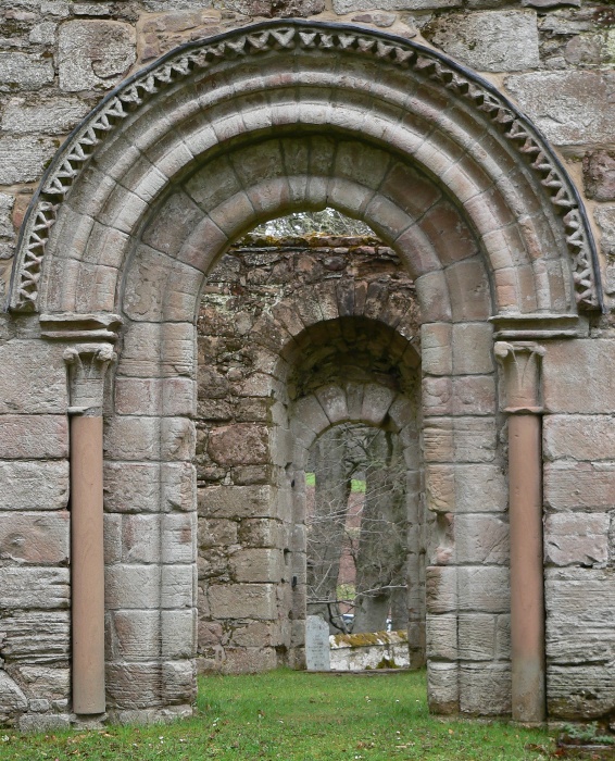
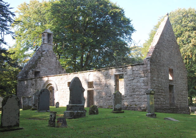
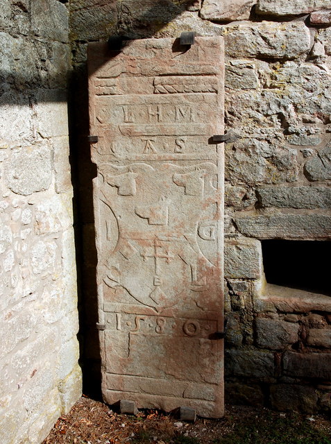
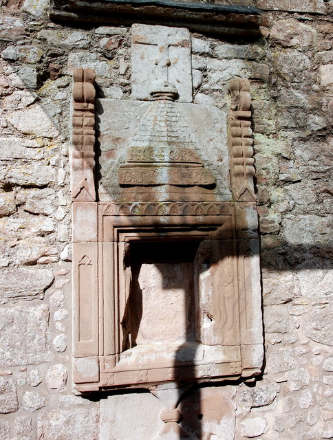
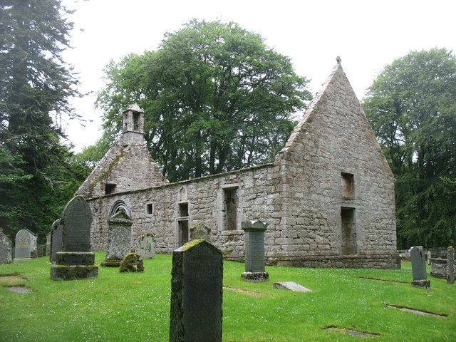
St Mary's Kirk, Auchindoir
St Mary's Kirk at Auchindoir, between Rhynie and Lumsden, in Aberdeenshire, Scotland, is one of the country's finest surviving medieval parish kirks. The...
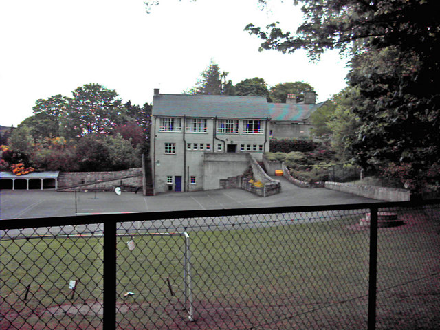
Lumsden, Aberdeenshire
Lumsden is an inland village in Aberdeenshire, Scotland on the A97 road. == Location == It crowns a rising-ground 227 m (745 ft) above sea level amid a...

Lesmoir Castle
Lesmoir Castle was a 16th-century castle, about 2.0 miles (3.2 km) west of Rhynie, Aberdeenshire, Scotland, south-west of Tap o' Noth, at Mains of Lesmoir...
Clova Monastery
Clova Monastery (also called Cloveth) was a medieval Culdee monastery in Kildrummy, Aberdeenshire, Scotland. == Founding == Clova was founded in the late...

Rhynie, Aberdeenshire
Rhynie () (Scottish Gaelic: Roinnidh) is a village in Aberdeenshire, Scotland. It is on the A97 road, 14 miles (23 km) northwest of Alford. The Rhynie...
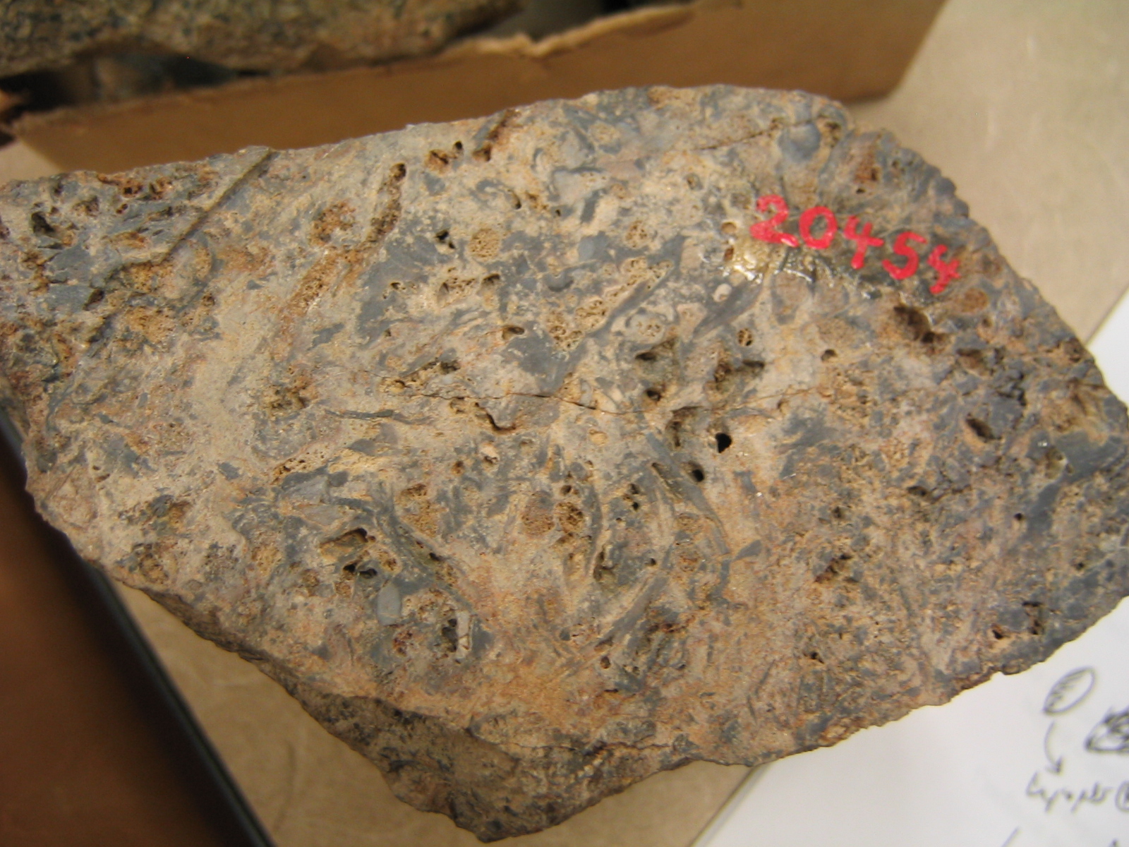
Rhynie chert
The Rhynie chert is a Lower Devonian sedimentary deposit exhibiting extraordinary fossil detail or completeness (a Lagerstätte). It is exposed near the...

Druminnor Castle
Druminnor Castle is an L-plan castle, dating from the early 15th century, about two miles east of Rhynnie, in a steep valley by the Keron burn, in Aberdeenshire...

Clashindarroch Forest
Clashindarroch Forest is possibly the largest forest in Aberdeenshire, situated to the south-west of the market town of Huntly. Managed by Forest Enterprise...
Nearby Amenities
Located within 500m of 57.309281,-2.8811362Have you been to Den Head?
Leave your review of Den Head below (or comments, questions and feedback).