Birkybrae Head
Landscape Feature in Roxburghshire
Scotland
Birkybrae Head

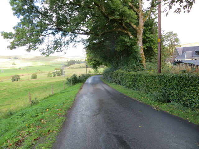
Birkybrae Head is a prominent landscape feature located in Roxburghshire, Scotland. Situated in the southern part of the country, this distinct headland offers breathtaking views and is a popular tourist attraction.
Rising to an elevation of approximately 300 meters (984 feet), Birkybrae Head commands an impressive position overlooking the surrounding countryside. It is characterized by its steep cliffs, which provide a dramatic backdrop against the rolling hills and lush green fields that stretch out below.
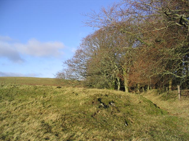
The headland is covered in an array of vegetation, including heather, grasses, and scattered trees. This diverse flora provides a habitat for a variety of wildlife, making it an ideal location for nature enthusiasts and bird-watchers. The area is home to several bird species, such as peregrine falcons, buzzards, and kestrels, which can often be spotted soaring above the cliffs.
Birkybrae Head also holds historical significance, with traces of ancient settlements found in the vicinity. Archaeological discoveries have revealed evidence of human activity dating back centuries, including remnants of stone structures and tools.
Visitors to Birkybrae Head can enjoy a range of activities, such as hiking along the well-maintained trails that wind through the headland. These paths offer stunning panoramic views of the surrounding landscape, providing ample opportunities for photography and scenic walks.
Overall, Birkybrae Head is a captivating landscape feature that showcases the natural beauty and rich history of Roxburghshire. Its rugged cliffs, diverse flora and fauna, and historical significance make it a must-visit destination for those seeking to immerse themselves in the Scottish countryside.
If you have any feedback on the listing, please let us know in the comments section below.
Birkybrae Head Images
Images are sourced within 2km of 55.349157/-2.9502072 or Grid Reference NT3906. Thanks to Geograph Open Source API. All images are credited.


Birkybrae Head is located at Grid Ref: NT3906 (Lat: 55.349157, Lng: -2.9502072)
Unitary Authority: The Scottish Borders
Police Authority: The Lothians and Scottish Borders
What 3 Words
///hails.ordeals.sticky. Near Teviothead, Scottish Borders
Nearby Locations
Related Wikis

Teviothead
Teviothead (Scottish Gaelic: Ceann Tìbhiot) is a small village and civil parish in Teviotdale in the Scottish Borders, known locally as Teviotheid. It...

Falnash
Falnash (Scots: Fawenesh) is a village in the Scottish Borders of Scotland. It is near Teviothead, in the former Roxburghshire, and in the parish of Teviothead...
Caerlanrig
Caerlanrig - also spelled 'Carlenrig' - (Gaelic: Cathair Lannraig) is a hamlet in the parish of Cavers, Borders, Scotland, lying on the River Teviot, 6...

River Teviot
The River Teviot (; Scottish Gaelic: Abhainn Tìbhiot), or Teviot Water, is a river of the Scottish Borders area of Scotland, and is the largest tributary...

Craik, Scottish Borders
Craik is a hamlet in Craik Forest, by the Airhouse Burn in the Scottish Borders area of Scotland, close to Roberton, Scottish Borders (grid reference NT348084...

Broadhaugh
Broadhaugh is a hamlet in the Scottish Borders area of Scotland, in the parish of Teviothead, in former Roxburghshire. == See also == List of places in...
Craik Forest
Craik Forest is a forest near Hawick in the Scottish Borders area of Scotland, and managed by the Forestry Commission. It is adjoined to the south-west...

Burnfoot, Roberton
Burnfoot (Scottish Gaelic: Bun na h-Aibhne) is a hamlet in the Scottish Borders area of Scotland, close to Roberton, by the Borthwick Water. The nearest...
Nearby Amenities
Located within 500m of 55.349157,-2.9502072Have you been to Birkybrae Head?
Leave your review of Birkybrae Head below (or comments, questions and feedback).