Ashes Point

Coastal Feature, Headland, Point in Lancashire South Lakeland

England

Ashes Point

Farm building in Arrad Foot
Farm building in Arrad Foot Credit: Neil Theasby

Ashes Point is a prominent headland located on the coast of Lancashire in England. Situated along the Irish Sea, this coastal feature is known for its stunning natural beauty and rich historical significance. The point itself juts out into the sea, forming a distinctive shape that is easily identifiable from a distance.

The headland is characterized by its rugged cliffs, which rise sharply from the sea, providing breathtaking panoramic views of the surrounding area. These cliffs are composed of sedimentary rocks, displaying layers of different colors and textures that have been shaped by erosion over thousands of years. The exposed rock formations also offer a glimpse into the geological history of the region.

Ashes Point is a popular destination for nature lovers and hikers, who come to explore the coastal trails that wind along the headland. These trails offer a chance to observe a diverse range of plant and animal species that inhabit the area, including seabirds, wildflowers, and rare coastal vegetation.

In addition to its natural beauty, Ashes Point holds historical significance. It is believed to have been a strategic location during various periods of conflict, including World War II, with remnants of military structures still visible today. Visitors can explore the remains of old bunkers and gun emplacements, gaining insight into the region's wartime past.

Overall, Ashes Point in Lancashire is a captivating coastal feature that offers a unique blend of natural beauty and historical importance. With its stunning cliffs, diverse wildlife, and remnants of the past, it serves as a popular destination for both outdoor enthusiasts and history buffs alike.

If you have any feedback on the listing, please let us know in the comments section below.
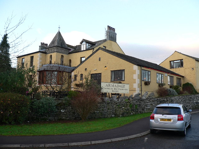
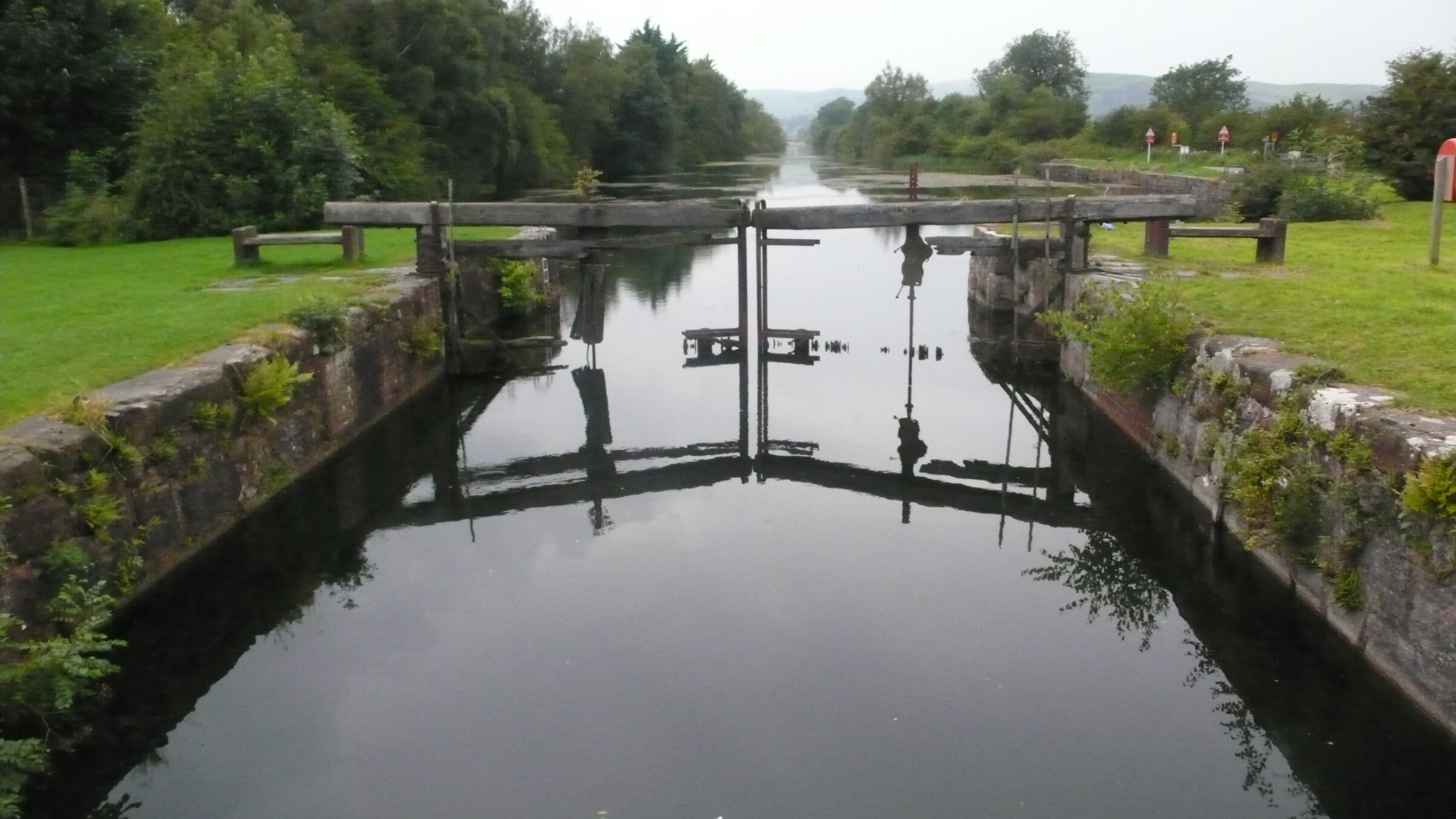
Ashes Point Images

Images are sourced within 2km of 54.208983/-3.0381029 or Grid Reference SD3279. Thanks to Geograph Open Source API. All images are credited.

Farm building in Arrad Foot
Leven Viaduct from Canal Foot The Leven Viaduct carries the Cumbrian Coast Line from the Cartmel Peninsula to the Furness Peninsula. It is to be closed for maintenance for 3 months in 2006, entailing a 15-mile diversion for passengers on coaches.
Leven Viaduct from Canal Foot
The Leven Viaduct carries the Cumbrian Coast Line from the Cartmel Peninsula to the Furness Peninsula. It is to be closed for maintenance for 3 months in 2006, entailing a 15-mile diversion for passengers on coaches.
Park Head Looking across the foreshore towards the Coniston Fells
Park Head
Looking across the foreshore towards the Coniston Fells
Limestone Low Frith On the shore a small limestone cliff
Limestone Low Frith
On the shore a small limestone cliff
Road to Frith Hall On the estuary of the River Leven. The fells are calling.
Road to Frith Hall
On the estuary of the River Leven. The fells are calling.
Plumpton Bight Leven Viaduct in view across the Bight
Plumpton Bight
Leven Viaduct in view across the Bight
Plumpton Hall Almost on the shore by the Leven estuary
Plumpton Hall
Almost on the shore by the Leven estuary
Great Oath Hill On the skyline.
Great Oath Hill
On the skyline.
A driver's view A driver's view of the Leven Viaduct from one of the older style diesel units.
A driver's view
A driver's view of the Leven Viaduct from one of the older style diesel units.
Hammerside Point Taken from Plumpton Hall looking across cartmel sands and Morecambe bay.
Hammerside Point
Taken from Plumpton Hall looking across cartmel sands and Morecambe bay.
Capeshead Embankment A view from Capes Head of a Barrow to Manchester train crossing Capeshead Embankment with the Levens Estuary and the "replica" Eddystone Lighthouse on Hoad hill above Ulverston in the background.
Capeshead Embankment
A view from Capes Head of a Barrow to Manchester train crossing Capeshead Embankment with the Levens Estuary and the "replica" Eddystone Lighthouse on Hoad hill above Ulverston in the background.
Plumpton Junction The site of the junction for the branch to Lakeside (now truncated from Haverthwaite) and also a further branch to the Glaxo Works and Conishead Priory which ran across the fields to the left.
Plumpton Junction
The site of the junction for the branch to Lakeside (now truncated from Haverthwaite) and also a further branch to the Glaxo Works and Conishead Priory which ran across the fields to the left.
Train crossing the Leven viaduct The picture shows just the start of the viaduct which has 48 piers supporting it across the estuary. The picture was taken at high tide.
Train crossing the Leven viaduct
The picture shows just the start of the viaduct which has 48 piers supporting it across the estuary. The picture was taken at high tide.
The banks of the river Leven At high tide, as shown here, this river increases massively in size.
The banks of the river Leven
At high tide, as shown here, this river increases massively in size.
Plumpton Bight at high tide Looking towards the Leven viaduct this picture shows the extent of this estuary when the tide is high.
Plumpton Bight at high tide
Looking towards the Leven viaduct this picture shows the extent of this estuary when the tide is high.
Low cliffs on the river Leven Gorse covers these low cliffs above the high water level of the Leven estuary.
Low cliffs on the river Leven
Gorse covers these low cliffs above the high water level of the Leven estuary.
Low Frith viewed from across the Leven Estuary
Ashes Point
Ashes Point
Show me another place!

Ashes Point is located at Grid Ref: SD3279 (Lat: 54.208983, Lng: -3.0381029)

Administrative County: Cumbria

District: South Lakeland

Police Authority: Cumbria

What 3 Words

///soup.shoulders.starting. Near Ulverston, Cumbria

Nearby Locations

Ashes Point Ashes Wood

Related Wikis

Arrad Foot

Arrad Foot is a hamlet in South Lakeland, Cumbria, England. The hamlet is situated on a minor road just off the A590 road, with the village of Greenodd...

Canal Foot

Canal Foot is an industrial village in Cumbria, England, on the Leven estuary. It is located 1.7 miles (2.7 km) by road to the east of the centre of Ulverston...

Greenodd railway station

Greenodd railway station was on the route between Ulverston and Lakeside, built by the Furness Railway. It served the village of Greenodd, then in Lancashire...

Ulverston Canal

The Ulverston Canal is a 1.25 miles (2 km) ship canal that connects the town of Ulverston, Cumbria, England with Morecambe Bay. The waterway, which is...

River Crake

The River Crake is a short river in the English Lake District. The name probably derives from the Celtic languages (most likely Brythonic languages; ie...

River Leven, Cumbria

The River Leven (pron. LEV-ən) is a short river in the ceremonial county of Cumbria, falling within the historic boundaries of Lancashire. It drains Windermere...

Greenodd

Greenodd is a village in the Furness area of the county of Cumbria, England, but within the historical county of Lancashire. For local government purposes...

Egton with Newland

Egton with Newland, sometimes written as "Egton-with-Newland", is a civil parish in the South Lakeland district of the English county of Cumbria. It includes...

Nearby Amenities

Located within 500m of 54.208983,-3.0381029
Source: PGS
Lat/Long: 54.2045573/-3.0392784
Source: PGS
Lat/Long: 54.204807/-3.0397594
Source: PGS
Lat/Long: 54.2057868/-3.0402457
Source: PGS
Lat/Long: 54.2063335/-3.0404712
Source: PGS
Lat/Long: 54.2065198/-3.040563
Source: PGS
Lat/Long: 54.2077397/-3.0393839
The data included in this document is from www.openstreetmap.org. The data is made available under ODbL.

Have you been to Ashes Point?

Leave your review of Ashes Point below (or comments, questions and feedback).