Maskel Point

Coastal Feature, Headland, Point in Lancashire South Lakeland

England

Maskel Point

Metal post on a sand bank Above the metal post the village of Baycliff can be seen 2.5 kilometres away in the distance
Metal post on a sand bank Credit: Stephen Middlemiss

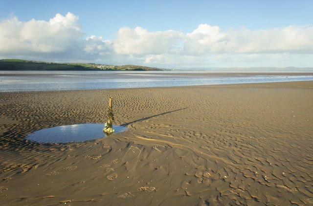
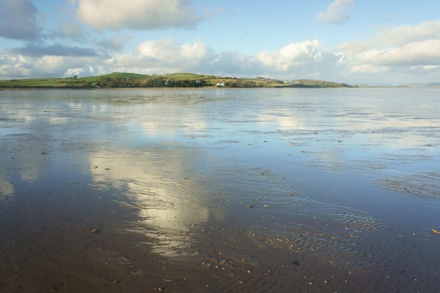
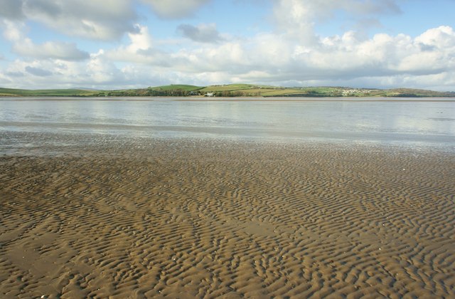
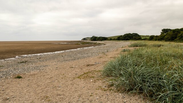
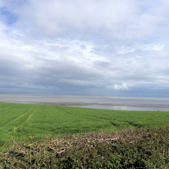
Maskel Point is a prominent headland located in the county of Lancashire, England. Situated on the coastline, this coastal feature juts out into the Irish Sea, offering breathtaking views and a distinctive landmark in the region. The point is known for its rugged and rocky terrain, with steep cliffs that drop down to the crashing waves below.

The headland is characterized by its unique geology, with layers of sedimentary rock that have been shaped by years of erosion from the sea. This erosion has created caves, arches, and stacks along the coastline, adding to the dramatic beauty of the area. The rocks are predominantly made up of sandstone and shale, creating a striking contrast against the deep blue waters of the Irish Sea.

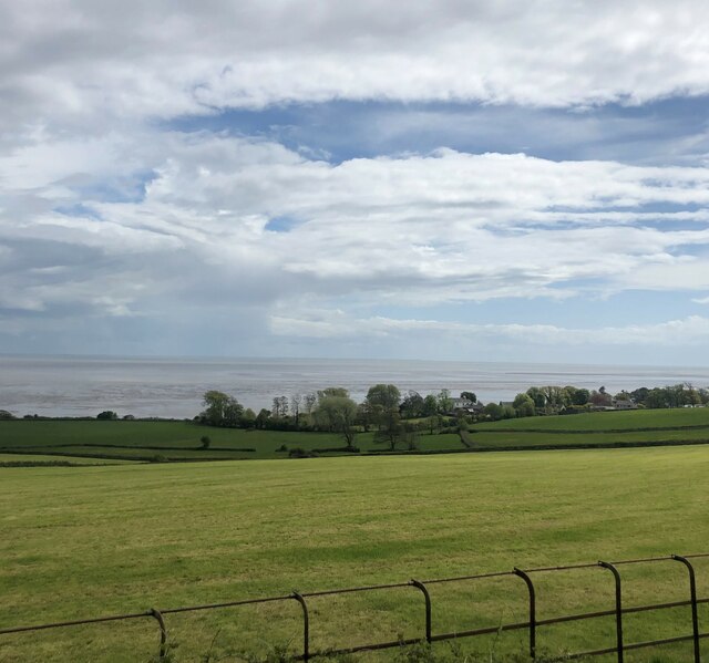
Maskel Point is a popular destination for nature enthusiasts and outdoor adventurers. It offers a range of activities such as hiking, bird watching, and photography, attracting visitors from near and far. The headland is also home to a variety of wildlife, including seabirds, marine mammals, and rare plant species.

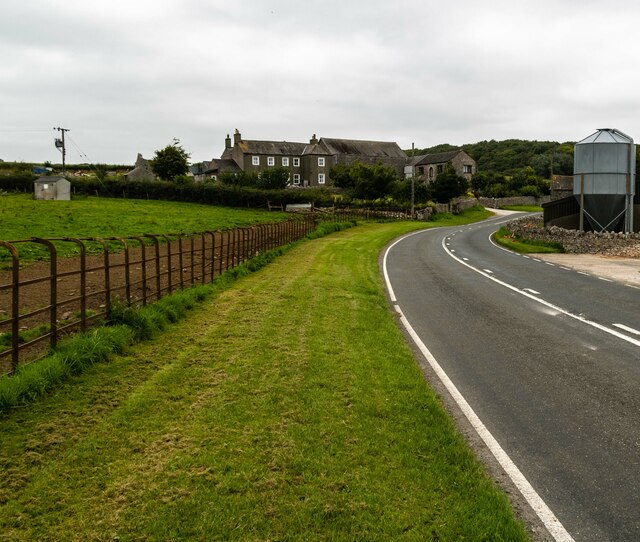
The point is easily accessible, with a well-maintained footpath that leads visitors along the cliff tops, providing panoramic views of the surrounding area. Additionally, there are designated viewing points that offer excellent vantage points for observing the local wildlife and the crashing waves against the cliffs.

Overall, Maskel Point is a stunning coastal feature that showcases Lancashire's natural beauty. Its rugged cliffs, unique geology, and abundant wildlife make it a must-visit destination for nature lovers and those seeking a peaceful retreat by the sea.

If you have any feedback on the listing, please let us know in the comments section below.

Maskel Point Images

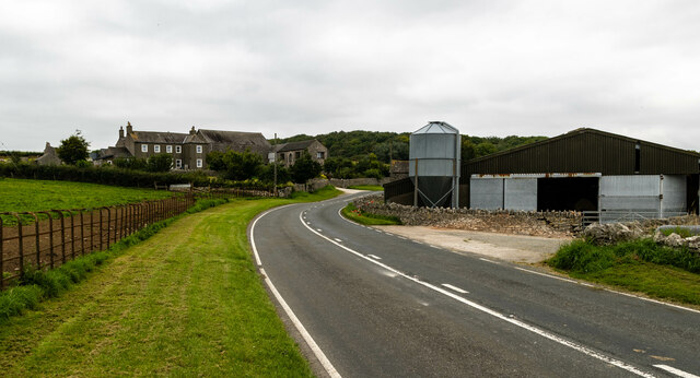
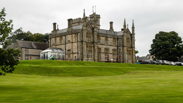
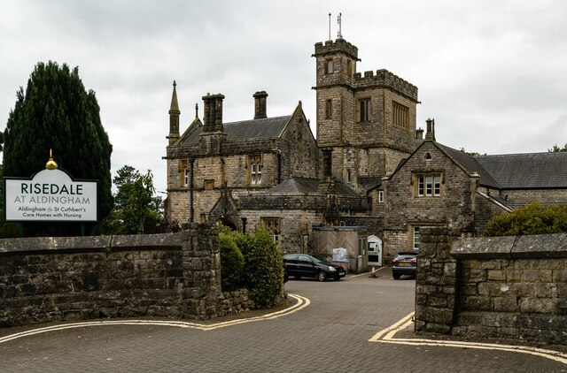
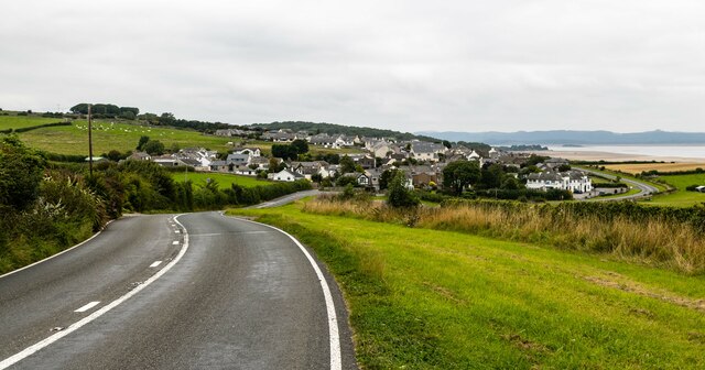
Images are sourced within 2km of 54.136434/-3.0878536 or Grid Reference SD2971. Thanks to Geograph Open Source API. All images are credited.

Metal post on a sand bank Above the metal post the village of Baycliff can be seen 2.5 kilometres away in the distance
Metal post on a sand bank
Above the metal post the village of Baycliff can be seen 2.5 kilometres away in the distance
Sand flat in the intertidal zone St Cuthbert’s Church Aldingham is just left of the white building
Sand flat in the intertidal zone
St Cuthbert’s Church Aldingham is just left of the white building
Sand flat in the intertidal zone St Cuthbert’s Church Aldingham is just to the left of the white building
Sand flat in the intertidal zone
St Cuthbert’s Church Aldingham is just to the left of the white building
A5087 Coast Road The A5087 Coast Road in Sea Wood.
A5087 Coast Road
The A5087 Coast Road in Sea Wood.
A5087 Coast Road The A5087 Coast Road at Seawood Farm.
A5087 Coast Road
The A5087 Coast Road at Seawood Farm.
Aldingham Nursing Home
Aldingham Hall
Aldingham Hall
Elbow Scar
Elbow Scar
Seawood Farm
Seawood Farm
Grass for Silage near Baycliff
View to Aldingham From the A5087
View to Aldingham
From the A5087
Ordnance Survey Cut Mark This OS cut mark can be found on the west angle of St Cuthbert's Church. It marks a point 12.779m above mean sea level.
Ordnance Survey Cut Mark
This OS cut mark can be found on the west angle of St Cuthbert's Church. It marks a point 12.779m above mean sea level.
Standing Stone near Scales and Aldingham As close as I could get.
Standing Stone near Scales and Aldingham
As close as I could get.
Birkrigg Common In the background is Bardsea church
Birkrigg Common
In the background is Bardsea church
Decaying breakwater at Elbow Scar, Aldingham, Furness Looking NNE to Aldingham Village. The tides in Morecambe Bay come in very rapidly and together with the quicksands make the bay a dangerous place for the careless
Decaying breakwater at Elbow Scar, Aldingham, Furness
Looking NNE to Aldingham Village. The tides in Morecambe Bay come in very rapidly and together with the quicksands make the bay a dangerous place for the careless
Aldingham Church
Aldingham Church
Fishermans Arms Hotel, Baycliff This photo was taken at the entrance of the Car Park.
Update August 2010: The establishment is now closed.
Fishermans Arms Hotel, Baycliff
This photo was taken at the entrance of the Car Park. Update August 2010: The establishment is now closed.
Show me another place!

Maskel Point is located at Grid Ref: SD2971 (Lat: 54.136434, Lng: -3.0878536)

Administrative County: Cumbria

District: South Lakeland

Police Authority: Cumbria

What 3 Words

///preheated.risking.bracing. Near Swarthmoor, Cumbria

Related Wikis

Baycliff

Baycliff is a seaside village in the South Lakeland District of Cumbria in England. Historically in Lancashire, it lies 3 miles (4.8 km) south of Ulverston...

Aldingham

Aldingham is a village and civil parish in the South Lakeland district of Cumbria, England. Historically in Lancashire, it is situated on the east coast...

Scales, Aldingham

Scales is a small village in Westmorland and Furness, Cumbria, England. The town of Ulverston is around 3.5 miles south of the village. The name Scales...

Birkrigg stone circle

The Birkrigg stone circle (also known as the Druid's Temple or Druids' Circle) is a Bronze Age stone circle on Birkrigg Common, two miles south of Ulverston...

Nearby Amenities

Located within 500m of 54.136434,-3.0878536
Source: PGS
Lat/Long: 54.1331835/-3.0922923
Source: PGS
Lat/Long: 54.1334399/-3.0921009
Source: PGS
Lat/Long: 54.1338581/-3.0918541
Source: PGS
Lat/Long: 54.1342339/-3.091335
Source: PGS
Lat/Long: 54.1346331/-3.090829
Source: PGS
Lat/Long: 54.134876/-3.0904362
Source: PGS
Lat/Long: 54.135019/-3.0901723
Source: PGS
Lat/Long: 54.1351495/-3.0899405
Source: PGS
Lat/Long: 54.135276/-3.089732
Source: PGS
Lat/Long: 54.1354015/-3.0895098
Source: PGS
Lat/Long: 54.135527/-3.089297
Source: PGS
Lat/Long: 54.135675/-3.089061
Source: PGS
Lat/Long: 54.1360039/-3.0885216
Source: PGS
Lat/Long: 54.136377/-3.0879986
Source: PGS
Lat/Long: 54.136809/-3.0876915
Source: PGS
Lat/Long: 54.137327/-3.0876626
Source: PGS
Lat/Long: 54.1379065/-3.0876423
Source: PGS
Lat/Long: 54.1383844/-3.0876902
Source: PGS
Lat/Long: 54.1390563/-3.0870814
Source: PGS
Lat/Long: 54.1395141/-3.086483
Source: PGS
Lat/Long: 54.1400214/-3.0861572
Power: pole
Lat/Long: 54.1388178/-3.088992
Power: pole
Lat/Long: 54.1391463/-3.0881453
Power: pole
Lat/Long: 54.1386117/-3.0883565
Power: pole
Lat/Long: 54.138984/-3.0897485
Power: pole
Lat/Long: 54.1391206/-3.0903906
Power: pole
Lat/Long: 54.1393383/-3.0911053
Power: pole
Lat/Long: 54.1396578/-3.0917541
The data included in this document is from www.openstreetmap.org. The data is made available under ODbL.

Have you been to Maskel Point?

Leave your review of Maskel Point below (or comments, questions and feedback).