Craig Head

Landscape Feature in Peeblesshire

Scotland

Craig Head

Megget Reservoir The reservoir was opened on 30th September 1983 and under normal conditions has an area of water surface of 259Ha (640 acres).
Megget Reservoir Credit: Walter Baxter

Craig Head is a prominent landscape feature located in Peeblesshire, a historic county in the Scottish Borders region of Scotland. It stands at an elevation of approximately 510 meters (1,670 feet) above sea level, making it one of the highest points in the area.

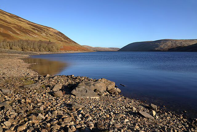
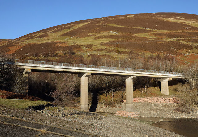
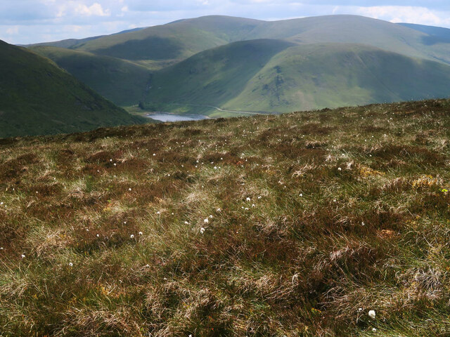
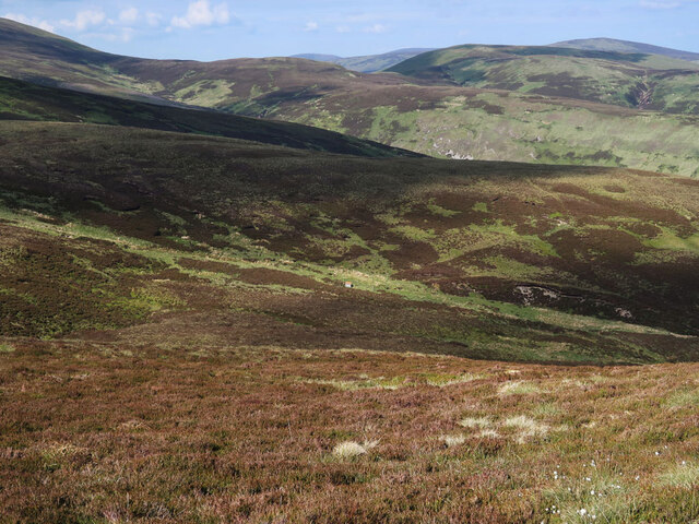
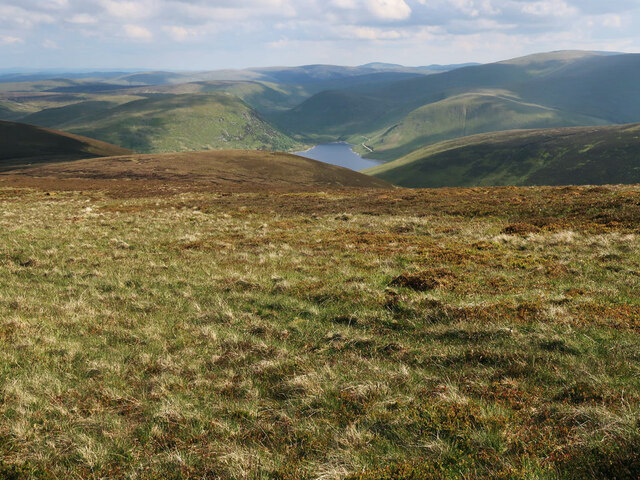
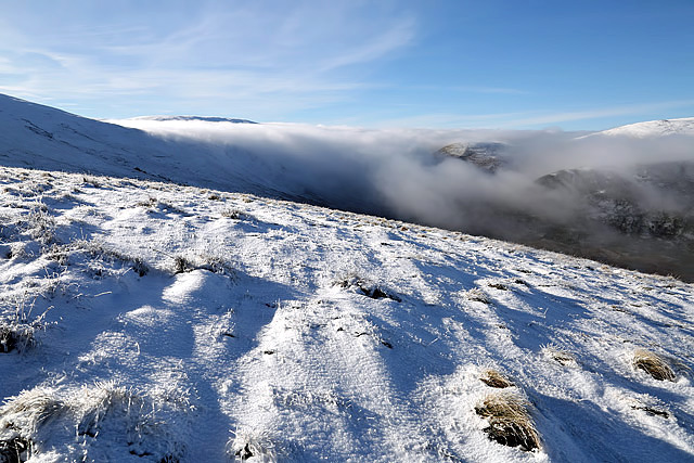
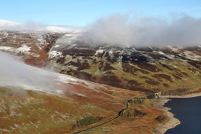
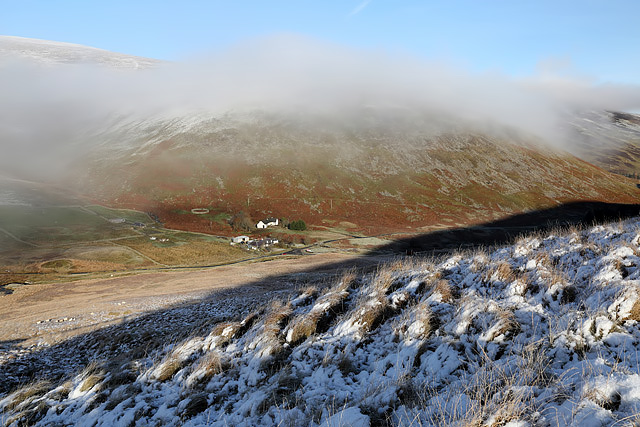
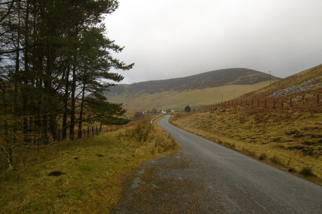
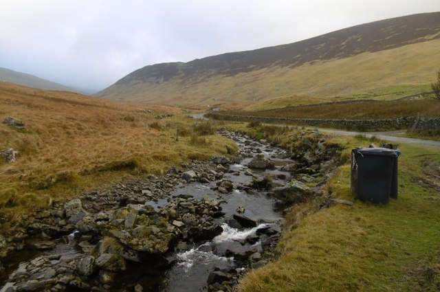
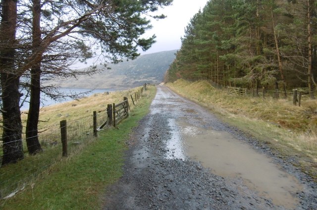
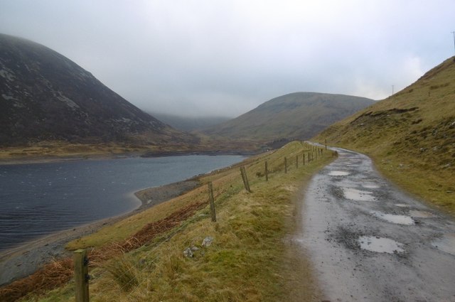
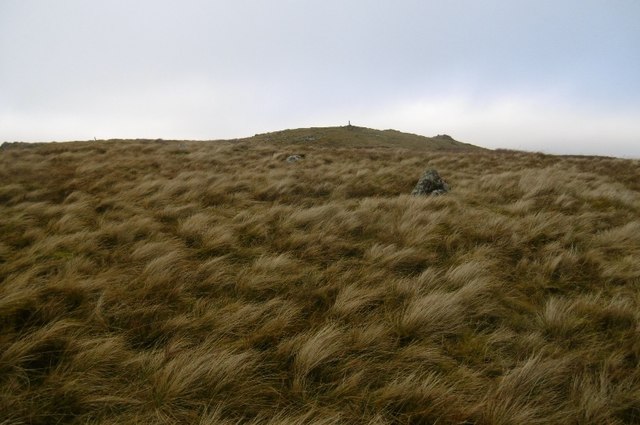
The landscape surrounding Craig Head is characterized by rolling hills and vast open spaces, offering breathtaking panoramic views of the surrounding countryside. The terrain is predominantly composed of grassy slopes and heather-clad moorlands, with scattered clusters of trees dotting the landscape.

The summit of Craig Head is marked by a cairn, a man-made pile of stones traditionally used as a landmark or memorial. From this vantage point, visitors can enjoy stunning vistas of the Tweed Valley, the Moorfoot Hills, and the Southern Uplands. On clear days, it is even possible to catch a glimpse of the distant Edinburgh skyline, approximately 40 kilometers (25 miles) to the north.

Craig Head is a popular destination for outdoor enthusiasts, offering opportunities for hillwalking, hiking, and nature photography. The area is home to a variety of wildlife, including red grouse, mountain hares, and various bird species. The surrounding moorlands also support a diverse range of plant life, adding to the natural beauty of the landscape.

Access to Craig Head is facilitated by a network of footpaths and trails, allowing visitors to explore the area and appreciate its natural splendor. Whether one seeks solitude in nature or seeks adventure in the great outdoors, Craig Head provides a captivating destination for all who visit.

If you have any feedback on the listing, please let us know in the comments section below.

Craig Head Images

Images are sourced within 2km of 55.484192/-3.3125912 or Grid Reference NT1721. Thanks to Geograph Open Source API. All images are credited.

Megget Reservoir The reservoir was opened on 30th September 1983 and under normal conditions has an area of water surface of 259Ha (640 acres).
Megget Reservoir
The reservoir was opened on 30th September 1983 and under normal conditions has an area of water surface of 259Ha (640 acres).
A road bridge over the Linghope Burn This is where the Linghope Burn flows into Megget Reservoir.
A road bridge over the Linghope Burn
This is where the Linghope Burn flows into Megget Reservoir.
Looking to Meggethead On the minor road between Talla Reservoir and Megget Reservoir looking east to the remote settlement of Meggethead as the light begins to fade on a lovely but bitter January day.
Looking to Meggethead
On the minor road between Talla Reservoir and Megget Reservoir looking east to the remote settlement of Meggethead as the light begins to fade on a lovely but bitter January day.
Heather moorland and cotton grass on Clockmore Looking towards Dead for Cauld at the western end of the Megget Reservoir.
Heather moorland and cotton grass on Clockmore
Looking towards Dead for Cauld at the western end of the Megget Reservoir.
Moorland on Clockmore Looking towards the start of Stottin Cleuch and Stottin Rig.
Moorland on Clockmore
Looking towards the start of Stottin Cleuch and Stottin Rig.
Moorland on Cramalt Craig Looking down to Pykestone Knowe and the Megget Reservoir.
Moorland on Cramalt Craig
Looking down to Pykestone Knowe and the Megget Reservoir.
Wylies Hill A scree covered truncated spur above the Megget Water.
Wylies Hill
A scree covered truncated spur above the Megget Water.
Stell, Megget Water Upstream of the reservoir, high in the Tweedsmuir Hills.
Stell, Megget Water
Upstream of the reservoir, high in the Tweedsmuir Hills.
Dead for Cauld This is at the northern slopes of the hill in late November.
Dead for Cauld
This is at the northern slopes of the hill in late November.
Ling Hope This view of Ling Hope on the northwest side of Megget Reservoir was taken from Dead for Cauld.
Ling Hope
This view of Ling Hope on the northwest side of Megget Reservoir was taken from Dead for Cauld.
Meggethead from Dead for Cauld This small farm is at the southwest end of Megget Reservoir.
Meggethead from Dead for Cauld
This small farm is at the southwest end of Megget Reservoir.
Megget road Near the end of the reservoir and approaching the original road at Meggethead.
Megget road
Near the end of the reservoir and approaching the original road at Meggethead.
Megget Water Flowing past the carefully tethered bins of Winterhope. It was very windy.
Megget Water
Flowing past the carefully tethered bins of Winterhope. It was very windy.
Road to Winterhopeburn Long access road to the cottage and farm buildings at Winterhopeburn. The road was built following the flooding of the old road up to the original Winterhopeburn further up the glen.
Road to Winterhopeburn
Long access road to the cottage and farm buildings at Winterhopeburn. The road was built following the flooding of the old road up to the original Winterhopeburn further up the glen.
Road to Winterhope A new road, the old one was flooded by the reservoir.
Road to Winterhope
A new road, the old one was flooded by the reservoir.
Head of Megget Reservoir One of the two main feeders for the reservoir - Winterhope Burn.
Head of Megget Reservoir
One of the two main feeders for the reservoir - Winterhope Burn.
Sheep, Winterhope Sheep beside the flooded lower part of Winter Hope. Megget Reservoir was rather agitated by a strong wind funnelling down Winter Hope. I was blown off the road a little later.
Sheep, Winterhope
Sheep beside the flooded lower part of Winter Hope. Megget Reservoir was rather agitated by a strong wind funnelling down Winter Hope. I was blown off the road a little later.
Craigdilly Nearing the summit.  Hard work avoiding camera shake and flying in a very strong westerly.
Craigdilly
Nearing the summit. Hard work avoiding camera shake and flying in a very strong westerly.
Show me another place!

Craig Head is located at Grid Ref: NT1721 (Lat: 55.484192, Lng: -3.3125912)

Unitary Authority: The Scottish Borders

Police Authority: The Lothians and Scottish Borders

What 3 Words

///procured.insert.dominate. Near Ettrick, Scottish Borders

Nearby Locations

Craig Head

Related Wikis

Megget Reservoir

Megget Reservoir is an impounding reservoir in the Megget valley in Ettrick Forest, in the Scottish Borders. The 259 hectares (640 acres) reservoir is...

Broad Law

Broad Law is a hill in the Manor Hills range, part of the Southern Uplands of Scotland. The second-highest point in the Southern Uplands and the highest...

Megget

Megget is a former chapelry or parish containing the valley of Megget Water, now forming the westernmost part of the parish of Yarrow, Selkirkshire in...

Craigierig

Craigierig is a village on the Megget Reservoir, in the Scottish Borders area of Scotland, in the former Selkirkshire. Places nearby include the Glengaber...

Nearby Amenities

Located within 500m of 55.484192,-3.3125912
Material: wood
Power: pole
Lat/Long: 55.4800675/-3.310262
Material: wood
Power: pole
Lat/Long: 55.4810904/-3.307085
Power: pole
Lat/Long: 55.4807747/-3.3080656
Power: pole
Lat/Long: 55.4804668/-3.3090218
Power: pole
Lat/Long: 55.4798451/-3.3113481
The data included in this document is from www.openstreetmap.org. The data is made available under ODbL.

Have you been to Craig Head?

Leave your review of Craig Head below (or comments, questions and feedback).