Sròn Tulaich Bhric
Landscape Feature in Perthshire
Scotland
Sròn Tulaich Bhric

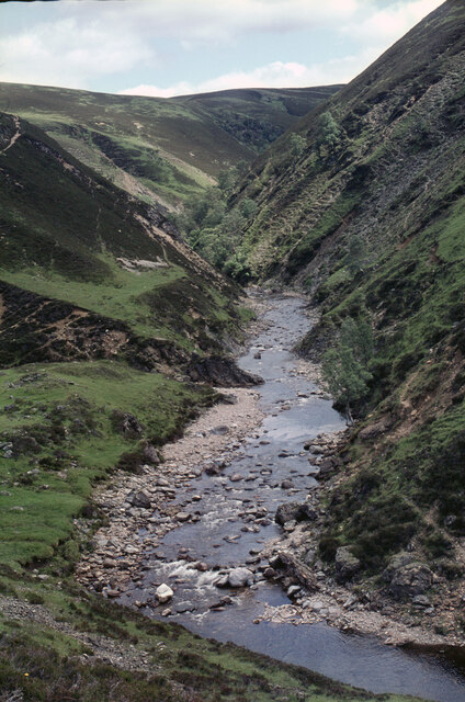
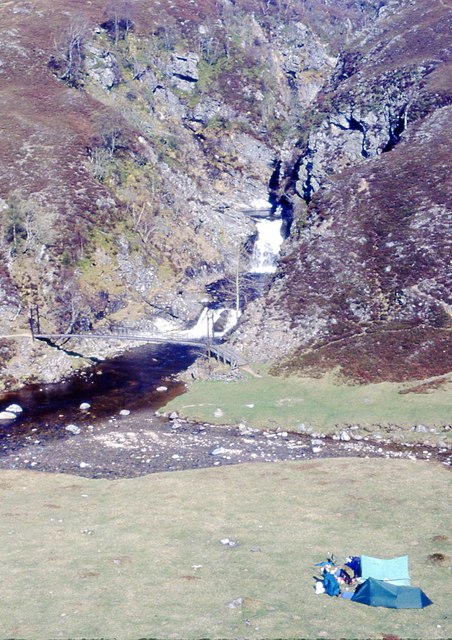
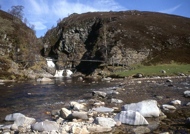
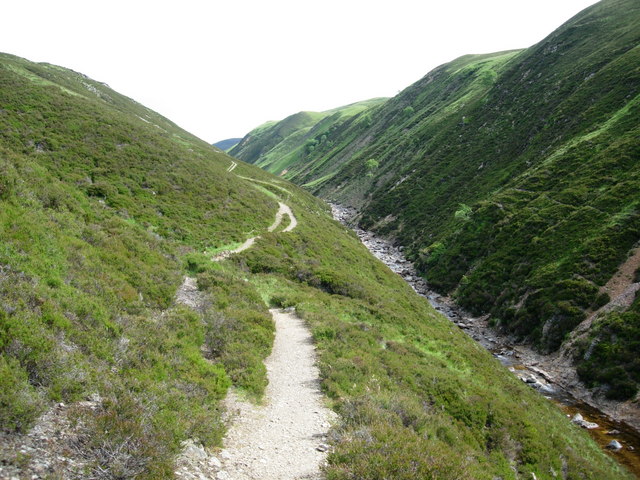
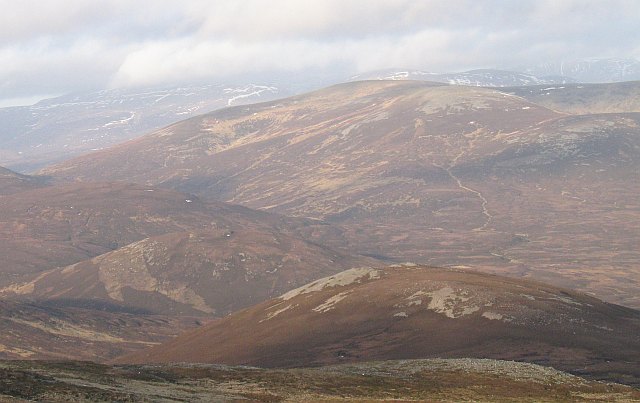
Sròn Tulaich Bhric is a prominent and distinctive landscape feature located in Perthshire, Scotland. It is a steep ridge that rises from the surrounding terrain, offering breathtaking panoramic views of the surrounding countryside.
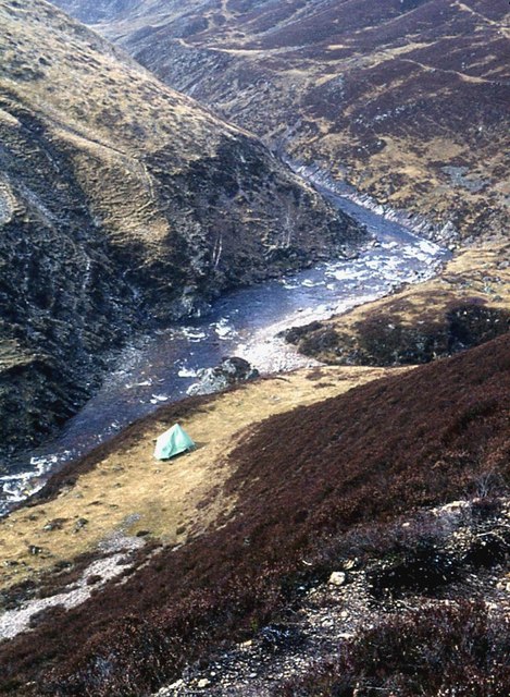
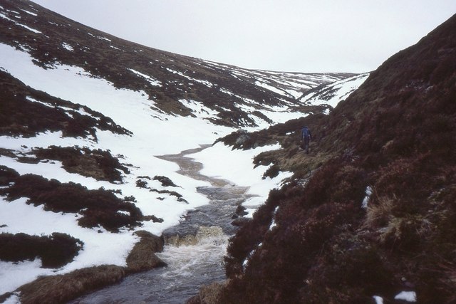
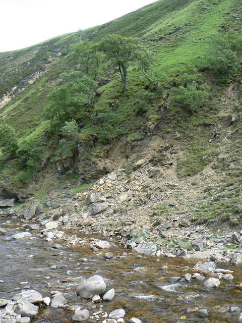
Situated in the heart of the Scottish Highlands, Sròn Tulaich Bhric is approximately 700 meters high and is part of a larger mountain range. Its rugged and craggy nature is a result of glacial erosion over thousands of years, giving it a unique and picturesque appearance.
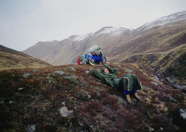
The ridge is covered in heather and grasses, which provide a vibrant splash of color during the summer months. It is also home to a variety of flora and fauna, including rare bird species and small mammals.
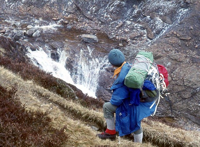
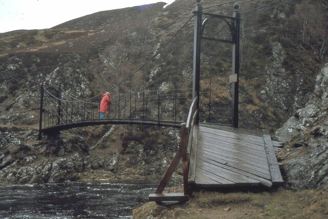
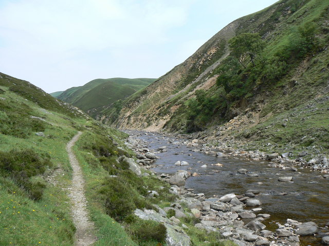
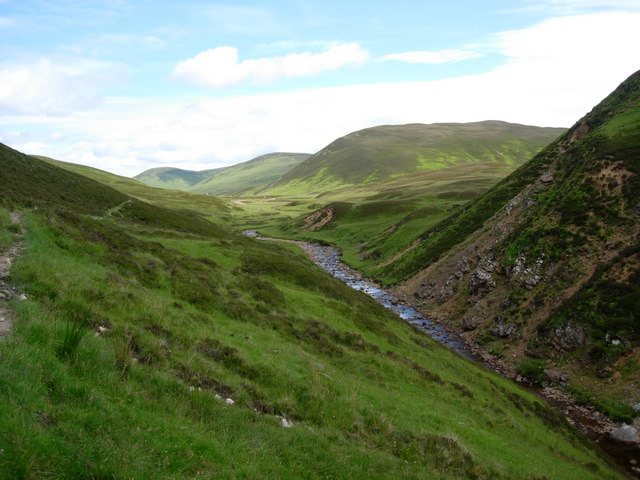
Hikers and nature enthusiasts are drawn to Sròn Tulaich Bhric due to its challenging yet rewarding trails. The ascent to the summit can be demanding, but once reached, the views are unparalleled. On a clear day, one can see the surrounding lochs, forests, and rolling hills of Perthshire, creating a truly awe-inspiring experience.
In addition to its natural beauty, Sròn Tulaich Bhric also holds historical significance. It is said to have been a meeting point for local clans in ancient times, and remnants of old settlements can still be found in the area. These historical connections add to the allure and mystique of this remarkable landscape feature.
Overall, Sròn Tulaich Bhric is a captivating and enchanting landscape feature in Perthshire, offering a combination of natural beauty, challenging trails, and historical significance. It is a must-visit destination for nature enthusiasts and those seeking an immersive experience in the Scottish Highlands.
If you have any feedback on the listing, please let us know in the comments section below.
Sròn Tulaich Bhric Images
Images are sourced within 2km of 56.900141/-3.6592306 or Grid Reference NN9979. Thanks to Geograph Open Source API. All images are credited.


Sròn Tulaich Bhric is located at Grid Ref: NN9979 (Lat: 56.900141, Lng: -3.6592306)
Unitary Authority: Perth and Kinross
Police Authority: Tayside
What 3 Words
///recital.tribes.recapture. Near Inverey, Aberdeenshire
Nearby Locations
Related Wikis
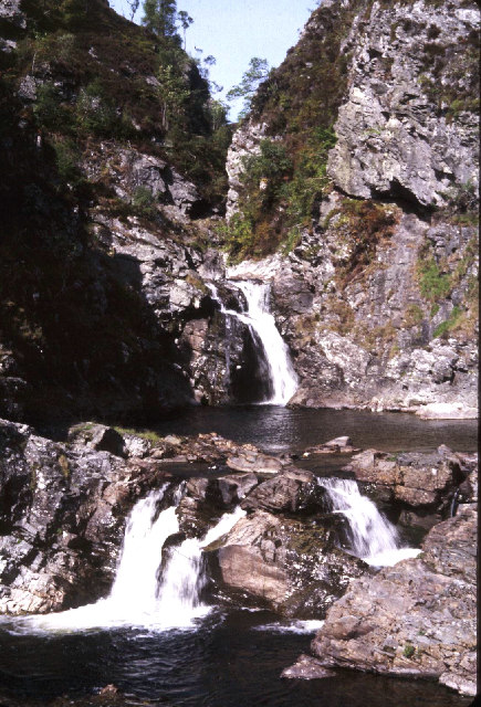
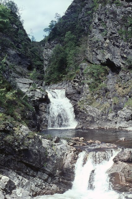
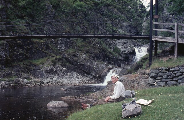
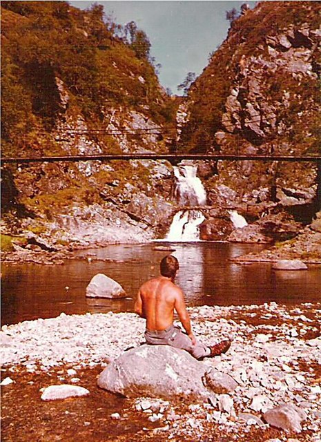
Falls of Tarf
The Falls of Tarf is a waterfall on the Tarf Water in the eastern Highlands of Scotland. Immediately downstream of the falls the Tarf is joined by a second...

Loch Tilt
Loch Tilt is a small mountain freshwater loch that sits at the end of Glen Tilt and is located in north-east Perth and Kinross, Scotland. Loch Tilt has...

Loch Loch
Loch Loch is a remote freshwater loch, located in Glen Loch in Perth and Kinross, some 9.5 miles north of Pitlochry, Scotland and is within the Forest...

Beinn Iutharn Mhòr
Beinn Iutharn Mhor (1,045 m) is a mountain in the Grampian Mountains of Scotland. It lies north of Glen Shee on the Aberdeenshire and Perthshire border...
An Sgarsoch
An Sgarsoch (1,006.5m) is a mountain in the Grampian Mountains of Scotland. It lies north of Blair Atholl in a very remote part of the Highlands, on the...

Càrn Bhac
Carn Bhac (945 m) is a mountain in the Grampian Mountains of Scotland. It lies north of the village of Inverey in Aberdeenshire, in the southern Mounth...

Glas Tulaichean
Glas Tulaichean (Scottish Gaelic: An Glas-Thulchan) is a large, complex mountain in the Mounth, Scotland. It is about 18 kilometres (11 mi) south of Braemar...

Loch nan Eun
Loch nan Eun is a remote freshwater loch, located in Gleann Taitneach in the Grampian Mountains, Perth and Kinross, some 4.5 miles west of The Cairnwell...
Nearby Amenities
Located within 500m of 56.900141,-3.6592306Have you been to Sròn Tulaich Bhric?
Leave your review of Sròn Tulaich Bhric below (or comments, questions and feedback).