Craig Head
Landscape Feature in Perthshire
Scotland
Craig Head
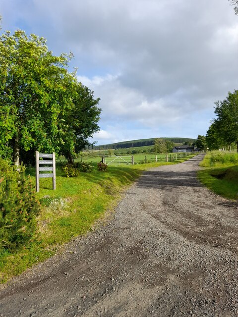
Craig Head is a prominent landscape feature located in Perthshire, Scotland. Standing at an elevation of 413 meters (1,355 feet), it is the highest point in the Ochil Hills range. The hill is situated approximately 6 kilometers (3.7 miles) northeast of the town of Dollar.
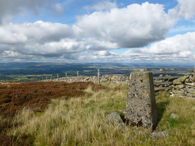
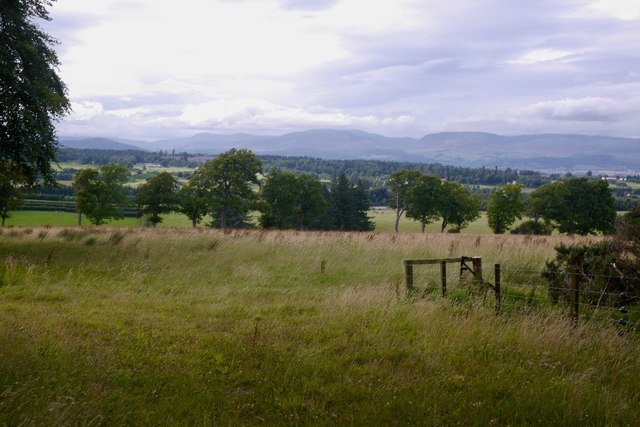
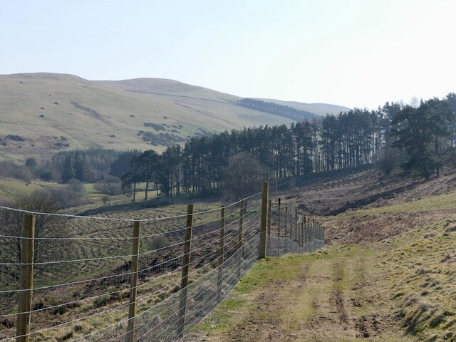
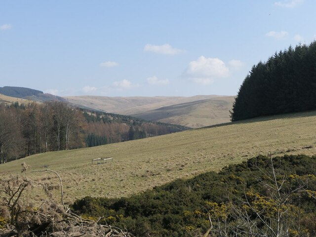
The summit of Craig Head offers breathtaking panoramic views of the surrounding area. To the west, one can see the picturesque Devon Valley stretching out towards the town of Alva, while to the east, the view extends over rolling hills and farmland. On a clear day, the skyline is dominated by the presence of the Grampian Mountains in the distance.
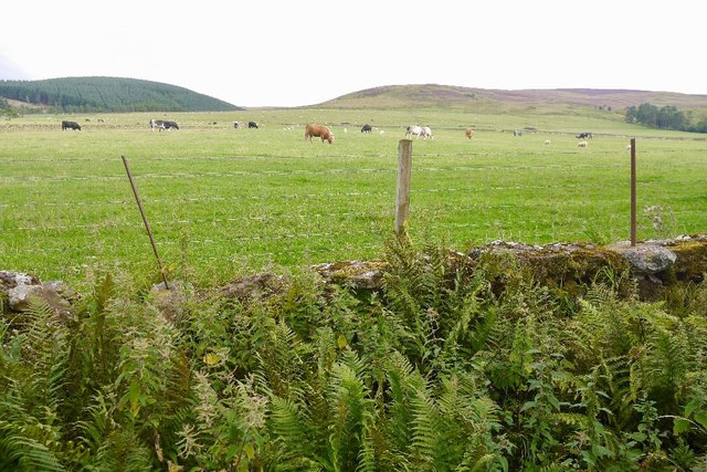
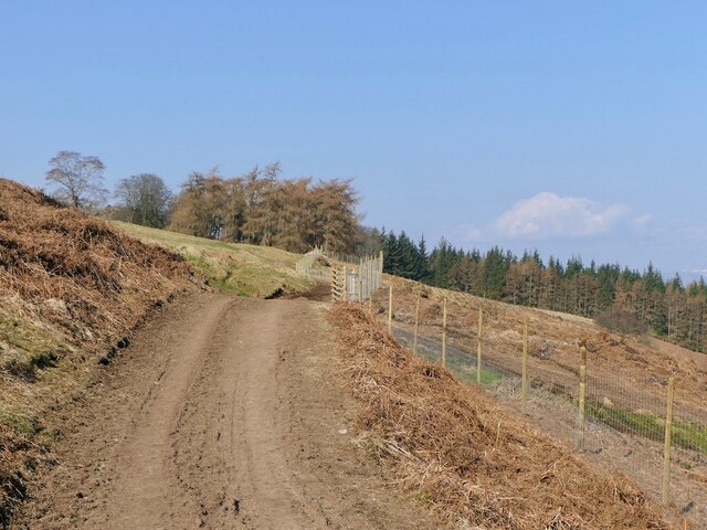
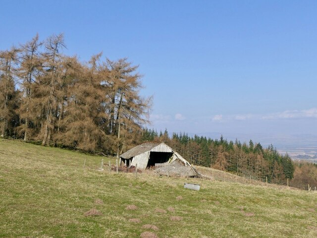
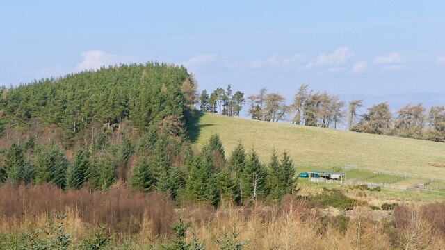
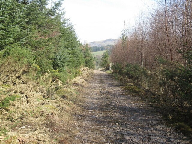
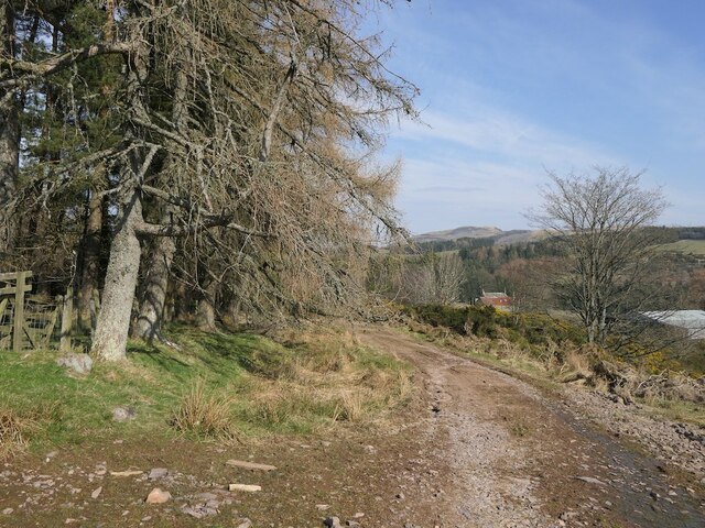
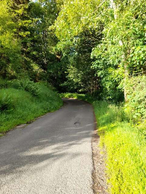
The landscape of Craig Head is characterized by undulating terrain covered in heather and scattered patches of woodland. The hill itself is formed from volcanic rocks, specifically basalt and andesite, which contribute to its distinctive appearance. The slopes are relatively steep, providing an enjoyable challenge for hikers and outdoor enthusiasts.
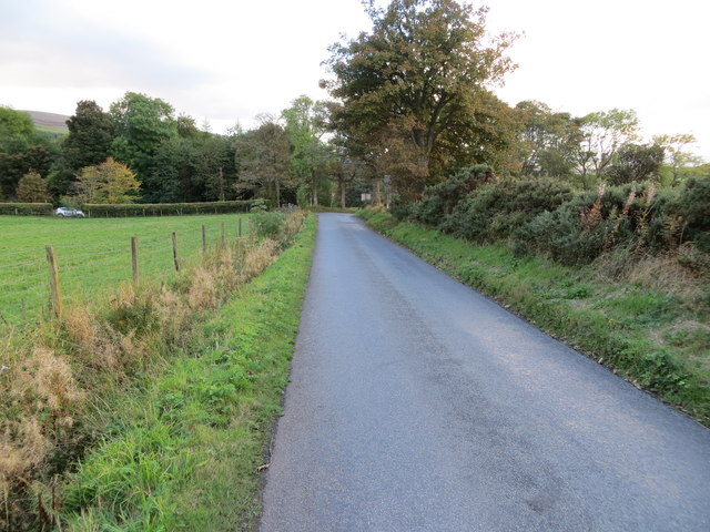
The hill is a popular destination for walkers, offering various routes to the summit. One of the most well-known paths starts from the nearby village of Tillicoultry and follows a well-marked trail. The ascent is moderately challenging but rewarding, with opportunities to observe local wildlife, including red deer and bird species such as buzzards and kestrels.
Overall, Craig Head is a notable landscape feature in Perthshire, attracting visitors with its stunning views, diverse flora and fauna, and enjoyable hiking opportunities.
If you have any feedback on the listing, please let us know in the comments section below.
Craig Head Images
Images are sourced within 2km of 56.266388/-3.6964401 or Grid Reference NN9509. Thanks to Geograph Open Source API. All images are credited.


Craig Head is located at Grid Ref: NN9509 (Lat: 56.266388, Lng: -3.6964401)
Unitary Authority: Perth and Kinross
Police Authority: Tayside
What 3 Words
///lecturing.blossom.fizzle. Near Auchterarder, Perth & Kinross
Nearby Locations
Related Wikis

Old Kincardine Castle, Auchterarder
Old Kincardine Castle was a 13th-century castle near Auchterarder in Perth and Kinross, Scotland. The castle was located on a promontory overlooking the...
Kincardine Castle, Auchterarder
Kincardine Castle is a 19th-century manor house near Auchterarder in Perth and Kinross, Scotland. The building lies 1.5 kilometres (0.93 mi) south-west...
Gleneagles railway station
Gleneagles railway station serves the town of Auchterarder in Perth and Kinross, Scotland. == History == The station was opened by the Scottish Central...

Auchterarder railway station
Auchterarder railway station served the village of Auchterarder near Gleneagles in the Scottish county of Perth and Kinross. == History == Opened by the...

Auchterarder
Auchterarder ( ; Scottish Gaelic: Uachdar Àrdair, meaning Upper Highland) is a town north of the Ochil Hills in Perth and Kinross, Scotland, and home to...

St Margaret's Hospital, Auchterarder
St Margaret's Hospital is a health facility in Western Road, Auchterarder, Scotland. It is managed by NHS Tayside. It is a Category B listed building....

Aytoun Hall
Aytoun Hall, also referred to as Auchterarder Town Hall, is a municipal building in the High Street, Auchterarder, Perth and Kinross, Scotland. The structure...
Community School of Auchterarder
The Community School of Auchterarder (TCSoA) (formerly Auchterarder High School) is a small to medium-sized school with a nursery, primary and secondary...
Have you been to Craig Head?
Leave your review of Craig Head below (or comments, questions and feedback).