Alness Point

Coastal Feature, Headland, Point in Ross-shire

Scotland

Alness Point

Safeway supermarket, Alness It is now Morrisons.
Safeway supermarket, Alness Credit: Peter Bond

Alness Point is a prominent coastal feature located in Ross-shire, Scotland. Situated on the eastern coast of the country, it is a headland that juts out into the North Sea. The point is known for its stunning natural beauty and serves as a popular destination for locals and tourists alike.

Covered in lush green vegetation, Alness Point offers breathtaking panoramic views of the surrounding area. The headland is characterized by rugged cliffs that provide a dramatic backdrop to the crashing waves below. These cliffs are home to various seabird species, making it a paradise for birdwatchers.

The point also boasts a sandy beach, which is a favorite spot for visitors to relax and enjoy the coastal scenery. The beach is ideal for sunbathing and picnicking, and during low tide, it reveals fascinating rock formations and rock pools teeming with marine life.

Alness Point is easily accessible, with a well-maintained footpath that leads visitors along the cliff edge. This path offers several vantage points where visitors can pause and take in the breathtaking views. The headland is also a popular spot for hiking enthusiasts, providing opportunities for longer walks along the coastline.

In addition to its natural beauty, Alness Point has historical significance. It is believed to have been a strategic location for early settlements and has remnants of ancient fortifications. Archaeological excavations have uncovered artifacts and evidence of human habitation dating back thousands of years.

Overall, Alness Point is a captivating coastal feature that combines stunning natural scenery, wildlife, and historical intrigue. It offers a unique and unforgettable experience for those wishing to immerse themselves in the beauty of Scotland's coastline.

If you have any feedback on the listing, please let us know in the comments section below.
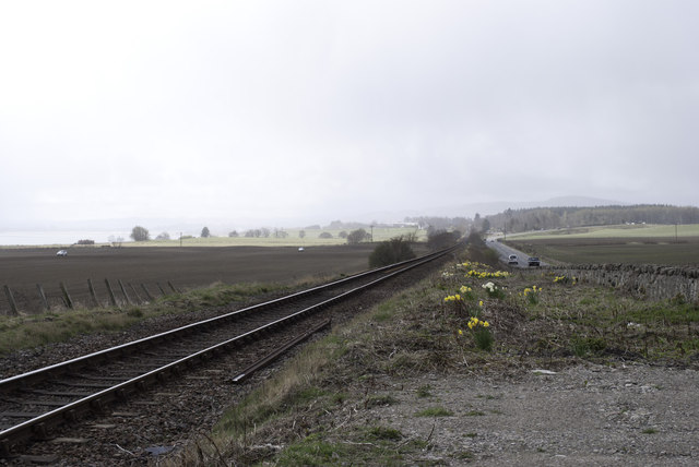
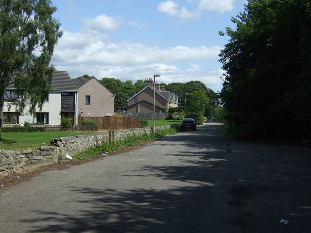
Alness Point Images

Images are sourced within 2km of 57.679627/-4.2594688 or Grid Reference NH6567. Thanks to Geograph Open Source API. All images are credited.

Safeway supermarket, Alness It is now Morrisons.
Safeway supermarket, Alness
It is now Morrisons.
Railway Viaduct A rail bridge carrying the north line over the river at Alness.
Railway Viaduct
A rail bridge carrying the north line over the river at Alness.
Variable Pitch Memorial This mounted example of a wartime variable pith propeller was rescued from the Cromarty Firth and installed as a memorial to all service personnel who served in the Alness area.
Variable Pitch Memorial
This mounted example of a wartime variable pith propeller was rescued from the Cromarty Firth and installed as a memorial to all service personnel who served in the Alness area.
Alness Academy Secondary school serving the Alness area with about 500 pupils.
Alness Academy
Secondary school serving the Alness area with about 500 pupils.
Alness Viaduct - built 1862
Far North Line before Alness
Alness station, 1994 View eastward, towards Thurso/Wick: ex-Highland Railway 'Far North Line', Inverness - Dingwall - Helmsdale - Thurso/Wick. The line and station have been kept going in spite of everything, but this looks hardly a place to hang about on a cold day.
Alness station, 1994
View eastward, towards Thurso/Wick: ex-Highland Railway 'Far North Line', Inverness - Dingwall - Helmsdale - Thurso/Wick. The line and station have been kept going in spite of everything, but this looks hardly a place to hang about on a cold day.
Morrison's Supermarket, Alness
Ruin of Alness Parish Church
Crop field near Ballachraggan Farm Cottages Off National Cycle Route 1.
Crop field near Ballachraggan Farm Cottages
Off National Cycle Route 1.
National Cycle Route 1  Heading north east towards Alness.
National Cycle Route 1
Heading north east towards Alness.
Heading north east on National Cycle Route 1  Towards Alness.
Heading north east on National Cycle Route 1
Towards Alness.
Ruin of Alness Parish Church
Graveyard, Old Parish Church, Alness
National Cycle Route 1 Crossing Culcraggie Burn.
National Cycle Route 1
Crossing Culcraggie Burn.
Alness Parish Church
National Cycle Route 1  Heading north east into Alness.
National Cycle Route 1
Heading north east into Alness.
Novar Road Heading north east on National Cycle Route 1 into Alness.
Novar Road
Heading north east on National Cycle Route 1 into Alness.
Show me another place!

Alness Point is located at Grid Ref: NH6567 (Lat: 57.679627, Lng: -4.2594688)

Unitary Authority: Highland

Police Authority: Highlands and Islands

What 3 Words

///pheasants.embers.sandals. Near Alness, Highland

Related Wikis

RAF Alness

Royal Air Force Alness, or more simply RAF Alness, is a former Royal Air Force station located 1.1 miles (1.8 km) southwest of Alness, Ross and Cromarty...

River Averon

The River Averon is a river in Easter Ross, north-east Scotland that flows into the Cromarty Firth from the north. It is also known as the River Alness...

Teaninich Castle

Teaninich Castle is situated north of the village of Evanton and just south of the town of Alness in Ross and Cromarty, Scotland. == History == It is not...

Teaninich distillery

Teaninich distillery is a scotch whisky distillery in Alness, Scotland. == History == It was founded and built in 1817 by Hugh Munro on his estate of Teaninich...

Nearby Amenities

Located within 500m of 57.679627,-4.2594688
Created By: almien_coastlines
Source: PGS
Lat/Long: 57.679608/-4.267121
Created By: almien_coastlines
Source: PGS
Lat/Long: 57.679483/-4.266879
Created By: almien_coastlines
Source: PGS
Lat/Long: 57.679357/-4.266635
Created By: almien_coastlines
Source: PGS
Lat/Long: 57.679111/-4.26567
Created By: almien_coastlines
Source: PGS
Lat/Long: 57.678985/-4.265428
Created By: almien_coastlines
Source: PGS
Lat/Long: 57.678859/-4.265183
Created By: almien_coastlines
Source: PGS
Lat/Long: 57.678613/-4.264219
Source: PGS
Lat/Long: 57.6793636/-4.2614993
Source: PGS
Lat/Long: 57.6791723/-4.2606651
Source: PGS
Lat/Long: 57.6793272/-4.2597677
Source: PGS
Lat/Long: 57.6792012/-4.2588402
Source: PGS
Lat/Long: 57.6794599/-4.258374
Source: PGS
Lat/Long: 57.6796406/-4.2579818
Source: PGS
Lat/Long: 57.6797468/-4.2568784
Source: PGS
Lat/Long: 57.6798747/-4.2569041
Source: PGS
Lat/Long: 57.6797723/-4.2567867
Source: PGS
Lat/Long: 57.680086/-4.2567899
Source: PGS
Lat/Long: 57.6801626/-4.2565796
Source: PGS
Lat/Long: 57.6806505/-4.2559375
Source: PGS
Lat/Long: 57.6809648/-4.2548619
Source: PGS
Lat/Long: 57.6812508/-4.254992
Source: PGS
Lat/Long: 57.6812939/-4.2546326
Source: PGS
Lat/Long: 57.6813742/-4.2538118
Source: PGS
Lat/Long: 57.6814545/-4.2530716
Source: PGS
Lat/Long: 57.6815835/-4.2523903
Source: PGS
Lat/Long: 57.6813197/-4.2520309
Bus Stop
Alness Point Business Park
Naptan AtcoCode: 6700713859
Naptan Bearing: NW
Naptan CommonName: Alness Point Business Park
Naptan Indicator: opp Osprey House
Naptan Landmark: Osprey House
Naptan NaptanCode: 45328976
Naptan Street: Business Park Road
Naptan Verified: no
Source: naptan_import
Lat/Long: 57.6817708/-4.2633537
Mini Roundabout
Direction: clockwise
Source: survey
Lat/Long: 57.680811/-4.2587331
Power: pole
Lat/Long: 57.6832475/-4.2621938
Man Made: mast
Lat/Long: 57.6834657/-4.2627461
Power: pole
Lat/Long: 57.6831629/-4.2581635
Power: pole
Lat/Long: 57.6838923/-4.2588497
Power: pole
Lat/Long: 57.6803851/-4.2672393
The data included in this document is from www.openstreetmap.org. The data is made available under ODbL.

Have you been to Alness Point?

Leave your review of Alness Point below (or comments, questions and feedback).