Sròn Gharbh
Landscape Feature in Argyllshire
Scotland
Sròn Gharbh

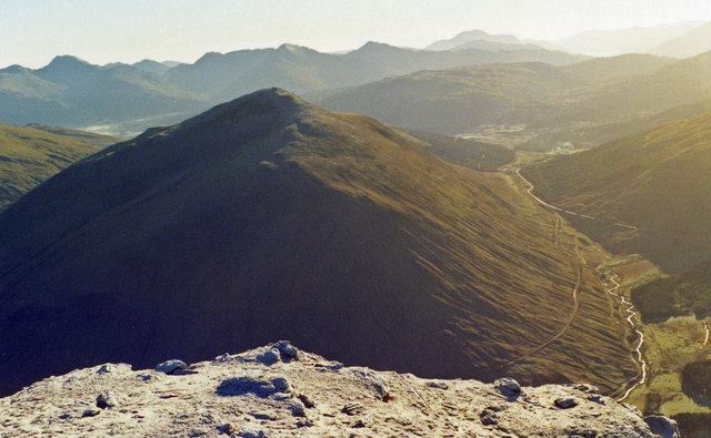
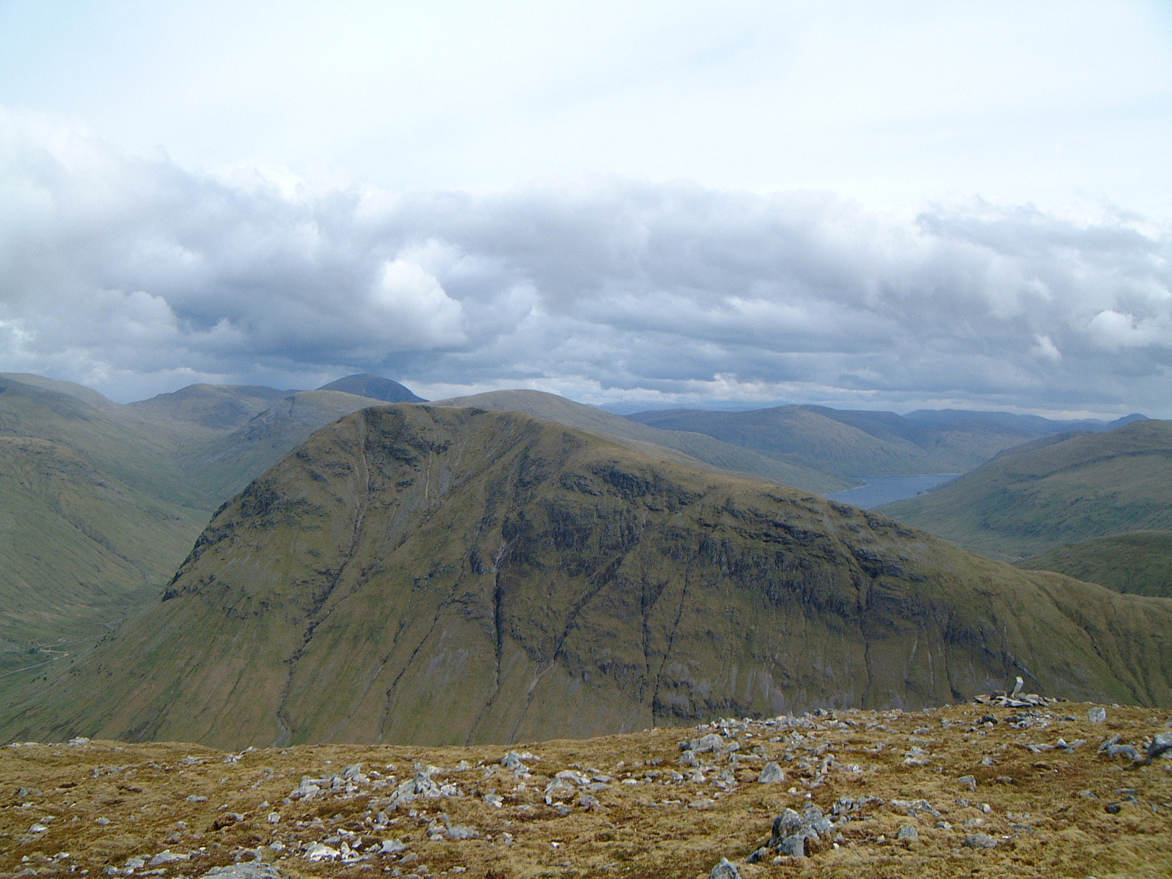
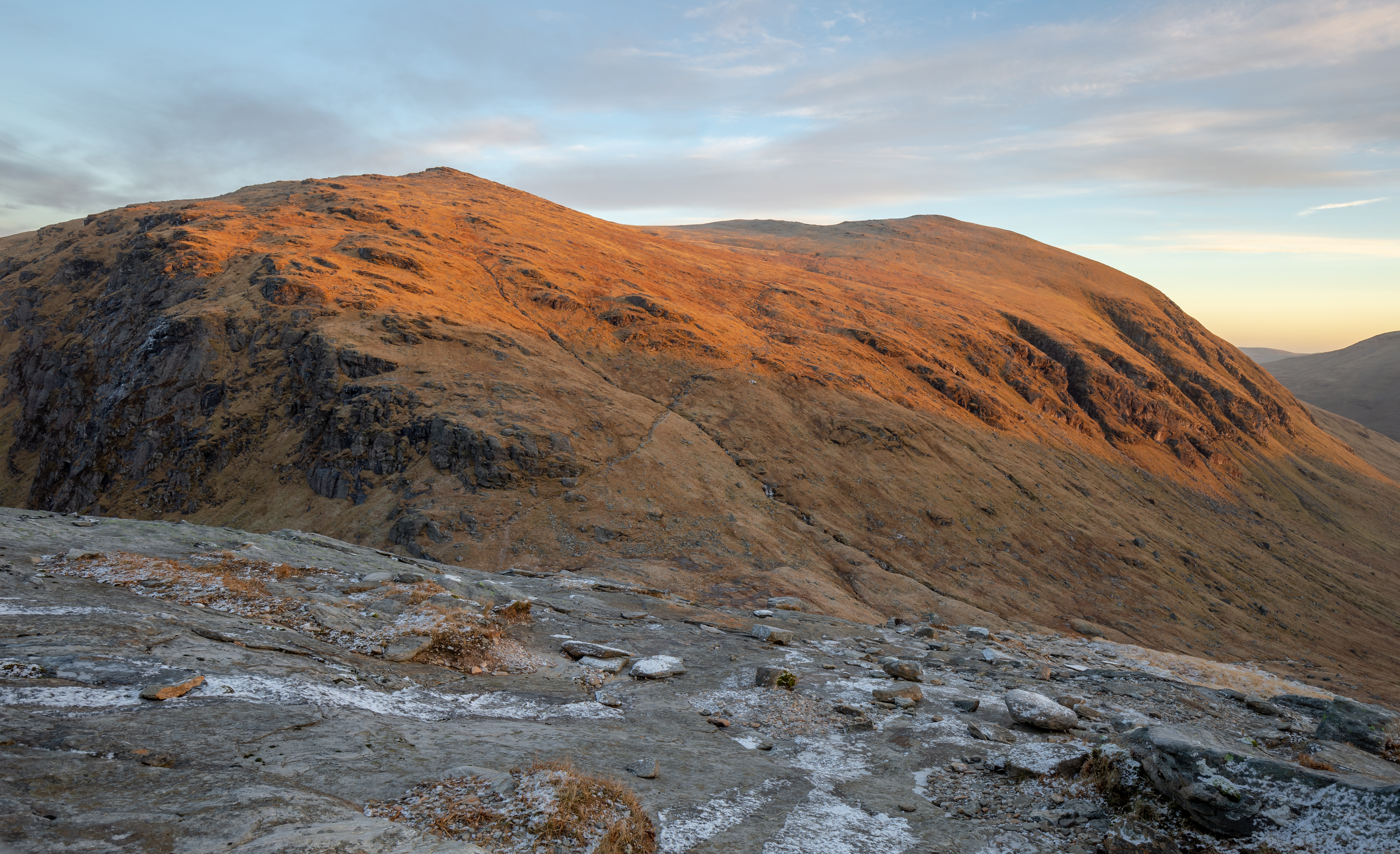
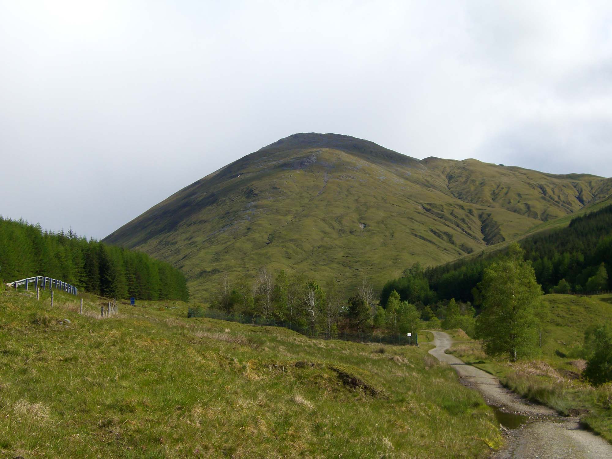
Sròn Gharbh is a prominent landscape feature located in Argyllshire, Scotland. It is a rugged and majestic mountain located on the eastern shore of Loch Long, near the village of Arrochar. The name "Sròn Gharbh" translates to "rough nose" in Gaelic, which accurately describes the craggy and wild appearance of the mountain.
Rising to a height of 874 meters (2,867 feet), Sròn Gharbh dominates the surrounding landscape with its steep slopes and rocky ridges. The mountain is part of the Arrochar Alps range, which is renowned for its dramatic scenery and challenging hikes.
The rocky terrain of Sròn Gharbh is a result of its volcanic origins. It is composed of ancient lava flows and volcanic ash, which have been sculpted over millions of years by glacial and erosional processes. The mountain's distinct shape and rugged features make it a popular destination for hikers, climbers, and nature enthusiasts.
At the summit of Sròn Gharbh, visitors are rewarded with breathtaking panoramic views of Loch Long, Loch Lomond, and the surrounding mountains. On clear days, it is even possible to see as far as the Isle of Arran and the Mull of Kintyre.
The area surrounding Sròn Gharbh is rich in biodiversity, with a variety of plant and animal species calling the mountain home. The lower slopes are covered in dense forests, while the higher elevations are characterized by heather moorland and rocky outcrops.
Overall, Sròn Gharbh is a striking and captivating landscape feature that showcases the natural beauty and geological history of Argyllshire. Its rugged charm and breathtaking views make it a must-visit destination for outdoor enthusiasts and nature lovers.
If you have any feedback on the listing, please let us know in the comments section below.
Sròn Gharbh Images
Images are sourced within 2km of 56.507512/-4.7048121 or Grid Reference NN3338. Thanks to Geograph Open Source API. All images are credited.


Sròn Gharbh is located at Grid Ref: NN3338 (Lat: 56.507512, Lng: -4.7048121)
Unitary Authority: Argyll and Bute
Police Authority: Argyll and West Dunbartonshire
What 3 Words
///encroach.tidying.encounter. Near Tyndrum, Stirling
Nearby Locations
Related Wikis

Beinn Dorain
Beinn Dorain (Scottish Gaelic: Beinn Dobhrain, 'hill of the otter'), is a mountain in the Breadalbane region of the Scottish Highlands. It overlooks Bridge...
Beinn a' Chaisteil
Beinn a' Chaisteil is a mountain in the southern Highlands of Scotland, it is located 6.25 km north of Tyndrum on the border of Perth and Kinross and Argyll...
Beinn an Dòthaidh
Beinn an Dòthaidh (from the Gaelic for 'hill of the scorching or singeing'), is a mountain in the Bridge of Orchy hills of Argyll and Bute, Scotland. It...

Bridge of Orchy railway station
Bridge of Orchy railway station is a railway station in the village of Bridge of Orchy in the west of Scotland. The station is on the West Highland Line...

Bridge of Orchy
Bridge of Orchy (Scottish Gaelic: Drochaid Urchaidh) is a village in Glen Orchy in Argyll and Bute, Scotland. It is named after the crossing over the River...
Beinn Odhar
Beinn Odhar is a Scottish mountain situated at the northern extremity of the Loch Lomond and the Trossachs National Park. It stands four km (2.5 mi) north...

Beinn Achaladair
Beinn Achaladair is a Scottish mountain situated six kilometres north east of the hamlet of Bridge of Orchy. The mountain stands on the border of the...

Beinn Mhanach
Beinn Mhanach (Scottish Gaelic for 'monks' mountain'), also anglicized Ben Vannoch, is a mountain in the Breadalbane region of the Scottish Highlands....
Nearby Amenities
Located within 500m of 56.507512,-4.7048121Have you been to Sròn Gharbh?
Leave your review of Sròn Gharbh below (or comments, questions and feedback).