Rubha Ban

Landscape Feature in Dunbartonshire

Scotland

Rubha Ban

Lay-by on the A82, Loch Lomond
Lay-by on the A82, Loch Lomond Credit: Steven Brown

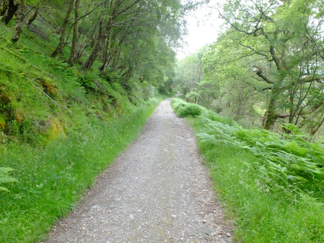
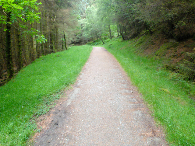
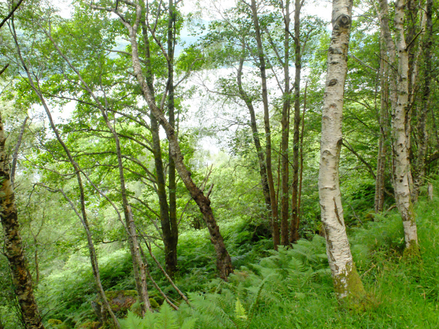
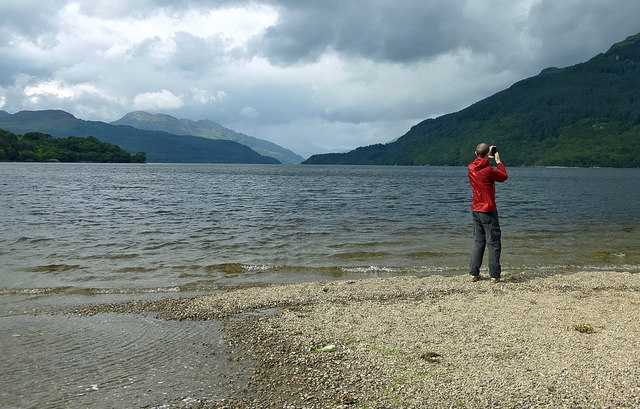
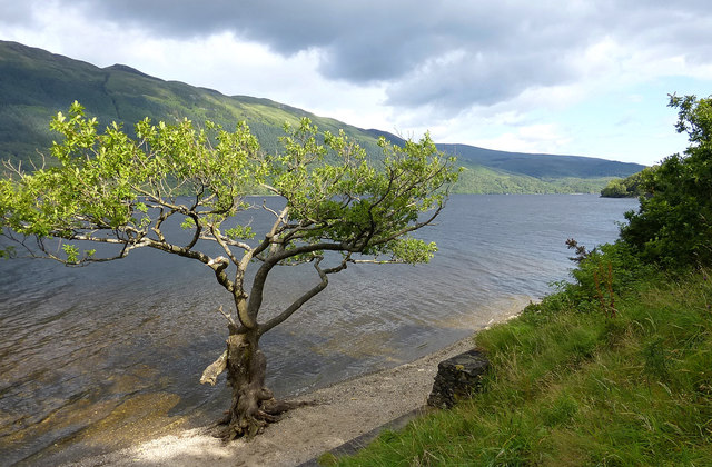
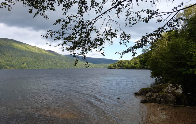
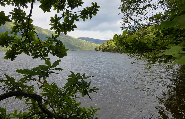
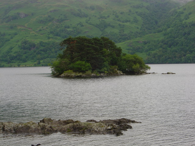
Rubha Ban, located in Dunbartonshire, Scotland, is a stunning landscape feature that boasts breathtaking views of the surrounding area. This promontory juts out into the Firth of Clyde, offering panoramic vistas of the water and the nearby islands.

The rugged cliffs of Rubha Ban are a striking contrast to the calm waters below, creating a dramatic and picturesque scene. The area is home to a variety of wildlife, including seabirds and seals, making it a popular spot for birdwatching and nature enthusiasts.

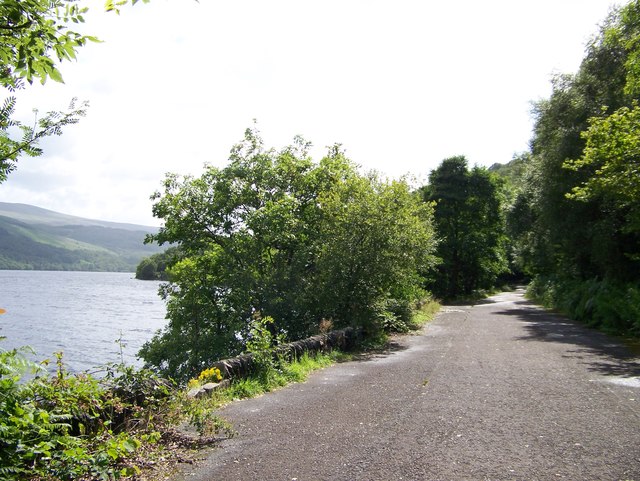
Visitors to Rubha Ban can explore the rocky coastline and enjoy leisurely walks along the shoreline. The area is also popular for fishing and boating, with opportunities to catch a variety of fish in the waters of the Firth of Clyde.

Overall, Rubha Ban is a tranquil and scenic destination that offers visitors a chance to experience the natural beauty of the Scottish coastline. Whether you're looking to relax and take in the views or explore the rugged landscape, Rubha Ban is sure to leave a lasting impression on all who visit.

If you have any feedback on the listing, please let us know in the comments section below.
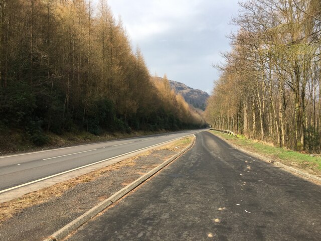
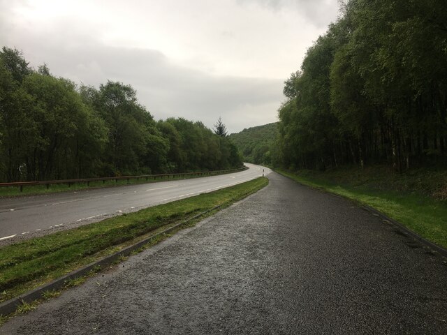
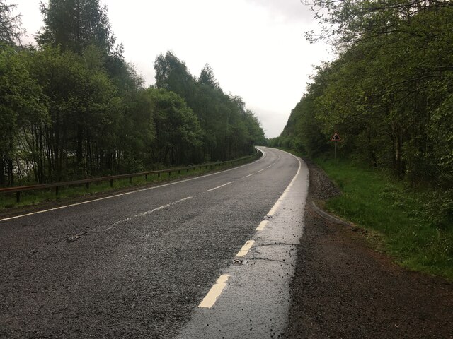
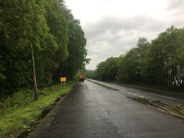
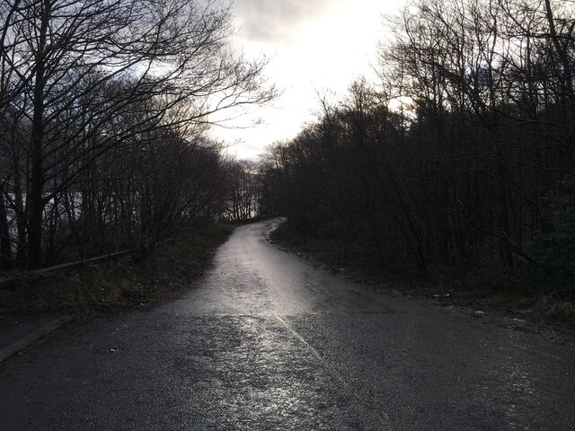
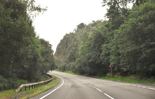
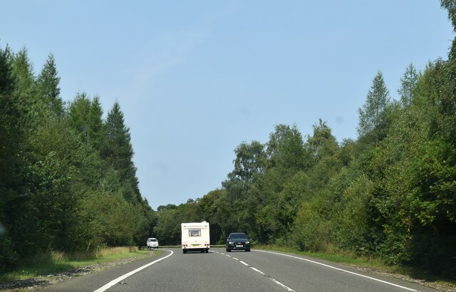
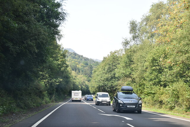
Rubha Ban Images

Images are sourced within 2km of 56.180949/-4.6887786 or Grid Reference NN3301. Thanks to Geograph Open Source API. All images are credited.

Lay-by on the A82, Loch Lomond
Lay-by on the A82 near Firkin Point
A82 near Firkin Point
Lay-by for wide loads on the A82
Old alignment of the A82 at Loch Lomond
A82, southbound The A82 is a trunk road in Scotland. It is the principal route from Lowland Scotland to the western Scottish Highlands, running from Glasgow to Inverness, going by Loch Lomond, Glen Coe, Fort William and the Great Glen. It is 167 miles long.
<span class="nowrap"><a title="https://www.sabre-roads.org.uk/wiki/index.php?title=A82" rel="nofollow ugc noopener" href="https://www.sabre-roads.org.uk/wiki/index.php?title=A82">Link</a><img style="margin-left:2px;" alt="External link" title="External link - shift click to open in new window" src="https://s1.geograph.org.uk/img/external.png" width="10" height="10"/></span>
A82, southbound
The A82 is a trunk road in Scotland. It is the principal route from Lowland Scotland to the western Scottish Highlands, running from Glasgow to Inverness, going by Loch Lomond, Glen Coe, Fort William and the Great Glen. It is 167 miles long. LinkExternal link
A82, northbound The A82 is a trunk road in Scotland. It is the principal route from Lowland Scotland to the western Scottish Highlands, running from Glasgow to Inverness, going by Loch Lomond, Glen Coe, Fort William and the Great Glen. It is 167 miles long.
<span class="nowrap"><a title="https://www.sabre-roads.org.uk/wiki/index.php?title=A82" rel="nofollow ugc noopener" href="https://www.sabre-roads.org.uk/wiki/index.php?title=A82">Link</a><img style="margin-left:2px;" alt="External link" title="External link - shift click to open in new window" src="https://s1.geograph.org.uk/img/external.png" width="10" height="10"/></span>
A82, northbound
The A82 is a trunk road in Scotland. It is the principal route from Lowland Scotland to the western Scottish Highlands, running from Glasgow to Inverness, going by Loch Lomond, Glen Coe, Fort William and the Great Glen. It is 167 miles long. LinkExternal link
A82, Hollybank The A82 is a trunk road in Scotland. It is the principal route from Lowland Scotland to the western Scottish Highlands, running from Glasgow to Inverness, going by Loch Lomond, Glen Coe, Fort William and the Great Glen. It is 167 miles long.
<span class="nowrap"><a title="https://www.sabre-roads.org.uk/wiki/index.php?title=A82" rel="nofollow ugc noopener" href="https://www.sabre-roads.org.uk/wiki/index.php?title=A82">Link</a><img style="margin-left:2px;" alt="External link" title="External link - shift click to open in new window" src="https://s1.geograph.org.uk/img/external.png" width="10" height="10"/></span>
A82, Hollybank
The A82 is a trunk road in Scotland. It is the principal route from Lowland Scotland to the western Scottish Highlands, running from Glasgow to Inverness, going by Loch Lomond, Glen Coe, Fort William and the Great Glen. It is 167 miles long. LinkExternal link
The West Highland Way north of Ptarmigan Lodge Easy walking on this section of the path.
The West Highland Way north of Ptarmigan Lodge
Easy walking on this section of the path.
An easy section of the West Highland Way Straightforward walking up the east of Loch Lomond towards Inversnaid.
An easy section of the West Highland Way
Straightforward walking up the east of Loch Lomond towards Inversnaid.
Steep birch woods above Loch Lomond Viewed from the West Highland Way.
Steep birch woods above Loch Lomond
Viewed from the West Highland Way.
Track junction A minor forest track drops to the left towards the shore of the loch. The West Highland Way continues ahead.
Track junction
A minor forest track drops to the left towards the shore of the loch. The West Highland Way continues ahead.
At Firkin Point More than one photographer was there on our mid-August visit to Loch Lomond.
At Firkin Point
More than one photographer was there on our mid-August visit to Loch Lomond.
Loch Lomond View Viewed from the old A82 which now provides a loch-side path for walkers and cyclists.
Loch Lomond View
Viewed from the old A82 which now provides a loch-side path for walkers and cyclists.
The Bonnie, Bonnie Banks This view shows how the bonnie banks inspired the famous song about Loch Lomond.
The Bonnie, Bonnie Banks
This view shows how the bonnie banks inspired the famous song about Loch Lomond.
Woodland View Peeping through the leaves of oak and birch in the ancient woodland alongside Loch Lomond.
Woodland View
Peeping through the leaves of oak and birch in the ancient woodland alongside Loch Lomond.
West Loch Lomond Cycle Path
Northbound A82, South of Tarbet
Show me another place!

Rubha Ban is located at Grid Ref: NN3301 (Lat: 56.180949, Lng: -4.6887786)

Unitary Authority: Argyll and Bute

Police Authority: Argyll and West Dunbartonshire

What 3 Words

///kinks.optimists.glares. Near Garelochhead, Argyll & Bute

Nearby Locations

Rubha Ban Rubha Dubh

Related Wikis

Beinn Bhreac (Arrochar)

Beinn Bhreac (681 m) is a mountain in Argyll and Bute, Scotland. It is part of the Luss Hills, a southern subrange of the Grampian Mountains. Rising from...

Tarbet, Argyll

Tarbet (Scottish Gaelic: An Tairbeart, in full Tairbeart Loch Laomainn 'Crossing Place of Loch Lomond') is a small village in Argyll and Bute, Scotland...

Arrochar and Tarbet railway station

Arrochar and Tarbet railway station is a railway station on the West Highland Line in Scotland. It stands between the villages of Arrochar and Tarbet....

Tarbet Isle

Tarbet Isle is an island in Loch Lomond, Scotland. It is off Tarbet on the mainland. It is 10 feet (3.0 m) at its highest point, and 80 metres (260 ft...

Nearby Amenities

Located within 500m of 56.180949,-4.6887786
Parking
Parking: lane
Lat/Long: 56.182444/-4.6915586
Power: pole
Lat/Long: 56.1840285/-4.6946229
Power: pole
Lat/Long: 56.1837834/-4.694908
Power: pole
Lat/Long: 56.183457/-4.6953067
Power: pole
Lat/Long: 56.1831332/-4.6957103
Power: pole
Lat/Long: 56.1827231/-4.6961972
Power: pole
Lat/Long: 56.1820146/-4.6953786
Power: pole
Lat/Long: 56.181228/-4.6944929
Power: pole
Lat/Long: 56.1808024/-4.6934112
Power: pole
Lat/Long: 56.1801848/-4.6918687
Power: pole
Lat/Long: 56.1797383/-4.6907429
Power: pole
Lat/Long: 56.1793836/-4.6898654
Power: pole
Lat/Long: 56.1789416/-4.6893213
Power: pole
Lat/Long: 56.1783604/-4.6886186
Power: pole
Lat/Long: 56.1773745/-4.687836
Rubha Dubh
Natural: cape
Lat/Long: 56.1782362/-4.6832184
Rubha Bàn
Natural: cape
Lat/Long: 56.1808697/-4.6885077
Hollybank
Name Gd: Croit a’ Cladaich
Place: isolated_dwelling
Lat/Long: 56.1841259/-4.6940759
The data included in this document is from www.openstreetmap.org. The data is made available under ODbL.

Have you been to Rubha Ban?

Leave your review of Rubha Ban below (or comments, questions and feedback).