Badharlick

Settlement in Cornwall

England

Badharlick

An uprooted and moved Tregearedown Triangulation Pillar This once stood on Tregearedown Beacon (SX 25071 86823) but has been uprooted and moved into the corner of the field almost 200 yards south-westward next to a new communications mast compound.
An uprooted and moved Tregearedown Triangulation Pillar Credit: Peter Wood

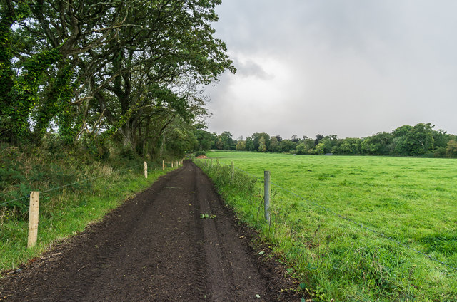
Badharlick is a small village located in the picturesque county of Cornwall, England. Situated on the southern coast of the country, it is surrounded by stunning natural beauty and offers a tranquil living environment for its residents. The village is nestled amidst rolling green hills and boasts breathtaking views of the Atlantic Ocean.

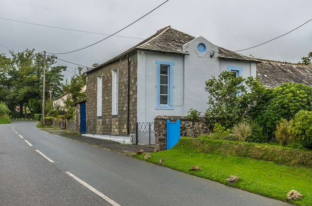
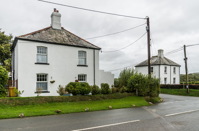
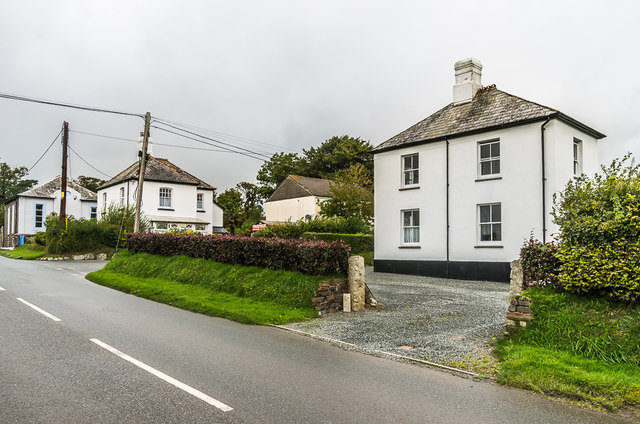
With a population of around 500, Badharlick retains a strong sense of community and charm. The village is characterized by its traditional stone cottages, which add to its quaint and timeless appeal. Residents can enjoy the peacefulness of village life while still being within easy reach of larger towns and cities, such as Truro and Plymouth, which offer a wider range of amenities and services.

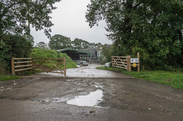
Badharlick is a haven for outdoor enthusiasts, with its proximity to the coast and countryside providing ample opportunities for activities such as hiking, cycling, and water sports. The nearby beaches are renowned for their golden sands and crystal-clear waters, attracting visitors from far and wide.

The village also has a rich history, with evidence of human settlements dating back to ancient times. The local museum showcases artifacts and exhibits that highlight Badharlick's past, offering visitors a glimpse into the area's cultural heritage.

In terms of amenities, Badharlick boasts a small but thriving local economy, with a handful of shops, cafes, and pubs catering to the needs of residents and visitors alike. The village is served by public transportation, making it accessible for those without private vehicles.

Overall, Badharlick is a hidden gem within the Cornish countryside, offering a peaceful and picturesque retreat for those seeking a slower pace of life and a close connection to nature.

If you have any feedback on the listing, please let us know in the comments section below.
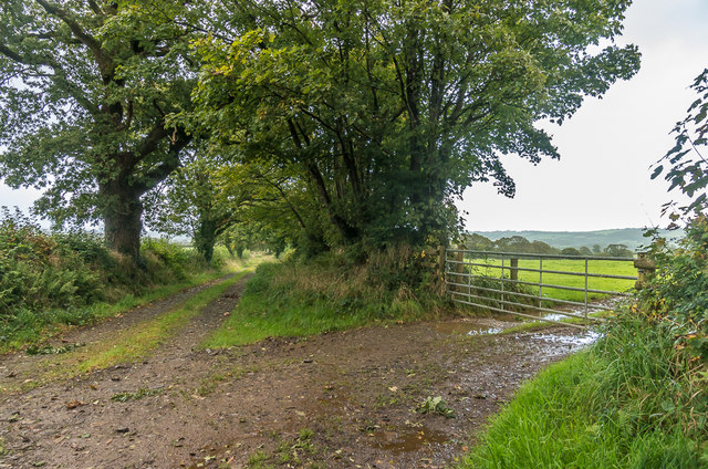
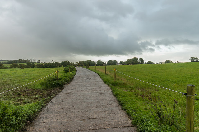
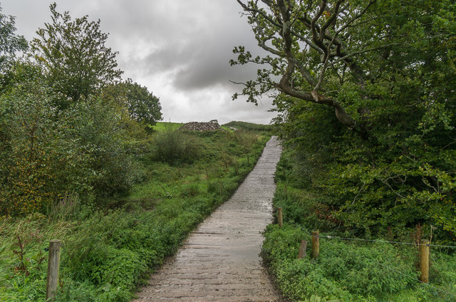
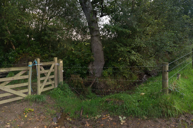
Badharlick Images

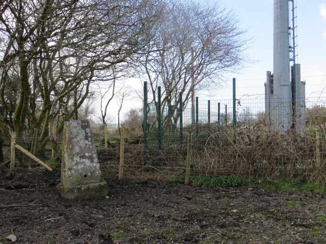
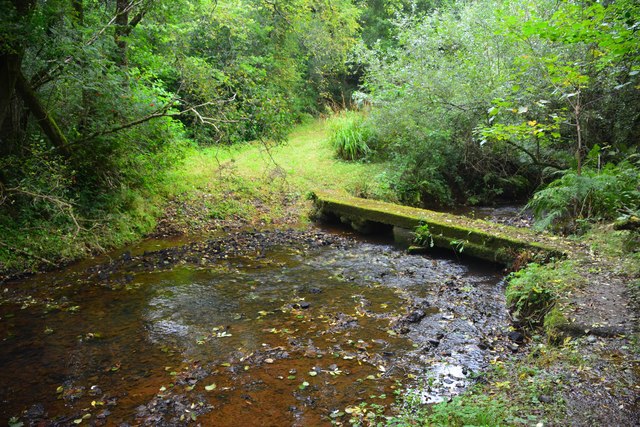
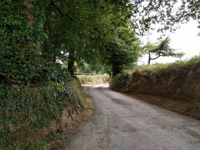
Images are sourced within 2km of 50.650313/-4.46064 or Grid Reference SX2686. Thanks to Geograph Open Source API. All images are credited.

An uprooted and moved Tregearedown Triangulation Pillar This once stood on Tregearedown Beacon (SX 25071 86823) but has been uprooted and moved into the corner of the field almost 200 yards south-westward next to a new communications mast compound.
An uprooted and moved Tregearedown Triangulation Pillar
This once stood on Tregearedown Beacon (SX 25071 86823) but has been uprooted and moved into the corner of the field almost 200 yards south-westward next to a new communications mast compound.
Badharlick Ford This ford on the Amry River is found along the byway at Badharlick.
Badharlick Ford
This ford on the Amry River is found along the byway at Badharlick.
Under Lane, heading for Launceston
Egloskerry Methodist Church Mid 19th Century former Methodist Chapel, now converted to housing.  Grade II listed - see <span class="nowrap"><a title="www.historicengland.org.uk/listing/the-list/list-entry/1160078" rel="nofollow ugc noopener" href="http://www.historicengland.org.uk/listing/the-list/list-entry/1160078">Link</a><img style="margin-left:2px;" alt="External link" title="External link - shift click to open in new window" src="https://s1.geograph.org.uk/img/external.png" width="10" height="10"/></span>.
Egloskerry Methodist Church
Mid 19th Century former Methodist Chapel, now converted to housing. Grade II listed - see LinkExternal link.
Endslea House and Trent Villa Matching pair of houses either side to the lane linking Egloskerry and Petherwin.  Old maps suggest that the lane only dates from around the turn of the 19th/20th Centuries, with the houses built around the same time.
Endslea House and Trent Villa
Matching pair of houses either side to the lane linking Egloskerry and Petherwin. Old maps suggest that the lane only dates from around the turn of the 19th/20th Centuries, with the houses built around the same time.
Trent Villa One of a matching pair of houses either side of the lane linking Egloskerry and Petherwin - the other, Endslea House, can be seen beyond.  For closer view of the pair see <a href="https://www.geograph.org.uk/photo/5595120">SX2786 : Endslea House and Trent Villa</a>.  Old maps suggest that the lane only dates from around the turn of the 19th/20th Centuries, with the houses built around the same time.  In the background can be seen Egloskerry Methodist Church - see <a href="https://www.geograph.org.uk/photo/5595116">SX2786 : Egloskerry Methodist Church</a>.
Trent Villa
One of a matching pair of houses either side of the lane linking Egloskerry and Petherwin - the other, Endslea House, can be seen beyond. For closer view of the pair see SX2786 : Endslea House and Trent Villa. Old maps suggest that the lane only dates from around the turn of the 19th/20th Centuries, with the houses built around the same time. In the background can be seen Egloskerry Methodist Church - see SX2786 : Egloskerry Methodist Church.
Hole Farm Dairy farm near Egloskerry.  The development of this part of the farm is recent, not appearing on the 1983-93 1:10,000 map, the original farm being slightly further south.
Hole Farm
Dairy farm near Egloskerry. The development of this part of the farm is recent, not appearing on the 1983-93 1:10,000 map, the original farm being slightly further south.
Track to Penheale Barton Track linking Coombekeale and Penheale Barton.
Track to Penheale Barton
Track linking Coombekeale and Penheale Barton.
Track to Penheale Barton Track linking Coombekeale and Penheale Barton, near where it meets the driveway to the latter.
Track to Penheale Barton
Track linking Coombekeale and Penheale Barton, near where it meets the driveway to the latter.
South of Penheale Barton Track junction south of Penheale Barton.
South of Penheale Barton
Track junction south of Penheale Barton.
South of Penheale Barton Footpath along a field edge south of Penheale Barton.
South of Penheale Barton
Footpath along a field edge south of Penheale Barton.
South of Penheale Barton Pastureland south of Penheale Barton.
South of Penheale Barton
Pastureland south of Penheale Barton.
South of Penheale Barton Concrete track south of Penheale Barton.
South of Penheale Barton
Concrete track south of Penheale Barton.
Towards Egloskerry Concrete track across pastureland north of Egloskerry.
Towards Egloskerry
Concrete track across pastureland north of Egloskerry.
Track over stream Concrete track crossing a small unnamed stream north of Egloskerry.
Track over stream
Concrete track crossing a small unnamed stream north of Egloskerry.
Boardwalk Boardwalk carrying a footpath across a wet field corner.
Boardwalk
Boardwalk carrying a footpath across a wet field corner.
Gate by stream A gate by a small stream north of Egloskerry.
Gate by stream
A gate by a small stream north of Egloskerry.
Towards Egloskerry A field north of Egloskerry, some buildings in which can be seen on the skyline, beyond the large dairy herd.
Towards Egloskerry
A field north of Egloskerry, some buildings in which can be seen on the skyline, beyond the large dairy herd.
Show me another place!

Badharlick is located at Grid Ref: SX2686 (Lat: 50.650313, Lng: -4.46064)

Unitary Authority: Cornwall

Police Authority: Devon and Cornwall

What 3 Words

///horns.screamed.digesting. Near Trewen, Cornwall

Related Wikis

Egloskerry

Egloskerry (Cornish: Egloskeri) is a village and civil parish in east Cornwall, England, United Kingdom. It is situated approximately five miles (8.0 km...

Trebeath

Trebeath is a hamlet in the parish of Egloskerry, Cornwall, England, United Kingdom. == References == == External links == Media related to Trebeath at...

Badharlick

Badharlick (Cornish: Bos Harlek, meaning Harlek's dwelling) is a hamlet in the parish of Egloskerry, Cornwall, England, United Kingdom, situated halfway...

Penheale Manor

Penheale Manor is a Grade I listed manor house and historic building one mile north of Egloskerry, Cornwall. == History == The manor was mentioned as...

Nearby Amenities

Located within 500m of 50.650313,-4.46064
Ford: yes
Lat/Long: 50.6473978/-4.4632302
The data included in this document is from www.openstreetmap.org. The data is made available under ODbL.

Have you been to Badharlick?

Leave your review of Badharlick below (or comments, questions and feedback).