Rubha an t-Sabhail Ghuail

Landscape Feature in Argyllshire

Scotland

Rubha an t-Sabhail Ghuail

Rivet benchmark on Old Shiel Bridge There are lots of images of Old Shiel Bridge (for example, <a href="https://www.geograph.org.uk/photo/616317">NM6769 : Old Shiel Bridge</a>). On the bridge there is an interesting plaque <a href="https://www.geograph.org.uk/photo/7232192">NM6769 : The view from Old Shiel Bridge, and a plaque</a>, <a href="https://www.geograph.org.uk/photo/7232203">NM6769 : Plaque on Old Shiel Bridge</a>, and this  benchmark <span class="nowrap"><a title="https://www.bench-marks.org.uk/bm173516" rel="nofollow ugc noopener" href="https://www.bench-marks.org.uk/bm173516">Link</a><img style="margin-left:2px;" alt="External link" title="External link - shift click to open in new window" src="https://s1.geograph.org.uk/img/external.png" width="10" height="10"/></span>.
Rivet benchmark on Old Shiel Bridge Credit: Neville Goodman

Rubha an t-Sabhail Ghuail is a prominent landscape feature located in Argyllshire, Scotland. Situated on the western coast of the region, this headland juts out into the Atlantic Ocean, offering breathtaking views of the surrounding area.

The name Rubha an t-Sabhail Ghuail translates to "headland of the coal barn" in English, reflecting the area's historical connection to the coal industry. It is believed that coal was once stored in a barn on the headland, which served as a vital resource for the local community.

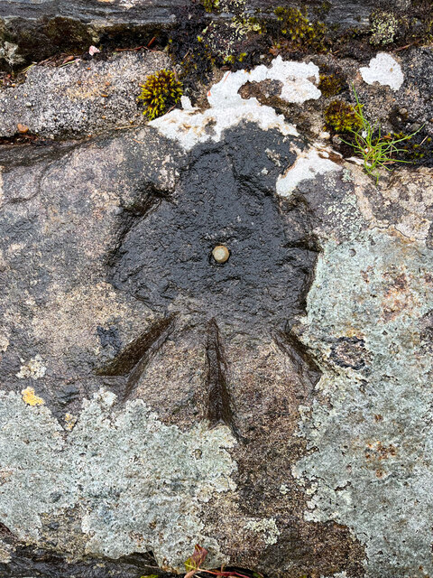
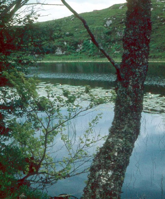
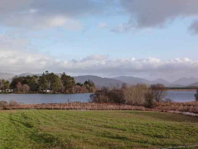
The headland itself is characterized by rugged cliffs and rocky outcrops, creating a dramatic and picturesque setting. It is a popular spot for nature enthusiasts, offering opportunities for hiking, birdwatching, and photography. The headland is also home to a variety of plant species, including heather, gorse, and wildflowers, adding to its natural beauty.

In addition to its natural attractions, Rubha an t-Sabhail Ghuail also holds historical significance. The area is dotted with ancient ruins and standing stones, providing a glimpse into the region's past. Visitors can explore these archaeological sites and learn about the area's rich cultural heritage.

Overall, Rubha an t-Sabhail Ghuail is a stunning landscape feature that combines natural beauty with historical significance. Its rugged cliffs, diverse flora, and ancient ruins make it an ideal destination for those seeking to immerse themselves in Scotland's natural and cultural heritage.

If you have any feedback on the listing, please let us know in the comments section below.

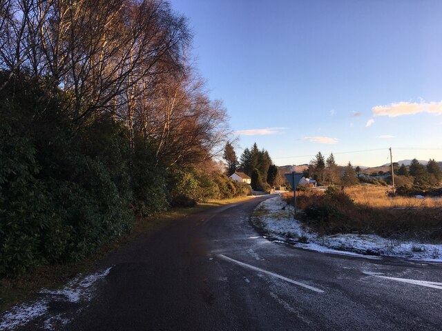
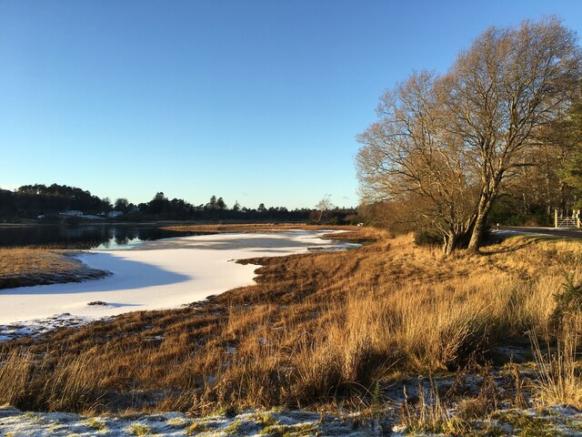
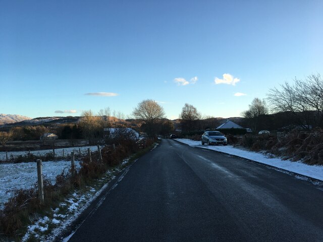
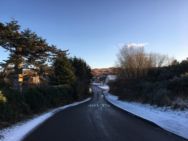
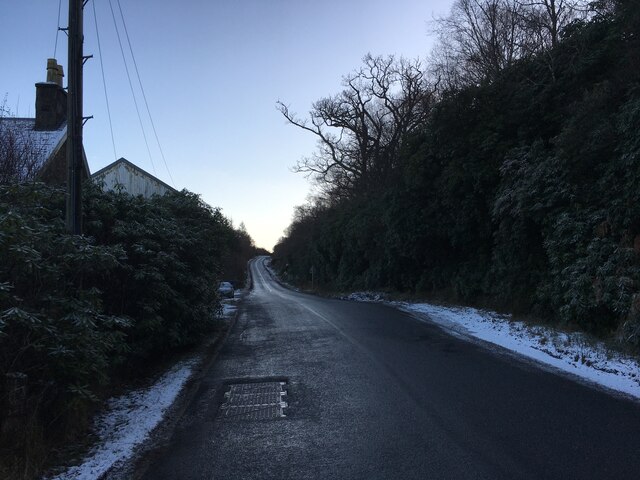
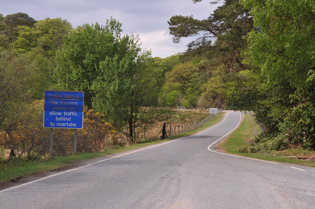
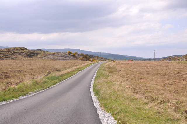
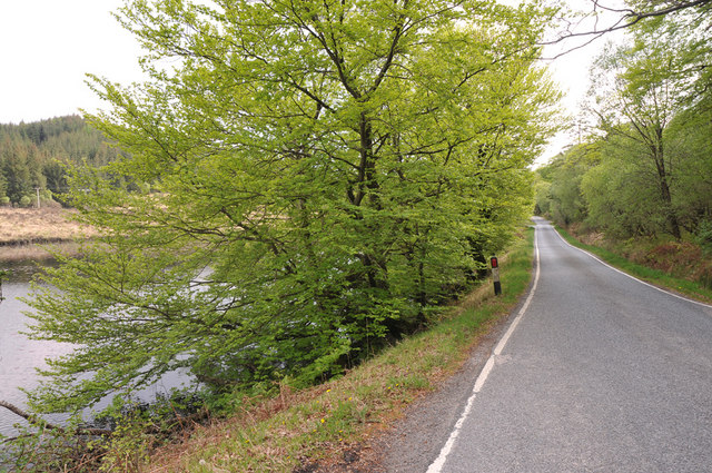
Rubha an t-Sabhail Ghuail Images

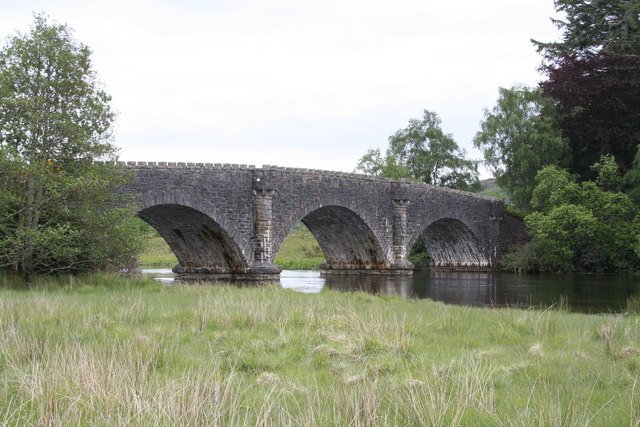
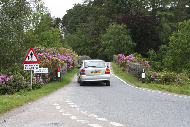
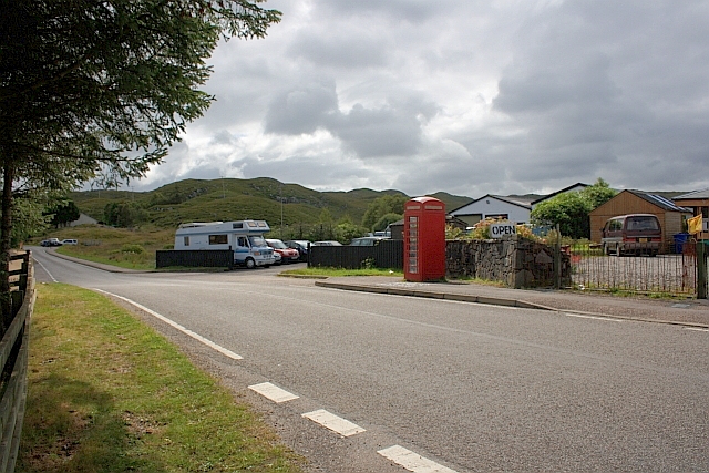
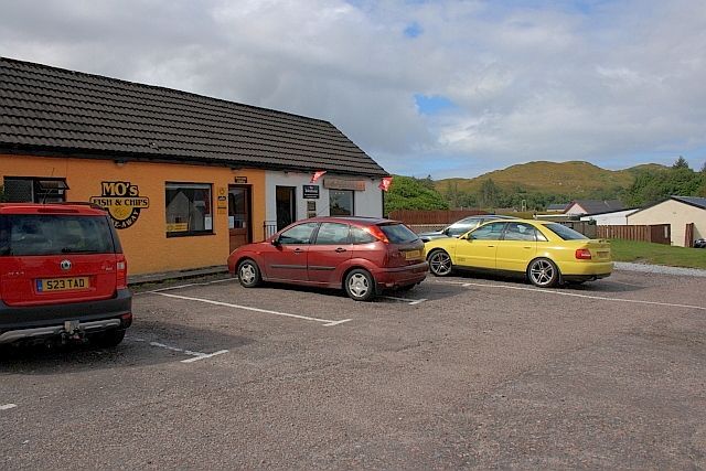
Images are sourced within 2km of 56.744168/-5.7883197 or Grid Reference NM6867. Thanks to Geograph Open Source API. All images are credited.

Rivet benchmark on Old Shiel Bridge There are lots of images of Old Shiel Bridge (for example, <a href="https://www.geograph.org.uk/photo/616317">NM6769 : Old Shiel Bridge</a>). On the bridge there is an interesting plaque <a href="https://www.geograph.org.uk/photo/7232192">NM6769 : The view from Old Shiel Bridge, and a plaque</a>, <a href="https://www.geograph.org.uk/photo/7232203">NM6769 : Plaque on Old Shiel Bridge</a>, and this  benchmark <span class="nowrap"><a title="https://www.bench-marks.org.uk/bm173516" rel="nofollow ugc noopener" href="https://www.bench-marks.org.uk/bm173516">Link</a><img style="margin-left:2px;" alt="External link" title="External link - shift click to open in new window" src="https://s1.geograph.org.uk/img/external.png" width="10" height="10"/></span>.
Rivet benchmark on Old Shiel Bridge
There are lots of images of Old Shiel Bridge (for example, NM6769 : Old Shiel Bridge). On the bridge there is an interesting plaque NM6769 : The view from Old Shiel Bridge, and a plaque, NM6769 : Plaque on Old Shiel Bridge, and this benchmark LinkExternal link.
The view from Old Shiel Bridge, and a plaque There is a plaque <a href="https://www.geograph.org.uk/photo/7232203">NM6769 : Plaque on Old Shiel Bridge</a> on the south parapet of Old Shiel Bridge <a href="https://www.geograph.org.uk/photo/616317">NM6769 : Old Shiel Bridge</a>. The photo shows the view from the bridge as well.
The view from Old Shiel Bridge, and a plaque
There is a plaque NM6769 : Plaque on Old Shiel Bridge on the south parapet of Old Shiel Bridge NM6769 : Old Shiel Bridge. The photo shows the view from the bridge as well.
Plaque on Old Shiel Bridge This is the plaque shown in <a href="https://www.geograph.org.uk/photo/7232192">NM6769 : The view from Old Shiel Bridge, and a plaque</a>.
Plaque on Old Shiel Bridge
Grounds of Our Lady of the Angels, Mingarry
Minor road towards Moss
Frozen shoreline at Moss
A861 in Acharacle
A861 in Acharacle
A861 in Acharacle
A861 in Acharacle
A861 near Acharacle
A861 near Acharacle
A861 near Blain
A861 near Blain
B8044 near Acharacle
A861 from Acharacle to Salen
Shiel bridge from a northerly viewpoint The water here today was crystal clear.
Shiel bridge from a northerly viewpoint
The water here today was crystal clear.
A Sunday motorist crosses Shiel Bridge You can tell from the flora that there is no shortage of rainfall in these climes. Everywhere the vegetation is lush and oozes health when the sun shines.
A Sunday motorist crosses Shiel Bridge
You can tell from the flora that there is no shortage of rainfall in these climes. Everywhere the vegetation is lush and oozes health when the sun shines.
Telephone Box, Acharacle
Mo's Fish and Chips
Mo's Fish and Chips
Lochain Ruighe a' Bhainne A quiet roadside lochan
Lochain Ruighe a' Bhainne
A quiet roadside lochan
Meadow at Acharacle Loch Shiel in the distance.
Meadow at Acharacle
Loch Shiel in the distance.
Show me another place!

Rubha an t-Sabhail Ghuail is located at Grid Ref: NM6867 (Lat: 56.744168, Lng: -5.7883197)

Unitary Authority: Highland

Police Authority: Highlands and Islands

What 3 Words

///grudges.microchip.picnic. Near Arisaig, Highland

Related Wikis

Garmoran

Garmoran is an area of western Scotland. It lies at the south-western edge of the present Highland Region. It includes Knoydart, Morar, Moidart, Ardnamurchan...

Ardshealach

Ardshealach (Scottish Gaelic:) is a small hamlet located close to the south west shore of Loch Shiel in Sunart, Lochaber, Highland, less than one mile...

Acharacle

Acharacle (, Scottish Gaelic: Àth Tharracail) is a village in Ardnamurchan, Lochaber, within the county of Argyll. It is in the Highland Council area of...

Kentra

Kentra is a hamlet overlooking the east coast of Kentra Bay, on the north east end of the Ardnamurchan peninsula near Acharacle, Scottish Highlands. It...

Nearby Amenities

Located within 500m of 56.744168,-5.7883197
Rubha Daraich
Natural: cape
Lat/Long: 56.7473364/-5.7864298
Bus Stop
Acharachle
Bus: yes
Naptan AtcoCode: 6700712307
Naptan Bearing: NW
Naptan CommonName: Acharachle
Naptan Indicator: o/s Post Office
Naptan Landmark: Post Office
Naptan NaptanCode: 45327639
Naptan Street: A861
Naptan Verified: no
Public Transport: platform
Source: naptan_import
Lat/Long: 56.7406694/-5.7850349
Bus Stop
Shop
Bus: yes
Naptan AtcoCode: 6700712308
Naptan Bearing: NW
Naptan CommonName: Shop
Naptan Indicator: o/s
Naptan Landmark: Shop
Naptan NaptanCode: 45327347
Naptan Street: A861
Naptan Verified: no
Public Transport: platform
Shelter: yes
Source: naptan_import;survey
Tactile Paving: no
Lat/Long: 56.7415951/-5.7889502
Bus Stop
Shop
Bus: yes
Naptan AtcoCode: 6700712308A
Naptan Bearing: SE
Naptan CommonName: Shop
Naptan Indicator: opp
Naptan Landmark: Shop
Naptan NaptanCode: 45327348
Naptan Street: A861
Naptan Verified: no
Public Transport: platform
Source: naptan_import
Lat/Long: 56.741356/-5.7875911
Acharacle
Name En: Acharacle
Name Gd: Àth Tharracail
Place: village
Population: 201
Wikidata: Q2545551
Wikipedia: en:Acharacle
Lat/Long: 56.743439/-5.795472
Telephone
Booth: K6
Covered: booth
Man Made: telephone_box
Mapillary: 168354785462485
Source: survey
Survey Date: 2021-09-12
Lat/Long: 56.7411879/-5.7876101
Post Box
Post Box Type: wall
Ref: PH36 94
Source: survey
Lat/Long: 56.7406965/-5.7852094
Recycling
Recycling Glass: yes
Recycling Glass Bottles: yes
Recycling Waste: yes
Recycling Type: container
Lat/Long: 56.7416351/-5.7893028
Power: pole
Lat/Long: 56.7400198/-5.7853049
Power: pole
Lat/Long: 56.7401036/-5.7858762
Power: pole
Lat/Long: 56.7402125/-5.7867131
Power: pole
Lat/Long: 56.740414/-5.7879978
Power: pole
Lat/Long: 56.7406037/-5.7892397
Power: pole
Lat/Long: 56.7412451/-5.7926166
Power: pole
Lat/Long: 56.7407876/-5.7905379
Power: pole
Lat/Long: 56.7409833/-5.7918361
Power: pole
Lat/Long: 56.7413334/-5.794183
Rubha an t-Sabhail Ghuail
Natural: cape
Lat/Long: 56.744277/-5.7879729
The data included in this document is from www.openstreetmap.org. The data is made available under ODbL.

Have you been to Rubha an t-Sabhail Ghuail?

Leave your review of Rubha an t-Sabhail Ghuail below (or comments, questions and feedback).