Greenhill
Settlement in Stirlingshire
Scotland
Greenhill
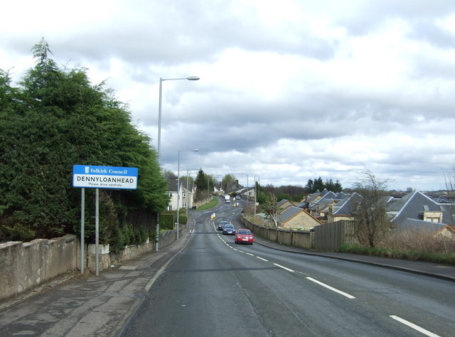
Greenhill is a small village located in the county of Stirlingshire, Scotland. Situated on the southern outskirts of the town of Falkirk, Greenhill offers a picturesque setting with its rolling hills and charming countryside.
The village is primarily residential, with a population of around 1,500 people. It is known for its close-knit community spirit and friendly atmosphere, making it an ideal place to raise a family. The residents enjoy a peaceful and tranquil lifestyle, away from the hustle and bustle of city life.
Greenhill benefits from its proximity to Falkirk, which provides residents with access to a wide range of amenities and services. The nearby Falkirk Wheel, a remarkable feat of engineering, is a popular tourist attraction and a great place for a family day out.
Nature lovers will appreciate the abundance of green spaces surrounding Greenhill, including parks, forests, and nature reserves. The area is perfect for outdoor activities such as walking, hiking, and cycling. Nearby attractions include the beautiful Callendar House and Park, offering stunning scenery and historical significance.
The village is well-connected by road, with easy access to the M9 motorway, making commuting to nearby towns and cities convenient. Additionally, the railway station in Falkirk provides excellent transport links to Glasgow, Edinburgh, and other major cities.
In summary, Greenhill offers a tranquil lifestyle in a picturesque setting, with a strong sense of community and easy access to amenities and attractions in nearby Falkirk.
If you have any feedback on the listing, please let us know in the comments section below.
Greenhill Images
Images are sourced within 2km of 55.99089/-3.8913639 or Grid Reference NS8279. Thanks to Geograph Open Source API. All images are credited.


Greenhill is located at Grid Ref: NS8279 (Lat: 55.99089, Lng: -3.8913639)
Unitary Authority: Falkirk
Police Authority: Forth Valley
What 3 Words
///stint.curls.foot. Near Greenhill, Falkirk
Nearby Locations
Related Wikis

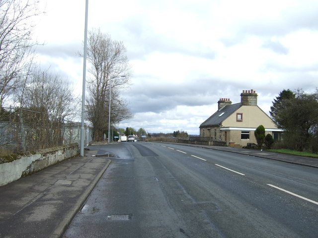
Greenhill, Falkirk
Greenhill is a village which lies in the Falkirk council area of Scotland. The village is located on the outskirts of Bonnybridge, 4.3 miles (6.9 km) west...

Greenhill Lower railway station
Greenhill Lower railway station served the village of Greenhill, Falkirk, Scotland from 1848 to 1966 on the Scottish Central Railway. == History == The...
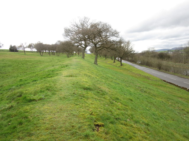
Seabegs Wood
Seabegs Wood was the site of a Roman fortlet on the Antonine Wall in Scotland.At Seabegs, the outline of Antonine's Wall, has lasted. Archaeologists from...

Bonnybridge railway station
Bonnybridge railway station was a railway station serving the village of Bonnybridge in central Scotland. The station was located on a short branch off...
Related Videos

A NERVE-WRACKING arrival to UNDERWOOD CARAVAN PARK - Certified Location
Welcome to my Channel - In this video Karen & I eventually arrive Underwood Caravan Park a C&MC Certified Location the road ...

DISTURBING THINGS CAUGHT ON CAMERA | Scotland Vanlife
Join us as we visit the little heard of village of Bonnybridge near Falkirk in Scotland. We explore what the sleepy village has to ...

(Local History) The Roman Antonine Wall at Rough Castle
The video of the Roman wall is my own, and shot at Rough Castle Fortification, Bonnybridge in January 2022! To find out more ...
Nearby Amenities
Located within 500m of 55.99089,-3.8913639Have you been to Greenhill?
Leave your review of Greenhill below (or comments, questions and feedback).