Àird Sgàparaid
Landscape Feature in Ross-shire
Scotland
Àird Sgàparaid

Àird Sgàparaid is a stunning landscape feature located in Ross-shire, Scotland. It is a prominent headland that juts out into the sea, offering breathtaking views of the surrounding area. The name Àird Sgàparaid translates to "Sparrow Point" in English, which is a fitting description for this picturesque location.
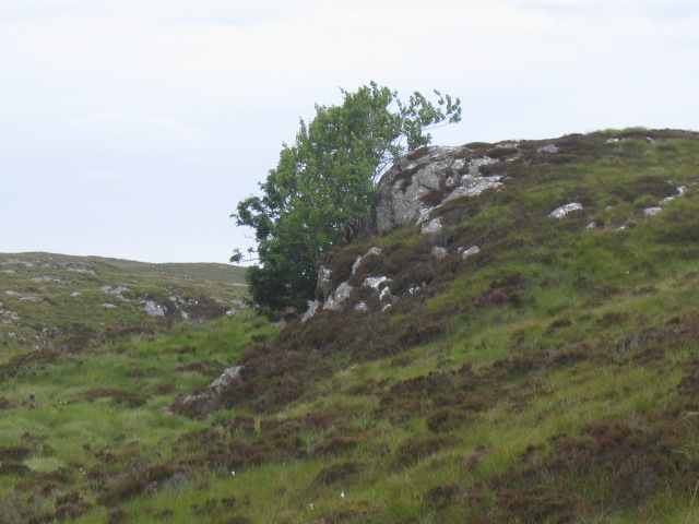
The headland is characterized by its rugged cliffs, which provide a dramatic backdrop against the crashing waves of the North Atlantic Ocean. The cliffs are composed of various types of rock, including sandstone and granite, which have been shaped by the forces of erosion over millions of years.
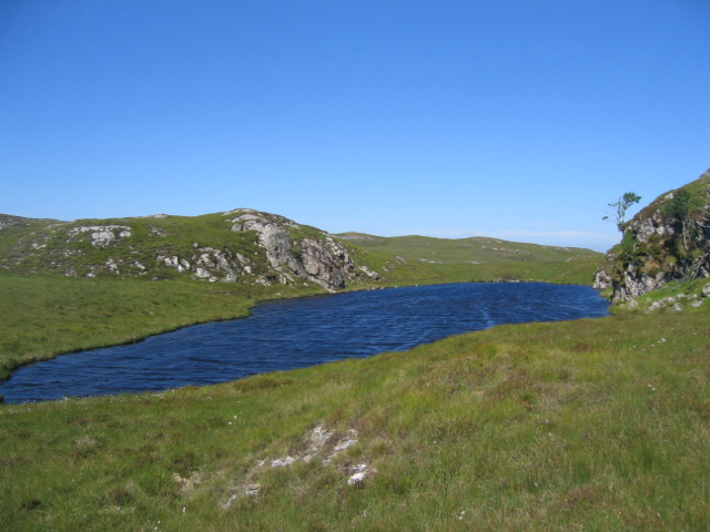
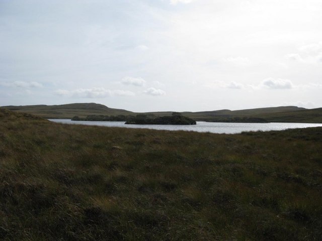
At the top of Àird Sgàparaid, visitors can enjoy panoramic views of the coastline and the expansive sea. On clear days, it is even possible to spot distant islands, such as the Isle of Skye, adding to the allure of this already enchanting landscape.
The headland is also home to a diverse range of flora and fauna. Heather, gorse, and wildflowers paint the landscape with vibrant colors during the summer months, while seabirds, such as gannets and puffins, can be seen nesting on the cliffs. The area is also known for its rich marine life, with seals and dolphins often spotted in the waters below.
Àird Sgàparaid is a popular destination for nature lovers and photographers alike. Its raw beauty and tranquility make it a perfect spot for contemplation and relaxation. Whether exploring the rugged coastline or simply soaking in the breathtaking views, a visit to Àird Sgàparaid is sure to leave a lasting impression.
If you have any feedback on the listing, please let us know in the comments section below.
Àird Sgàparaid Images
Images are sourced within 2km of 58.149897/-6.6404769 or Grid Reference NB2727. Thanks to Geograph Open Source API. All images are credited.


![Loch an Tairbeart Tairbeart [Tarbert] is a fairly common Scottish place name always involving narrows in a fresh water or sea loch.](https://s0.geograph.org.uk/geophotos/01/99/04/1990464_fab56c96.jpg)
Àird Sgàparaid is located at Grid Ref: NB2727 (Lat: 58.149897, Lng: -6.6404769)
Unitary Authority: Na h-Eileanan an Iar
Police Authority: Highlands and Islands
What 3 Words
///massive.spinners.graph. Near Leurbost, Na h-Eileanan Siar
Nearby Locations
Related Wikis

Achmore, Lewis
Achmore (Scottish Gaelic: An t-Acha Mòr; marked on some maps as Acha Mòr) is a village in the Scottish Outer Hebrides, on the Isle of Lewis. The name means...

Callanish IV
The Callanish IV stone circle (Scottish Gaelic: Ceann Hulavig) is one of many megalithic structures around the better-known (and larger) Calanais I on...
Garynahine
Garynahine (Scottish Gaelic: Gearraidh na h-aibhne) is a settlement on Lewis, in the Outer Hebrides, Scotland. Garynahine is situated at a T-junction where...
Garynahine Estate
Garynahine Estate (Scottish Gaelic: Gearraidh na h-aibhne) in Garynahine, a village on the Isle of Lewis, Outer Hebrides was owned by Sir James Matheson...
Nearby Amenities
Located within 500m of 58.149897,-6.6404769Have you been to Àird Sgàparaid?
Leave your review of Àird Sgàparaid below (or comments, questions and feedback).