Àird Oscaro
Landscape Feature in Ross-shire
Scotland
Àird Oscaro
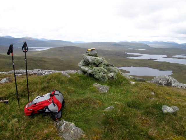
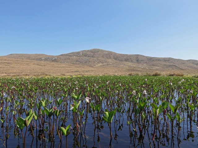
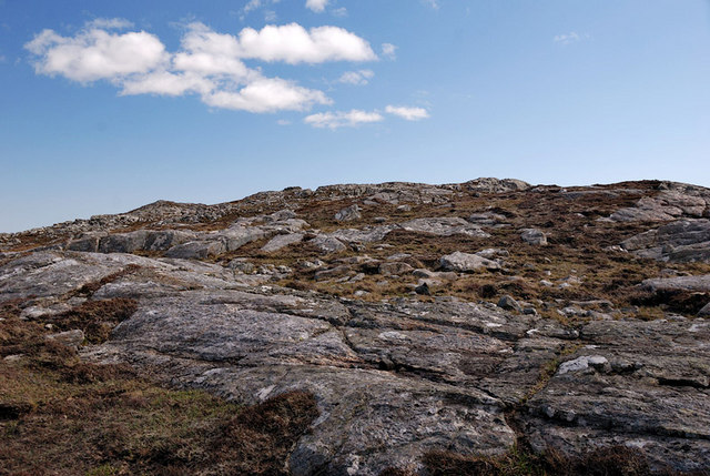
![Roineval [Ròineabhal] Via A859 and Slèiteachal Mhòr with Jonathan de Ferranti, Jim Bloomer and Mat Webster. A conspicuous and locally steep summit plus no paths at all. Summit shelter contains remains of trig point.
Name: Roineval [Ròineabhal]
Hill number: 1576
Height: 281m / 922ft
Area: 24A: Lewis and Nearby Islands
Class: Ma
Grid ref: NB 23300 21211
Summit feature: shelter on rock
Drop: 203m
Col: 78m NB230200](https://s0.geograph.org.uk/geophotos/03/26/57/3265760_48b4a00a.jpg)
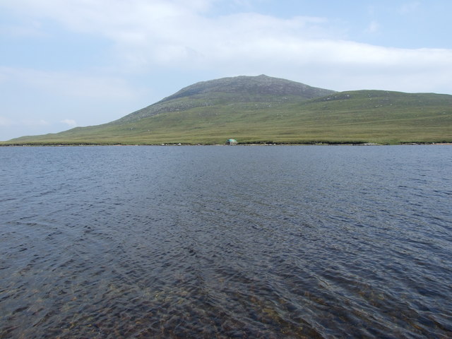
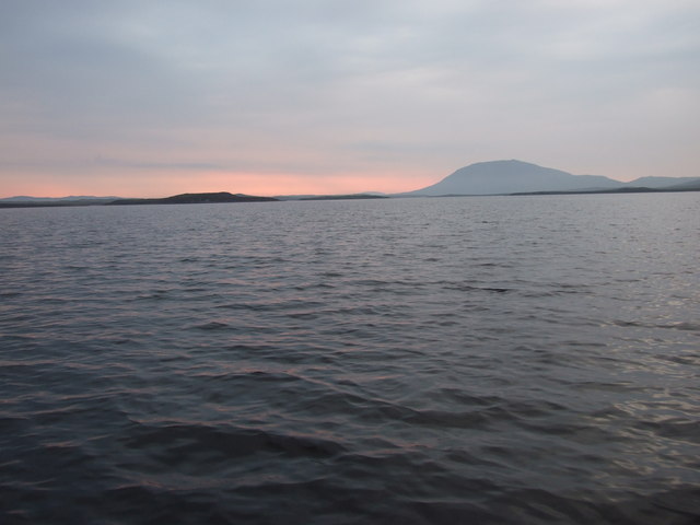
Àird Oscaro is a prominent landscape feature located in the region of Ross-shire, Scotland. Situated near the village of Aultbea, it encompasses a wide expanse of rugged terrain, offering stunning views of the surrounding countryside and the nearby Loch Ewe.
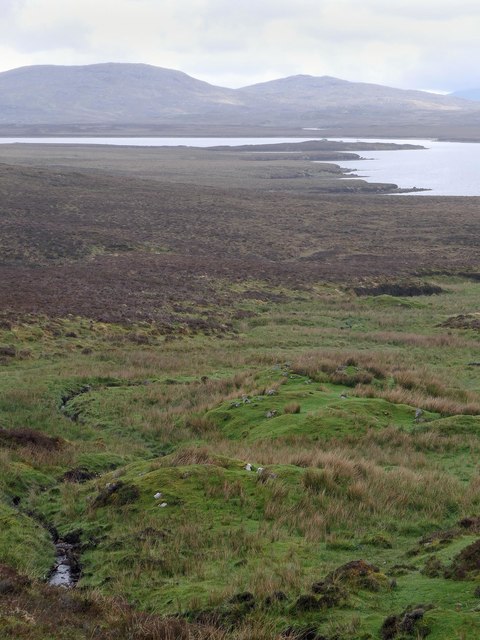
The area is characterized by its undulating hills and valleys, providing a diverse range of habitats for a variety of flora and fauna. Tall grasses, heather, and mosses cover the slopes, while scattered rocky outcrops add to the picturesque scenery. The landscape is largely untouched by human activity, with only a few scattered farmsteads dotting the area.
At the heart of Àird Oscaro lies a small, tranquil loch, fringed by reeds and surrounded by lush vegetation. The loch serves as a vital water source for the local wildlife, attracting an array of bird species, including ducks, swans, and herons. Otters can also be spotted playing in the water, adding to the area's natural charm.
The landscape offers numerous walking trails, allowing visitors to explore the rugged beauty of Àird Oscaro at their own pace. These trails take hikers through steep slopes, offering panoramic views of the surrounding mountains and lochs. The area is particularly popular among outdoor enthusiasts, who come to experience the tranquility and unspoiled nature of the Scottish Highlands.
Àird Oscaro is a captivating landscape feature that showcases the raw beauty of the Scottish Highlands. With its diverse habitats, abundant wildlife, and breathtaking views, it provides a unique and memorable experience for those who venture into its wilderness.
If you have any feedback on the listing, please let us know in the comments section below.
Àird Oscaro Images
Images are sourced within 2km of 58.085204/-6.723119 or Grid Reference NB2120. Thanks to Geograph Open Source API. All images are credited.


Àird Oscaro is located at Grid Ref: NB2120 (Lat: 58.085204, Lng: -6.723119)
Unitary Authority: Na h-Eileanan an Iar
Police Authority: Highlands and Islands
What 3 Words
///securing.fuels.engulfing. Near Leurbost, Na h-Eileanan Siar
Nearby Locations
Related Wikis

Eilean Mòr, Loch Langavat
Eilean Mòr is an island in Loch Langavat on the Isle of Lewis in the Outer Hebrides of Scotland. == Footnotes ==

Airidh a' Bhruaich
Airidh a' Bhruaich (Arivruaich - anglicised) is a scattered crofting township in the South Lochs district of the Isle of Lewis in the Outer Hebrides of...

Balallan
Balallan (Scottish Gaelic: Baile Ailein, Bail' Ailein), meaning "Allan's Town", is a crofting township on the Isle of Lewis, in the Outer Hebrides, Scotland...

Seaforth Island
Seaforth Island (Scottish Gaelic: Eilean Shìphoirt/Shìophoirt or Mulag) is an uninhabited island in the Outer Hebrides of Scotland. Unlike many other...
Have you been to Àird Oscaro?
Leave your review of Àird Oscaro below (or comments, questions and feedback).