Rubha Mòr

Landscape Feature in Ross-shire

Scotland

Rubha Mòr

Slèiteachal Mhòr Western Cairn The true summit of Slèiteachal Mhòr summit is at least 1.5m higher than west summit 520m WSW at NB 20830 18651 but we had to walk across just to make sure with Jim Bloomer, Mat Webster and Jonathan de Ferranti.
Slèiteachal Mhòr Western Cairn Credit: Rude Health

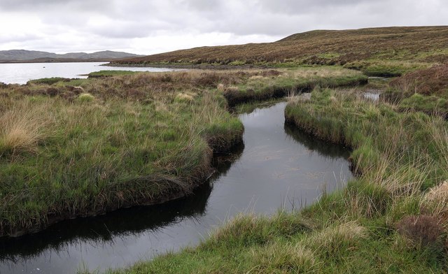
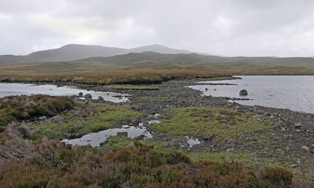
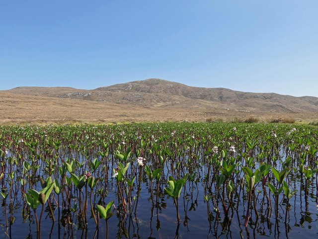
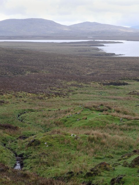
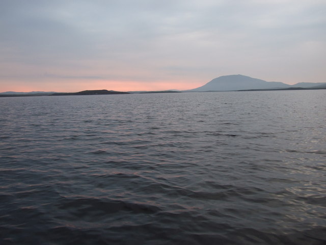
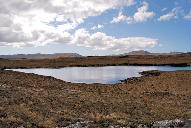
Rubha Mòr, located in Ross-shire, Scotland, is a prominent landscape feature that captures the essence of the region's natural beauty. Situated on the northwest coast of Scotland, Rubha Mòr is a peninsula that juts out into the Atlantic Ocean, offering stunning panoramic views of the surrounding area.

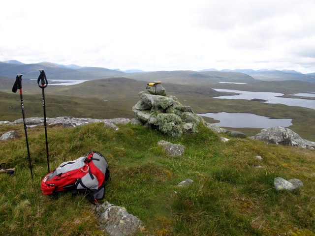
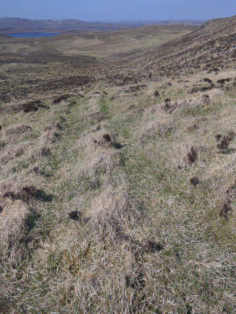
The peninsula is characterized by rugged cliffs, reaching heights of up to 200 meters, which provide a dramatic backdrop to the rugged coastline. These cliffs are home to a variety of seabirds, including guillemots, kittiwakes, and puffins, making it a popular spot for birdwatching enthusiasts.

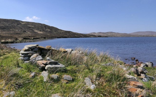
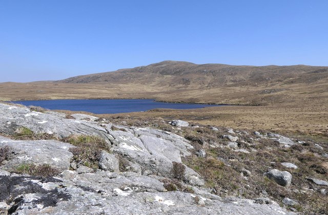
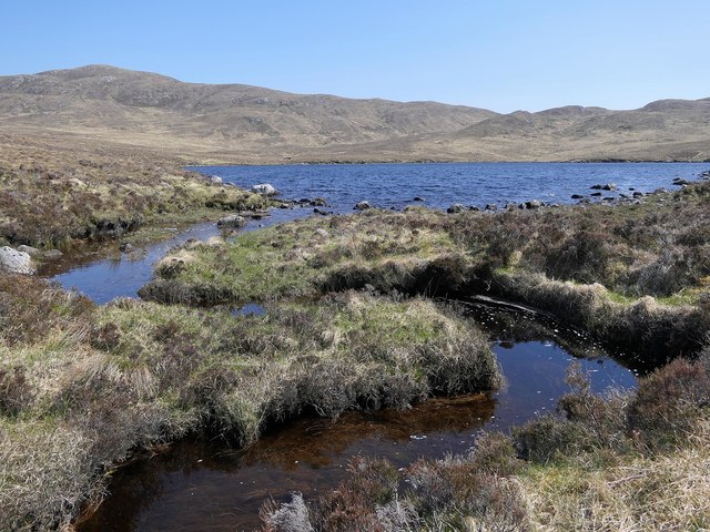
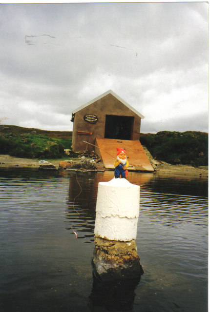
In addition to the cliffs, Rubha Mòr boasts beautiful sandy beaches and hidden coves, providing a tranquil setting for visitors to relax and enjoy the peacefulness of the area. The crystal-clear waters that lap against the shores of the peninsula are teeming with marine life, making it a popular destination for snorkeling and diving enthusiasts.

The landscape surrounding Rubha Mòr is also rich in history, with ancient ruins and standing stones scattered throughout the area. These remnants of the past add an air of mystery and intrigue to the already captivating scenery.

Access to Rubha Mòr is relatively easy, with a well-maintained footpath leading from the nearby village. However, it is important to note that the terrain can be challenging in some areas, so sturdy footwear is recommended.

Overall, Rubha Mòr is a must-visit destination for nature lovers and those seeking a tranquil escape in the heart of Scotland's stunning landscape.

If you have any feedback on the listing, please let us know in the comments section below.

Rubha Mòr Images

Images are sourced within 2km of 58.080973/-6.7562666 or Grid Reference NB1920. Thanks to Geograph Open Source API. All images are credited.

Slèiteachal Mhòr Western Cairn The true summit of Slèiteachal Mhòr summit is at least 1.5m higher than west summit 520m WSW at NB 20830 18651 but we had to walk across just to make sure with Jim Bloomer, Mat Webster and Jonathan de Ferranti.
Slèiteachal Mhòr Western Cairn
The true summit of Slèiteachal Mhòr summit is at least 1.5m higher than west summit 520m WSW at NB 20830 18651 but we had to walk across just to make sure with Jim Bloomer, Mat Webster and Jonathan de Ferranti.
Shieling hut by Loch Langabhat, Isle of Lewis Shielings were moorland summer grazings for cattle.  Shieling huts (often also referred to as shielings) were dwellings located within the shieling.  They were usually occupied from May until the “flitting” in September.  In early May the men of a village would go onto the moor to check and repair the shieling huts.  They would be joined by the women and children for one night before the men returned to the village to tend to crops or to travel away for summer work such as fishing.  The women and children would spend the summer at the shielings tending the cattle and making cheese and butter, some of which was for immediate use but most was salted to preserve it for the winter.  Peat cutting for fuel would also be done.  Evenings would be spent making music and story telling.  Visits were made between the shielings of different villages.

The shieling huts were made from materials available in the immediate vicinity.  They usually had walls made of stone or turf, turf roofs and compacted earth or clay floors.  In coastal areas and on the islands rafters would be made from locally collected driftwood.  Usually there would be a single doorway, facing away from the prevailing wind (although some shieling huts have two doors opposite each other), and often no windows.  Furniture built into shieling huts included stone or turf beds covered with heather, turf seats and cupboards and niches built into the stone wall, often one above the door.  Other furniture would be carried out onto the moor for the season.  In places where the practice of using shielings continued into the 20th century, shieling huts can be found which are constructed making more extensive use of timber than in the traditional type, along with other materials such as tin and bitumen.  There are also examples of buses and caravans used as shieling huts.

The Clearances and ongoing changes in agricultural methods meant that the shieling tradition had generally ended by the close of the nineteenth century.  In places it continued for longer and, particularly on Lewis, some shieling huts are still used today during the peat cutting season and as summer retreats.

The remains of shieling huts can be seen as

changes in vegetation: <a href="https://www.geograph.org.uk/photo/1962348">ND1340 : Shieling site by the Allt a' Cheracher</a> ;
shieling mounds where successive shieling huts have been built on the same site: <a href="https://www.geograph.org.uk/photo/5238987">NB5059 : Shieling mounds by the Abhainn Dhail, Isle of Lewis</a> ;
footings: <a href="https://www.geograph.org.uk/photo/5027765">NB5357 : Shieling footings beside the Feadan Mòr, Isle of Lewis</a> ; and
more substantial remains: <a href="https://www.geograph.org.uk/photo/5238993">NB3040 : Shieling above Gleann Leitir, Isle of Lewis</a> .

Examples of modern shielings are shown at:

<a href="https://www.geograph.org.uk/photo/5238999">NB5458 : Shieling, Airigh A' Bhealaich, Isle of Lewis</a> and <a href="https://www.geograph.org.uk/photo/5048077">NB5458 : Disused shieling, Airigh A' Bhealaich, Isle of Lewis</a> .
Shieling hut by Loch Langabhat, Isle of Lewis
Shielings were moorland summer grazings for cattle. Shieling huts (often also referred to as shielings) were dwellings located within the shieling. They were usually occupied from May until the “flitting” in September. In early May the men of a village would go onto the moor to check and repair the shieling huts. They would be joined by the women and children for one night before the men returned to the village to tend to crops or to travel away for summer work such as fishing. The women and children would spend the summer at the shielings tending the cattle and making cheese and butter, some of which was for immediate use but most was salted to preserve it for the winter. Peat cutting for fuel would also be done. Evenings would be spent making music and story telling. Visits were made between the shielings of different villages. The shieling huts were made from materials available in the immediate vicinity. They usually had walls made of stone or turf, turf roofs and compacted earth or clay floors. In coastal areas and on the islands rafters would be made from locally collected driftwood. Usually there would be a single doorway, facing away from the prevailing wind (although some shieling huts have two doors opposite each other), and often no windows. Furniture built into shieling huts included stone or turf beds covered with heather, turf seats and cupboards and niches built into the stone wall, often one above the door. Other furniture would be carried out onto the moor for the season. In places where the practice of using shielings continued into the 20th century, shieling huts can be found which are constructed making more extensive use of timber than in the traditional type, along with other materials such as tin and bitumen. There are also examples of buses and caravans used as shieling huts. The Clearances and ongoing changes in agricultural methods meant that the shieling tradition had generally ended by the close of the nineteenth century. In places it continued for longer and, particularly on Lewis, some shieling huts are still used today during the peat cutting season and as summer retreats. The remains of shieling huts can be seen as changes in vegetation: ND1340 : Shieling site by the Allt a' Cheracher ; shieling mounds where successive shieling huts have been built on the same site: NB5059 : Shieling mounds by the Abhainn Dhail, Isle of Lewis ; footings: NB5357 : Shieling footings beside the Feadan Mòr, Isle of Lewis ; and more substantial remains: NB3040 : Shieling above Gleann Leitir, Isle of Lewis . Examples of modern shielings are shown at: NB5458 : Shieling, Airigh A' Bhealaich, Isle of Lewis and NB5458 : Disused shieling, Airigh A' Bhealaich, Isle of Lewis .
Rocks above Loch Moglabhat, Isle of Lewis Looking towards Slèiteachal Mhòr.
Rocks above Loch Moglabhat, Isle of Lewis
Looking towards Slèiteachal Mhòr.
Outflow from Loch Moglabhat, Isle of Lewis The outflow is the source of the Allt Loch Moglabhat which flows into Loch Langabhat approximately 800m to the north.
Outflow from Loch Moglabhat, Isle of Lewis
The outflow is the source of the Allt Loch Moglabhat which flows into Loch Langabhat approximately 800m to the north.
Burn flowing into Loch Langabhat, Isle of Lewis Shortly to the south of this point, the Allt Gil Oscaro and the Allt Gleann Oscaro merge to form the combined burn which flows into the loch.
Burn flowing into Loch Langabhat, Isle of Lewis
Shortly to the south of this point, the Allt Gil Oscaro and the Allt Gleann Oscaro merge to form the combined burn which flows into the loch.
View across Loch Langabhat from Tairead Thioram, Isle of Lewis Although the map shows Tairead Thioram to be an island, it is possible to walk across to it when the level of the loch is low.
View across Loch Langabhat from Tairead Thioram, Isle of Lewis
Although the map shows Tairead Thioram to be an island, it is possible to walk across to it when the level of the loch is low.
Moorland pool, Orchleit, Isle of Lewis Looking towards Beinn a' Charnain.
Moorland pool, Orchleit, Isle of Lewis
Looking towards Beinn a' Charnain.
Shieling mounds, Gèarraidh Oscaro, Isle of Lewis The OS Name Book of 1848-1852 describes Gèarraidh Oscaro (then called Gearraidh Oscaroth) as, "A number of shealings (sic) which are built of peat sods and stones, some of which are in ruins.  There is a portion of arable or green pasture attached to these shealings".
Shieling mounds, Gèarraidh Oscaro, Isle of Lewis
The OS Name Book of 1848-1852 describes Gèarraidh Oscaro (then called Gearraidh Oscaroth) as, "A number of shealings (sic) which are built of peat sods and stones, some of which are in ruins. There is a portion of arable or green pasture attached to these shealings".
Moorland track below Beinn a' Charnain, Isle of Lewis Looking towards Loch Moglabhat, a small part of which lies within the grid square.
Moorland track below Beinn a' Charnain, Isle of Lewis
Looking towards Loch Moglabhat, a small part of which lies within the grid square.
Boat House Loch Langabhat The gnome, marking an underwater rock, left home in a winter storm.
Boat House Loch Langabhat
The gnome, marking an underwater rock, left home in a winter storm.
Sunrise on Loch Langavat Early morning sunrise on Loch Langavat, the prominent hill on the right is Roinabhal.
Sunrise on Loch Langavat
Early morning sunrise on Loch Langavat, the prominent hill on the right is Roinabhal.
Loch nan Eilean This is the SW corner of Loch nan Eilean, which is about 1km wide and long.
Loch nan Eilean
This is the SW corner of Loch nan Eilean, which is about 1km wide and long.
Show me another place!

Rubha Mòr is located at Grid Ref: NB1920 (Lat: 58.080973, Lng: -6.7562666)

Unitary Authority: Na h-Eileanan an Iar

Police Authority: Highlands and Islands

What 3 Words

///cosmetic.stated.activates. Near Leurbost, Na h-Eileanan Siar

Related Wikis

Eilean Mòr, Loch Langavat

Eilean Mòr is an island in Loch Langavat on the Isle of Lewis in the Outer Hebrides of Scotland. == Footnotes ==

Airidh a' Bhruaich

Airidh a' Bhruaich (Arivruaich - anglicised) is a scattered crofting township in the South Lochs district of the Isle of Lewis in the Outer Hebrides of...

Balallan

Balallan (Scottish Gaelic: Baile Ailein, Bail' Ailein), meaning "Allan's Town", is a crofting township on the Isle of Lewis, in the Outer Hebrides, Scotland...

Gisla Hydro-Electric Scheme

Gisla Hydro-Electric Scheme was a small scheme promoted by the North of Scotland Hydro-Electric Board on the Isle of Lewis, Outer Hebrides, Scotland. It...

Nearby Amenities

Located within 500m of 58.080973,-6.7562666
Rubha nam Fiadh
Natural: cape
Lat/Long: 58.0791127/-6.762028
Rubha Mòr
Natural: cape
Lat/Long: 58.0812849/-6.7572307
The data included in this document is from www.openstreetmap.org. The data is made available under ODbL.

Have you been to Rubha Mòr?

Leave your review of Rubha Mòr below (or comments, questions and feedback).