Àird Choinneach
Landscape Feature in Ross-shire
Scotland
Àird Choinneach
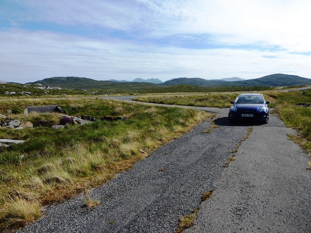
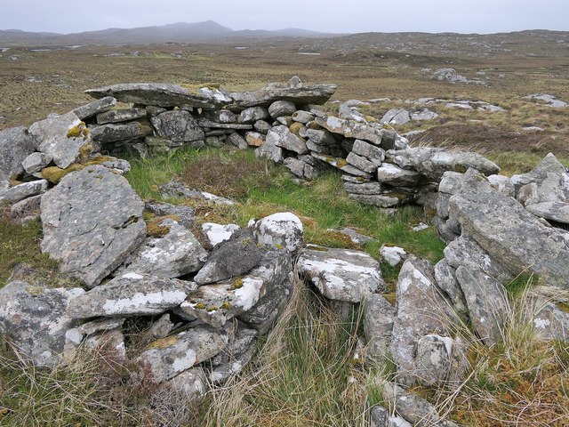
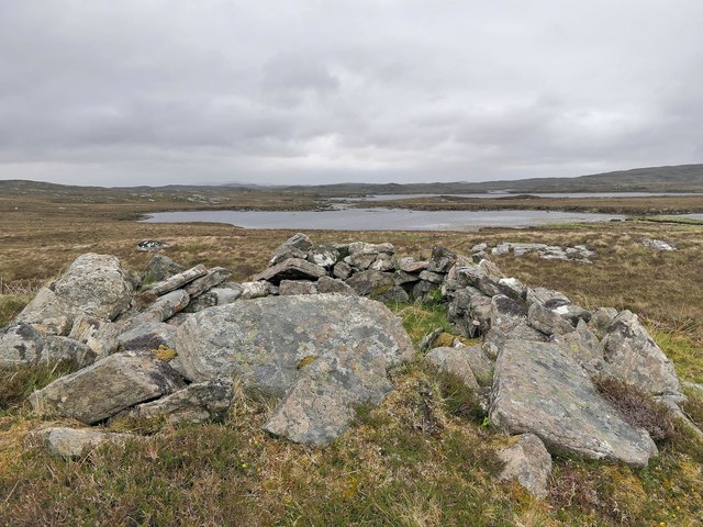
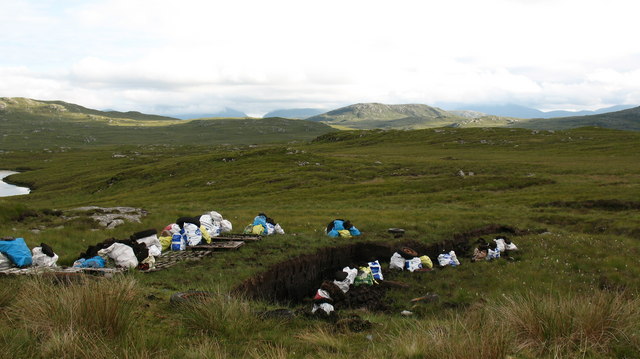
![Ben Mohal [Beinn Mothal] Cairn Second HuMP of four today with Michael Earnshaw, Jim Bloomer and Martin Richardson in mixed weather. This is the cairn at the alternative summit.
Name: Ben Mohal [Beinn Mothal]
Hill number: 4944
Height: 207m / 679ft
Area: 24A: Lewis and Nearby Islands
Class: Hu,2
Grid ref: NB176240 (est)
Drop: 129m
Col: 78m NB168236](https://s1.geograph.org.uk/geophotos/03/69/37/3693745_84757201.jpg)
Àird Choinneach is a prominent landscape feature located in the county of Ross-shire, Scotland. This geographical formation is characterized by its striking cliffs and rugged coastline, making it a popular destination for nature enthusiasts and hikers.
Situated on the western coast of Ross-shire, Àird Choinneach offers breathtaking views of the North Atlantic Ocean. The imposing cliffs, towering at an impressive height, create a dramatic backdrop against the crashing waves below. These cliffs are formed by layers of sedimentary rock, showcasing the geological history of the area.
The surrounding landscape is predominantly composed of heathland and moorland, with patches of grass and scattered vegetation. This diverse habitat provides a home to a variety of plant and animal species, including seabirds such as puffins, guillemots, and razorbills. Visitors can often spot these birds nesting and diving into the sea from the cliff edges.
The area is also known for its historical significance, with traces of human activity dating back to ancient times. Archaeological remains, including Iron Age settlements and burial sites, have been discovered in the vicinity of Àird Choinneach, offering insights into the lives of past inhabitants.
Access to Àird Choinneach is primarily through designated footpaths and trails, allowing visitors to explore the area while preserving its natural beauty. The site is well-maintained, with informative signposts and viewing platforms strategically placed to enhance the experience.
Overall, Àird Choinneach is a captivating landscape feature that showcases the raw beauty of Scotland's western coast. Its cliffs, wildlife, and rich history make it a must-visit destination for those seeking a unique and awe-inspiring natural experience.
If you have any feedback on the listing, please let us know in the comments section below.
Àird Choinneach Images
Images are sourced within 2km of 58.131135/-6.7866379 or Grid Reference NB1825. Thanks to Geograph Open Source API. All images are credited.
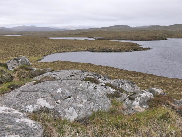
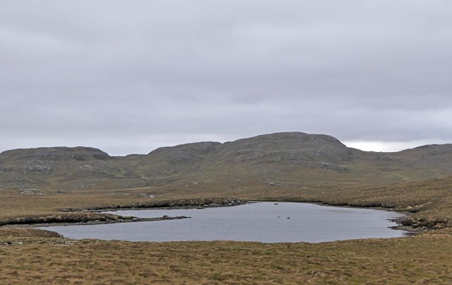
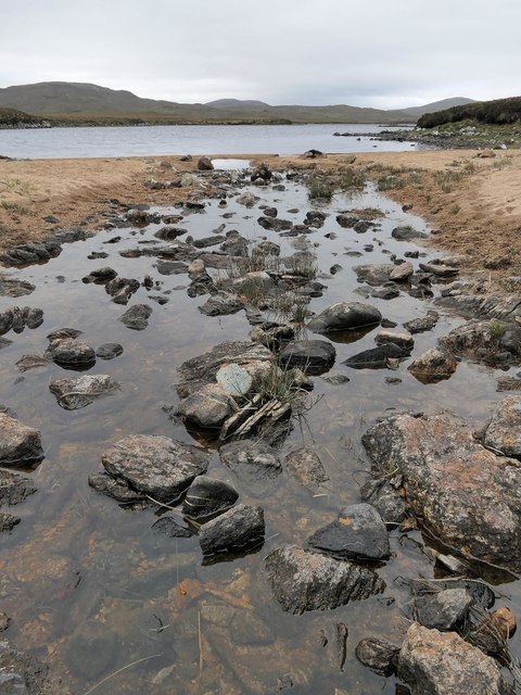
![Ben Mohal [Beinn Mothal] Looking from the alternative top cairn back towards the 207 metre spot height.
Name: Ben Mohal [Beinn Mothal]
Hill number: 4944
Height: 207m / 679ft
Area: 24A: Lewis and Nearby Islands
Class: Hu,2
Grid ref: NB176240 (est)
Drop: 129m
Col: 78m NB168236](https://s3.geograph.org.uk/geophotos/03/69/37/3693751_2745a451.jpg)
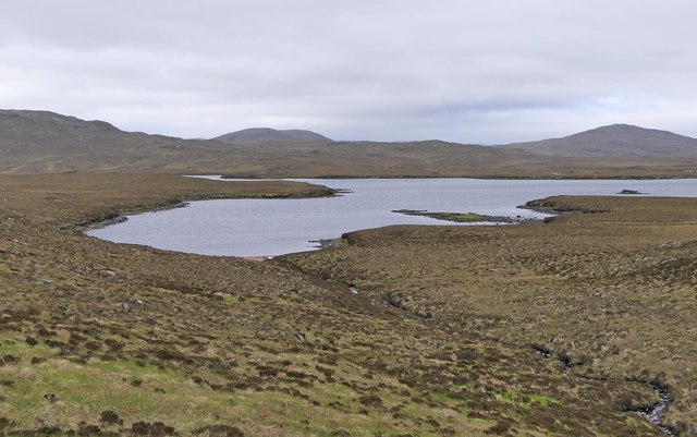
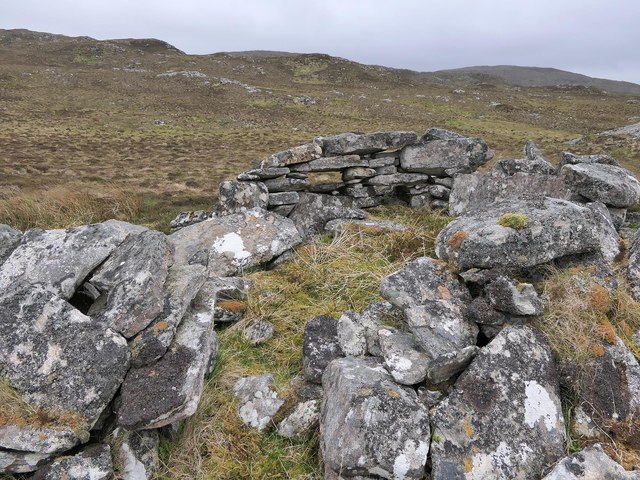
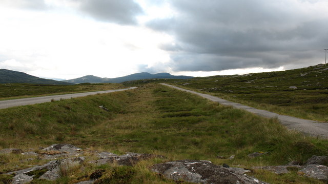
![Ben Mohal [Beinn Mothal] Summit Second HuMP of four today with Michael Earnshaw, Jim Bloomer and Martin Richardson in mixed weather. View of the 207 metre spot height towards the cairn.
Name: Ben Mohal [Beinn Mothal]
Hill number: 4944
Height: 207m / 679ft
Area: 24A: Lewis and Nearby Islands
Class: Hu,2
Grid ref: NB176240 (est)
Drop: 129m
Col: 78m NB168236](https://s1.geograph.org.uk/geophotos/03/69/37/3693757_f0c1ec6a.jpg)
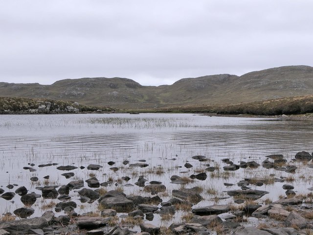

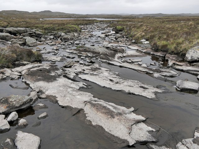
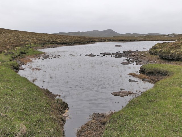
![A very odd lochan. There&#039;s nothing particularly unusual about this tiny, unnamed lochan close to the B8011, but maybe the cartographer made a mistake? The map shows a black outline around the loch, indicating [usually] tidal water, but it would seem unusual for the tide to reach 75 metres above its normal level.](https://s0.geograph.org.uk/photos/50/98/509888_3e14e61f.jpg)
Àird Choinneach is located at Grid Ref: NB1825 (Lat: 58.131135, Lng: -6.7866379)
Unitary Authority: Na h-Eileanan an Iar
Police Authority: Highlands and Islands
What 3 Words
///sonic.timeless.bounding. Near Carloway, Na h-Eileanan Siar
Nearby Locations
Related Wikis

Eilean Mòr, Loch Langavat
Eilean Mòr is an island in Loch Langavat on the Isle of Lewis in the Outer Hebrides of Scotland. == Footnotes ==

Gisla Hydro-Electric Scheme
Gisla Hydro-Electric Scheme was a small scheme promoted by the North of Scotland Hydro-Electric Board on the Isle of Lewis, Outer Hebrides, Scotland. It...

Callanish IV
The Callanish IV stone circle (Scottish Gaelic: Ceann Hulavig) is one of many megalithic structures around the better-known (and larger) Calanais I on...

Eilean Chearstaidh
Eilean Kearstay (Scottish Gaelic: Eilean Chearstaigh) is an uninhabited island in Loch Roag in the Outer Hebrides of Scotland. It lies south east of Great...

Callanish Stones
The Callanish Stones (or "Callanish I": Scottish Gaelic: Clachan Chalanais or Tursachan Chalanais) are an arrangement of standing stones placed in a cruciform...

Callanish II
The Callanish II stone circle (Scottish Gaelic: Cnoc Ceann a' Gharaidh) is one of many megalithic structures around the better-known (and larger) Calanais...
Garynahine
Garynahine (Scottish Gaelic: Gearraidh na h-aibhne) is a settlement on Lewis, in the Outer Hebrides, Scotland. Garynahine is situated at a T-junction where...
Garynahine Estate
Garynahine Estate (Scottish Gaelic: Gearraidh na h-aibhne) in Garynahine, a village on the Isle of Lewis, Outer Hebrides was owned by Sir James Matheson...
Have you been to Àird Choinneach?
Leave your review of Àird Choinneach below (or comments, questions and feedback).